アグニエールのおすすめライド
4.3
(85)
2,242
ライダー
252
ライド
Agnières-en-Dévoluy周辺のロードサイクリングは、オート=アルプ県に位置し、デヴォリュイ山塊内で変化に富んだ地形を提供します。この地域は、挑戦的な登り、起伏のある道、そしてカラマツ林や農地を通る静かな道が特徴です。その地質には、独特の山の形成とパノラマの景観ポイントが含まれており、ロードサイクリストに多様な背景を提供します。この地域は、山岳風景と石灰岩の形成によって特徴づけられています。
Agnières周辺の最高のロードサイクリングルート
- 最も人気のあるロードサイクリングルートは、フレヴァン=カペルからの「Memory Cycle Route – Saint-Bertin Abbey Ruins loop」で、距離55.6マイル(89.4 km)、所要時間4時間27分です。このルートは適度な登りがあり、歴史的な遺跡を通過します。
- 地元のロードサイクリストの間で次に人気があるのは、フレヴァン=カペルからの「St Pol sur Ternoise loop」で、適度な距離57.9マイル(93.2 km)の道です。このルートは変化に富んだ風景を通ります。
- 地元のロードサイクリストは、オービニ=アン=アルトワからの「Lucheux Belfry – Lucheux Castle loop」も気に入っています。この42.0マイル(67.6 km)のルートは農地を通り抜け、通常約2時間54分で完了します。
- Agnières周辺のロードサイクリングは、起伏のある道、カラマツ林、そしてパノラマの景観ポイントによって定義されます。このネットワークは、より挑戦的なルートから適度なものまで、さまざまなレベルの能力に対応するオプションを提供します。
- Agnièresのルートは、70件以上のレビューから平均4.2つ星のスコアを獲得しており、komootコミュニティから高く評価されています。1800人以上のロードサイクリストがkomootを使用してAgnièresの多様な地形を探索しています。
最終更新日: 10月 13, 2026
22
ライダー
50.0km
02:13
380m
380m
中程度のロードライド. ある程度のフィットネスレベルが必要です。 全般的に舗装状態が良好で走行しやすい道です。
5.0
(1)
18
ライダー
68.0km
02:55
450m
450m
中程度のロードライド. ある程度のフィットネスレベルが必要です。 全般的に舗装状態が良好で走行しやすい道です。

4.0
(1)
13
ライダー
43.4km
01:59
300m
300m
初級者向けロードバイクライド. あらゆるフィットネスレベルに適しています。 全般的に舗装状態が良好で走行しやすい道です。
11
ライダー
85.4km
03:44
600m
600m
中程度のロードライド. ある程度のフィットネスレベルが必要です。 全般的に舗装状態が良好で走行しやすい道です。
6
ライダー
66.2km
02:59
460m
460m
中程度のロードライド. ある程度のフィットネスレベルが必要です。 全般的に舗装状態が良好で走行しやすい道です。
さらに多くのルートや他のユーザーのおすすめ情報を確認できます。
すでにアカウントをお持ちですか?
おすすめのツアーは他のkomootユーザーが実際に経験した何千ものアクティビティに基づいています。
無料アカウントで今日から始めよう
次の冒険が待っています。
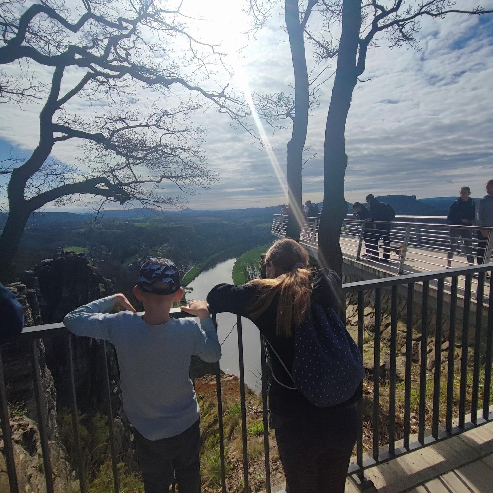

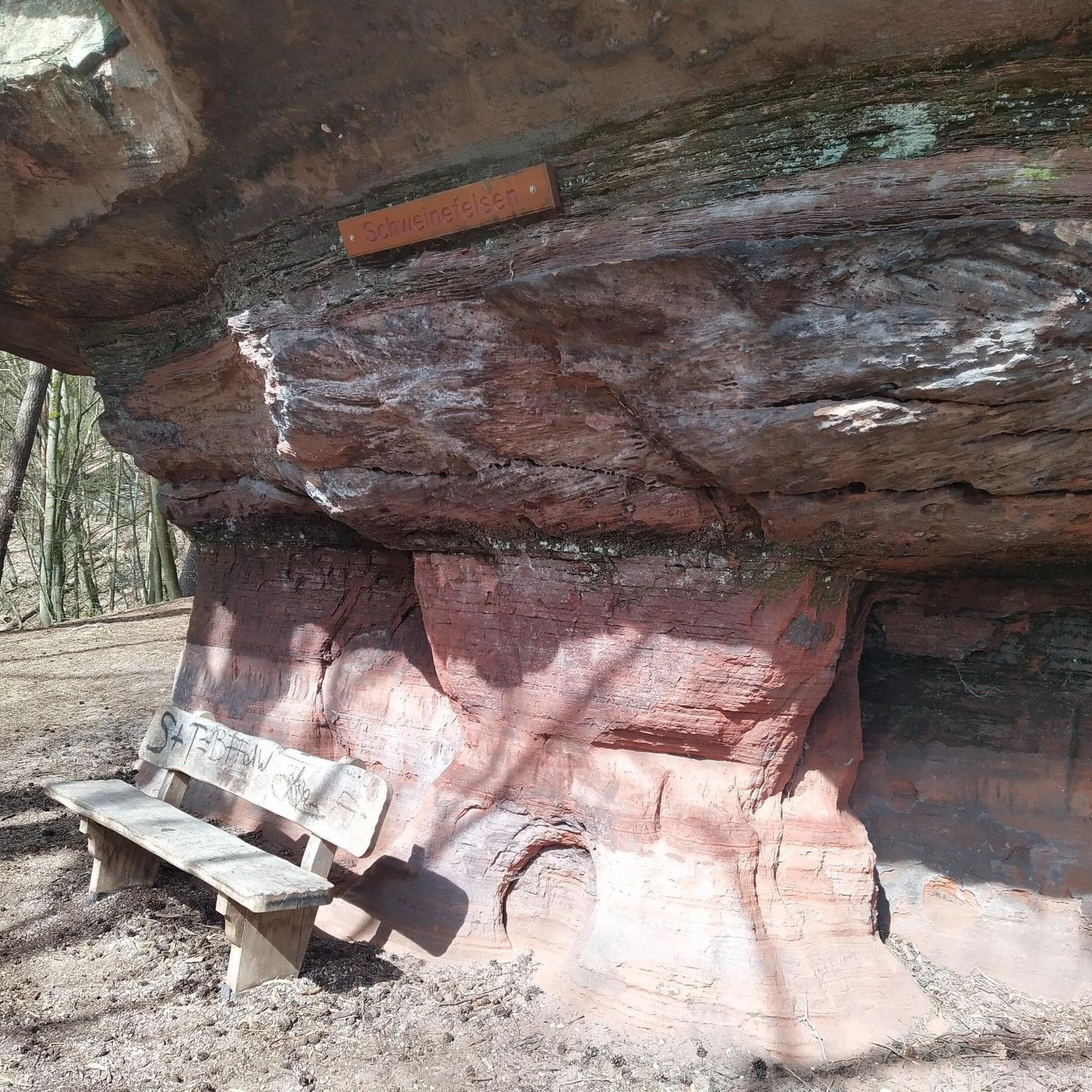

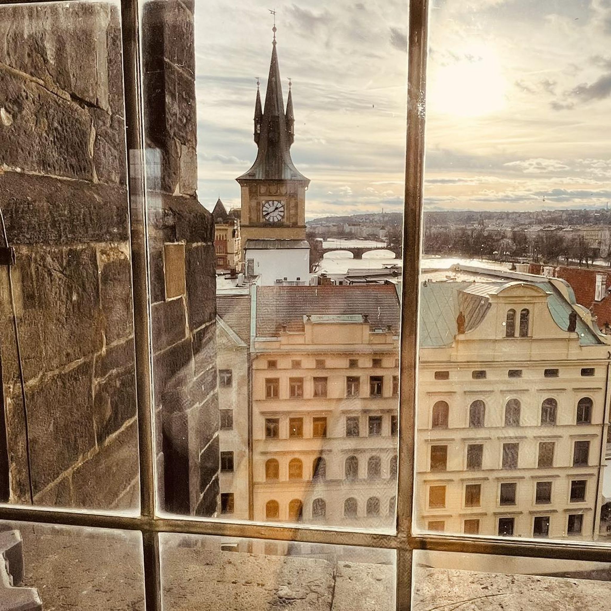
コミュニティからのヒント

素晴らしい記念碑です。敷地全体が心地よく、かなり観光地化されています。
0
0

Mont César rises to a height of 138 meters on the left bank of the Thérain River, near the hamlet of Froidmont, in the municipality of Bailleul-sur-Thérain, in the Oise department. The hill, which overlooks the valley and surrounding marshes, has been inhabited since the Bronze Age and was likely a Gallo-Roman oppidum on an ancient, fortified Gallic camp. Archaeological excavations carried out since the 18th century have unearthed numerous objects and remains of fortifications. During excavations conducted in 1878 by Isidore Berton, Gallic coins and various objects from the Roman period were discovered. Want to know more? Click through to the source: https://fr.wikipedia.org/wiki/Mont_C%C3%A9sar
0
0

The current church was built in 1803 on the site of the old church. It was restored in 1842. The bell, cast in Douai in 1862, bears the name of its godmother: Aimée Charlotte Henriette de Richoufftz. Its baptismal name, like many bells in our villages, was given after a blessing. It was installed in the steeple, built of cut stone, in 1874, thanks to the generosity of the Richoufftz family. The sound of the bell punctuated rural life and informed the inhabitants of certain events, announcing the dangers, joys, or sorrows of daily life. The church's stained-glass windows feature the Richoufftz family crest: three gold stag heads on a blue background. Manin Castle, built in 1745, is located behind the church.
0
0

Small chapel accessible from Saulty, leads to the national
0
0

Such places are still very important today as memorials to the countless war dead. "Now, Lord, you let your servant depart in peace, as you have said..." says the so-called "Hymn of Simeon" (Luke's Gospel, Chapter 2, Verse 29). However, the many people buried here did not depart in peace, but became victims of war and an inhuman tyranny. The most important and at the same time everlasting function of the military or honorary cemeteries or war graves is therefore to keep the memory of this suffering alive and - every generation anew (!) - to remind them of the need to maintain peace in the long term.
0
0

One of the rare trestles (or headframes, we can say both) still standing (although this one has probably been moved). These trestles were in fact the elevators which allowed the miners to descend into the pit.
0
0

Monument to the dead of Neuville-Saint-Vaast during the two world wars. The village was evacuated at the start of the Great War, destroyed by the fighting of 1915. The village was completely rebuilt after the war, hence its motto Resurgam and its coat of arms with the phoenix. The reconstruction was completed in the 1930s.
0
1
アグニエールでのの人気観光スポット

komootモバイルアプリでインスピレーションを得よう


さらに探索
他の地域の最高のロードサイクリングルートを見てみましょう。
