ラミュール=シュル=アゼルグのおすすめライド
4.7
(79)
1,567
ライダー
28
ライド
ラミュール=シュル=アゼルグ周辺のロードバイクルートをお探しですか?ここでは、komootが提供するラミュール=シュル=アゼルグでのロードバイクライドのコレクション全体を評価して選び抜いた人気ルートをご紹介します。各ライドの詳細をぜひご覧ください。
最終更新日: 10月 10, 2026
5.0
(1)
3
ライダー
72.1km
03:50
1,390m
1,390m
This difficult 44.8-mile (72.1 km) road cycling loop from Lamure-sur-Azergues takes you through the scenic Beaujolais region.
14
ライダー
39.3km
02:16
930m
930m
難しいロードライド. 標準以上のフィットネスレベルが必要です。 全般的に舗装状態が良好で走行しやすい道です。

11
ライダー
34.8km
01:54
710m
700m
中程度のロードライド. ある程度のフィットネスレベルが必要です。 全般的に舗装状態が良好で走行しやすい道です。
15
ライダー
50.8km
02:46
1,020m
1,020m
難しいロードライド. 標準以上のフィットネスレベルが必要です。 全般的に舗装状態が良好で走行しやすい道です。
16
ライダー
32.4km
01:35
430m
430m
中程度のロードライド. ある程度のフィットネスレベルが必要です。 全般的に舗装状態が良好で走行しやすい道です。
さらに多くのルートや他のユーザーのおすすめ情報を確認できます。
すでにアカウントをお持ちですか?
おすすめのツアーは他のkomootユーザーが実際に経験した何千ものアクティビティに基づいています。
無料アカウントで今日から始めよう
次の冒険が待っています。
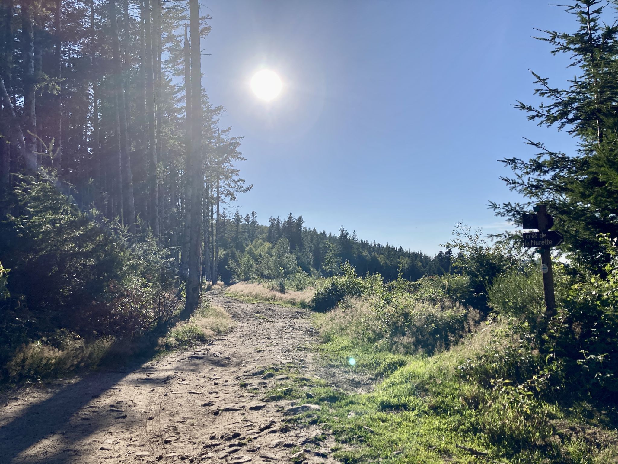
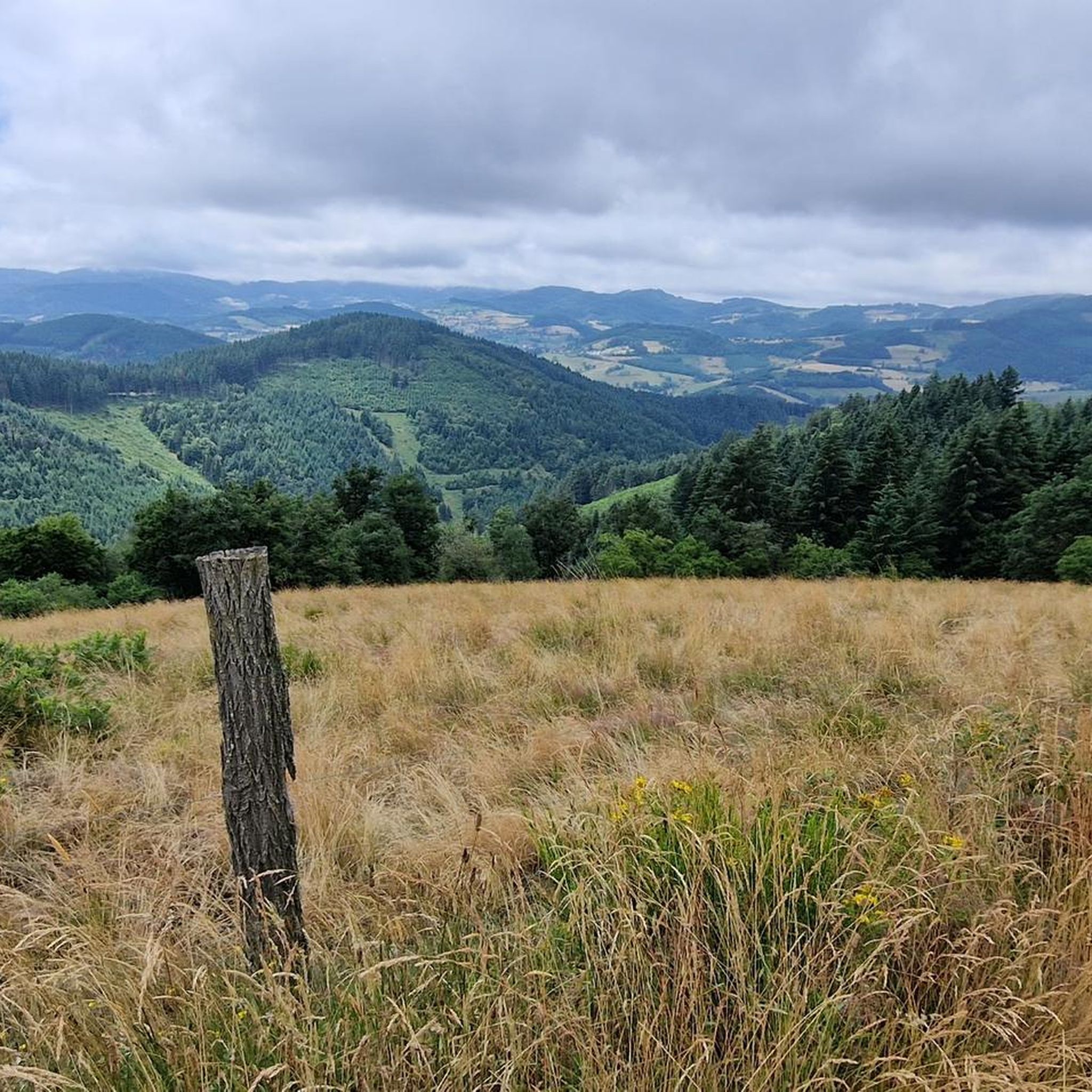
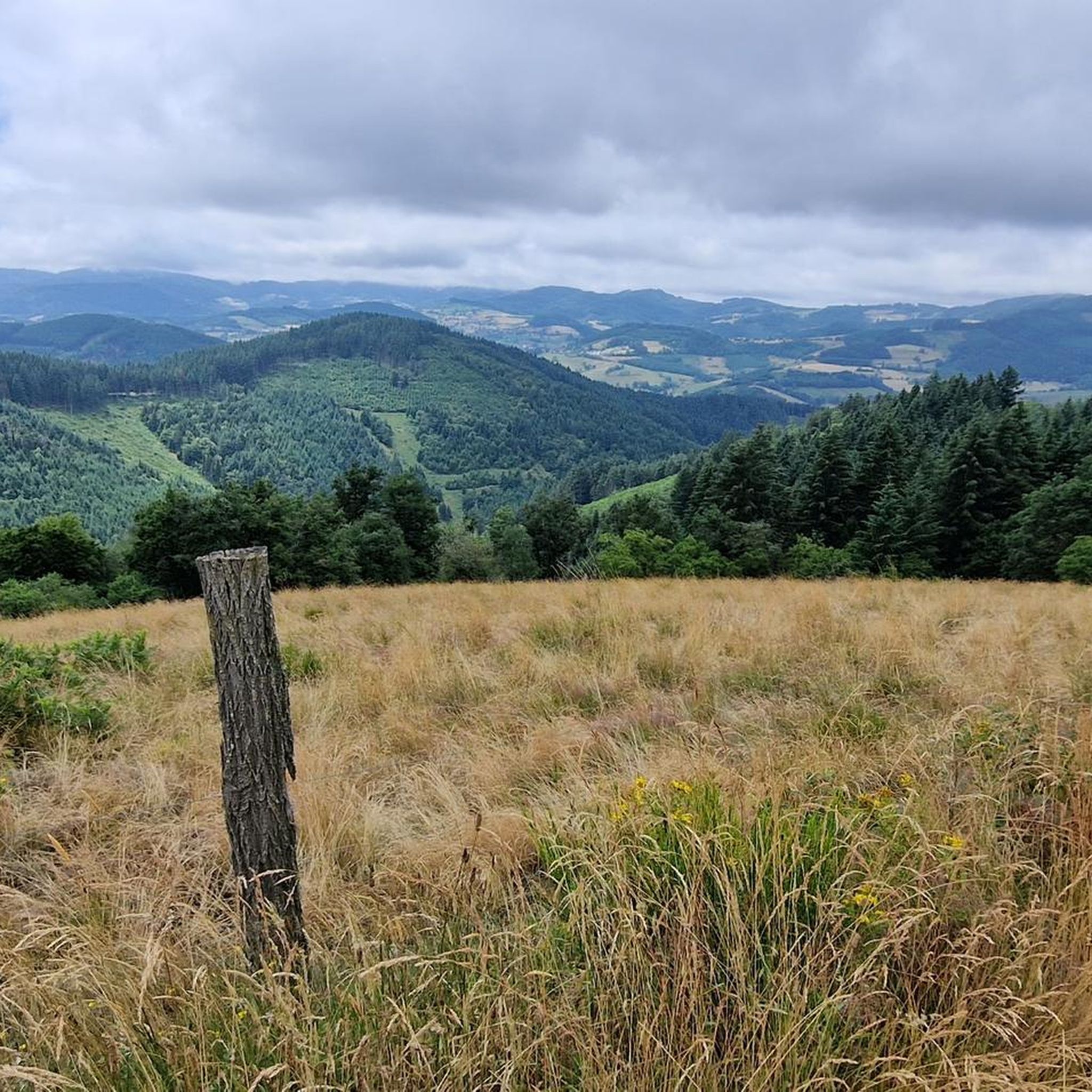
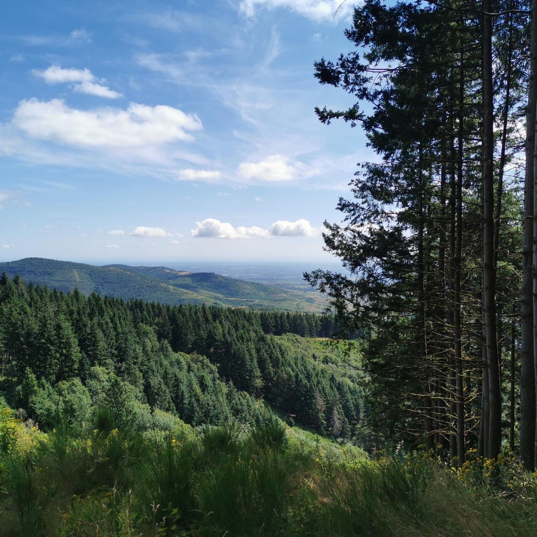
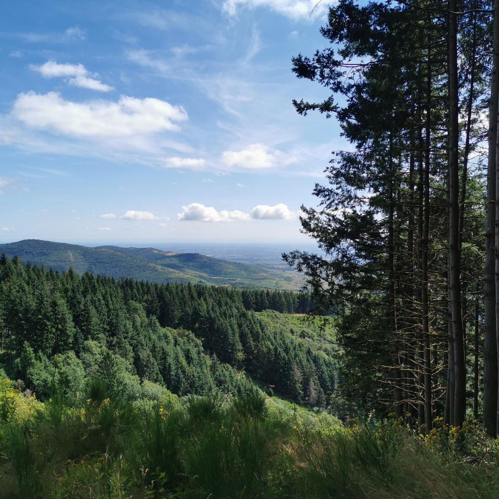

ラミュール=シュル=アゼルグでのの他の冒険

コミュニティからのヒント

アゼルグ渓谷(D385のle brie)から登り始めると、平均勾配7%以上の約6kmの登りになります。特に最初の1kmは勾配が10%から16%の間で変動します!素晴らしい小さな登りです!
0
0

Here is the route of the ascent of the Col de la Cambuse from Grandris
1
0
Here is the route for the ascent of the Col de la Cambuse starting from Cublize
1
0

Beautiful pass at 736 m, quite gentle, 6.1% average. Nice to do by mixing with the 76 gravel hiking trail.
3
0

The Col de Saint-Bonnet, located in the heart of the Alps, offers a spectacular panorama of the surrounding mountains and green valleys. This pass, perched at an altitude of 1,499 metres, is a favourite passage for hikers and cyclists in search of magnificent landscapes. As you climb the slopes of the pass, the view gradually opens up onto the Alpine peaks, forests and flowery meadows.
0
3

Very pleasant route through the undergrowth, then offering a magnificent view towards the Montmélas valley on a balcony section.
0
0
ラミュール=シュル=アゼルグでのの人気観光スポット

komootモバイルアプリでインスピレーションを得よう


さらに探索
他の地域の最高のロードサイクリングルートを見てみましょう。
