アストゥリアスのおすすめツーリングルート
4.5
(2288)
30,051
ライダー
1,579
ライド
アストゥリアスでサイクリングを楽しめば、スペインのこのエリアをより深く知ることができます。あなたにぴったりのアストゥリアスでのバイクライドが見つかるように、komootがサイクリングルートのコレクション全体を評価して選び抜いたルートをご紹介します。以下のルートをクリックして標高データや舗装状態の分析などの細かな情報を把握し、さらにkomootコミュニティのメンバーがアップロードした役立つ情報や写真も閲覧しましょう。
最終更新日: 8月 20, 2026
4.9
(17)
396
ライダー
27.8km
02:29
1,080m
1,080m
難しい自転車ライド. 標準以上のフィットネスレベルが必要です。 全般的に舗装された状態です。あらゆるスキルレベルに適しています。
4.8
(83)
276
ライダー
23.7km
01:41
150m
150m
中程度の自転車ライド. ある程度のフィットネスレベルが必要です。 全般的に舗装された状態です。あらゆるスキルレベルに適しています。

無料新規登録
4.9
(14)
58
ライダー
34.4km
02:29
740m
740m
難しい自転車ライド. 標準以上のフィットネスレベルが必要です。 全般的に舗装された状態です。あらゆるスキルレベルに適しています。
4.5
(2)
48
ライダー
76.0km
05:15
890m
890m
難しい自転車ライド. 標準以上のフィットネスレベルが必要です。 ツアーの一部で自転車を押して歩く必要があるかもしれません。
5.0
(4)
30
ライダー
33.7km
02:22
440m
440m
中程度の自転車ライド. ある程度のフィットネスレベルが必要です。 ツアーの一部に、未舗装のため走行が難しい箇所があるかもしれません。
4.8
(5)
33
ライダー
48.5km
03:24
700m
700m
難しい自転車ライド. 標準以上のフィットネスレベルが必要です。 全般的に舗装された状態です。あらゆるスキルレベルに適しています。
5.0
(3)
19
ライダー
15.7km
01:14
150m
150m
初級者向けバイクライド. あらゆるフィットネスレベルに適しています。 全般的に舗装された状態です。あらゆるスキルレベルに適しています。
2.0
(1)
24
ライダー
44.7km
03:59
1,370m
1,370m
難しい自転車ライド. 標準以上のフィットネスレベルが必要です。 ツアーの一部で自転車を押して歩く必要があるかもしれません。
4.5
(4)
22
ライダー
16.1km
01:08
300m
290m
中程度の自転車ライド. ある程度のフィットネスレベルが必要です。 全般的に舗装された状態です。あらゆるスキルレベルに適しています。
25
ライダー
77.7km
06:31
2,490m
2,490m
難しい自転車ライド. 標準以上のフィットネスレベルが必要です。 全般的に舗装された状態です。あらゆるスキルレベルに適しています。
さらに多くのルートや他のユーザーのおすすめ情報を確認できます。
無料新規登録
すでにアカウントをお持ちですか?
おすすめのツアーは他のkomootユーザーが実際に経験した何千ものアクティビティに基づいています。
無料アカウントで今日から始めよう
次の冒険が待っています。
ログインまたは登録
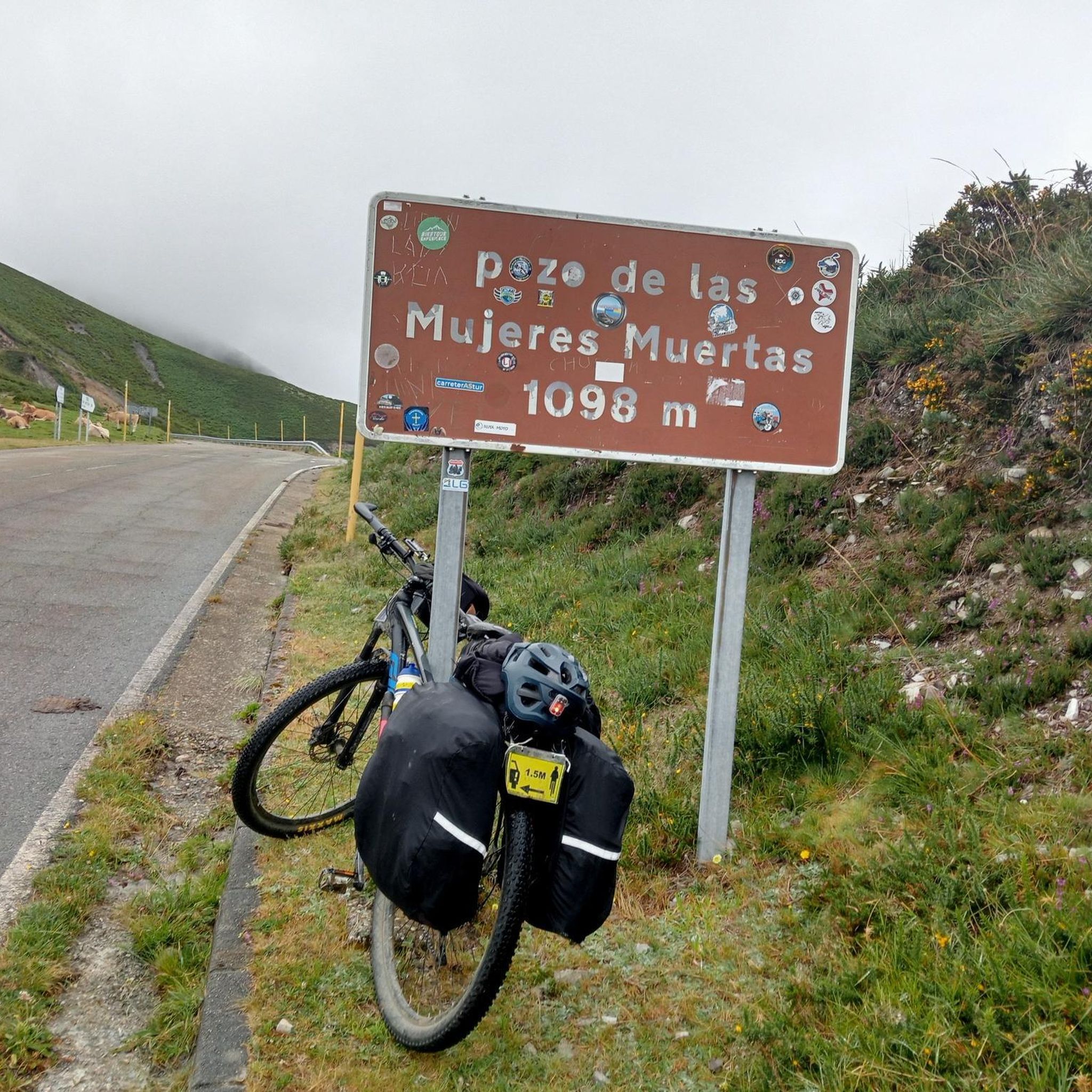
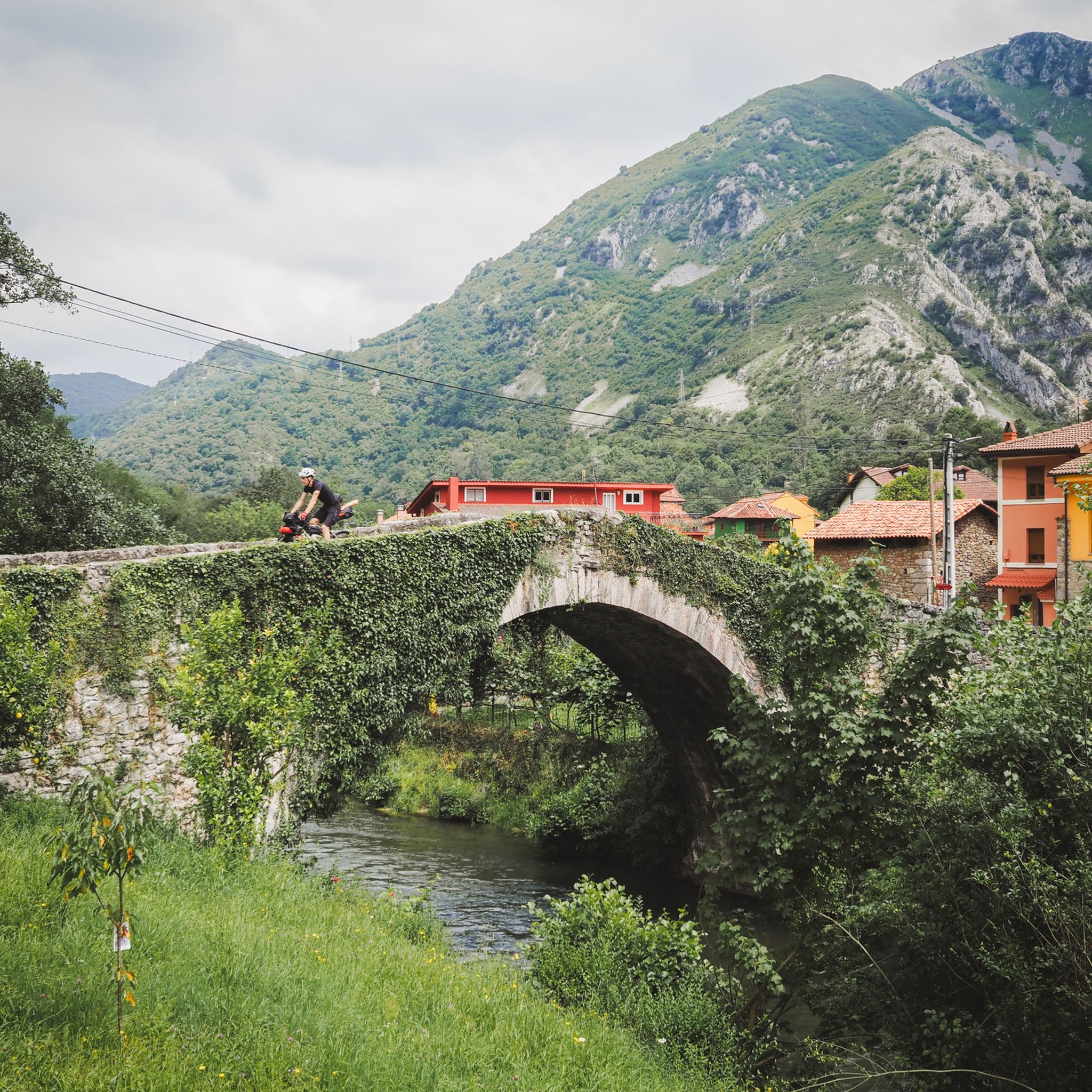
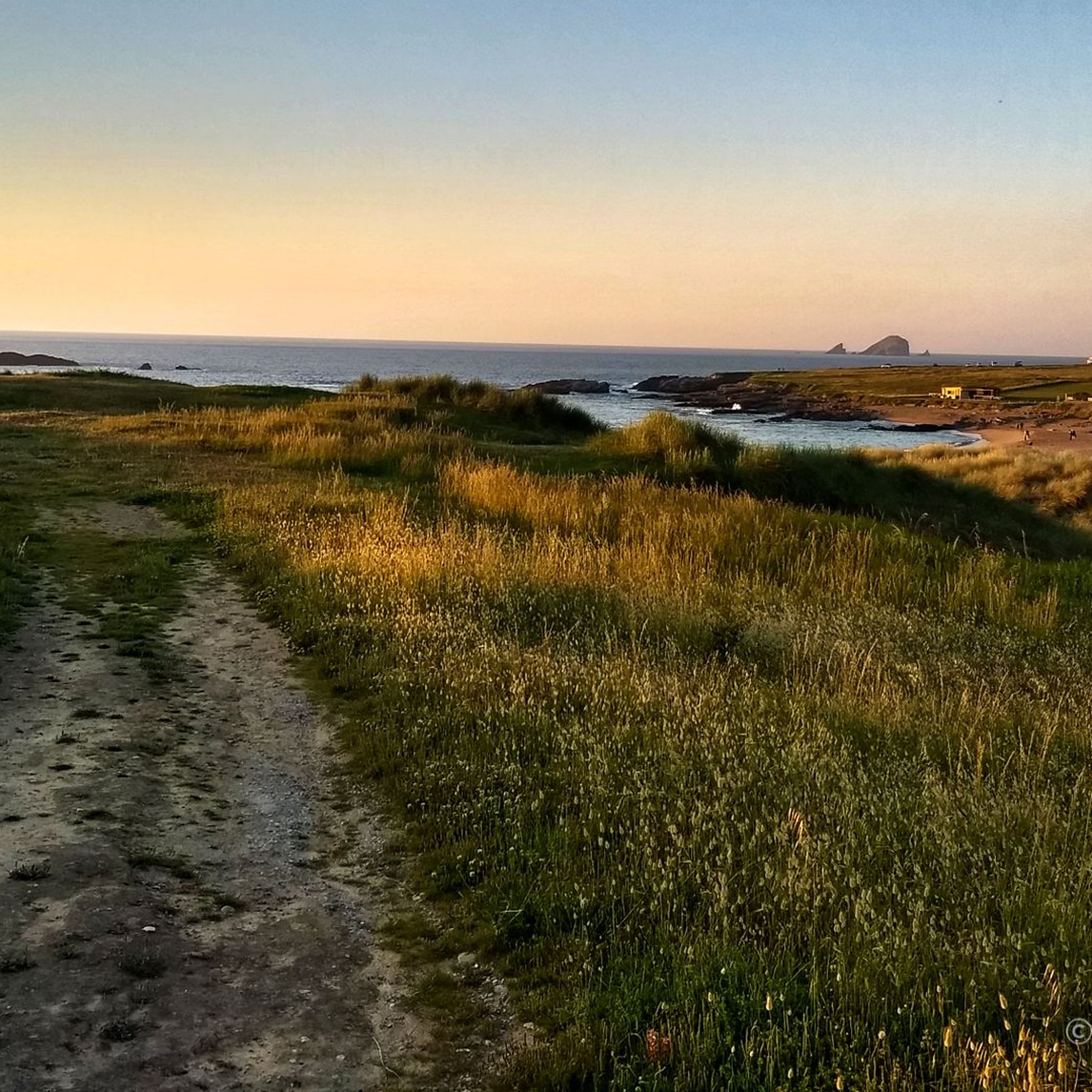
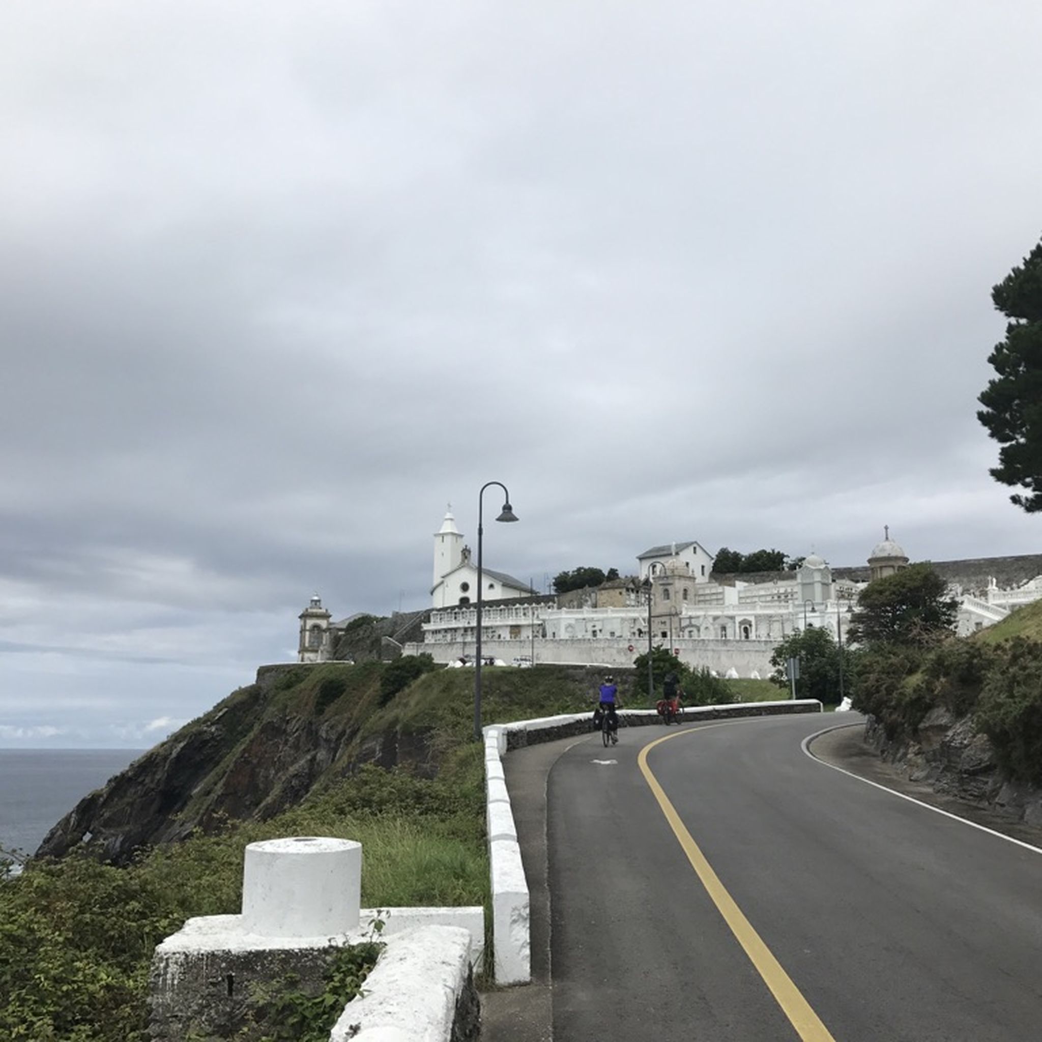
アストゥリアスでのの他の冒険


コミュニティからのヒント

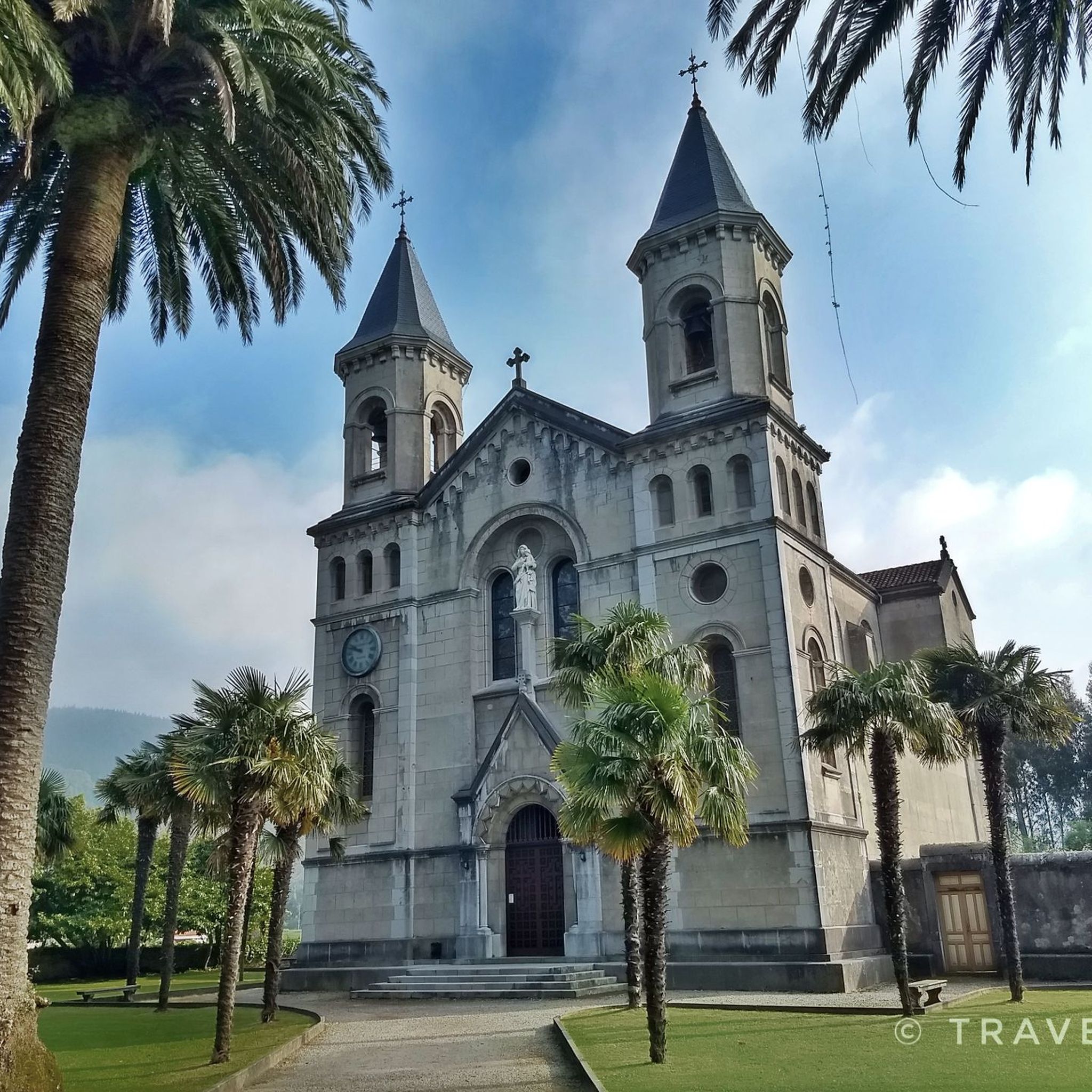
1945年から1955年の間に建てられたこの教会は、アストゥリアスのロマネスク様式前の寺院にインスパイアされています。サン・ロレンソ海岸から夜に見ると美しく、遊歩道全体が照らされ、その光が海に反射しています。
0
0

彫刻、噴水、休憩用のベンチがたくさんある公園です。アストゥリアスで最大の都市公園の一つだそうです。とてもきれいです!
1
0

It has easy access by car, parking, a range of hotels, a small seafront promenade and is the starting point of the Miradores Route, which is a spectacular section of the coastal path that crosses Asturias.
6
0
The presence of enormous, beautiful rocks on the coast gives this beach, the most occupied in the municipality of Muros de Nalón, a great attraction.
6
0
The Cabo Peñas Lighthouse is located on the most prominent plateau of Cabo Peñas, 100 meters above sea level and about 60 meters from the cliff. In operation since 1852, it was electrified in 1946. In 1951, a siren was installed that emits the letter "P" in Morse code, which was replaced in 1977. In 1956, a radio beacon was installed, transmitting in Morse code PS, and in 2003 a DGPS station was added. It emits three white flashes every 15 seconds, with a range of 21 nautical miles.
10
0

The pass is now paved and can be driven on by car.
1
0

During the mining era, this pass served as a discreet link between mines on either side, and minimal traces of old cart and mule traffic remain, though they don't coincide with the current road. From above, the wind is almost constant, and the view towards the Saliencia lakes has that air of a "natural viewpoint" before the term even existed. It's perfect to mark on Komoot as a key point on your route due to its spaciousness, its somewhat hidden history, and its character as a natural border.
1
0

A port that you can grab from any of its sides
0
0

komootモバイルアプリでインスピレーションを得よう


探していたものは見つかりませんでしたか?
アストゥリアスの下にある他のサイクリングルートをチェックして、目的地で完璧なルートを見つけましょう。
さらに探索
他の地域の最高のサイクリングルートを見てみましょう。
