フリクスクールのおすすめライド
4.4
(30)
774
ライダー
116
ライド
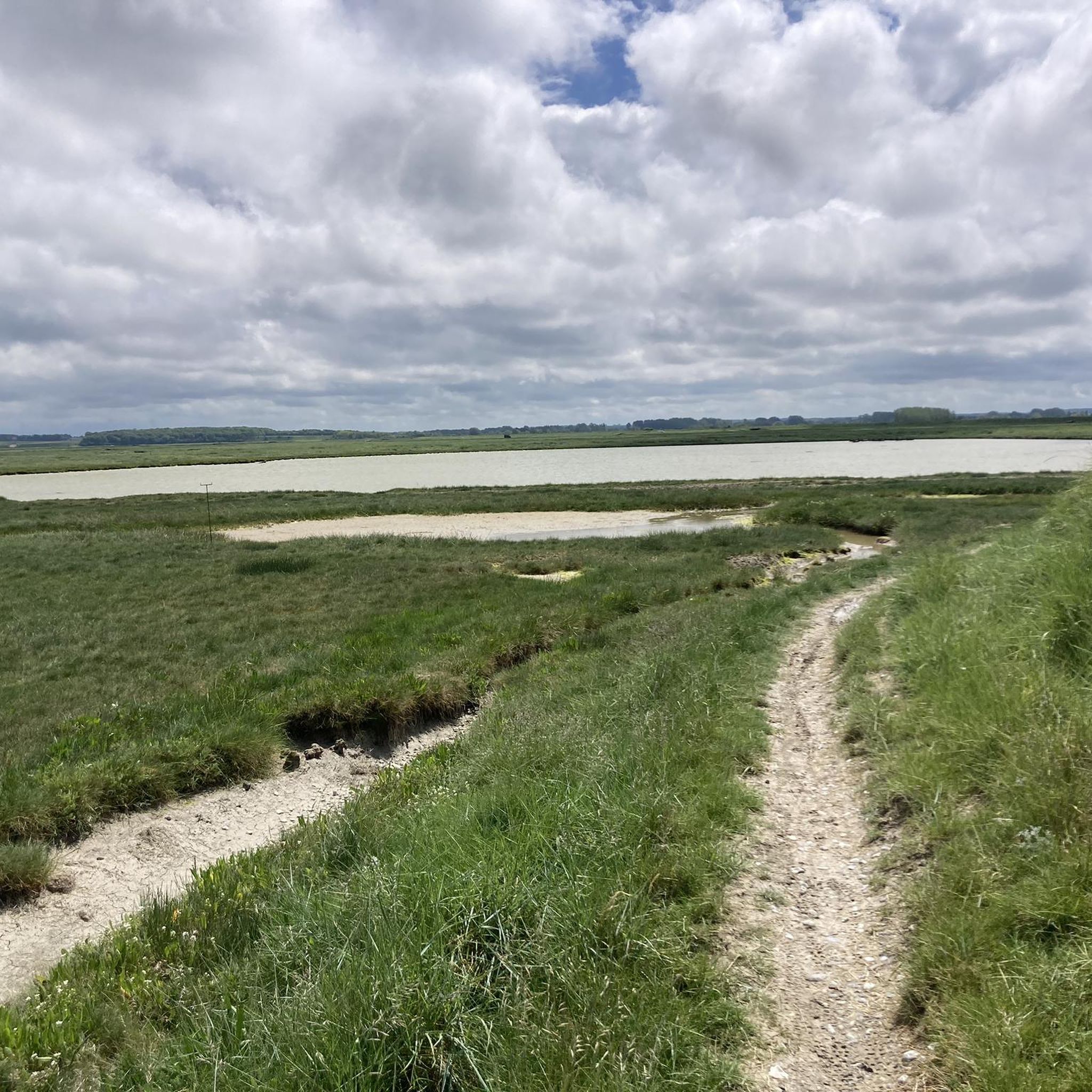
サイクリングロードは、緩やかな起伏と地方道のネットワークが特徴のソンム川流域を横断します。この地域は、広大な田園地帯、川や運河沿いの道、そして自然の池が融合しています。サイクリストは、農地や小さな村々を含む多様な景色に出会い、標高は6メートルから105メートルまで変化します。この景観は、ほとんど舗装された路面を走りながら、様々なスキルレベルのサイクリストが楽しめるアクセスしやすいサイクリングを提供します。
フリクシュール周辺のベストサイクリングロード
- 最も人気のあるサイクリングロードは、自然エリア(池 7km)– ハンジュ=シュル=ソンム発、ノートルダム・デミアン大聖堂ループです。この73.3kmのトレイルは、3時間4分で完了します。この適度な難易度のルートは、自然の池エリアと歴史的ランドマークを結びます。
- 地元のサイクリストに人気のもう一つのルートは、ハヴェルナ城 – サン=オウアン発、ナウール地下都市ループです。これは49.5kmの適度な難易度のルートで、歴史的な城やユニークな地下遺跡を探検します。
- 地元のサイクリストに愛されているのは、ムーラン – サン=オウアン発、ドゥーランの鐘楼ループです。この55.9kmのトレイルは、田園風景や歴史的な場所を通り抜け、所要時間は約2時間22分です。
- フリクシュール周辺のサイクリングは、田園風景、歴史的な場所、そして自然の池が特徴です。このネットワークは、簡単なものからより挑戦的なものまで、様々なレベルのサイクリストに対応するオプションを提供します。
- フリクシュールのルートは、komootコミュニティから高く評価されており、30件以上のレビューで平均4.7つ星を獲得しています。900人以上のサイクリストがkomootを利用して、フリクシュールの多様な地形を探検しました。
最終更新日: 9月 8, 2026
5.0
(2)
49
ライダー
73.5km
03:04
390m
390m
中程度のロードライド. ある程度のフィットネスレベルが必要です。 ツアーの一部に、未舗装のため走行が難しい箇所があるかもしれません。
5.0
(1)
13
ライダー
50.3km
02:07
270m
270m
中程度のロードライド. ある程度のフィットネスレベルが必要です。 ツアーの一部に、未舗装のため走行が難しい箇所があるかもしれません。

12
ライダー
32.0km
01:28
230m
230m
中程度のロードライド. あらゆるフィットネスレベルに適しています。 ツアーの一部に、未舗装のため走行が難しい箇所があるかもしれません。
9
ライダー
10.7km
01:18
120m
110m
初級者向けロードバイクライド. あらゆるフィットネスレベルに適しています。 全般的に舗装状態が良好で走行しやすい道です。
6
ライダー
41.0km
01:44
250m
250m
中程度のロードライド. あらゆるフィットネスレベルに適しています。 ツアーの一部に、未舗装のため走行が難しい箇所があるかもしれません。
さらに多くのルートや他のユーザーのおすすめ情報を確認できます。
すでにアカウントをお持ちですか?
おすすめのツアーは他のkomootユーザーが実際に経験した何千ものアクティビティに基づいています。
無料アカウントで今日から始めよう
次の冒険が待っています。


コミュニティからのヒント

Stunning trompe-l'œil murals offer a subtle tribute to the Polish airmen who fell in the area during World War II. Near the church, you'll find a collection of old photographs and information about Naours as it once was. Don't forget to look at the street signs, some of which also include the name in Picard dialect – a rare find!
0
0
Magnificent castle, witness to a flourishing industrial past.
0
0


Not far from here (1.2 km), on the outskirts of Bourdon, there is a large military cemetery for German soldiers who fell here on the Somme in heavy fighting (including the Battle of Abbeville in early June 1940).
2
0


Rare climb worthy of the name in these surroundings
0
0

Small frescoes on the bridge in front of the church as well as on the large wall next to the school. There are several nods to the city.
1
0

At this picnic area by the canal, you can relax and admire the landscape.
4
0
フリクスクールでのの人気観光スポット

komootモバイルアプリでインスピレーションを得よう


さらに探索
他の地域の最高のロードサイクリングルートを見てみましょう。
