カンパーニャ・ドゥ・ソーの絶景の山頂・トップ4
絶景を目指して登るのであれ、達成感のために登るのであれ、山頂を訪れることで、カンパーニャ・ドゥ・ソーの美しい自然をもっと満喫することができます。4
もの選択肢の中から、制覇する山頂を決めるのは簡単ではありません。スムーズに次の冒険で目指す山頂を選べるように、カンパーニャ・ドゥ・ソーの素晴らしい山頂をこのガイドにまとめました。
最終更新日: 8月 31, 2026
コル・ド・パイエール
ハイライト • 山道
翻訳者 Google •
役立つ情報 は

ピック・ド・タルベス
ハイライト • 山頂
翻訳者 Google •
役立つ情報 は

今すぐサインアップして、こんな場所を発見しよう
最高のシングルトラック、ピーク、その他のエキサイティングなアウトドアスポットのおすすめを受け取ろう。
無料新規登録
ピック・デュ・ミディ・ド・ロックフイユ
ハイライト • 山頂
翻訳者 Google •
役立つ情報 は

ラ・ダン・ドルル
ハイライト • 山頂
翻訳者 Google •
役立つ情報 は
Le Roc Blanc
ハイライト • 山頂
翻訳者 Google •
役立つ情報 は
無料でサインアップして、さらに多くの山を発見しましょう カンパーニャ・ドゥ・ソーでの。
無料新規登録
すでにアカウントをお持ちですか?
無料アカウントで今日から始めよう
次の冒険が待っています。
ログインまたは登録

コミュニティからのヒント

頂上の素晴らしい景色。きれいな花と数頭の馬。美しいハイキング、…水を飲むのを忘れないでください
1
0

Nice climb, there are signs at the rocky parts, if the top is in the clouds the trails are also slippery, but it is more than worth the nice climb.
16
0

One of the best experiences on my entire tour. I have this picture with the view of the mountains as my screen background. The roads are still closed, the snow is piled up meters high on the sides and at the same time there is not a single car on the road. Simply fantastic
1
0

gorgeous view! and the way from there down to the lakes is definitely worth securing.
2
1

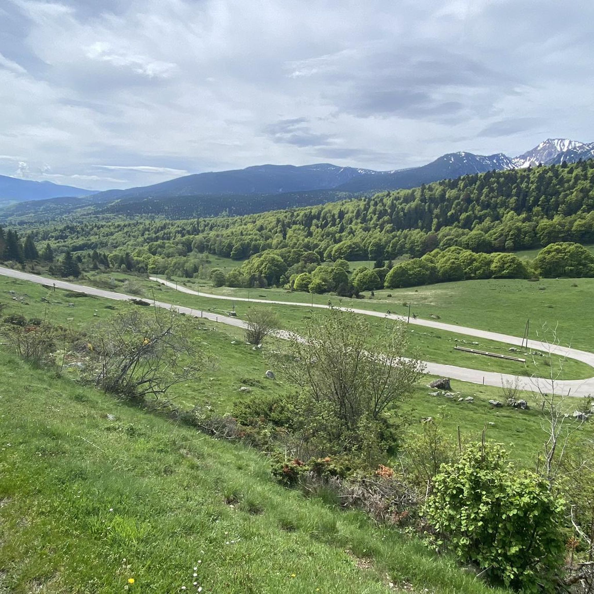
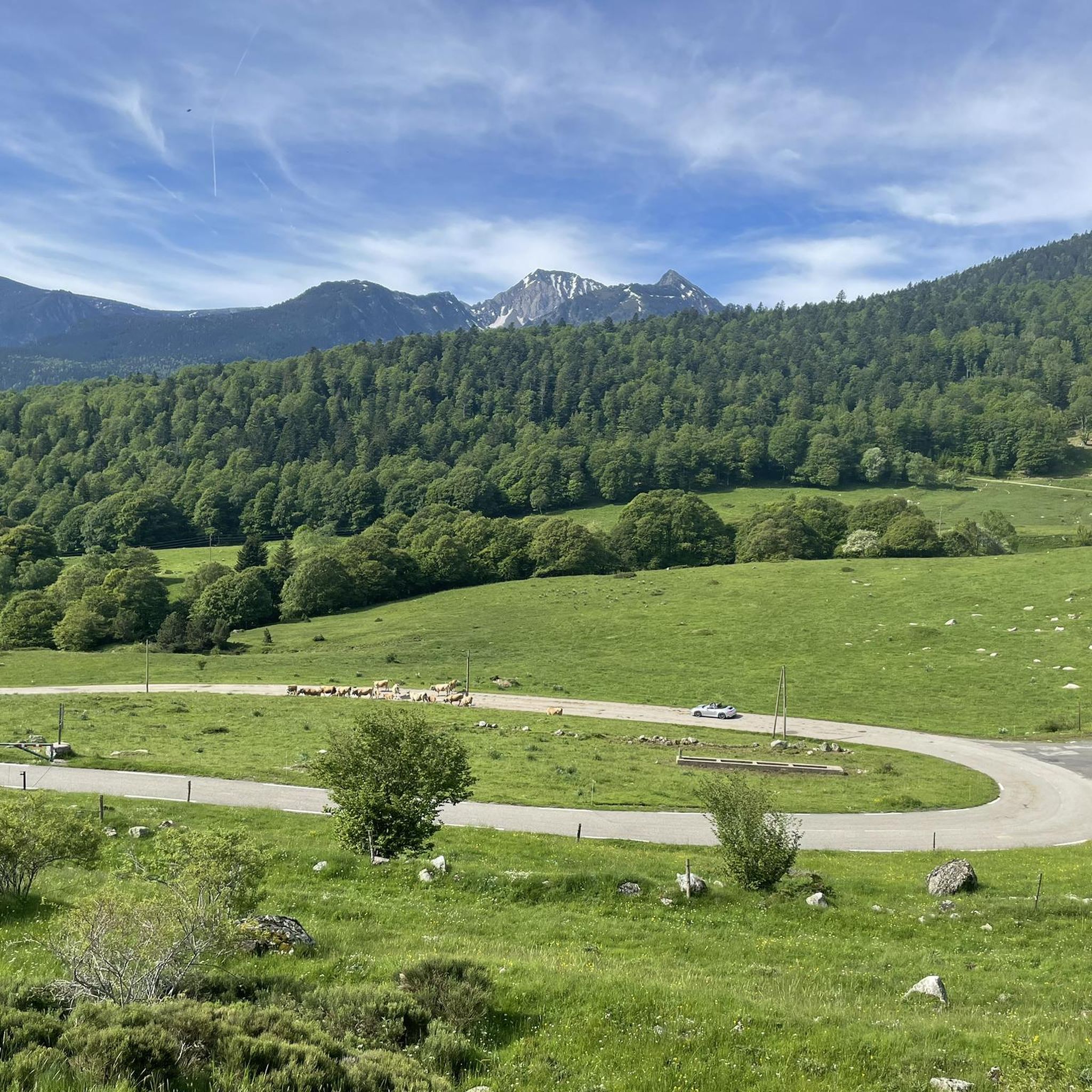
The Col de Pailhères, or Port de Pailhères, is one of the emblematic passes of the Pyrenees and the Tour de France. Culminating at 2,001 meters above sea level, it is one of the few passes in the Pyrenees to exceed the symbolic bar of 2,000 meters. The climb from Mijanès is 10.6 kilometers long with an average of 8.2%, including some passages at more than 10%. It is also possible to climb from Ax-les-Thermes by means of a climb of 18.6 kilometers with an average of 6.9%.
4
0

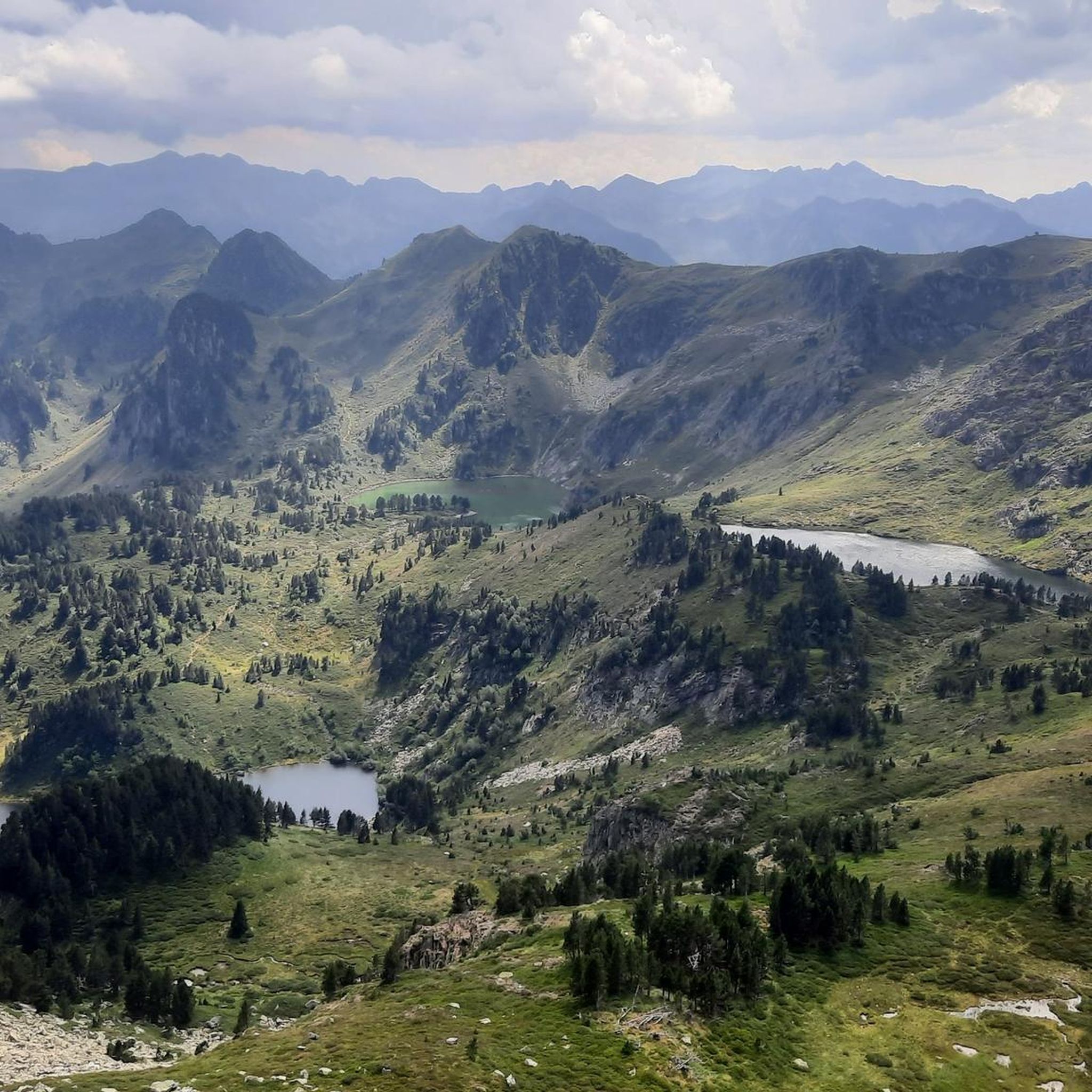
The peak of Tarbésou, which culminates at 2,364 meters and overlooks the ponds of Rabassoles, offers a magnificent belvedere.
3
0
カンパーニャ・ドゥ・ソーでのの人気観光スポット

komootモバイルアプリでインスピレーションを得よう


さらに探索
これらのガイドでさらに素晴らしい頂上を見てみましょうカンパーニャ・ドゥ・ソーでの:
