バルジャックのおすすめ登山&山歩きルート
4.8
(5)
13
ハイカー
3
ハイキング
アレスの山々をもっと探索しませんか?このガイドでご紹介するのは、komootがバルジャックでの登山&山歩きのコレクション全体を評価して選び抜いた、このエリアの人気ルートです。あなたに合ったルートを見つけるには、他のユーザーがアップロードした役立つ情報や写真を閲覧し、クリック操作で簡単に表示できる詳細なデータを参考にしましょう。バルジャックでの次の冒険にぴったりの登山&山歩きルートが見つかるはずです。
最終更新日: 9月 2, 2026
4.5
(2)
7
ハイカー
10.3km
03:24
270m
270m
中程度の登山ルート. ある程度のフィットネスレベルが必要です。 全般的に進みやすいルートです。安定して歩行できる技術が必要です。
1
ハイカー
5.39km
01:47
120m
120m
難しい登山ルート. あらゆるフィットネスレベルに適しています。 安定して歩行できる技術、丈夫な靴、高標高地での登山経験が必要です。

5.0
(3)
5
ハイカー
13.8km
04:14
380m
380m
中程度の登山ルート. ある程度のフィットネスレベルが必要です。 全般的に進みやすいルートです。安定して歩行できる技術が必要です。
おすすめのツアーは他のkomootユーザーが実際に経験した何千ものアクティビティに基づいています。
無料アカウントで今日から始めよう
次の冒険が待っています。

コミュニティからのヒント

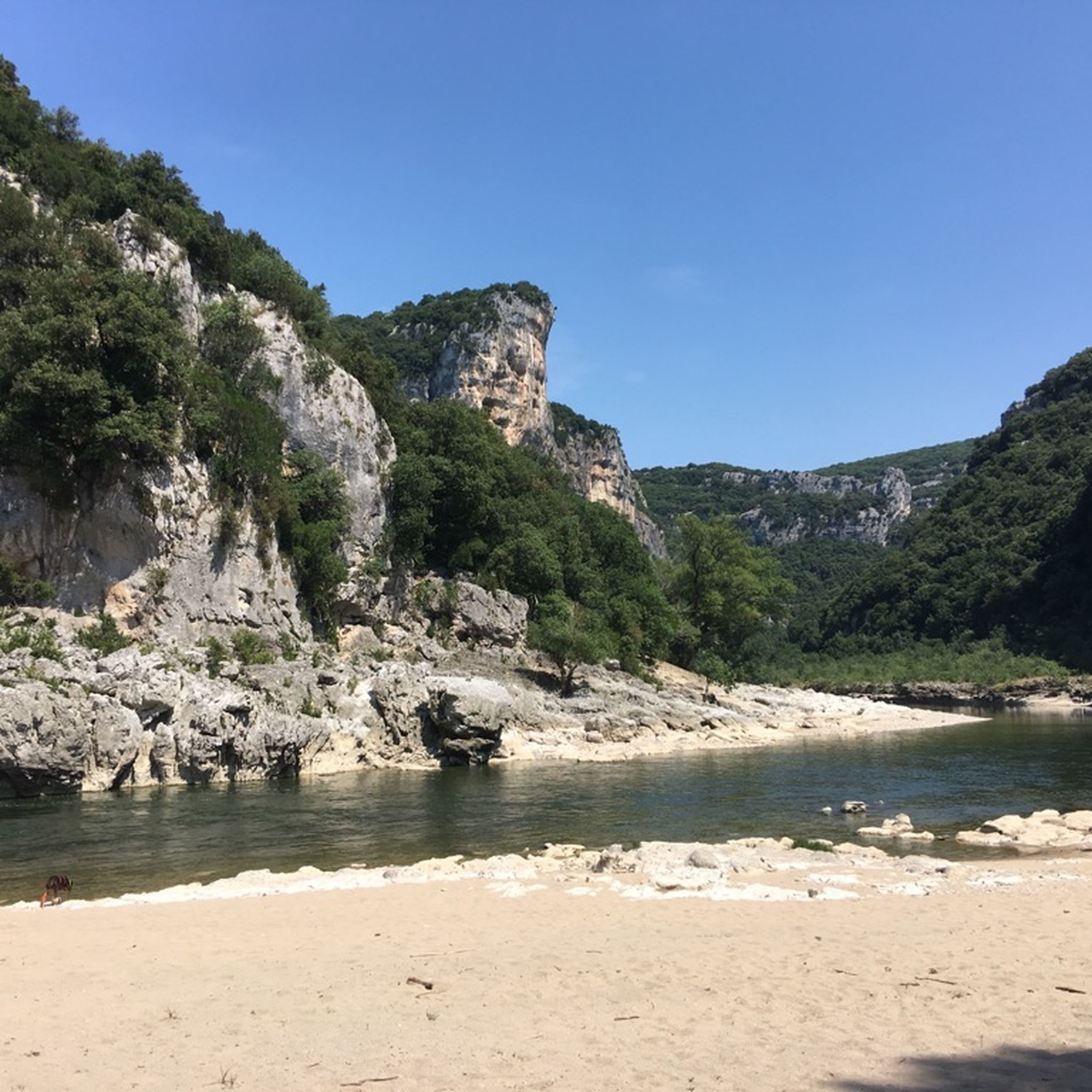
Dry canyoning the other way around. Just before the campsite on the Ardèche is the entrance to the river, which dries up in summer. I agree with the previous writer, this is not a safe hike in many parts, as it contains exposed areas, climbing and bouldering elements. I suspect that it is easier to go uphill along the river (like we did). Assuming you have the relevant experience, this is a fantastically beautiful and very special hike. I haven't had so much fun 'hiking' for a long time. But please be careful.
0
0

An interesting whim of nature that reveals itself to the visitor here with the "Pont d'Arc Ardèche". At the same time, this natural arch broken by the river into the rock is an impressive testimony to the power of the water that has carved its way through here over time.
6
0

Otherwise you can only see the "bridge" down from the beach, from up here you have an impression of how the natural monument has integrated into the whole landscape and how the Ardeche has dug through the landscape.
6
0

From here you have a view of the Pont d'Arc, a natural arch, 54 meters high. This passage over the Ardèche was formed more than 120,000 years ago by karst erosion. The Pont d'Arc is well known to kayakers, swimmers and diving enthusiasts.
4
0

Perched on its rocky outcrop, the castle of Vallon dominated the plain at the entrance to the Ardèche gorges, offering a magnificent view of the southern Ardèche. Built in the 11th century, it was destroyed in 1628 during the wars of religion. The houses nestled at the foot of the castle were gradually abandoned in favor of the new town built in the plain, and are now falling into ruin.
0
0

Very rewarding hike through the river bed
0
0

Great view towards Pont D'arc. You can't see the Pont D'arc itself because it's covered by trees
5
0
An incredibly beautiful view towards Pont D'arc. A head for heights is a real advantage here.
5
1
バルジャックでのの人気観光スポット

komootモバイルアプリでインスピレーションを得よう


