ツヴァイジンメンのおすすめ登山&山歩きルート
4.8
(8)
79
ハイカー
14
ハイキング
オーバージンメンタール-ザーネンの山々をもっと探索しませんか?このガイドでご紹介するのは、komootがツヴァイジンメンでの登山&山歩きのコレクション全体を評価して選び抜いた、このエリアの人気ルートです。あなたに合ったルートを見つけるには、他のユーザーがアップロードした役立つ情報や写真を閲覧し、クリック操作で簡単に表示できる詳細なデータを参考にしましょう。ツヴァイジンメンでの次の冒険にぴったりの登山&山歩きルートが見つかるはずです。
最終更新日: 7月 19, 2026
15
ハイカー
9.12km
03:30
450m
450m
中程度の登山ルート. ある程度のフィットネスレベルが必要です。 全般的に進みやすいルートです。安定して歩行できる技術が必要です。
5.0
(1)
8
ハイカー
9.54km
04:19
740m
740m
難しい登山ルート. ある程度のフィットネスレベルが必要です。 安定して歩行できる技術、丈夫な靴、高標高地での登山経験が必要です。

無料新規登録
12
ハイカー
14.9km
06:57
1,320m
1,320m
難しい登山ルート. 標準以上のフィットネスレベルが必要です。 安定して歩行できる技術、丈夫な靴、高標高地での登山経験が必要です。
5.0
(2)
5
ハイカー
16.3km
08:25
1,330m
1,330m
難しい登山ルート. 標準以上のフィットネスレベルが必要です。 安定して歩行できる技術、丈夫な靴、高標高地での登山経験が必要です。
4.0
(1)
7
ハイカー
15.4km
07:38
1,300m
1,300m
難しい登山ルート. 標準以上のフィットネスレベルが必要です。 安定して歩行できる技術、丈夫な靴、高標高地での登山経験が必要です。
さらに多くのルートや他のユーザーのおすすめ情報を確認できます。
無料新規登録
すでにアカウントをお持ちですか?
おすすめのツアーは他のkomootユーザーが実際に経験した何千ものアクティビティに基づいています。
無料アカウントで今日から始めよう
次の冒険が待っています。
ログインまたは登録
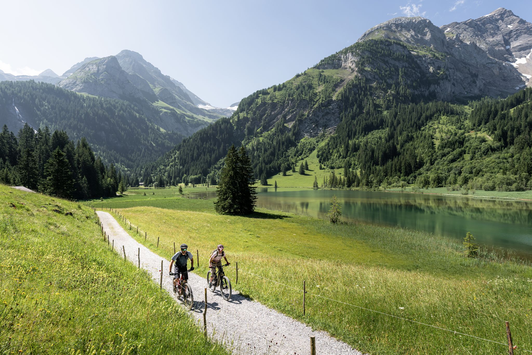
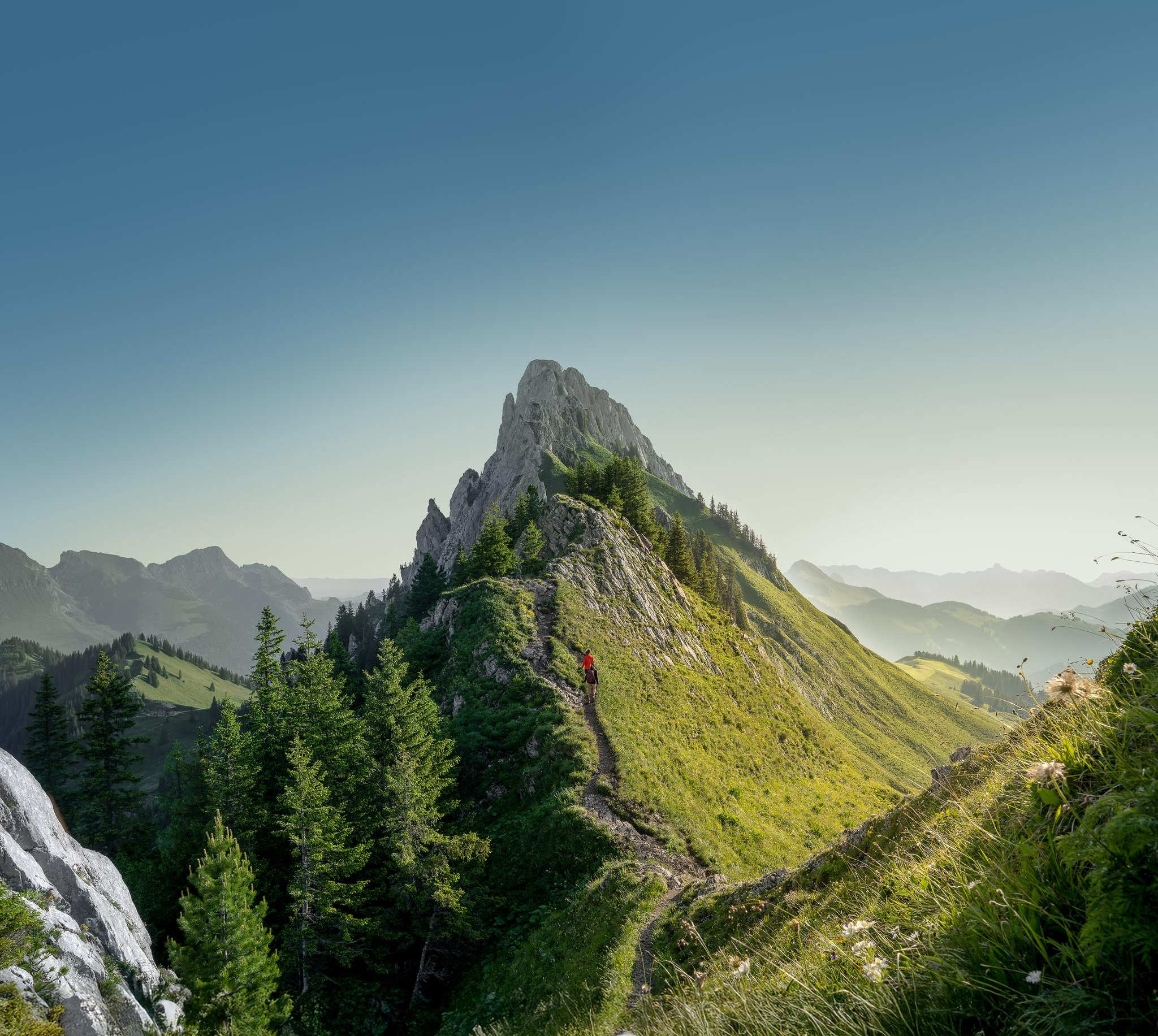
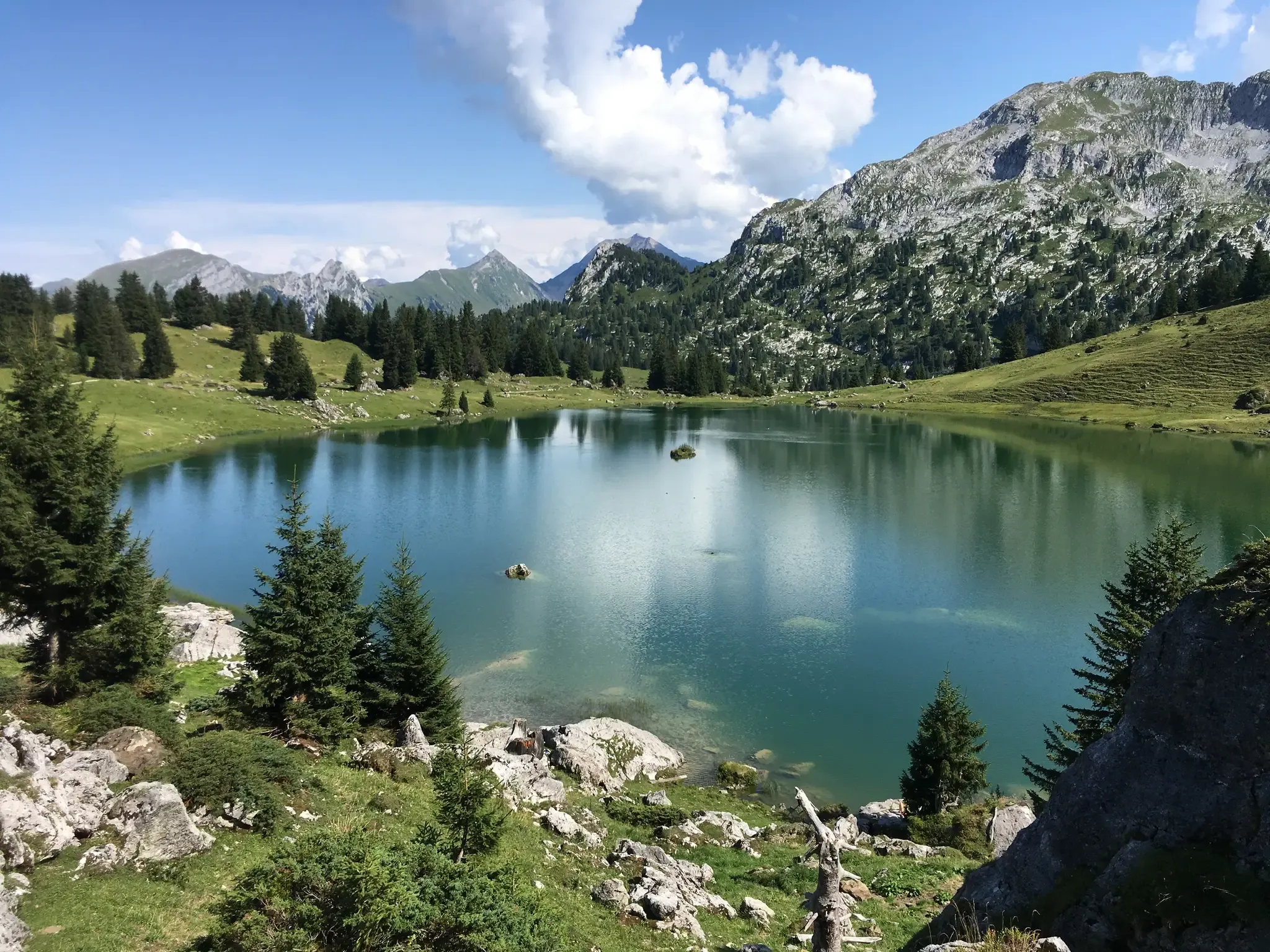
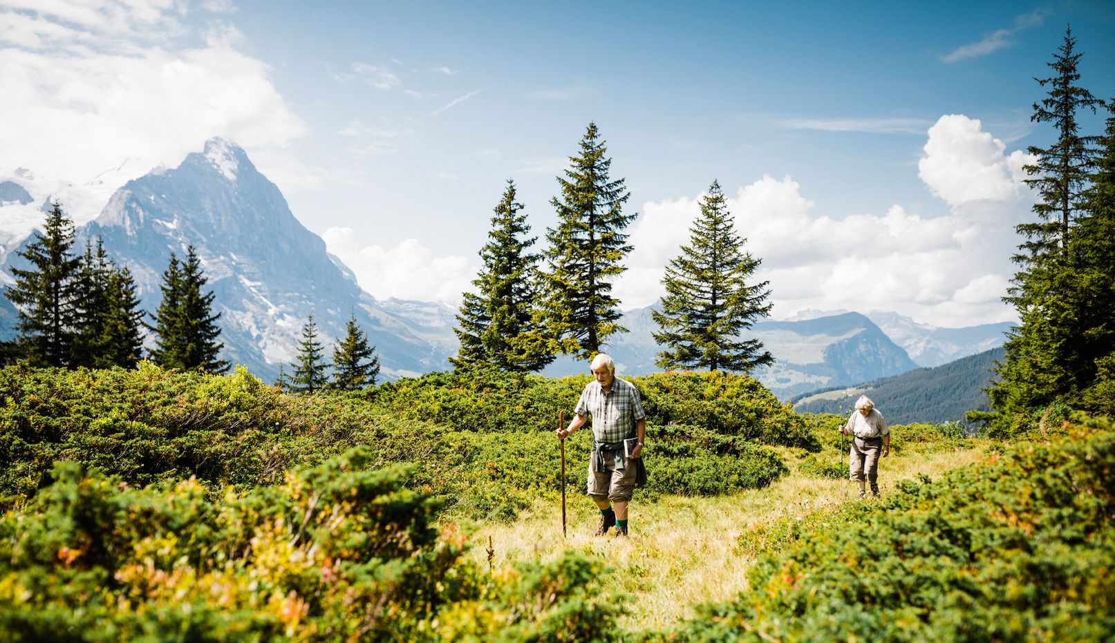

ツヴァイジンメンでのの他の冒険


コミュニティからのヒント

A small peak between Lenk and Adelboden. Can be reached by hiking from Hahnenmoos via the Laveygrat.
3
0
A beautiful panoramic summit at the end of the Niesen range. Can be climbed from two sides via alpine trails.
7
0

The Wasserngrat is a striking vantage point above Gstaad, known for its breathtaking 360° views over the Saanenland, the Vaud Alps, the Wildstrubel, and far into Valais 🌄👀. A quiet ridge with an alpine character – ideal for hikers who want to venture off the beaten track. Its easy accessibility by cable car also makes it the perfect starting point for alpine tours (e.g., Wändliflueh, Lauenenhore, Giferspitz). Highlights: ✅ Pure panoramas in all directions ✅ Beautiful spot for sunrise or sunset 🌅 ✅ Introduction to exciting ridge hikes ✅ Wild, secluded, and rarely visited, away from the cable car station
0
0
The ridge path offers a secluded, panoramic high-altitude hike between Wasserngrat and Lauenenhore. The trail runs along a partly grassy, partly rocky ridge with magnificent views of the Saanenland, the Wildstrubel, the Wildhorn, and, on a clear day, even Mont Blanc. Characteristics: 🔸 Difficulty: T2, in places T3 🔸 Narrow, exposed, and partly unmarked 🔸 Only for sure-footed and experienced hikers with a head for heights Highlights: ✅ Spectacular views down towards Lauenen & Gstaad ✅ Wild, rarely used trail – truly peaceful mountain scenery ✅ Exciting crossing to Lauenenhore or further to Giferspitz possible Access: 🚠 Take the Wasserngrat cable car to the mountain station, then follow the ridge. Follow the trail Return via Matten–Lauenen or descent via alpine huts to Gstaad.
0
0

Trail running highlight. Challenging climb with technical challenges.
1
0

Great climb and view. Saw 10 golden eagles at once.
2
0

Between the Cheval Blanche and the Hochmatt, this beautiful ridge path with the best panorama leads into the Bulle plain and into the Alps.
0
0

komootモバイルアプリでインスピレーションを得よう


