コンタース・イム・プレティガウのおすすめランニングルート
4.5
(159)
8,587
ランナー
167
ランニング
コンタース・イム・プレティガウでランニングを楽しめば、このエリアをより深く知ることができます。ランニングに適した美しいルートが見つかるように、komootがコンタース・イム・プレティガウでのルートのコレクション全体を評価して選び抜いた、人気ランニングトレイルをご紹介します。ルートをクリックして詳細を表示し、他のユーザーがアップロードした役立つ情報や写真を閲覧しましょう。
最終更新日: 10月 11, 2026
3
ランナー
13.7km
01:47
210m
650m
Jog the difficult 8.5-mile Parsenn Trail, gaining 704 feet with high-alpine views and varied terrain, ideal for altitude training.
11
ランナー
9.03km
01:13
480m
480m
難しいジョギング. 標準以上のフィットネスレベルが必要です。 全般的に舗装された状態です。あらゆるスキルレベルに適しています。

6
ランナー
7.32km
00:55
300m
300m
中程度のジョギング. ある程度のフィットネスレベルが必要です。 全般的に舗装された状態です。あらゆるスキルレベルに適しています。
5
ランナー
10.8km
01:20
360m
360m
難しいジョギング. 標準以上のフィットネスレベルが必要です。 全般的に舗装された状態です。あらゆるスキルレベルに適しています。
5
ランナー
6.37km
00:50
320m
310m
難しいジョギング. 標準以上のフィットネスレベルが必要です。 全般的に舗装された状態です。あらゆるスキルレベルに適しています。
さらに多くのルートや他のユーザーのおすすめ情報を確認できます。
すでにアカウントをお持ちですか?
おすすめのツアーは他のkomootユーザーが実際に経験した何千ものアクティビティに基づいています。
無料アカウントで今日から始めよう
次の冒険が待っています。
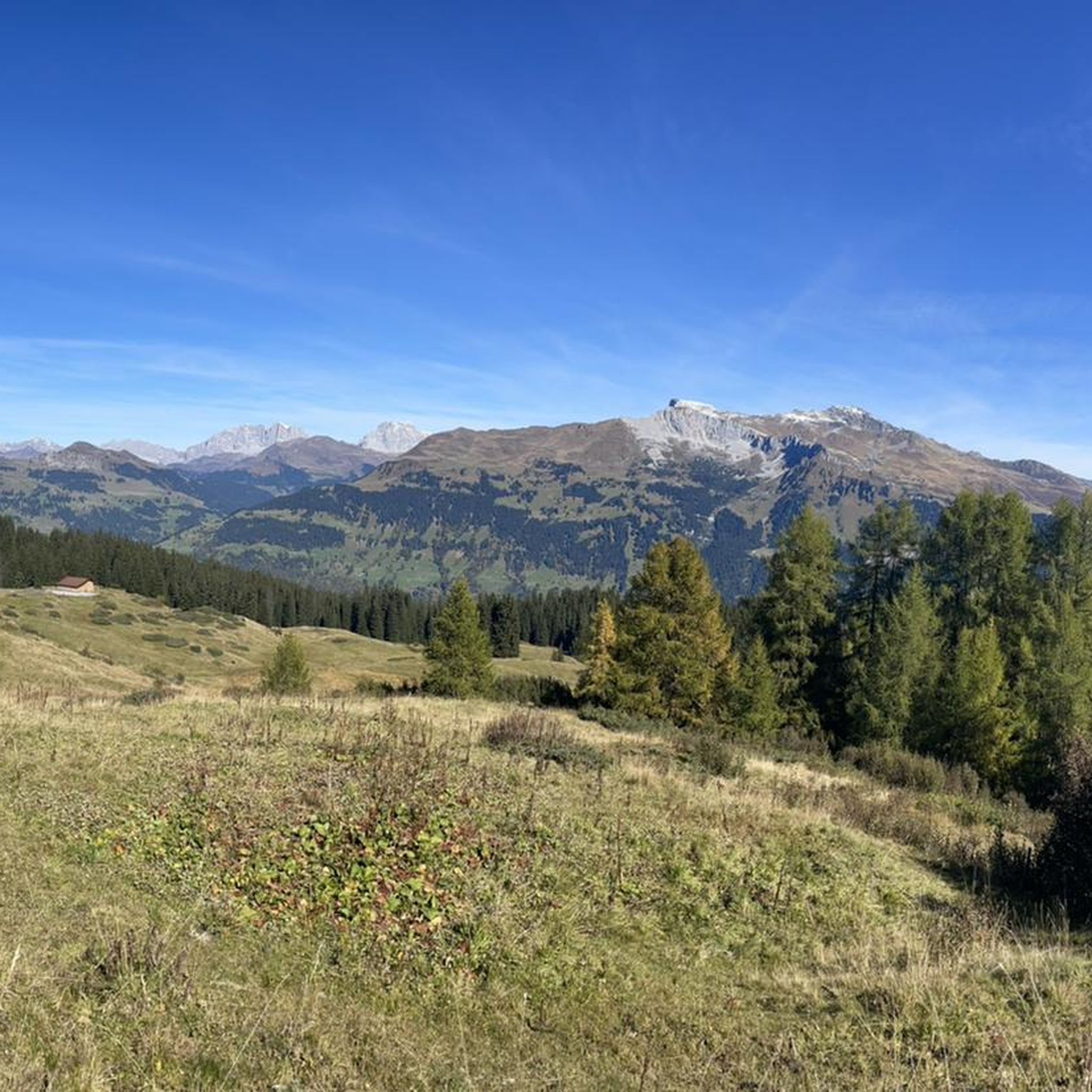
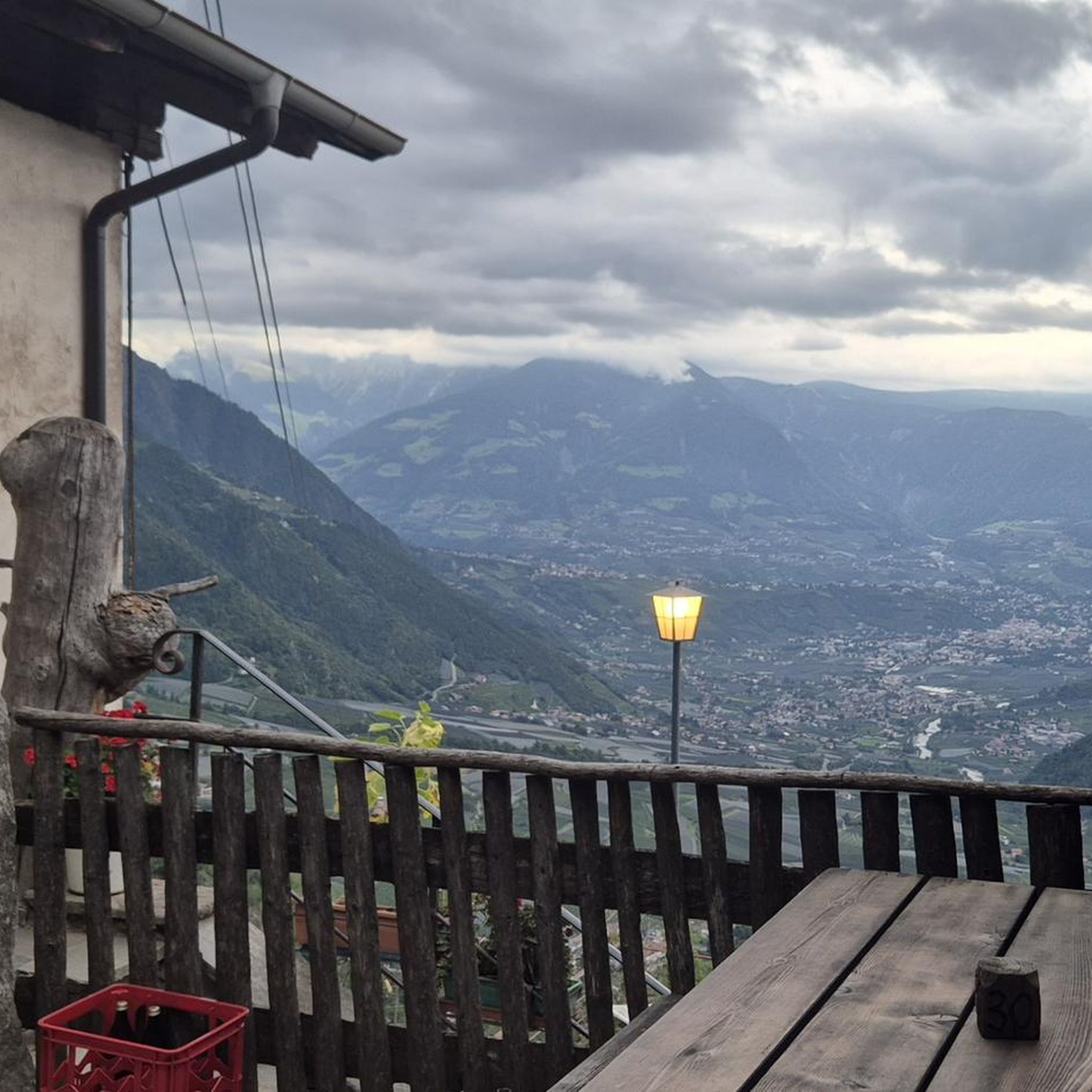
コミュニティからのヒント


The Pany circular trail is one of numerous snowshoe trails in the beautiful Prättigau region. The trail is marked with the number 566 and is easily recognizable thanks to pink wooden stakes. It leads you to idyllic spots and authentic places to stop for refreshments.
0
0


Very beautiful village center with well-preserved Walser houses.🥰
0
0

Self-service restaurant Weissfluhjoch at 2663 m above sea level Our self-service restaurant invites you to linger in both winter and summer and you decide for yourself what you choose from our extensive range. Although you are responsible for the service yourself, you can enjoy a fantastic view of the Graubünden mountains in our restaurant or on our terrace. Text / Source: Bergrestaurant Weissfluhjoch https://www.wfj.ch/parsenngebiet/
10
0
Mountain station (funiculars) and mountain restaurant Weissfluhjoch Weissfluhjoch Magnificent view at 2663 m above sea level The Weissfluhjoch is a 2693 m high mountain in the Plessur Alps. It is located in the northwest of Davos in the triangle of the Landwassertal, Prättigau and Schanfigg regions and is the local mountain of the Alpine town of Davos. The Parsennbahn has been opening up the Weissfluhjoch to tourism since 1932. Text / Source: Bergrestaurant Weissfluhjoch https://www.wfj.ch/parsenngebiet/
11
0
The Gotschnagrat mountain restaurant is located right next to the Gotschna mountain station at 2,285 meters. It is a good stop on a trail run in the Davos mountains. If your legs are tired, you can take the gondola down to Klosters.
0
0
コンタース・イム・プレティガウでのの人気観光スポット

komootモバイルアプリでインスピレーションを得よう


さらに探索
他の地域の最高のランニングトレイル & ルートを見てみましょう。
