マトンのおすすめランニングルート
4.8
(33)
776
ランナー
47
ランニング
マトンでランニングを楽しめば、このエリアをより深く知ることができます。ランニングに適した美しいルートが見つかるように、komootがマトンでのルートのコレクション全体を評価して選び抜いた、人気ランニングトレイルをご紹介します。ルートをクリックして詳細を表示し、他のユーザーがアップロードした役立つ情報や写真を閲覧しましょう。
最終更新日: 8月 31, 2026
13
ランナー
13.3km
01:43
480m
470m
難しいジョギング. 標準以上のフィットネスレベルが必要です。 全般的に舗装された状態です。あらゆるスキルレベルに適しています。
5.0
(3)
17
ランナー
5.16km
00:34
80m
80m
中程度のジョギング. ある程度のフィットネスレベルが必要です。 全般的に舗装された状態です。あらゆるスキルレベルに適しています。

無料新規登録
9
ランナー
5.46km
00:57
260m
260m
難しいジョギング. ある程度のフィットネスレベルが必要です。 安定して歩行できる技術、丈夫な靴、高標高地での登山経験が必要です。
14
ランナー
8.95km
00:57
90m
90m
中程度のジョギング. ある程度のフィットネスレベルが必要です。 全般的に舗装された状態です。あらゆるスキルレベルに適しています。
5.0
(1)
10
ランナー
17.8km
02:41
780m
780m
難しいジョギング. 標準以上のフィットネスレベルが必要です。 安定して歩行できる技術、丈夫な靴、高標高地での登山経験が必要です。
さらに多くのルートや他のユーザーのおすすめ情報を確認できます。
無料新規登録
すでにアカウントをお持ちですか?
おすすめのツアーは他のkomootユーザーが実際に経験した何千ものアクティビティに基づいています。

コミュニティからのヒント


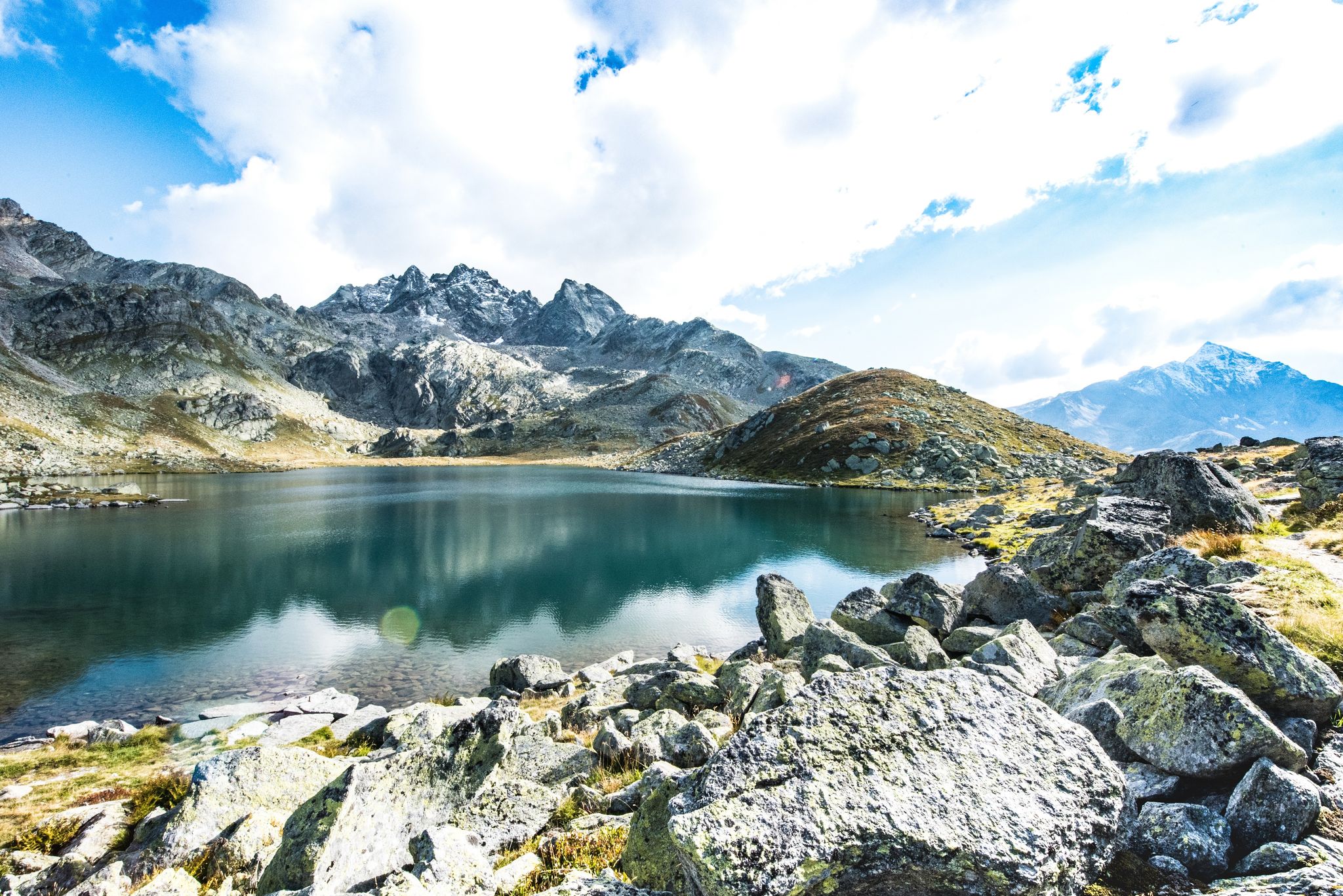
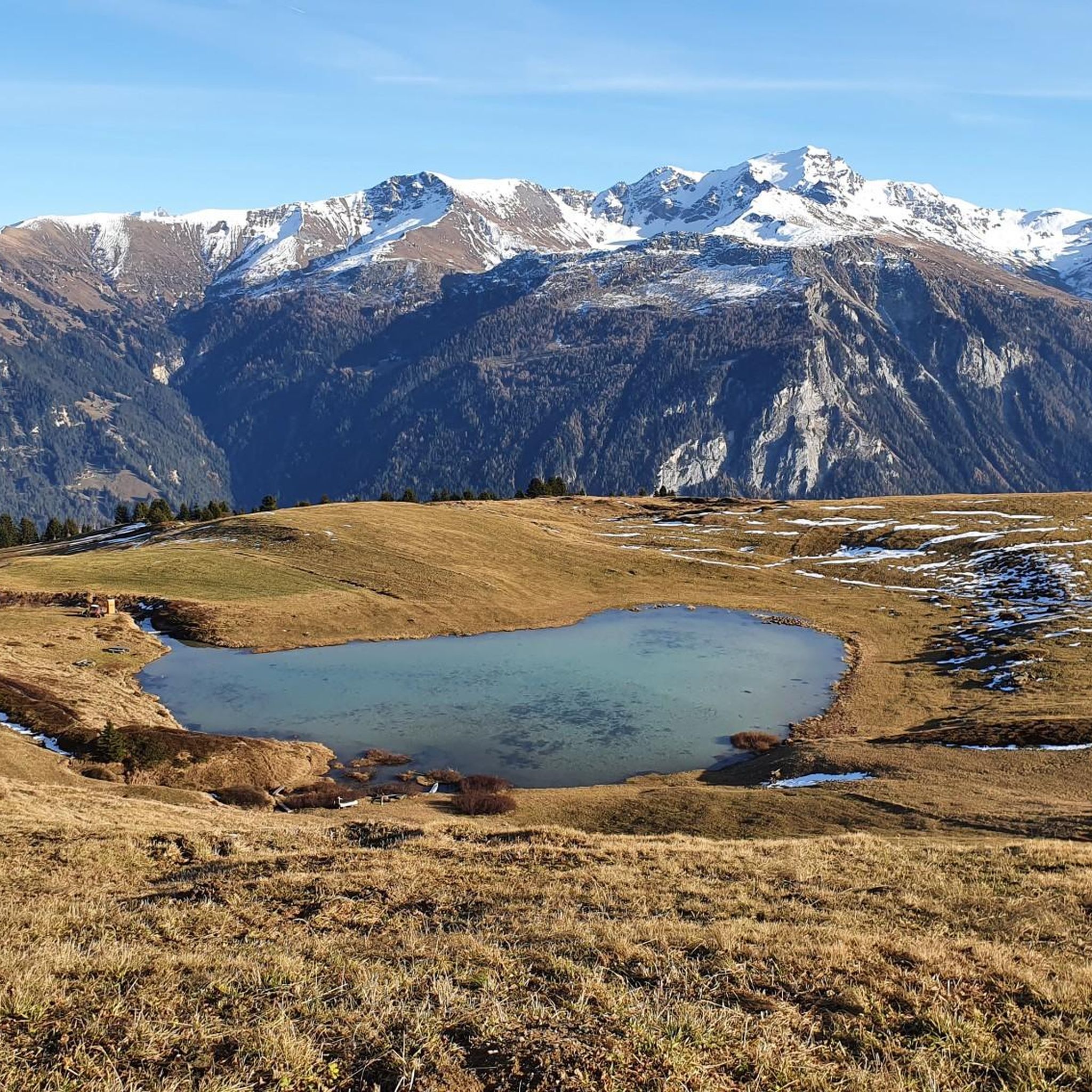
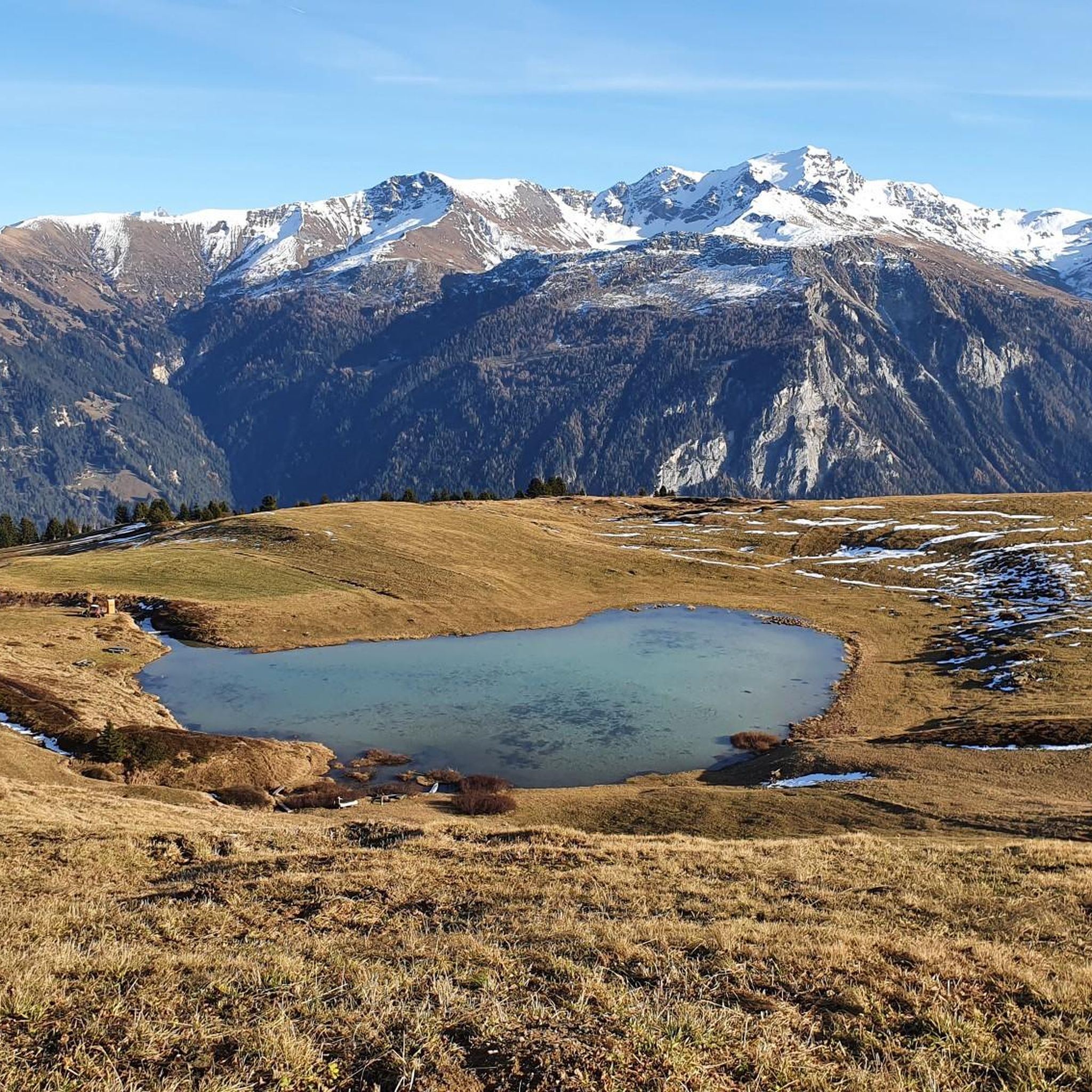
The panoramic view of the Graubünden mountains is simply incomparably beautiful.
6
0


The view from the Glaser Grat into the mountains and the two valleys, on the left into the Safiental and on the right into the Domleschg and Val Schons, is fantastic and overwhelming.
11
0
Driftwood ball reminds us of the destructive power. Reto Hänny, writer from Tschappina: Text excerpt from “Chiaroscuro” [p. 162 – 163] (1994): When the rumble rolled down the ravine? Can you remember the dull rumbling, the shaking under your feet; or do you only know all of this from your grandfather’s stories? [...] Pieces of land, hills, then the whole slope, begin to slide, to sag, slowly, barely visible at first, barely a tremor in the branches, then, if you look a moment later, suddenly more quickly, they begin to rise up, to fall over, alders and firs, wedging themselves together, are thrown together like Mikado sticks, stones, splintering wood, fences and broken trunks, whose bare roots protrude from the blue-black mush, clawing in vain for support in the rain-shaded air, dancing over the ditch and down on the mudslide [...]" Trees, rocks, houses, nothing on the Heinzenberg was safe from the raging mountain stream Nolla. The Nolla is a stream with extraordinary power, which shaped the landscape over a wide area and taught the inhabitants of Heinzenberg and Domleschg to fear. When the water level was high, the Nolla carried so much debris, such as rubble or driftwood, down from the Heinzenberg that it literally piled up to form a dam in front of the valley floor, until the force of the water swept these walls away again, triggering a strong flood wave.
11
1
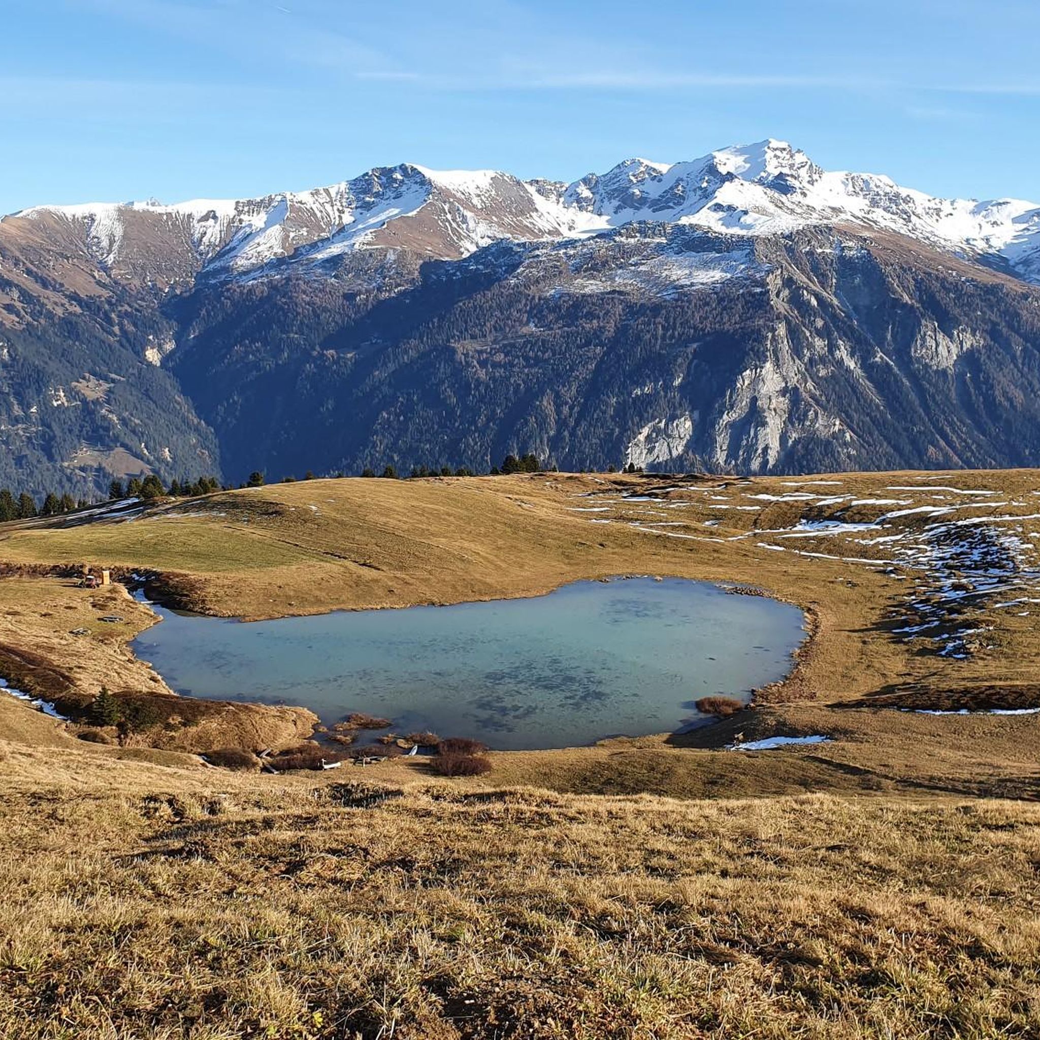
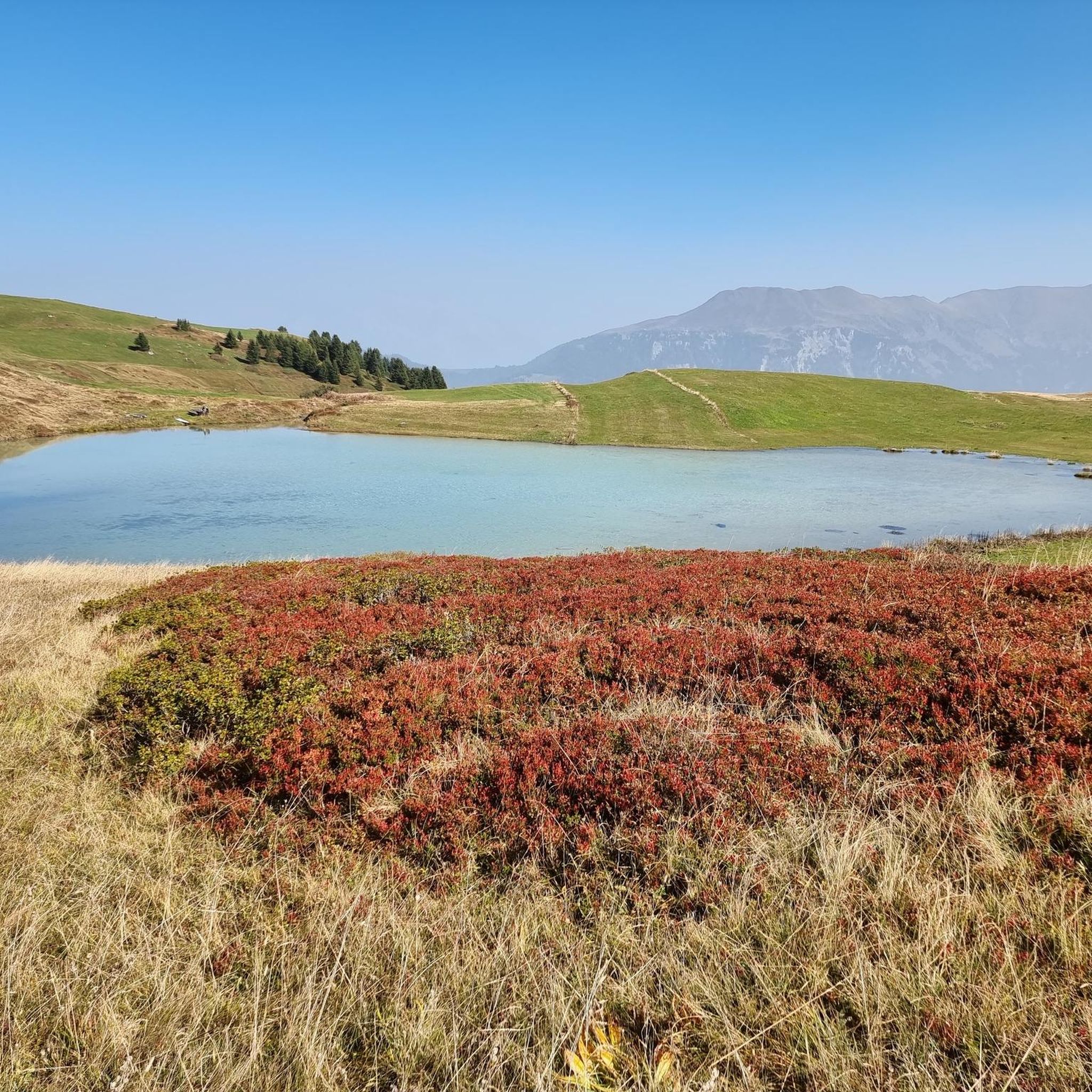
In 1910, the end of the Lüschersee was sealed on the Heinzenberg. The lake basin was drained. The end of the Lüschersee is, however, only part of the exciting story of the landslides on the Heinzenberg. Large-scale forest clearance and a destructive torrent caused landslides. Only a large-scale project with complex countermeasures and sometimes massive interventions in nature and the landscape provided a remedy. The adventure trail on the Heinzenberg tells all this and much more. At over a dozen information points, young and old are given a lot of exciting background information. The free hiking guide with lots of additional information is available free of charge at the Glaspass and Obergmeind access portals. There is a well-equipped barbecue area at the Lüschersee, and firewood is available.
11
0

komootモバイルアプリでインスピレーションを得よう


さらに探索
他の地域の最高のランニングトレイル & ルートを見てみましょう。
