エクリュウブのおすすめウォーキング&ハイキングルート
4.5
(304)
1,536
ハイカー
144
ハイキング
エクリュウブ周辺でのハイキングは、景色を満喫するのに最適な手段のひとつですが、適切なハイキングルートを見つけることは簡単ではありません。 エクリュウブ周辺の人気ハイキング&ウォーキングコースを参考にすれば、行きたいルートをすぐに見つけられます。
最終更新日: 10月 8, 2026
4.0
(3)
29
ハイカー
6.42km
01:38
20m
20m
初級者向けハイキング. あらゆるフィットネスレベルに適しています。 進みやすいルートです。あらゆるスキルレベルに適しています。
4.2
(5)
23
ハイカー
4.15km
01:04
20m
20m
初級者向けハイキング. あらゆるフィットネスレベルに適しています。 進みやすいルートです。あらゆるスキルレベルに適しています。

5.0
(1)
8
ハイカー
9.08km
02:27
120m
120m
中程度のハイキング. ある程度のフィットネスレベルが必要です。 進みやすいルートです。あらゆるスキルレベルに適しています。
4.0
(2)
14
ハイカー
7.20km
01:56
90m
90m
難しいハイキング. あらゆるフィットネスレベルに適しています。 安定して歩行できる技術、丈夫な靴、高標高地での登山経験が必要です。
7
ハイカー
8.04km
02:12
120m
120m
中程度のハイキング. ある程度のフィットネスレベルが必要です。 進みやすいルートです。あらゆるスキルレベルに適しています。
さらに多くのルートや他のユーザーのおすすめ情報を確認できます。
すでにアカウントをお持ちですか?
おすすめのツアーは他のkomootユーザーが実際に経験した何千ものアクティビティに基づいています。
無料アカウントで今日から始めよう
次の冒険が待っています。

コミュニティからのヒント

Beautiful view of the cathedral between the houses of the old town
0
0


The Ecrouves plateau is part of the Natura 2000 site (protected natural area) of the lawns of Toulois, identical to the Côte Barine and the Domgermain plateau. Located on the coasts of Toul, these dry meadows on limestone, on a hillside or plateau, were formerly used for sheep grazing. This extensive use has allowed many species to find refuge there: orchids, butterflies, lizards, amphibians, bats, some of which are protected in France and Europe.
1
0
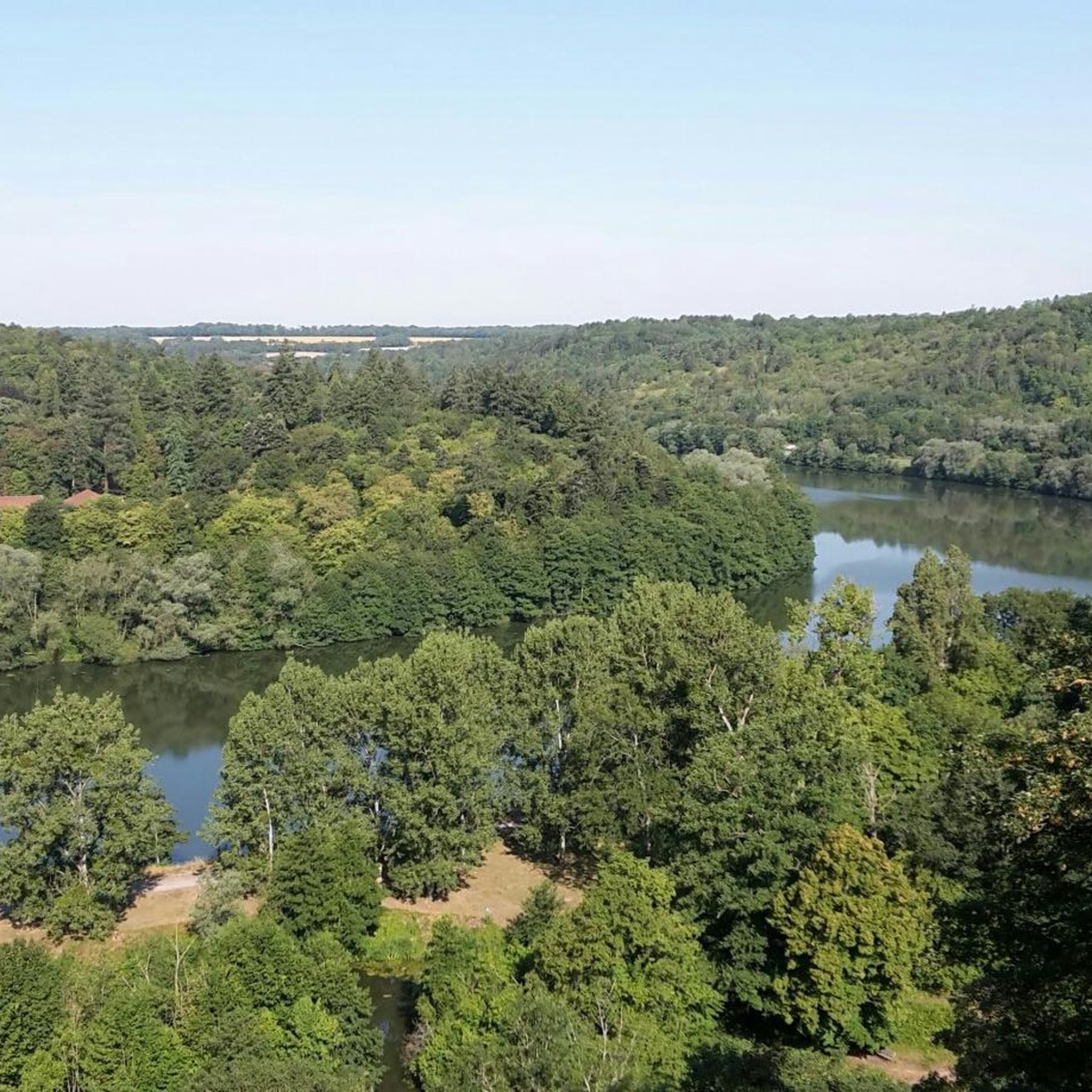
From there you have a beautiful view towards the south and south-east, for example over Toul. A sign indicates the direction to different landmarks.
3
0
One of Vauban's designs for the town of Toul consisted of demolishing the already existing fortifications and enlarging the surface of the town by inserting all the nearby suburbs within a single bastioned enclosure. This project was chosen by the king and work began on May 12, 1700, but, contrary to Vauban's wishes, inside the city and not outside. The work progressed only slowly, the city having lost all interest after the signing of the peace treaties. The ramparts and parapet were completed in 1722. In the first half of the 1740s, the canal locks were completed and the only complete peninsula was completed. But the work stopped there and the project was not completed. [https://sites-vauban.org/ressources/site-vauban/toul] An aerial view allows you to clearly see the contours of the fortifications, and you can also easily walk around them.
4
0
A little away, in a passage leading to the rear courtyard of two adjoining houses, here we find historic walls dating from the Gallo-Roman era. A sign indicates that these are the remains of a 4th century castrum.
4
0
The Apothecary's House is a historic building which owes its name to the pestle and mortar, symbols of the profession of pharmacist (ancestor of the apothecary), represented in the sculpted shell above the lintel of the mullioned window of the first floor.
2
0
エクリュウブでのの人気観光スポット

komootモバイルアプリでインスピレーションを得よう


さらに探索
他の地域の最高のハイキングを見てみましょう。
