ゲズ-エズ-アングルの絶景の山頂・トップ6
絶景を目指して登るのであれ、達成感のために登るのであれ、山頂を訪れることで、ゲズ-エズ-アングルの美しい自然をもっと満喫することができます。6
もの選択肢の中から、制覇する山頂を決めるのは簡単ではありません。スムーズに次の冒険で目指す山頂を選べるように、ゲズ-エズ-アングルの素晴らしい山頂をこのガイドにまとめました。
最終更新日: 9月 14, 2026
ピベスト峰
ハイライト • 山頂
翻訳者 Google •
役立つ情報 は

ベウート山頂からの眺め
ハイライト • 山頂
翻訳者 Google •
役立つ情報 は
今すぐサインアップして、こんな場所を発見しよう
最高のシングルトラック、ピーク、その他のエキサイティングなアウトドアスポットのおすすめを受け取ろう。
ピベスト山頂駅
ハイライト • 展望台
翻訳者 Google •
役立つ情報 は

ピック・ダリアン
ハイライト • 山頂
翻訳者 Google •
役立つ情報 は

ラ・クロワ・ブランシュ
ハイライト • 展望台
翻訳者 Google •
役立つ情報 は

無料でサインアップして、さらに多くの山を発見しましょう ゲズ-エズ-アングルでの。
すでにアカウントをお持ちですか?
無料アカウントで今日から始めよう
次の冒険が待っています。

コミュニティからのヒント

For your information, historically this was the arrival station for the cable car. It operated until the installation of the television and radio relay. After a storm, it's not uncommon for the relay to go into standby mode. TDF has a contract that runs from Monday to Friday. In case of a power outage, the weekend is reserved for reading or playing board games.
0
0


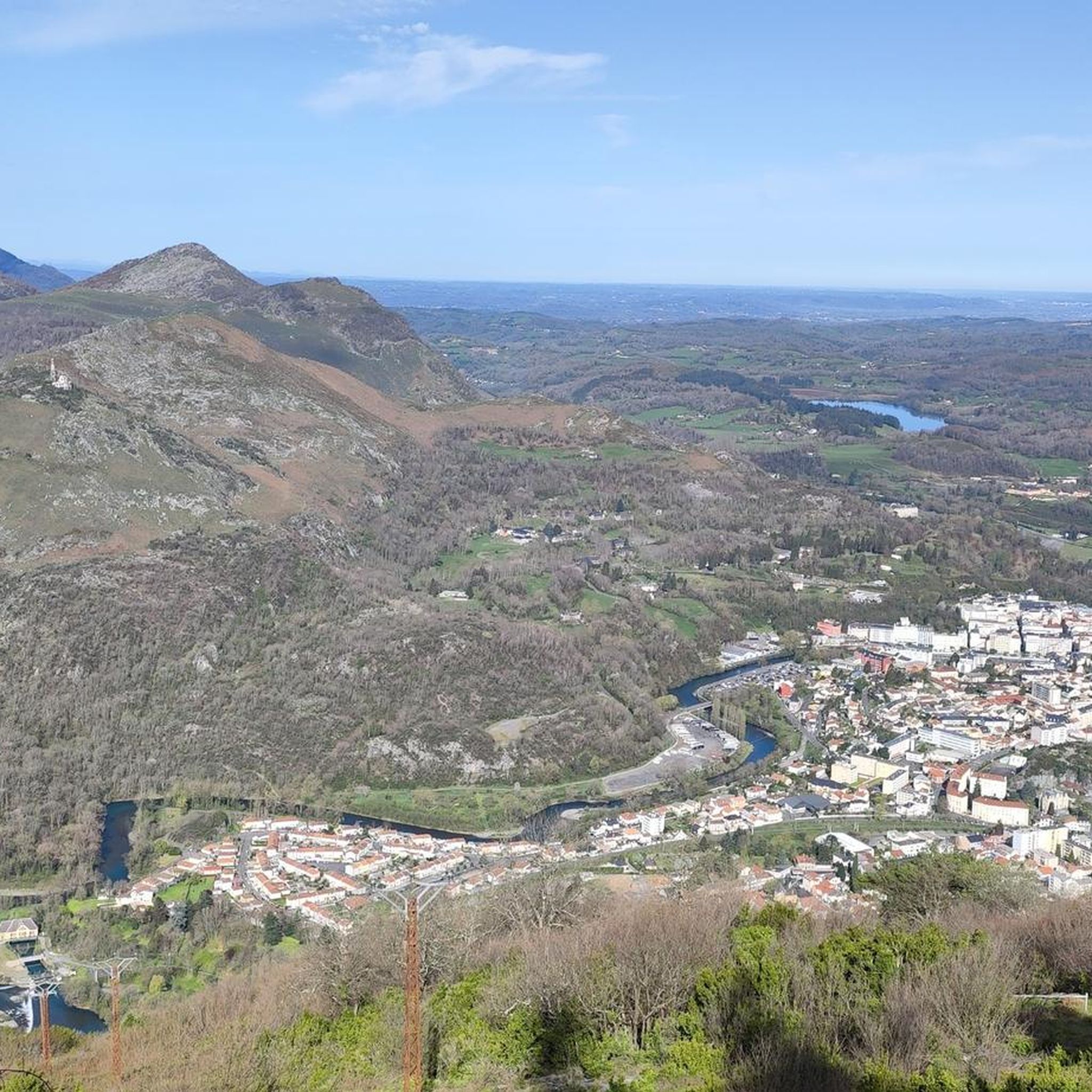
Magnificent view over the plain and the Gaves valley. On the other hand, it is not an old luxury hotel at the top, but the old cable car station. There is indeed a project to transform it into a shelter, but the funding is not forthcoming.
1
0

Magnificent viewpoint once at the top but DO NOT take the route that leaves from Parking Boissarie!! From the old cable car down to the river the hiking trail no longer exists. No choice but to go down but in the middle of brambles, nettles and a few slips. As the old hiking trail is no longer maintained, it has become dangerous. With the "good" surprise of coming face to face with hunters...
2
0
This is BY FAR the WORST route I have ever walked there. This so-called "walking path" is a 10 cm narrow dirt furrow that the cows use. What I have never had before is that a path is drawn that is qua non-existent. I was standing in front of a rocky cliff while descending and had two options 1. Call a helicopter 2. Somehow get down there without sustaining life-threatening injuries. I then slid almost 20 meters down the slope with my butt first. It should be mentioned in passing that the remaining “paths” are completely overgrown with nettles, small fir trees and other thorny plants. I cut myself EVERYTHING and can only hope I don't end up in the hospital with a tetanus infection. Please, please people, AVOID this route at ALL costs.
5
1

Do not stop at the station take the stairs on the right after the gate and climb to the top of the steps you will find a square platform and from there you will see Lourdes on your left and Argelès on your right at equal distance in Panoramic view
1
1

Nice view of Lourdes from the top!
0
2

Culminating at 792 meters above sea level, Béout is an easily accessible summit in the Batsurguère valley. It forms a pretty natural belvedere which offers a beautiful panorama of the city of Lourdes.
1
2
ゲズ-エズ-アングルでのの人気観光スポット

komootモバイルアプリでインスピレーションを得よう


さらに探索
これらのガイドでさらに素晴らしい頂上を見てみましょうゲズ-エズ-アングルでの:
