ピンドス山脈のおすすめ登山&山歩きルート
5.0
(14)
48
ハイカー
8
ハイキング
テッサリア-中央ギリシャの山々をもっと探索しませんか?このガイドでご紹介するのは、komootがピンドス山脈での登山&山歩きのコレクション全体を評価して選び抜いた、このエリアの人気ルートです。あなたに合ったルートを見つけるには、他のユーザーがアップロードした役立つ情報や写真を閲覧し、クリック操作で簡単に表示できる詳細なデータを参考にしましょう。ピンドス山脈での次の冒険にぴったりの登山&山歩きルートが見つかるはずです。
最終更新日: 11月 11, 2026
5.0
(3)
9
ハイカー
16.4km
07:21
1,200m
1,200m
難しい登山ルート. 標準以上のフィットネスレベルが必要です。 安定して歩行できる技術、丈夫な靴、高標高地での登山経験が必要です。
5.0
(3)
12
ハイカー
8.14km
02:32
310m
310m
中程度の登山ルート. ある程度のフィットネスレベルが必要です。 歩きやすい道です。

5.0
(1)
9
ハイカー
11.6km
03:44
470m
470m
中程度の登山ルート. ある程度のフィットネスレベルが必要です。 歩きやすい道です。
5
ハイカー
12.0km
03:55
500m
500m
難しい登山ルート. ある程度のフィットネスレベルが必要です。 安定して歩行できる技術、丈夫な靴、高標高地での登山経験が必要です。
4
ハイカー
9.84km
03:37
530m
530m
難しい登山ルート. ある程度のフィットネスレベルが必要です。 安定して歩行できる技術、丈夫な靴、高標高地での登山経験が必要です。
5.0
(4)
4
ハイカー
9.81km
03:11
380m
380m
中程度の登山ルート. ある程度のフィットネスレベルが必要です。 ほとんどが歩ける道です。足元への注意が必要です。
5.0
(2)
3
ハイカー
9.71km
03:35
590m
590m
中程度の登山ルート. ある程度のフィットネスレベルが必要です。 歩きやすい道です。
5.0
(1)
4
ハイカー
12.4km
04:05
530m
530m
難しい登山ルート. ある程度のフィットネスレベルが必要です。 安定して歩行できる技術、丈夫な靴、高標高地での登山経験が必要です。
おすすめのツアーは他のkomootユーザーが実際に経験した何千ものアクティビティに基づいています。
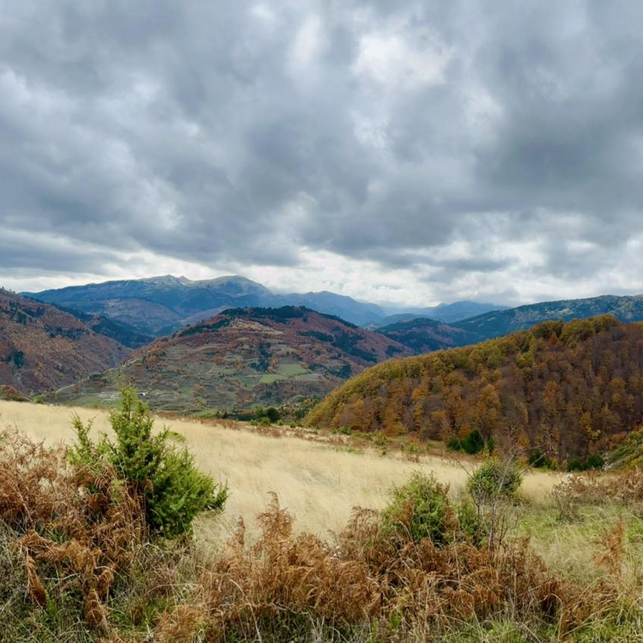
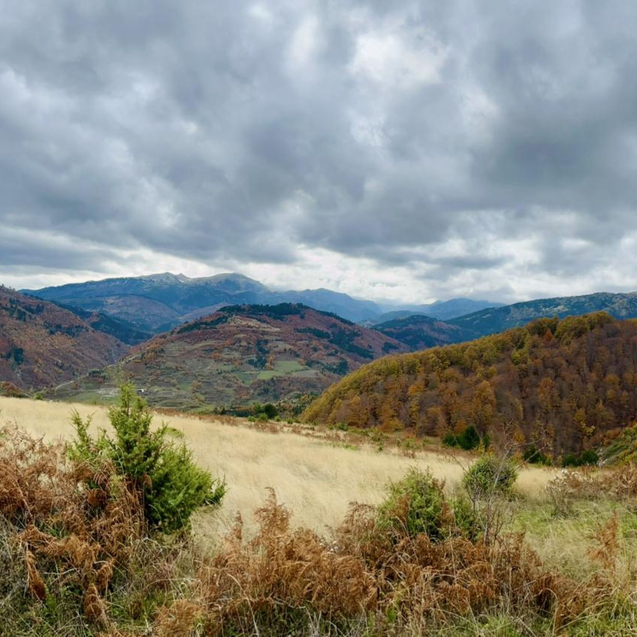
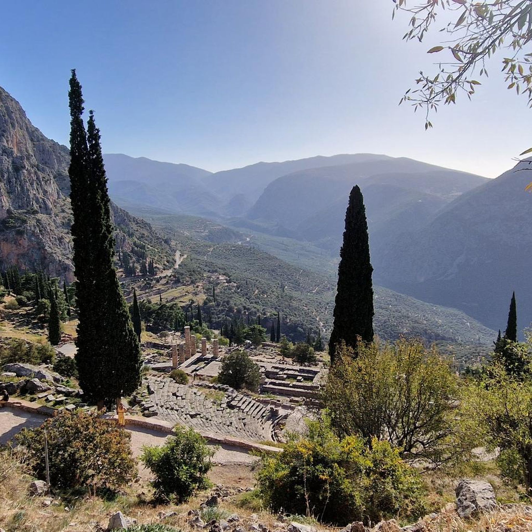
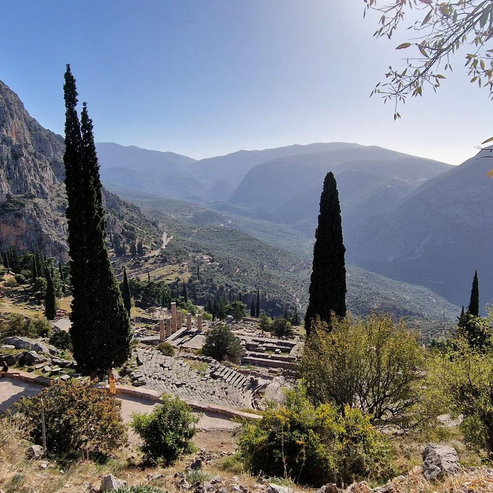


コミュニティからのヒント

川は存在しなかったので、ハイキングコースが時々ここに、時々あちらにあるため、左から右へ移動することができました。渡りは認識しませんでしたが、片側で道が続かなくなるところだけです...川床を一日中歩くのは大変です。緑のラグーンは素晴らしいです。
0
0
ココロス橋とプラキダ橋の見学は、大きな労力なしに、経験の浅い方でも可能です。交通量の少ない道路沿いのこの道では、ヴィコス渓谷の側面を眺めることができます。途中、ザゴリの村々の美しい景色が楽しめます。この短いハイキングは、両側にある駐車場から開始できます。
0
0


East of the Pindus Mountains, mighty sandstone cliffs rise to a height of approximately 500 meters. 24 monasteries were once built on their summits. Monks and nuns still live in six of them today. These monasteries are now UNESCO World Heritage sites and are often referred to as "floating monasteries" because they appear almost suspended in fog or low clouds.
1
0
East of the Pindus Mountains, mighty sandstone cliffs rise to a height of approximately 500 meters. 24 monasteries were once built on their summits. Monks and nuns still live in six of them today. These monasteries are now UNESCO World Heritage sites and are often referred to as "floating monasteries" because they appear almost suspended in fog or low clouds.
1
0
East of the Pindus Mountains, mighty sandstone cliffs rise to a height of approximately 500 meters. 24 monasteries were once built on their summits. Monks and nuns still live in six of them today. These monasteries are now UNESCO World Heritage sites and are often referred to as "floating monasteries" because they appear almost suspended in fog or low clouds.
1
0
East of the Pindus Mountains, mighty sandstone cliffs rise to a height of approximately 500 meters. 24 monasteries were once built on their summits. Monks and nuns still live in six of them today. These monasteries are now UNESCO World Heritage sites and are often referred to as "floating monasteries" because they appear almost suspended in fog or low clouds.
2
0
East of the Pindus Mountains, mighty sandstone cliffs rise to a height of approximately 500 meters. 24 monasteries were once built on their summits. Monks and nuns still live in six of them today. These monasteries are now UNESCO World Heritage sites and are often referred to as "floating monasteries" because they appear almost suspended in fog or low clouds.
3
0

komootモバイルアプリでインスピレーションを得よう


