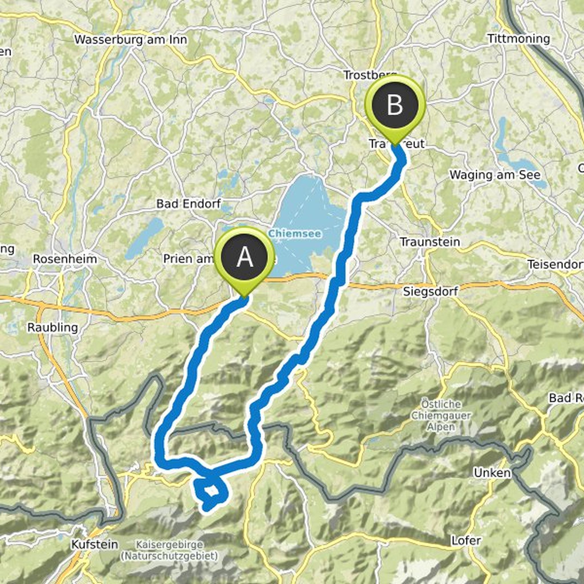
Timeline
Marcus ha pianificato un giro in bici
5 giorni fa
Durata
Distanza
Velocità
Salita
Discesa
Marcus ha pianificato un giro in bici
24 maggio 2026
Durata
Distanza
Velocità
Salita
Discesa
Marcus ha pianificato un giro in bici
2 maggio 2026
Durata
Distanza
Velocità
Salita
Discesa
Marcus ha pianificato un giro in bici
26 aprile 2026
Durata
Distanza
Velocità
Salita
Discesa
Marcus ha pianificato un giro in bici
26 agosto 2025
Durata
Distanza
Velocità
Salita
Discesa
Marcus ha pianificato un giro in bici
10 agosto 2025
Durata
Distanza
Velocità
Salita
Discesa
A Markus piace questo.
5 ottobre 2017
from Seegatterl to Reit im Winkl it is beautifully on a (gravel) bike path constantly slightly downhill. Since you can roll with little force really nice and fast.
From Reit im Winkl to Oberwössen superschöne road, although initially goes up but is not very tiring because paved. Then you have a very long
Tradotto da Google •
Marcus ha pianificato un giro in bici
4 luglio 2025
Durata
Distanza
Velocità
Salita
Discesa
27 maggio 2017
very strong ascent to Latschenwirt on more than 1 km in length. Although the road is paved highway but not really worth it
then it goes the forest path nature park Untersberg, although beautifully shady but also permanently still slowly high. And up to the ruin Plainburg you go steeply downhill
Info ruined
Tradotto da Google •
Marcus ha pianificato un giro in bici
22 giugno 2025
Durata
Distanza
Velocità
Salita
Discesa
Marcus ha pianificato un giro in bici
19 giugno 2025
Durata
Distanza
Velocità
Salita
Discesa
Marcus ha pianificato un giro in bici
23 agosto 2024
Durata
Distanza
Velocità
Salita
Discesa
Marcus ha pianificato un giro in bici
20 luglio 2024
Durata
Distanza
Velocità
Salita
Discesa
9 giugno 2019
Increase from Adlgaß to Frillensee on a good forest road with constant moderate slope
On the cross piece Frillensee-Eisernes Kreuz has partly a fantastic view, also this way goes constantly uphill well mobile
Tradotto da Google •
Marcus ha pianificato un giro in bici
19 giugno 2024
Durata
Distanza
Velocità
Salita
Discesa
Marcus ha pianificato un giro in Gravel
14 giugno 2019
Durata
Distanza
Velocità
Salita
Discesa
Marcus ha pianificato un giro in Gravel
11 giugno 2019
Durata
Distanza
Velocità
Salita
Discesa

28 agosto 2019
The way to the Innspitz before (~ 1.0 km) is impassable by bicycle. Even on foot, it is like a walk through the jungle. The way is hardly detectable. Attention: Officially NSG, i. the way to the delta is from 01.03. - 30.09. blocked. If at all then leave the bike at the front and walk.
Tradotto da Google •
15 luglio 2018
very nice path z.T. along a ravine behind Hohenaschau
beautiful way before Rettenschöss, paved winding road slightly downhill with great mountain views
Shortly before Kössen at Außerkapelle at the Ententeichen (after golf course) an ideal resting place, many benches nicely shaded, really quaint
Tradotto da Google •