Οι καλύτερες διαδρομές ποδηλασίας δρόμου Churwalden
4,5
(329)
11.924
Ποδηλάτες
76
Ποδηλασίες
Ψάχνετε διαδρομές ποδηλασίας δρόμου Churwalden; Τότε είστε στο σωστό μέρος. Εξετάσαμε ολόκληρη τη συλλογή ποδηλατικών διαδρομών μας Churwalden για να σας φέρουμε τις καλύτερες. Εξερευνήστε τις όλες παρακάτω.
Τελευταία ενημέρωση: 14 Σεπτεμβρίου 2026
4,5
(24)
456
Ποδηλάτες
46,3km
02:19
700m
700m
Μέτρια ποδηλασία δρόμου. Απαιτείται καλή φυσική κατάσταση. Κάποια τμήματα αυτής της διαδρομής μπορεί να είναι μη ασφαλτοστρωμένα και δύσκολα για οδήγηση.
4,7
(3)
209
Ποδηλάτες
38,0km
02:21
1.030m
1.030m
Δύσκολη ποδηλασία δρόμου. Απαιτείται πολύ καλή φυσική κατάσταση. Κυρίως καλά ασφαλτοστρωμένες επιφάνειες και εύκολο στην οδήγηση.

3,5
(2)
108
Ποδηλάτες
36,2km
02:19
1.050m
1.050m
Δύσκολη ποδηλασία δρόμου. Απαιτείται πολύ καλή φυσική κατάσταση. Κάποια τμήματα αυτής της διαδρομής μπορεί να είναι μη ασφαλτοστρωμένα και δύσκολα για οδήγηση.
4,7
(3)
118
Ποδηλάτες
27,0km
01:50
900m
900m
Δύσκολη ποδηλασία δρόμου. Απαιτείται πολύ καλή φυσική κατάσταση. Κάποια τμήματα αυτής της διαδρομής μπορεί να είναι μη ασφαλτοστρωμένα και δύσκολα για οδήγηση.
16
Ποδηλάτες
13,9km
00:52
380m
380m
Μέτρια ποδηλασία δρόμου. Απαιτείται καλή φυσική κατάσταση. Κάποια τμήματα αυτής της διαδρομής μπορεί να είναι μη ασφαλτοστρωμένα και δύσκολα για οδήγηση.
Πάρε πρόσβαση σε περισσότερες διαδρομές και προτάσεις από άλλους εξερευνητές.
Έχεις ήδη λογαριασμό;
Οι προτάσεις διαδρομών μας βασίζονται σε χιλιάδες πεζοπορίες, ποδηλασίες και τρεξίματα που ολοκληρώθηκαν από άλλους χρήστες στο komoot.
Ξεκίνα σήμερα με έναν δωρεάν λογαριασμό
Η επόμενη περιπέτειά σου σε περιμένει.
Δημοφιλή γύρω από Churwalden
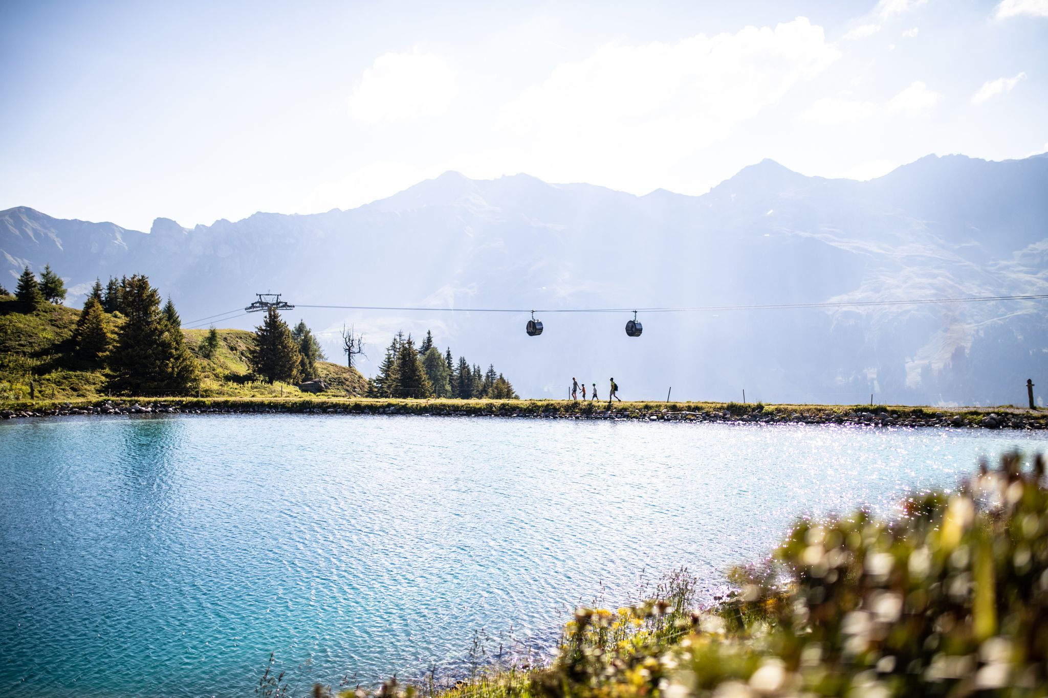
From the peaks to the cool waters – Coolcation Lenzerheide
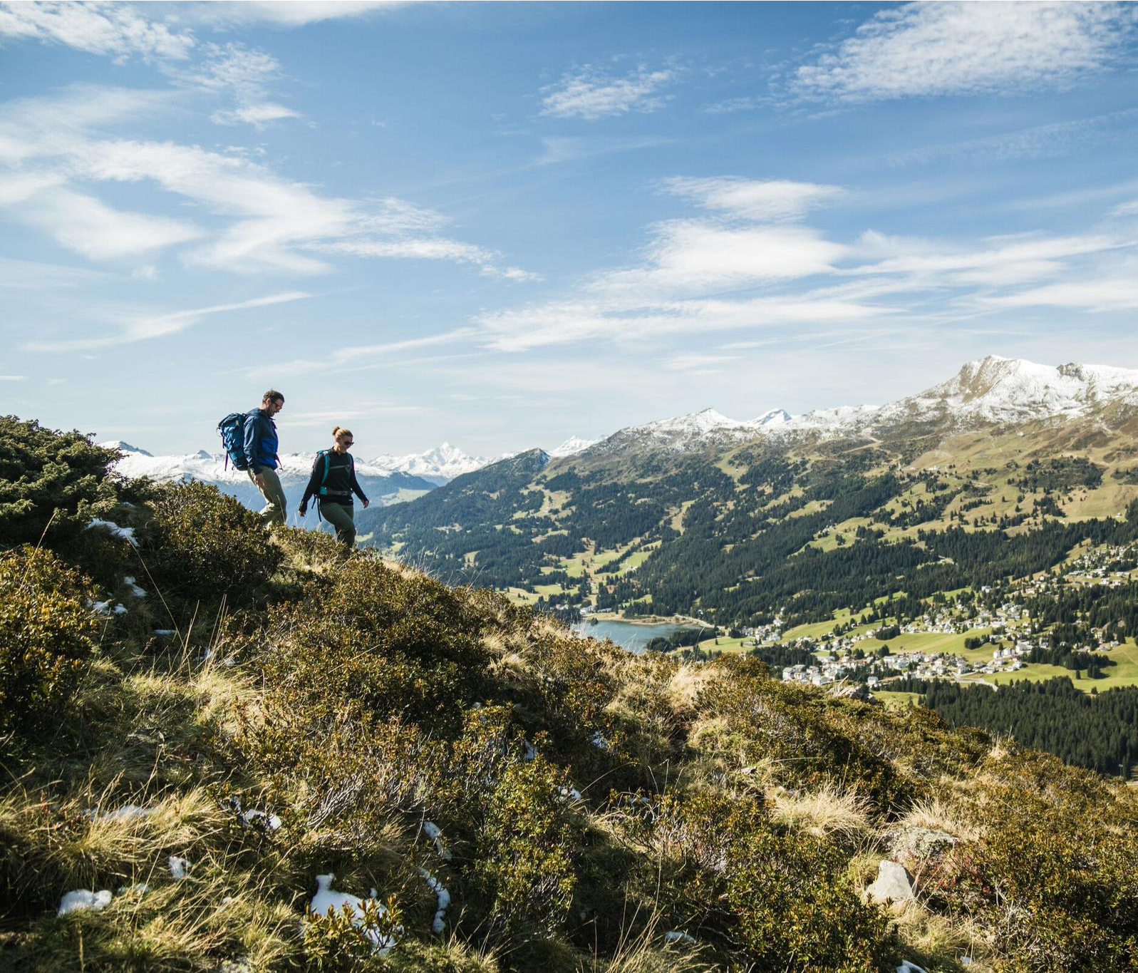
Diverse natural beauty – autumn hiking in Lenzerheide
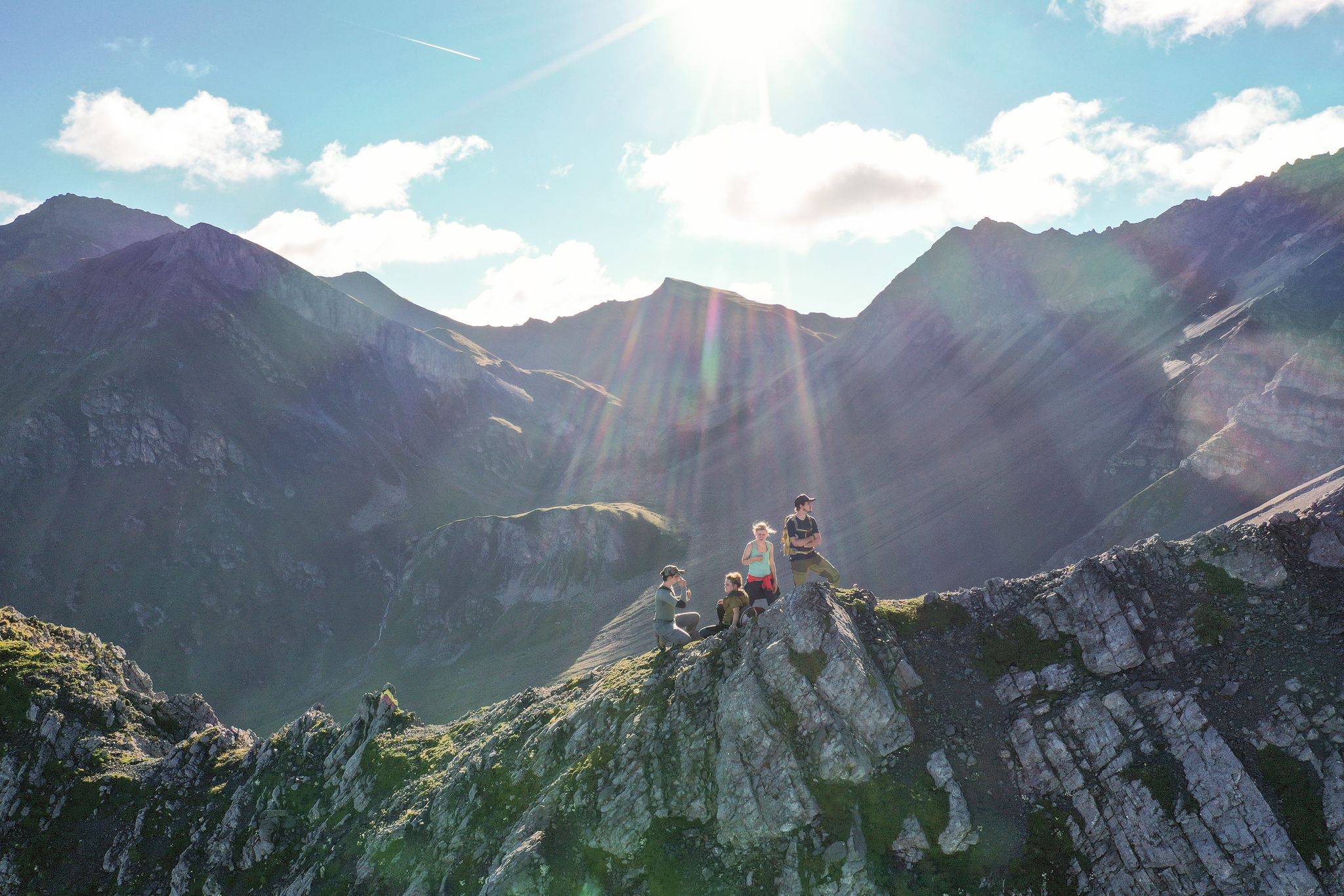
Satisfy your wanderlust in the Lenzerheide region
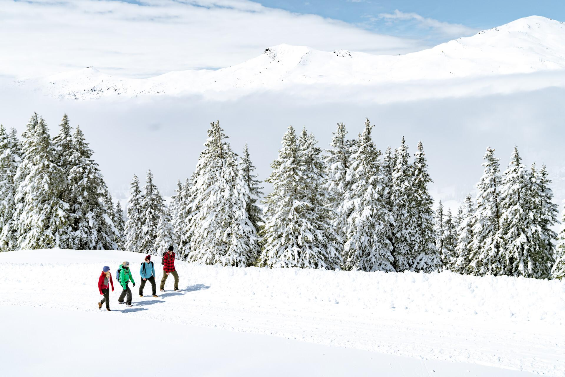
Immerse yourself in Lenzerheide's winter wonderland
Πεζοπορία Churwalden
MTB μονοπάτια Churwalden
Ποδηλατικές διαδρομές Churwalden
Gravel διαδρομές Churwalden
Διαδρομές τρεξίματος Churwalden

Ορειβασία Churwalden
Άλλες περιπέτειες Churwalden

Συμβουλές από την κοινότητα

Ζήστε την ευχαρίστηση του μπάνιου στο Churwalden, περιτριγυρισμένοι από τον εκπληκτικό ορεινό κόσμο του Graubünden. Η θερμαινόμενη εξωτερική πισίνα Churwalden προσφέρει σε μικρούς και μεγάλους ό,τι επιθυμεί η καρδιά τους.
0
0

easy to drive and scenically spectacular
0
0

A place of power in a special class
0
0

Arcas is arguably the most beautiful square in Chur. Surrounded by historic rows of houses and lined with several cafés and restaurants, it exudes a distinctly Mediterranean ambiance. Naturally, it also features a fountain where you can refresh yourself. The fountain at Arcas is made of gneiss stone from Andeer. It depicts the local legend of the Scalära spirits. Source: https://www.chur.graubuenden.ch/de/uebersicht-ausflugsziele/arcas
0
0

Ruinaulta Rhine Gorge The Ruinaulta, or Rhine Gorge, is a gorge of the Vorderrhein River, up to 400 meters deep and approximately 13 kilometers long, between Ilanz and the mouth of the Hinterrhein River near Reichenau in the canton of Graubünden in Switzerland. The Romansh name 'Ruinaulta' is composed of the two words ruina (scree slope, quarry) and aulta (high). The Ruinaulta was formed after the Flims Landslide almost 10,000 years ago. At that time, over 10 billion cubic meters of rock broke off between the Flimserstein and Piz Grisch, burying the Vorderrhein Valley between the present-day villages of Castrisch and Reichenau under a mass of debris several hundred meters thick. Because the Vorderrhein River could no longer drain away, a lake was dammed over a length of approximately 25 kilometers. Over time, the river cut deep into the landslide, and the resulting lake drained away completely. What remained was the Ruinaulta, with its steep limestone scree cliffs in impressive erosion formations. Text / Source: Wikipedia https://de.wikipedia.org/wiki/Ruinaulta
16
0
Confluence of the Vorderrhein and Hinterrhein, Reichenau Dominated by Reichenau Castle, the hamlet lies at the confluence of the Vorderrhein and Hinterrhein rivers, making it virtually the birthplace of the Rhine. It all began 10,000 years ago. Between the Flimserstein (a high plateau) and Piz Grisch, over 10,000 cubic meters of rock broke off and thundered down into the valley. Towards Reichenau, the Vorderrhein valley disappears under a gigantic mass of rubble. From there, the Rhine diligently ate its way through the rock, creating the spectacular Swiss "Grand Canyon" – the Ruinaulta. Text / Source: myswitzerland.com https://www.myswitzerland.com/de-ch/erlebnisse/route/vom-zusammenfluss-der-rheine-in-die-rheinschlucht/
16
0

A narrow but very scenic road descending from Lenzerheide to Thusis, with long, fast ramps and stunning views of the villages. Be especially careful on the final section of the descent, with its many tight, dark curves.
1
0
On the climb from Chur to Lenzerheide you reach and pass this very scenic race and monastery on the road with the mountains behind you
1
0
Οι πιο δημοφιλείς διαδρομές Churwalden
Τα πιο δημοφιλή αξιοθέατα Churwalden

Εμπνεύσου με την εφαρμογή komoot για κινητά


Ανακάλυψε περισσότερα
Περιηγήσου τα καλύτερα Διαδρομές δρόμου σε άλλες περιοχές.
