Τα 13 καλύτερα φυσικά μνημεία Pendé
Το τοπίο της περιοχής Pendé είναι ένα υπέροχο μέρος για εξερεύνηση — κάτι που μπορείτε να βιώσετε καλύτερα επισκεπτόμενοι ένα από τα 13
πανέμορφα φυσικά μνημεία Pendé. Για να βρείτε αυτό που σας ταιριάζει, δείτε όλες τις λεπτομέρειες που χρειάζεστε και σχεδιάστε καλύτερα την επόμενη υπαίθρια περιπέτειά σας!
Τελευταία ενημέρωση: 11 Σεπτεμβρίου 2026
Cap Hornu
Highlight • Παραλία
The name Cap Hornu comes from the Picard word “hornu”, which means “horned” …
Συμβουλή από

Falaises d'Ault
Highlight • Φυσικό μνημείο
Even if the city has lost its splendor, the site is impressive, because to the north, the plain of …
Μετάφραση από Google •
Συμβουλή από

Εγγράψου τώρα για να ανακαλύψεις μέρη σαν αυτό
Λάβε προτάσεις για τα καλύτερα single tracks, κορυφές και πολλά ακόμα συναρπαστικά υπαίθρια μέρη.
Baie de Somme
Highlight • Παραλία
Μετάφραση από Google •
Συμβουλή από

Vue sur la plage d'Onival et les falaises d'Ault
Highlight • Σημείο θέας
Μετάφραση από Google •
Συμβουλή από

Marais du Crotoy à La Bassée
Highlight • Φυσικό
Crotoy marsh at La Bassée / Somme Bay nature reserve / Marquenterre ornithological park / The Marquenterre dune massif, the mollières de l'Authie and the …
Μετάφραση από Google •
Συμβουλή από

Εγγράψου δωρεάν για να ανακαλύψεις ακόμα περισσότερα φυσικά μνημεία Pendé.
Έχεις ήδη λογαριασμό;
Ξεκίνα σήμερα με έναν δωρεάν λογαριασμό
Η επόμενη περιπέτειά σου σε περιμένει.

Συμβουλές από την κοινότητα

Here in Ault begin the chalk cliffs, which stretch all the way to Normandy and repeatedly appear as enormous cliffs.
4
0
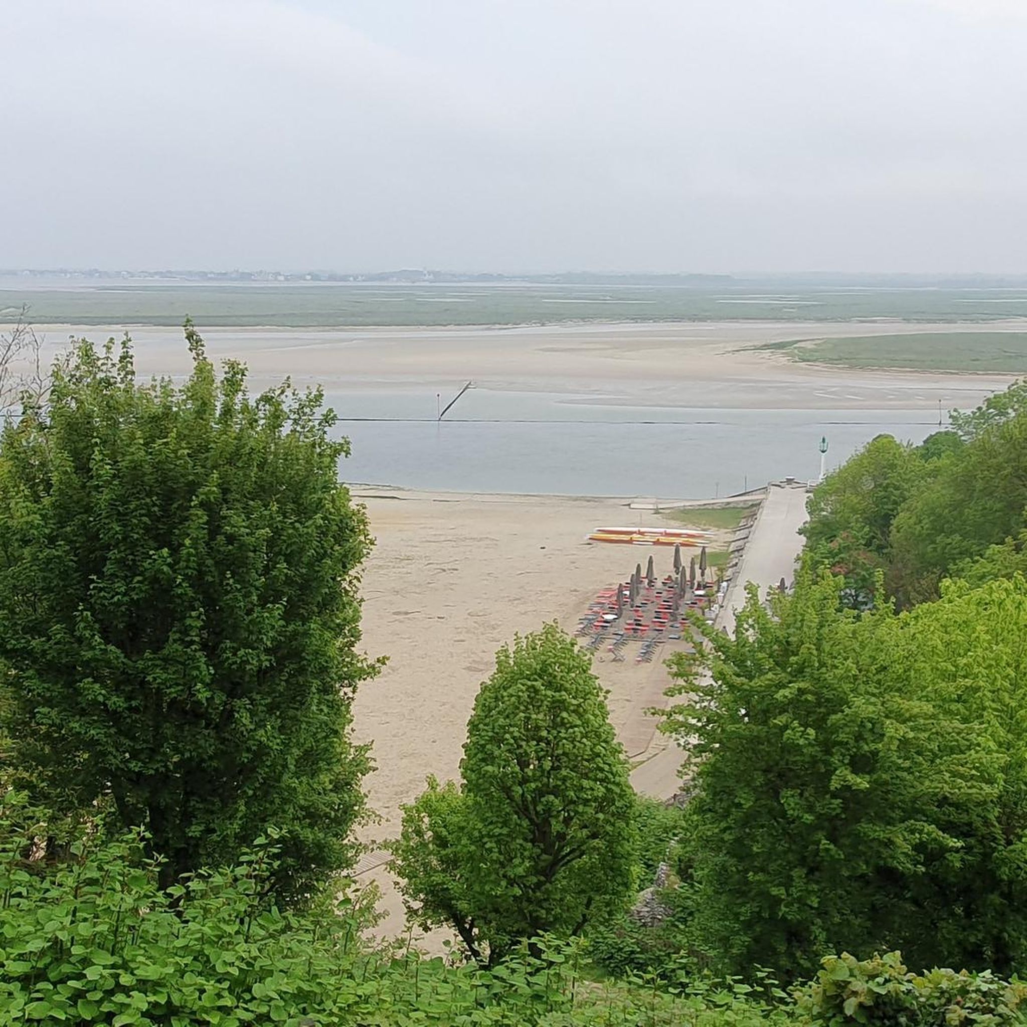
The bay of summer, on our trip it was low tide.
6
0

The cliffs around the beach of Ault are composed of chalk from the Upper Cretaceous, more precisely from the Turonian and Coniacian (around 83 million years ago to 90 million years ago). They are strewn with flint nodules which highlight the subhorizontal stratification planes (the formation of flint has already been discussed in Discovery of the geology of the cliffs of Étretat, presentation of an excursion from the beach of Tilleul (Antifer) to the Porte d'Amont (Étretat Nord)). The relative proportion of chalk and flint is around 90-95% chalk to 5-10% flint. Flint horizons are stratigraphic markers. On the cliffs of Ault, the regular flint band called Seven Sisters is recognizable and characterizes the boundary between the Middle Coniacian and the Upper Coniacian (around 87 million years ago). The boundary between the lower and middle Coniacian is marked by the Shoreham 2 marl level, which is more difficult to identify. These lithostratigraphic markings allow in particular the correlation of distant deposits, such as between the Normandy and Picardy coasts, or between the French and English coasts.
3
0

Great swimming and surfing beach. Small town with lots going on.
1
0

Great panorama, but also depressing how fleeting everything is.
0
0

The town of Ault is located in a valley (a small valley which was created in a setback of cliffs). The succession of white chalk cliffs continues on the Normandy coast.
3
0

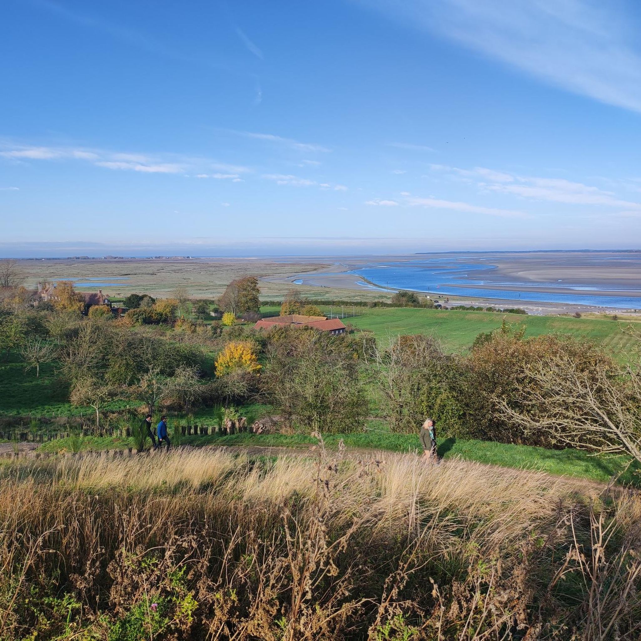
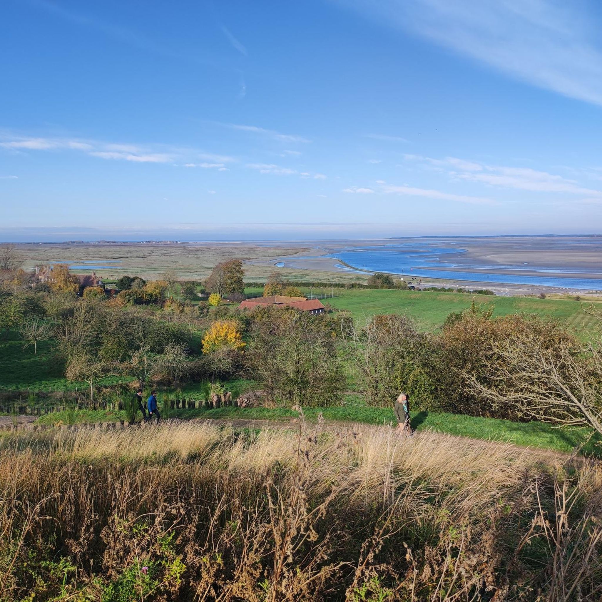
At Cape Hornu you can enjoy a panoramic view of the bay and its wildlife. You can follow the path along the coast, passing by the Chapelle des Marins, a small chapel dedicated to sailors who lost their lives at sea. You will also discover the charming town of Saint-Valery-sur-Somme, with this medieval street plan, its ancient ramparts and its colorful houses. It's a great way to experience the beauty and history of this area.
5
0

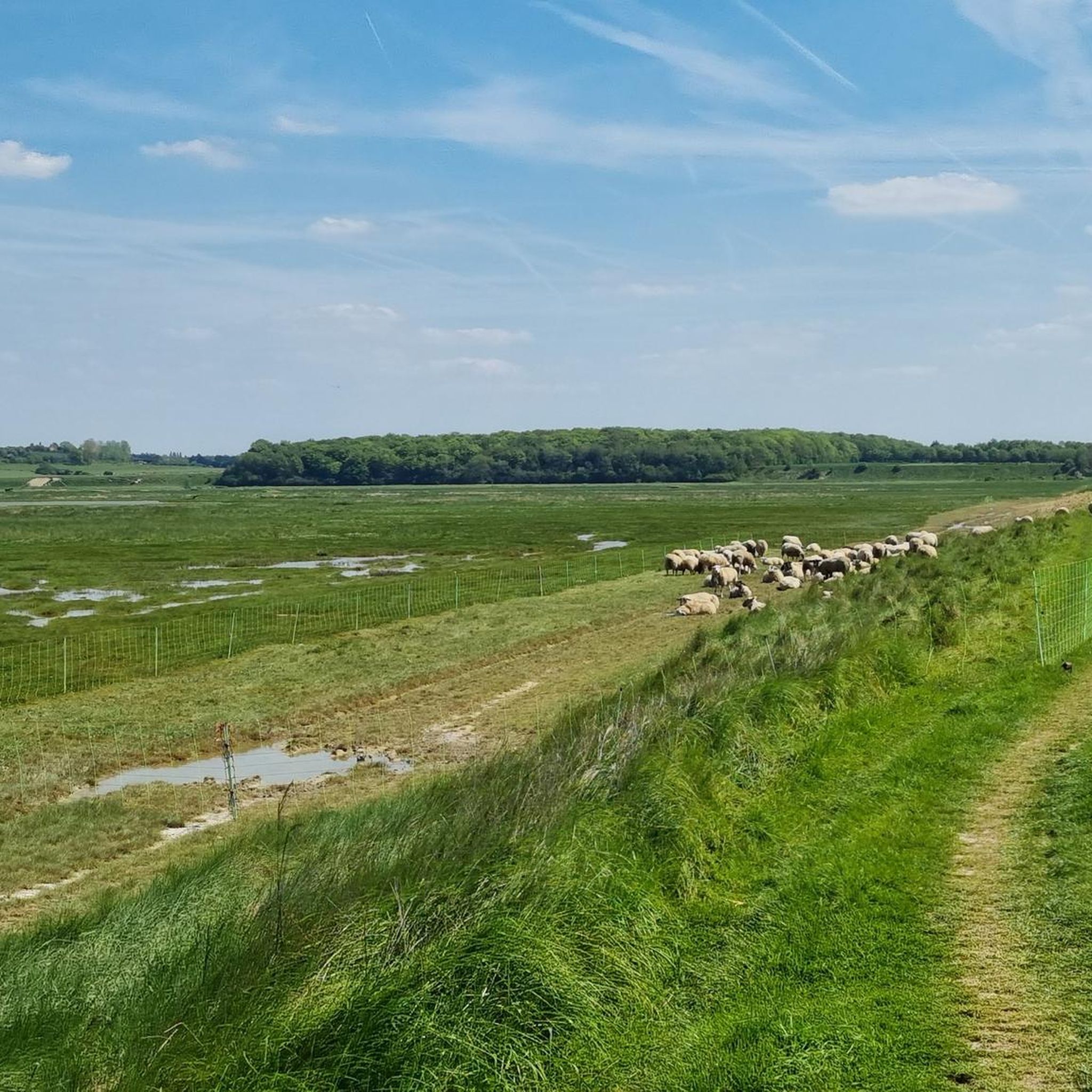
Crotoy marsh at La Bassée Crotoy marsh at La Bassée / Somme Bay nature reserve / Marquenterre ornithological park / The Marquenterre dune massif, the mollières de l'Authie and the bordering enclosures / The Crotoy marsh and the adjacent foreshore, Le Crotoy
0
0
Τα πιο δημοφιλή αξιοθέατα Pendé

Εμπνεύσου με την εφαρμογή komoot για κινητά


Ανακάλυψε περισσότερα
Επέκτεινε την αναζήτησή σου για τις καλύτερες σπηλιές βλέποντας αυτούς τους οδηγούς με τα κορυφαία Pendé:
