Τα 20 καλύτερα φυσικά μνημεία Ω-ντε-Φρανς
Το τοπίο της περιοχής Ω-ντε-Φρανς είναι ένα υπέροχο μέρος για εξερεύνηση — κάτι που μπορείτε να βιώσετε καλύτερα επισκεπτόμενοι ένα από τα 20
πανέμορφα φυσικά μνημεία Ω-ντε-Φρανς. Για να βρείτε αυτό που σας ταιριάζει, δείτε όλες τις λεπτομέρειες που χρειάζεστε και σχεδιάστε καλύτερα την επόμενη υπαίθρια περιπέτειά σας!
Τελευταία ενημέρωση: 30 Αυγούστου 2026
Cap Blanc-Nez
Highlight • Σημείο θέας
Μετάφραση από Google •
Συμβουλή από

Petit Blanc-Nez
Highlight • Σημείο θέας
Μετάφραση από Google •
Συμβουλή από

Εγγράψου τώρα για να ανακαλύψεις μέρη σαν αυτό
Λάβε προτάσεις για τα καλύτερα single tracks, κορυφές και πολλά ακόμα συναρπαστικά υπαίθρια μέρη.
Εγγραφή δωρεάν
Dunes de la Slack
Highlight (Segment) • Φυσικό μνημείο
Μετάφραση από Google •
Συμβουλή από

Cran d'Escalles
Highlight • Παραλία
Μετάφραση από Google •
Συμβουλή από
Réserve naturelle de la Dune Dewulf
Highlight • Φυσικό μνημείο
Μετάφραση από Google •
Συμβουλή από
Ault Chalk Cliffs
Highlight • Φυσικό μνημείο
Μετάφραση από Google •
Συμβουλή από
Phare du Cap Gris Nez
Highlight • Μνημείο
Μετάφραση από Google •
Συμβουλή από

Dover Patrol Monument at Cap Blanc-Nez
Highlight • Μνημείο
Μετάφραση από Google •
Συμβουλή από
Cap Hornu
Highlight • Παραλία
The name Cap Hornu comes from the Picard word “hornu”, which means “horned” …
Συμβουλή από
Falaise de la Cise
Highlight • Φυσικό μνημείο
Μετάφραση από Google •
Συμβουλή από

Εγγράψου δωρεάν για να ανακαλύψεις ακόμα περισσότερα φυσικά μνημεία γύρω από την Ω-ντε-Φρανς.
Εγγραφή δωρεάν
Έχεις ήδη λογαριασμό;
Ξεκίνα σήμερα με έναν δωρεάν λογαριασμό
Η επόμενη περιπέτειά σου σε περιμένει.
Σύνδεση ή εγγραφή
Δημοφιλή γύρω από Ω-ντε-Φρανς
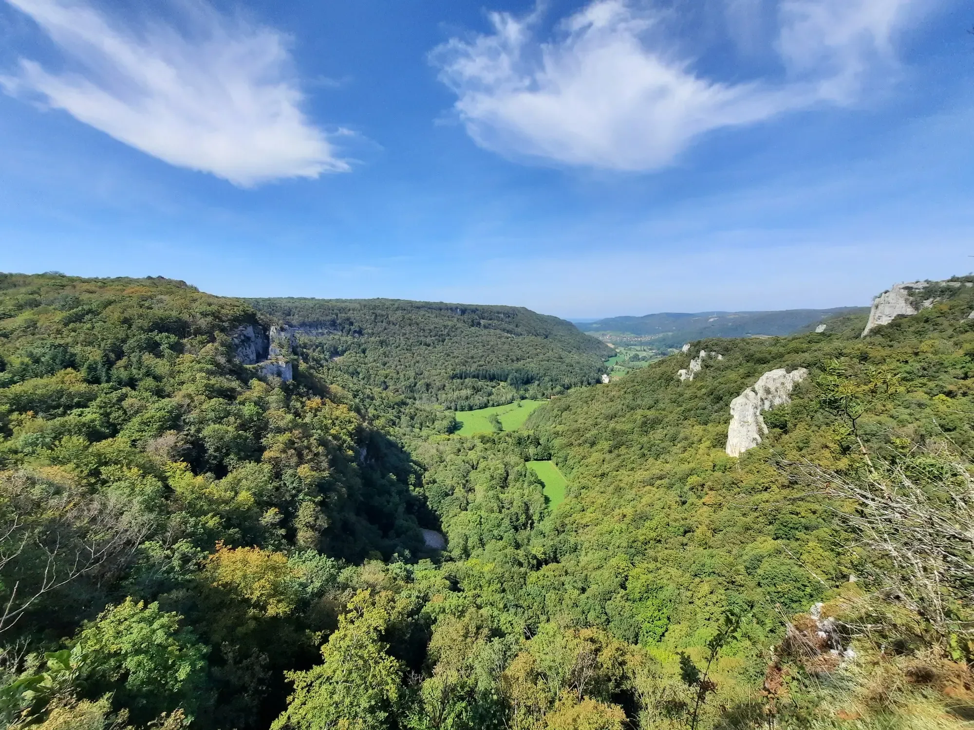
The Ardennes Trail (GR 14) – From Paris to the Belgian border
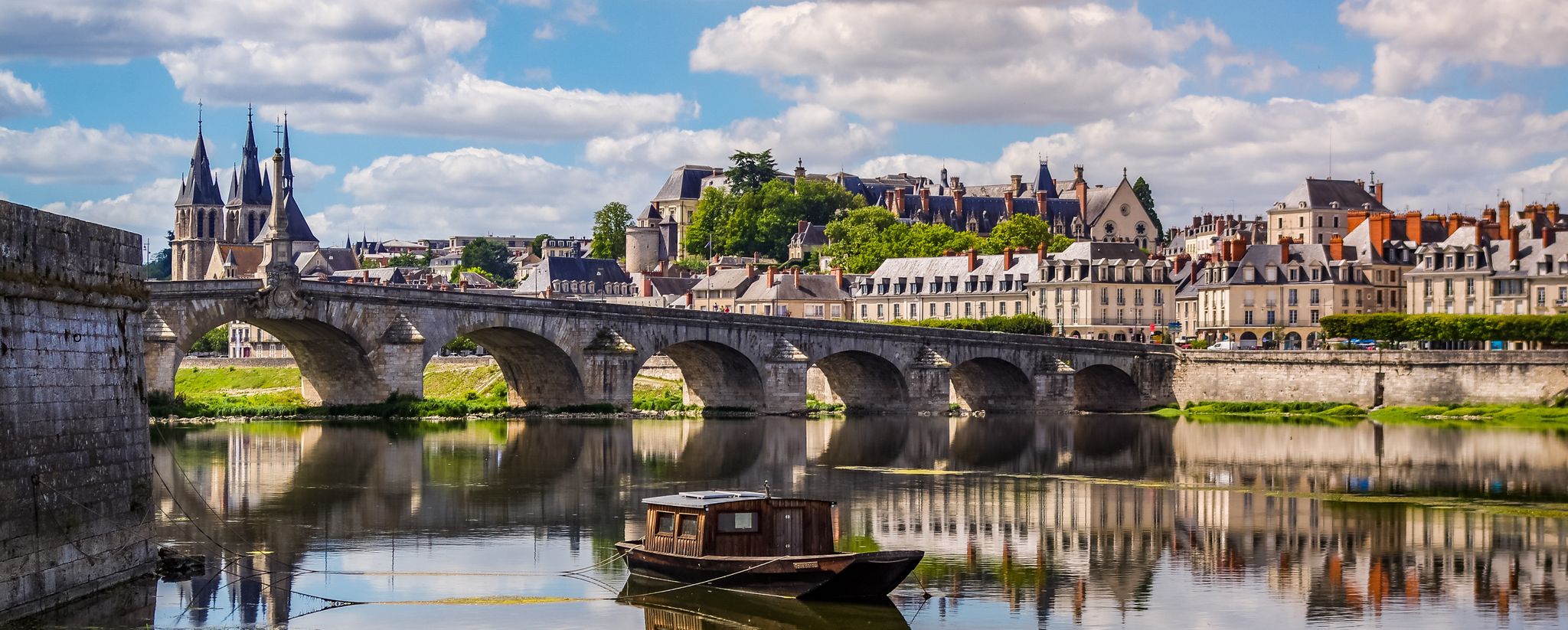
EuroVelo 3 – A cycling pilgrimage from Norway to France
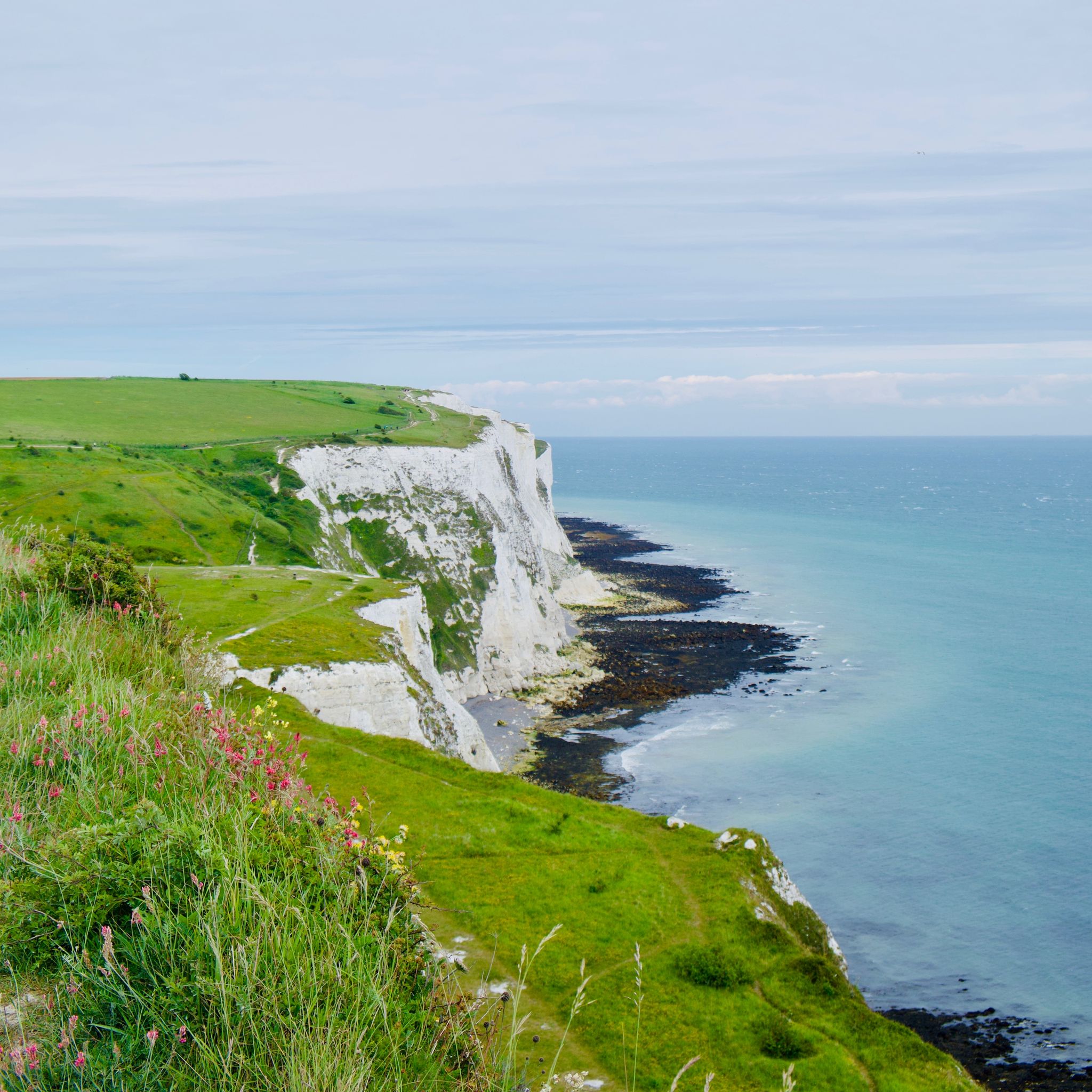
From Amsterdam to London - along the North Sea and across the water
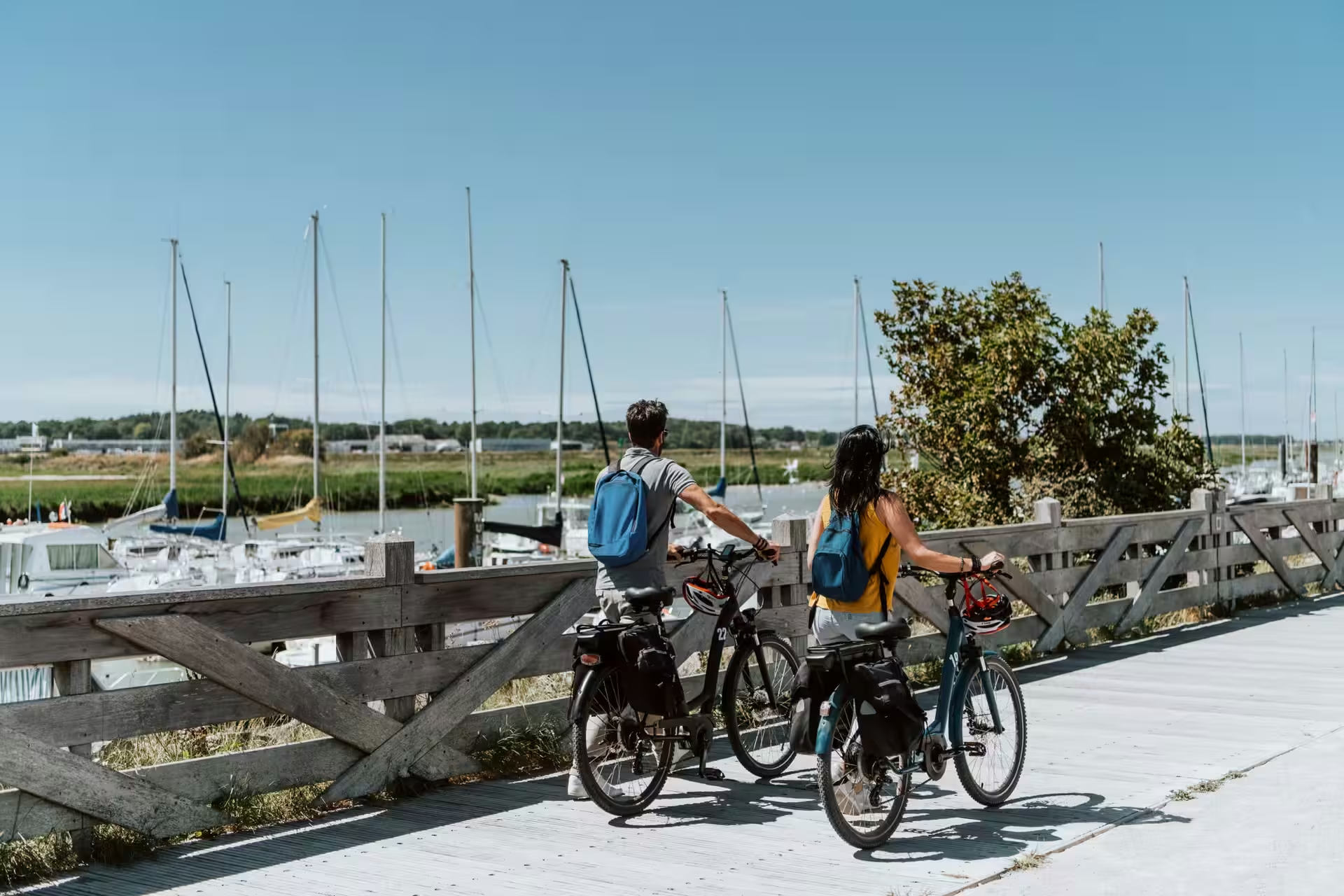
Routes in Hauts-de-France for cycling enthusiasts
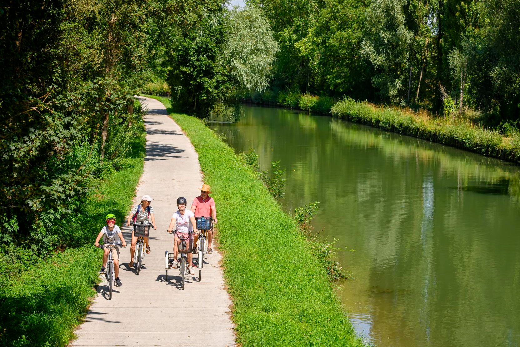
Cycling routes in Hauts-de-France for beginners and families
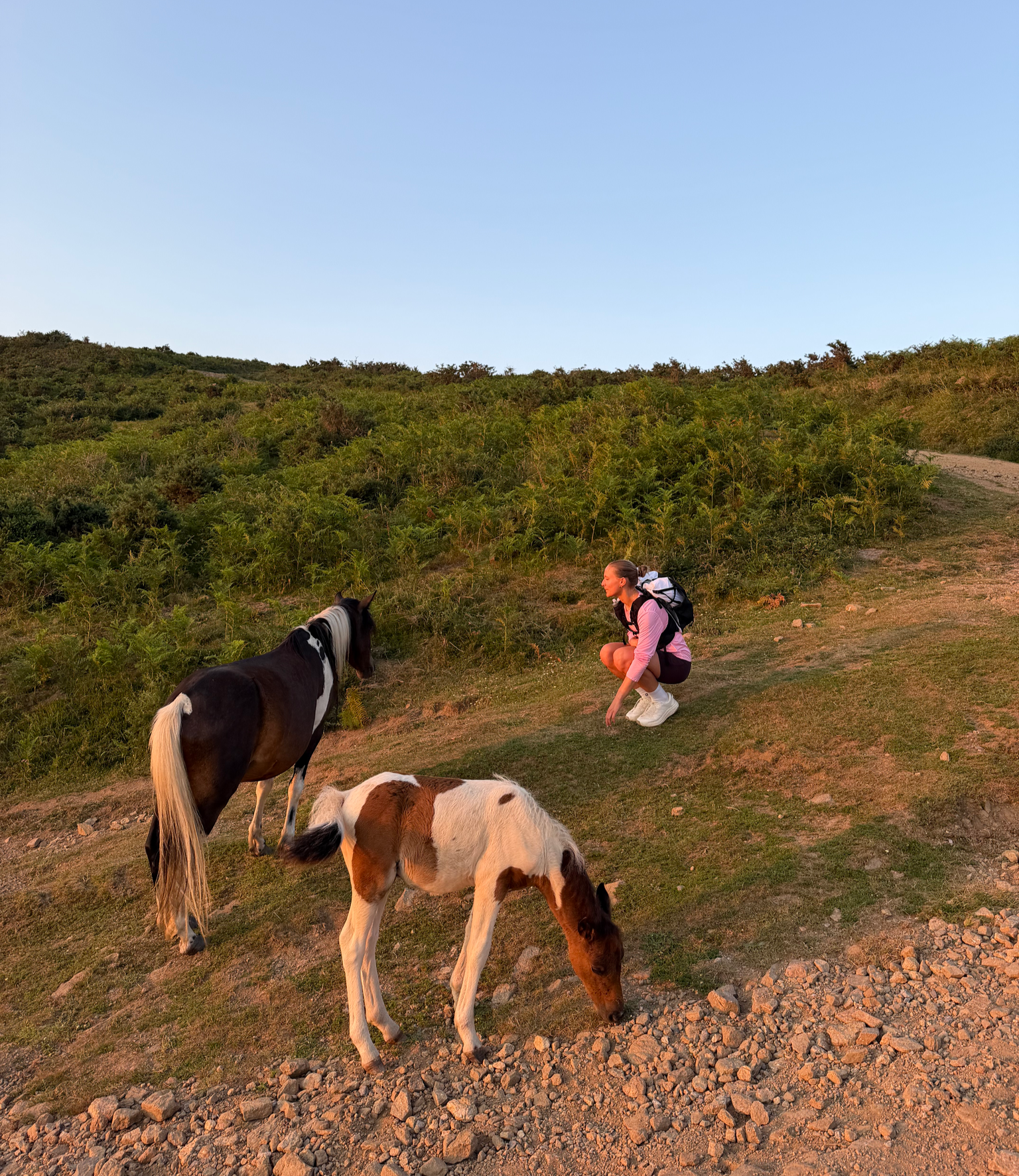
France’s Best Sunrise & Sunset Hikes
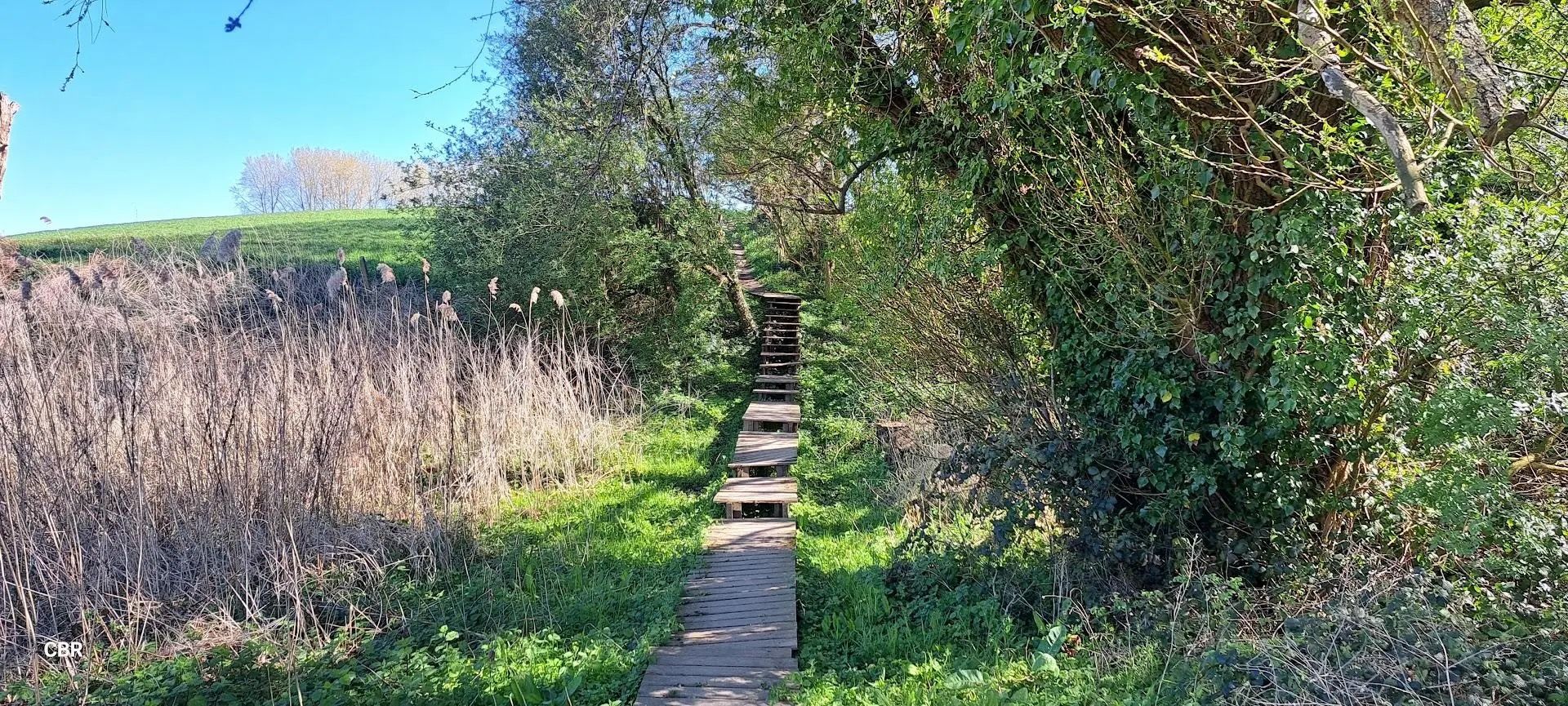
At the pace of the Westhoek - Streek-GR Heuvelland
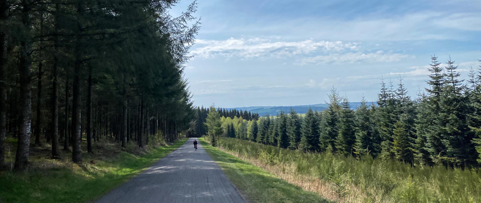
From Picardie to the Ardennes — Crossing Wallonia by Bike
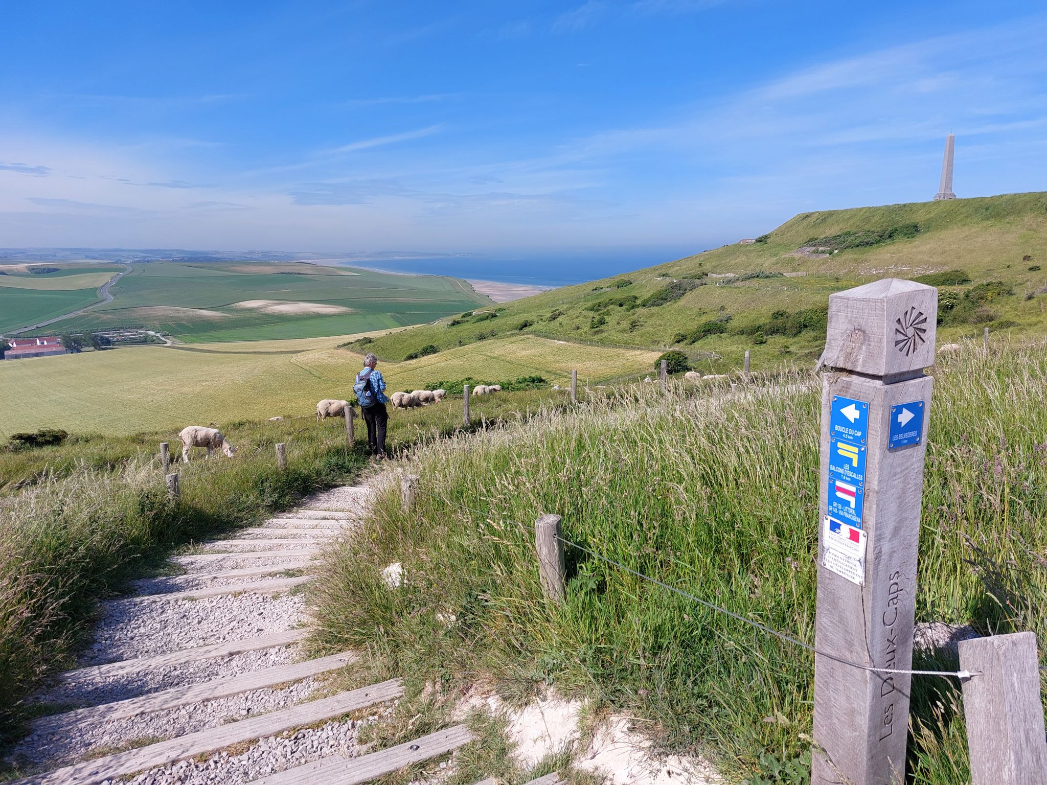
Via Francigena in the Pas-de-Calais – GR 145
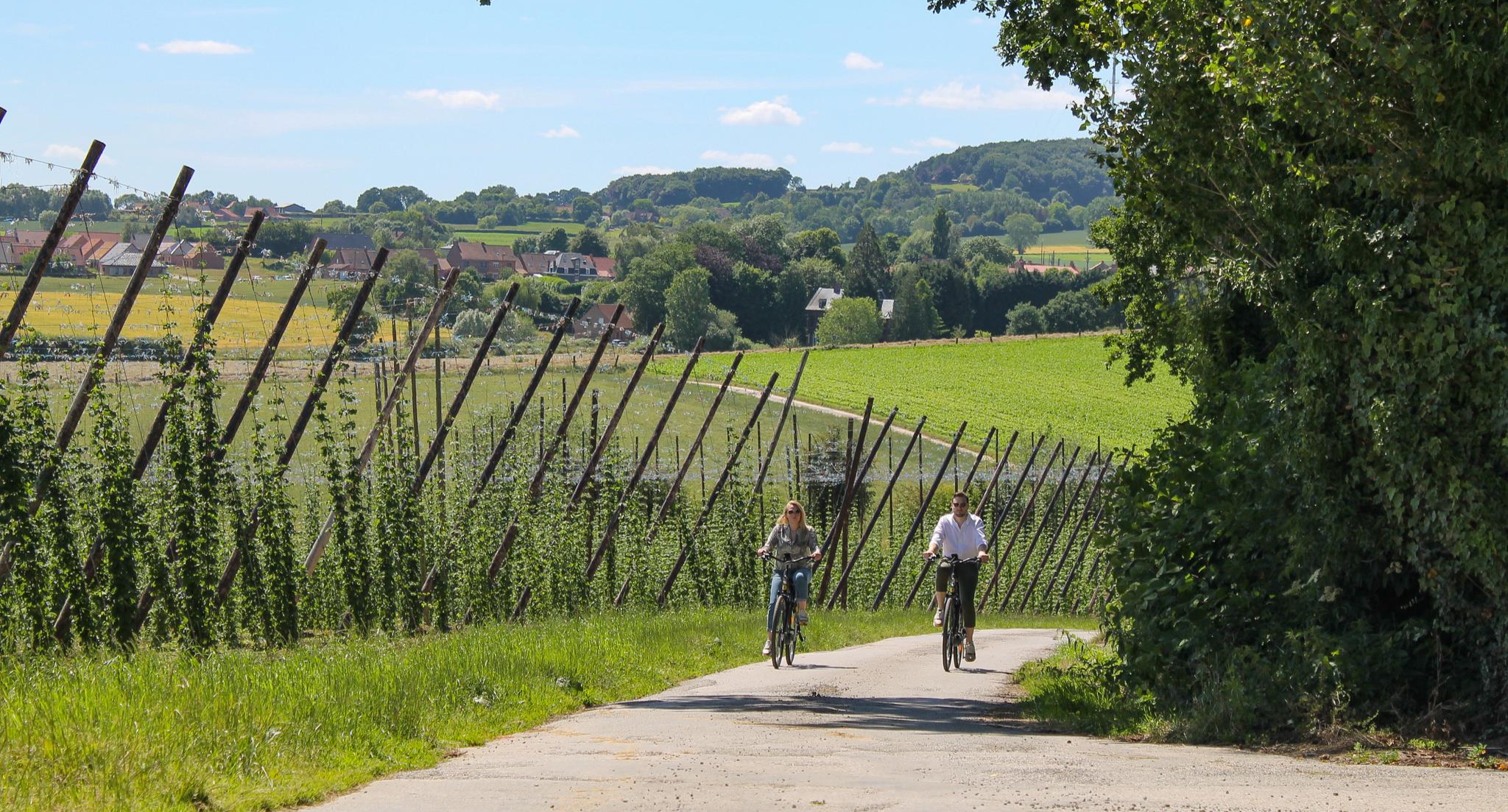
Flanders, Land of Cycling – Hills, Cobblestones and Estaminets
Άλλες περιπέτειες γύρω από την Ω-ντε-Φρανς


Συμβουλές από την κοινότητα

Unfortunately, the bike path here is no longer paved. Still, the scenery is beautiful.
0
0


The cliffs are made of chalk and are impressive to look at.
3
0


the rocks of the Gris-Nez are being loosened by rain and sea.
0
0

The cliffs around the beach of Ault are composed of chalk from the Upper Cretaceous, more precisely from the Turonian and Coniacian (around 83 million years ago to 90 million years ago). They are strewn with flint nodules which highlight the subhorizontal stratification planes (the formation of flint has already been discussed in Discovery of the geology of the cliffs of Étretat, presentation of an excursion from the beach of Tilleul (Antifer) to the Porte d'Amont (Étretat Nord)). The relative proportion of chalk and flint is around 90-95% chalk to 5-10% flint. Flint horizons are stratigraphic markers. On the cliffs of Ault, the regular flint band called Seven Sisters is recognizable and characterizes the boundary between the Middle Coniacian and the Upper Coniacian (around 87 million years ago). The boundary between the lower and middle Coniacian is marked by the Shoreham 2 marl level, which is more difficult to identify. These lithostratigraphic markings allow in particular the correlation of distant deposits, such as between the Normandy and Picardy coasts, or between the French and English coasts.
2
0
The cliffs around the beach of Ault are composed of chalk from the Upper Cretaceous, more precisely from the Turonian and Coniacian (around 83 million years ago to 90 million years ago). They are strewn with flint nodules which highlight the subhorizontal stratification planes (the formation of flint has already been discussed in Discovery of the geology of the cliffs of Étretat, presentation of an excursion from the beach of Tilleul (Antifer) to the Porte d'Amont (Étretat Nord)). The relative proportion of chalk and flint is around 90-95% chalk to 5-10% flint. Flint horizons are stratigraphic markers. On the cliffs of Ault, the regular flint band called Seven Sisters is recognizable and characterizes the boundary between the Middle Coniacian and the Upper Coniacian (around 87 million years ago). The boundary between the lower and middle Coniacian is marked by the Shoreham 2 marl level, which is more difficult to identify. These lithostratigraphic markings allow in particular the correlation of distant deposits, such as between the Normandy and Picardy coasts, or between the French and English coasts.
3
0

Not passable by bike.
1
0
Οι πιο δημοφιλείς διαδρομές γύρω από την Ω-ντε-Φρανς
Τα πιο δημοφιλή αξιοθέατα γύρω από την Ω-ντε-Φρανς

Εμπνεύσου με την εφαρμογή komoot για κινητά


Δεν βρήκες αυτό που ψάχνεις;
Βρες ακόμα πιο εντυπωσιακά φυσικά μνημεία γύρω από την Ω-ντε-Φρανς ελέγχοντας τους κορυφαίους Highlights περιοχή‑προς‑περιοχή:
Ανακάλυψε περισσότερα
Επέκτεινε την αναζήτησή σου για τις καλύτερες σπηλιές βλέποντας αυτούς τους οδηγούς με τα κορυφαία γύρω από την Ω-ντε-Φρανς:
