Οι καλύτερες διαδρομές και πεζοπορίες Sameice
4,6
(124)
434
Πεζοπόροι
9
Πεζοπορίες
Για να σας βοηθήσουμε να βρείτε τις καλύτερες διαδρομές πεζοπορίας Sameice, εξετάσαμε ολόκληρη τη συλλογή μονοπατιών και διαδρομών στην περιοχή. Δείτε όλες τις λεπτομέρειες κάθε διαδρομής παρακάτω — και εξερευνήστε περισσότερο τη φύση Sameice.
Τελευταία ενημέρωση: 11 Οκτωβρίου 2026
4,7
(82)
269
Πεζοπόροι
7,23km
02:26
360m
360m
Μέτρια πεζοπορία. Απαιτείται καλή φυσική κατάσταση. Εύκολα προσβάσιμα μονοπάτια. Κατάλληλο για όλα τα επίπεδα δεξιοτήτων.
4,8
(24)
73
Πεζοπόροι
13,7km
04:27
570m
590m
Μέτρια πεζοπορία. Απαιτείται καλή φυσική κατάσταση. Εύκολα προσβάσιμα μονοπάτια. Κατάλληλο για όλα τα επίπεδα δεξιοτήτων.

4,0
(2)
14
Πεζοπόροι
Εύκολη πεζοπορία. Κατάλληλο για όλα τα επίπεδα φυσικής κατάστασης. Εύκολα προσβάσιμα μονοπάτια. Κατάλληλο για όλα τα επίπεδα δεξιοτήτων.
5,0
(2)
19
Πεζοπόροι
3,72km
01:04
90m
90m
Εύκολη πεζοπορία. Κατάλληλο για όλα τα επίπεδα φυσικής κατάστασης. Εύκολα προσβάσιμα μονοπάτια. Κατάλληλο για όλα τα επίπεδα δεξιοτήτων.
4,8
(4)
16
Πεζοπόροι
9,40km
03:04
390m
390m
Μέτρια πεζοπορία. Απαιτείται καλή φυσική κατάσταση. Εύκολα προσβάσιμα μονοπάτια. Κατάλληλο για όλα τα επίπεδα δεξιοτήτων.
Πάρε πρόσβαση σε περισσότερες διαδρομές και προτάσεις από άλλους εξερευνητές.
Έχεις ήδη λογαριασμό;
Οι προτάσεις διαδρομών μας βασίζονται σε χιλιάδες πεζοπορίες, ποδηλασίες και τρεξίματα που ολοκληρώθηκαν από άλλους χρήστες στο komoot.
Ξεκίνα σήμερα με έναν δωρεάν λογαριασμό
Η επόμενη περιπέτειά σου σε περιμένει.
Συμβουλές από την κοινότητα

Κάναμε αυτή τη διαδρομή τον Ιούνιο του 2026. Είναι μια πολύ όμορφη, αλλά δεν μπορεί να περπατηθεί πλήρως καθώς ο δρόμος κατά μήκος της levada είναι κλειστός παραπέρα και επομένως πρέπει να γυρίσετε πίσω. Παρά αυτές τις πληροφορίες, ήταν ακόμα μια όμορφη, προκλητική πεζοπορία που βρήκα αξιόλογη.
0
0
Η διαδρομή παραμένει κλειστή. Την περπατήσαμε παρόλα αυτά και πραγματικά δεν είναι εύκολη. Σχεδόν πρέπει να σκαρφαλώσεις στην πλαγιά ενός βουνού. 😅 Και ήμασταν τυχεροί που δεν είχε βρέξει πολύ πριν, αλλιώς τα περάσματα των ποταμών δεν θα ήταν βατά. Κατά τα άλλα, από άποψη τοπίου, μια από τις ομορφότερες πεζοπορίες της ζωής μου. 😍 Συνιστάται σταθερότητα στα πόδια, λίγη δόση περιπέτειας και καλά παπούτσια πεζοπορίας.
0
0

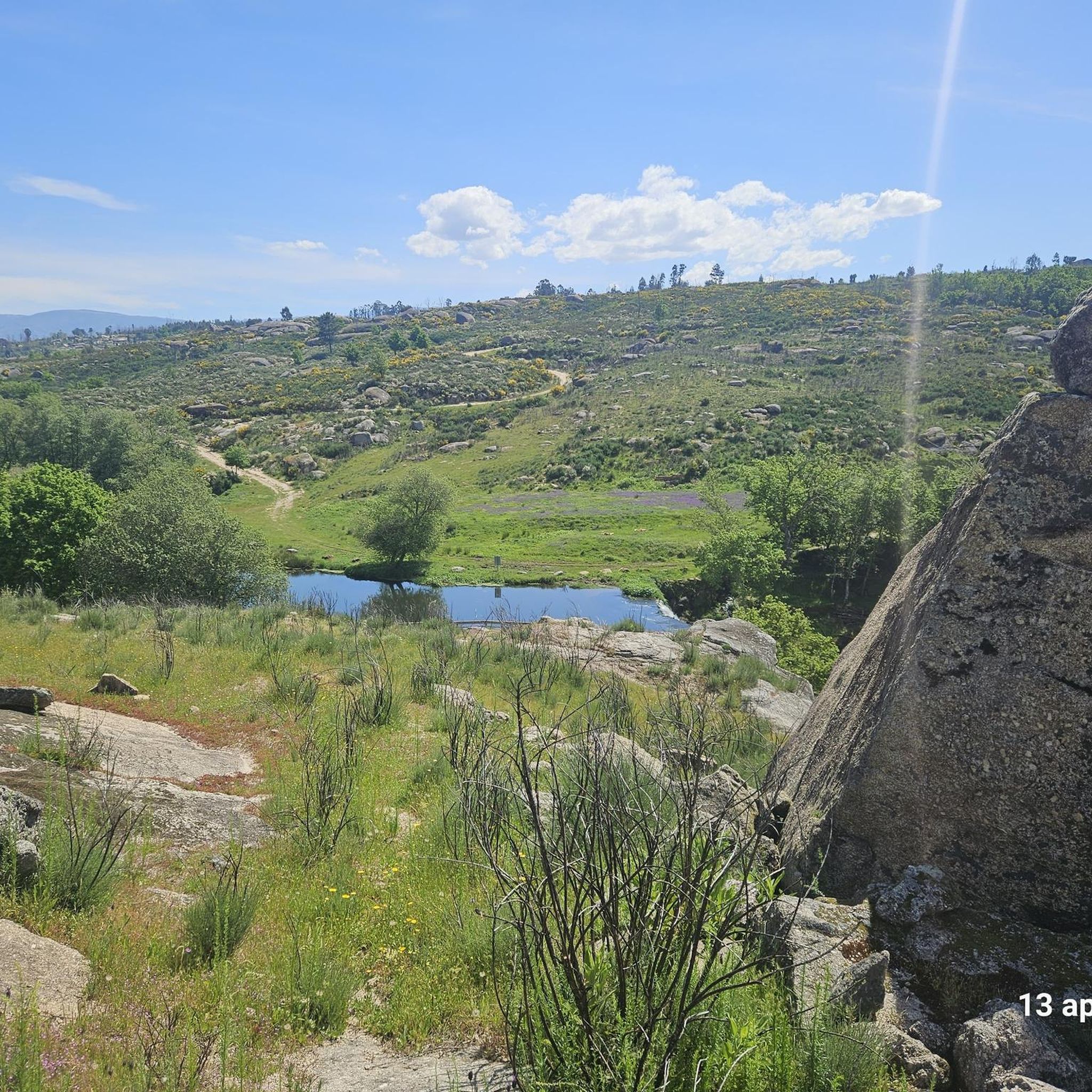
The Devil's Horns are a prominent granite rock formation with two horn-like points, located in the Serra da Estrela mountain range, near Lapa dos Dinheiros and Senhora do Desterro (not in Gerês, but in Seia, Portugal). They are the highlight of a famous circular hiking trail that follows a water channel and the Caniça stream, offering stunning landscapes, lagoons, and waterfalls. 👍🥾
0
0

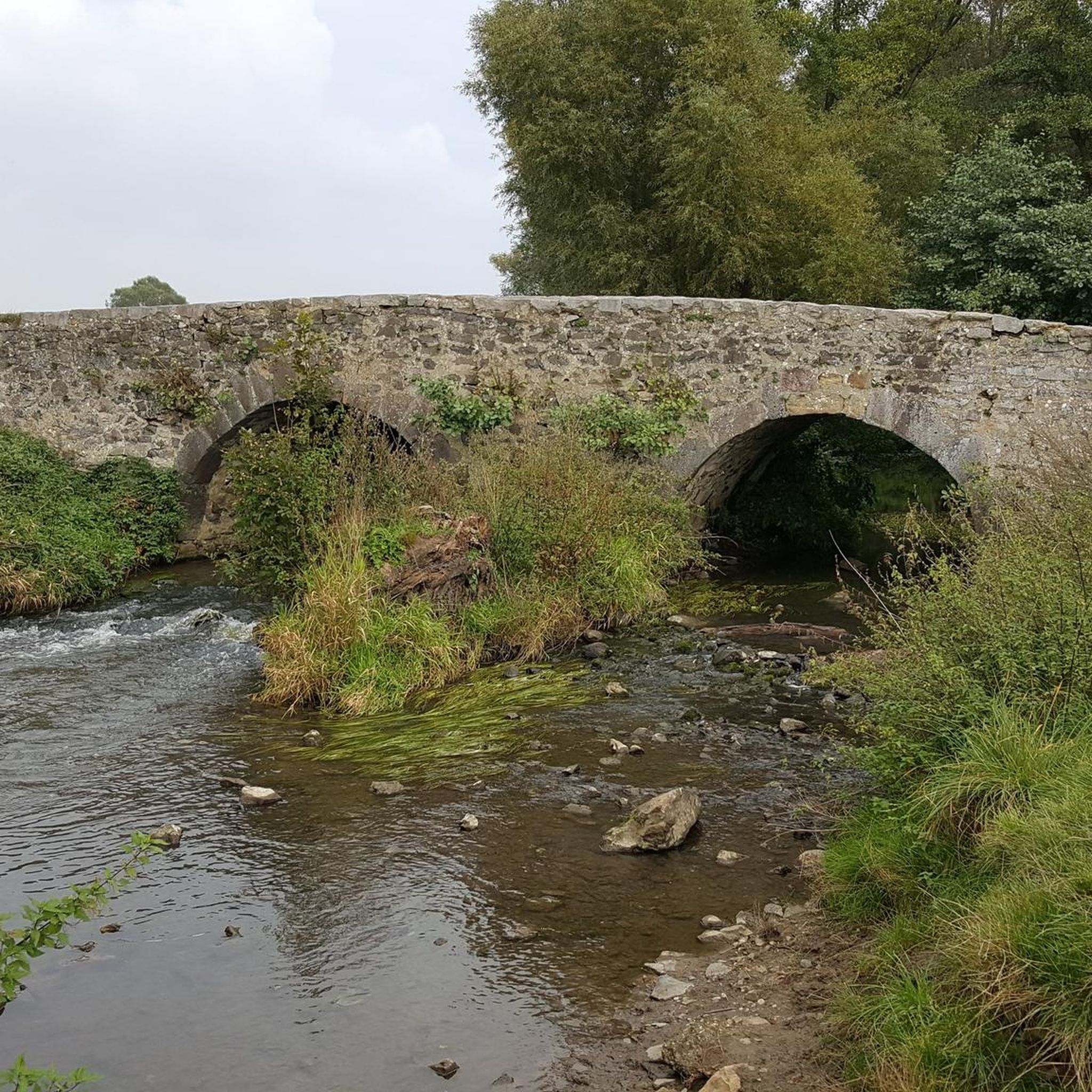
The Lapa dos Dinheiros river beach is in perfect harmony with nature. Located in the parish of Lapa dos Dinheiros, on the Caniça River, a right-bank tributary of the Alva River, this bathing area is nestled in a mountainous landscape dominated by the Lapa Souto (south of Lapa) and imposing granite outcrops. With clear water, very appealing for swimming, the beach boasts the award for accessible beach and has lifeguards and a bar available to visitors. The rugged terrain of the valley causes the river to form a succession of small waterfalls nearby. The Lapa Souto, in addition to its valuable collection of centuries-old chestnut trees, is also home to a high level of biodiversity. From the bridge, a pedestrian path leads to the Moura Hole and a viewpoint over the Caniça Waterfalls. The Buraco da Moura is a natural cave system created by the sliding and accumulation of large granite blocks, which formed a complex system of rooms and galleries. How to get there? Once in Seia, follow the EN231 to S. Romão. From there, continue uphill for about 5 km, toward Loriga/Lapa, until you find the sign for Lapa dos Dinheiros on the left. Once inside the town, simply follow the beach signs. Coordinates: 40º 23′ 07.0″ N / 7º 41′ 50.1″ W
1
0

The Sanctuary of Our Lady of Desterro stands on the banks of the Alva River as an authentic path of faith, marked by ten chapels built over more than two centuries, between 1650 and 1892. Near the village, nature itself left its masterpiece: a curious rock, sculpted by time, that resembles the head of an old woman watching over the mountains.
0
0
Caution: collapsed path (also aqueduct) 2.5 km from the start. Possible but dangerous passage.
4
0
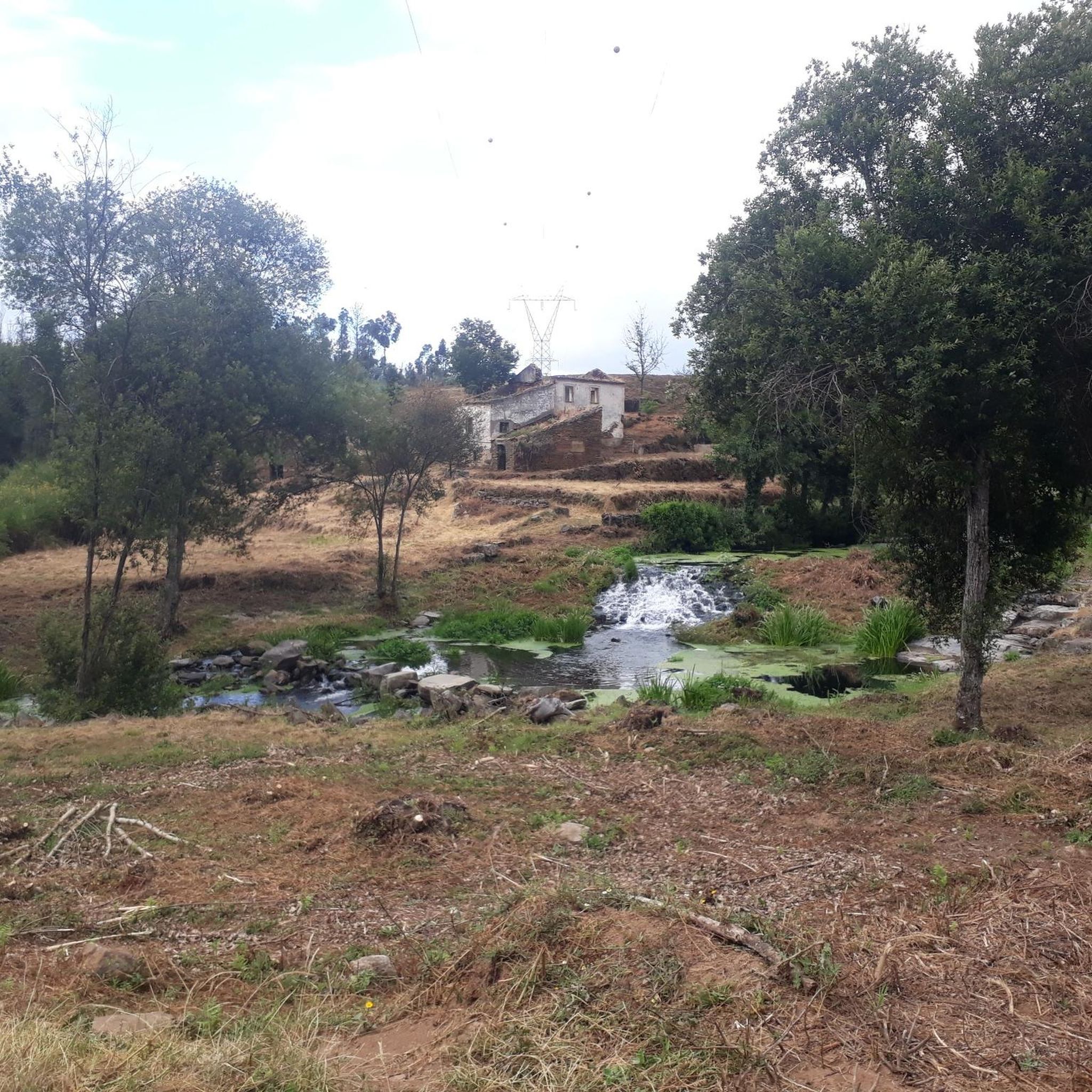
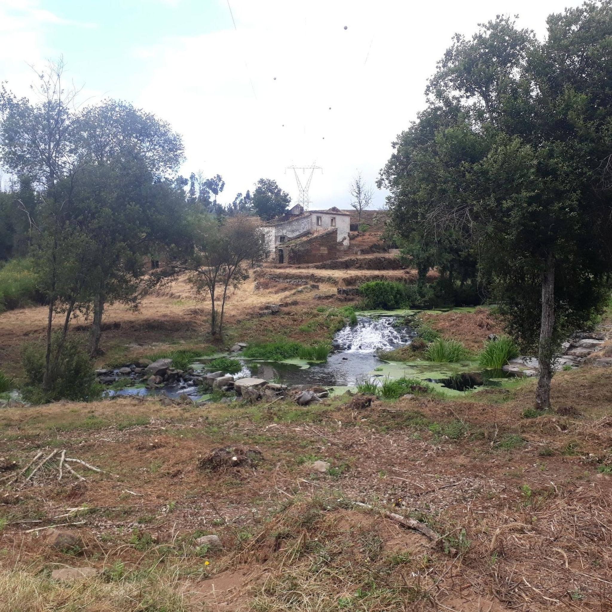
The enigmatic Devil's Horns rise from the granite, defying the sky with their six-metre height. Sculpted by erosion over the centuries, they earned this bold name thanks to their sharp and imposing profile. But the charm doesn't end there: around this unique formation, there are small crystal-clear lagoons and serene waterfalls, creating a true natural refuge that seems to have come straight out of a fantasy story.
3
1
Οι πιο δημοφιλείς διαδρομές Sameice
Τα πιο δημοφιλή αξιοθέατα Sameice

Εμπνεύσου με την εφαρμογή komoot για κινητά


Ανακάλυψε περισσότερα
Περιηγήσου τα καλύτερα Πεζοπορίες σε άλλες περιοχές.
