Οι καλύτερες διαδρομές ποδηλασίας δρόμου Reading
4,6
(68)
1.699
Ποδηλάτες
31
Ποδηλασίες
Θέλετε να κάνετε ποδηλασία δρόμου Reading; Εξετάσαμε όλες τις ποδηλατικές διαδρομές Reading για να βρούμε τις καλύτερες. Εξερευνήστε τις εδώ και βρείτε την τέλεια διαδρομή Reading.
Τελευταία ενημέρωση: 15 Οκτωβρίου 2026
3,0
(1)
12
Ποδηλάτες
38,9km
01:42
200m
200m
Μέτρια ποδηλασία δρόμου. Κάποια τμήματα αυτής της διαδρομής μπορεί να είναι μη ασφαλτοστρωμένα και δύσκολα για οδήγηση.
11
Ποδηλάτες
44,3km
01:52
220m
220m
Μέτρια ποδηλασία δρόμου. Κάποια τμήματα αυτής της διαδρομής μπορεί να είναι μη ασφαλτοστρωμένα και δύσκολα για οδήγηση.

4,0
(1)
7
Ποδηλάτες
117km
04:53
660m
660m
Embark on a substantial road cycling adventure that connects two distinct Massachusetts cycling experiences. This route takes you from the impressive John Greenleaf Whittier Bridge, offering beautiful views of the…
7
Ποδηλάτες
81,1km
03:23
400m
400m
Μέτρια ποδηλασία δρόμου. Απαιτείται καλή φυσική κατάσταση. Κυρίως καλά ασφαλτοστρωμένες επιφάνειες και εύκολο στην οδήγηση.
5,0
(3)
8
Ποδηλάτες
25,5km
01:07
110m
110m
Εύκολη ποδηλασία δρόμου. Κυρίως καλά ασφαλτοστρωμένες επιφάνειες και εύκολο στην οδήγηση.
Πάρε πρόσβαση σε περισσότερες διαδρομές και προτάσεις από άλλους εξερευνητές.
Έχεις ήδη λογαριασμό;
Οι προτάσεις διαδρομών μας βασίζονται σε χιλιάδες πεζοπορίες, ποδηλασίες και τρεξίματα που ολοκληρώθηκαν από άλλους χρήστες στο komoot.
Ξεκίνα σήμερα με έναν δωρεάν λογαριασμό
Η επόμενη περιπέτειά σου σε περιμένει.

Συμβουλές από την κοινότητα

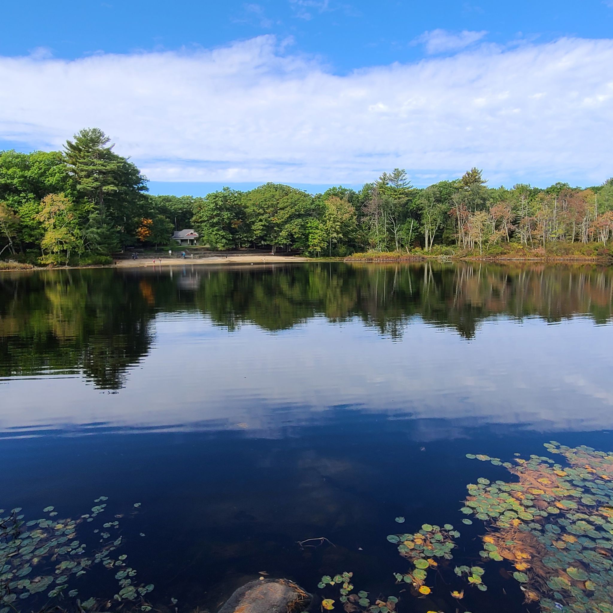
Lorraine Park Campground is the campground in Harold Parker State Park. The campground has tent camping spots, restrooms, and potable water. It is advisable to make a reservation in advance.
0
0

One of its most famous features is a "swing span" that can actually open up to let tall boats pass through. What's even cooler is that this swing span is still operated by hand! It's one of the oldest movable bridges in Massachusetts that still works this way.
0
0

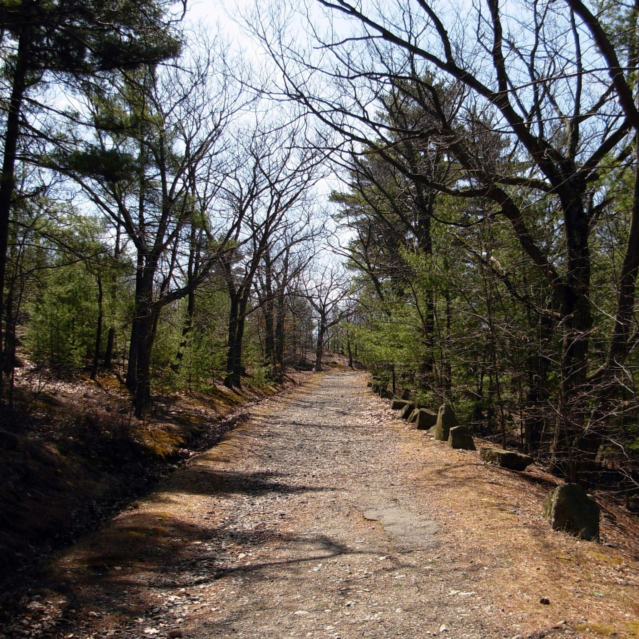
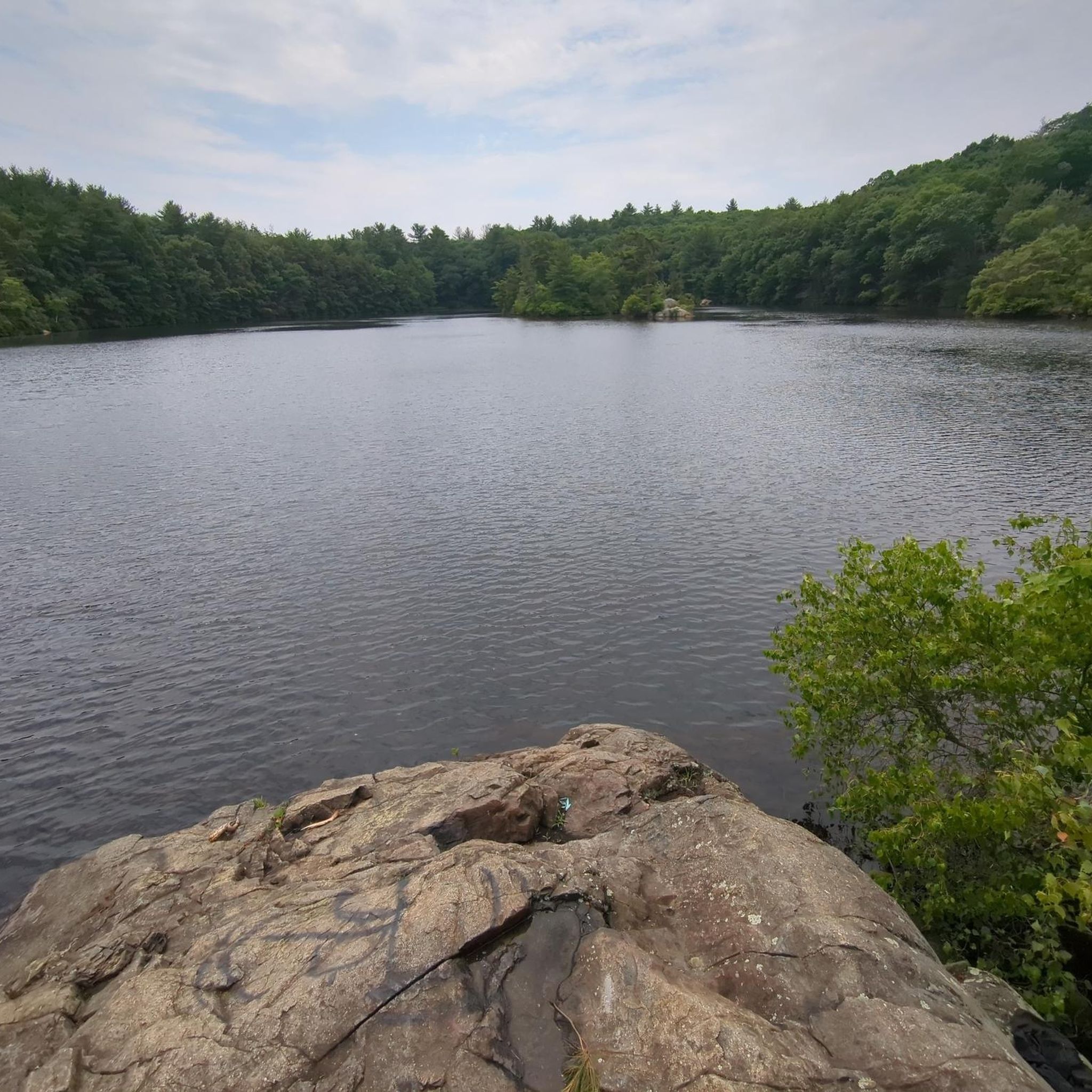
Ponds, swamps, rolling hills, and rocky outcroppings can be found in this state forest, which features more than 35 miles of roads and trails as well as remnants of 18th-century farming and milling operations.
0
0

Chain Bridge is the first bridge built over the Merrimack River, connecting Deer Island, a small island located in the middle of the river. The bridge has been open to travel since 1792, was rebuilt as a suspension bridge in 1810, and has been maintained as a toll bridge since 1828.
2
0
Pleasant Valley Road runs alongside the Merrimack River, providing views of the river, its surrounding wetlands, and green spaces. From this vantage point, you can also see Maudslay State Park on the opposite side of the river.
1
0

Located in Lynnfield, Bennett Keenan Conservation Land is a lovely and wild conservation area protecting local land and species.
0
0

Really nice bike trail built alongside highway lanes (steel barriers and walls between the two).
2
0
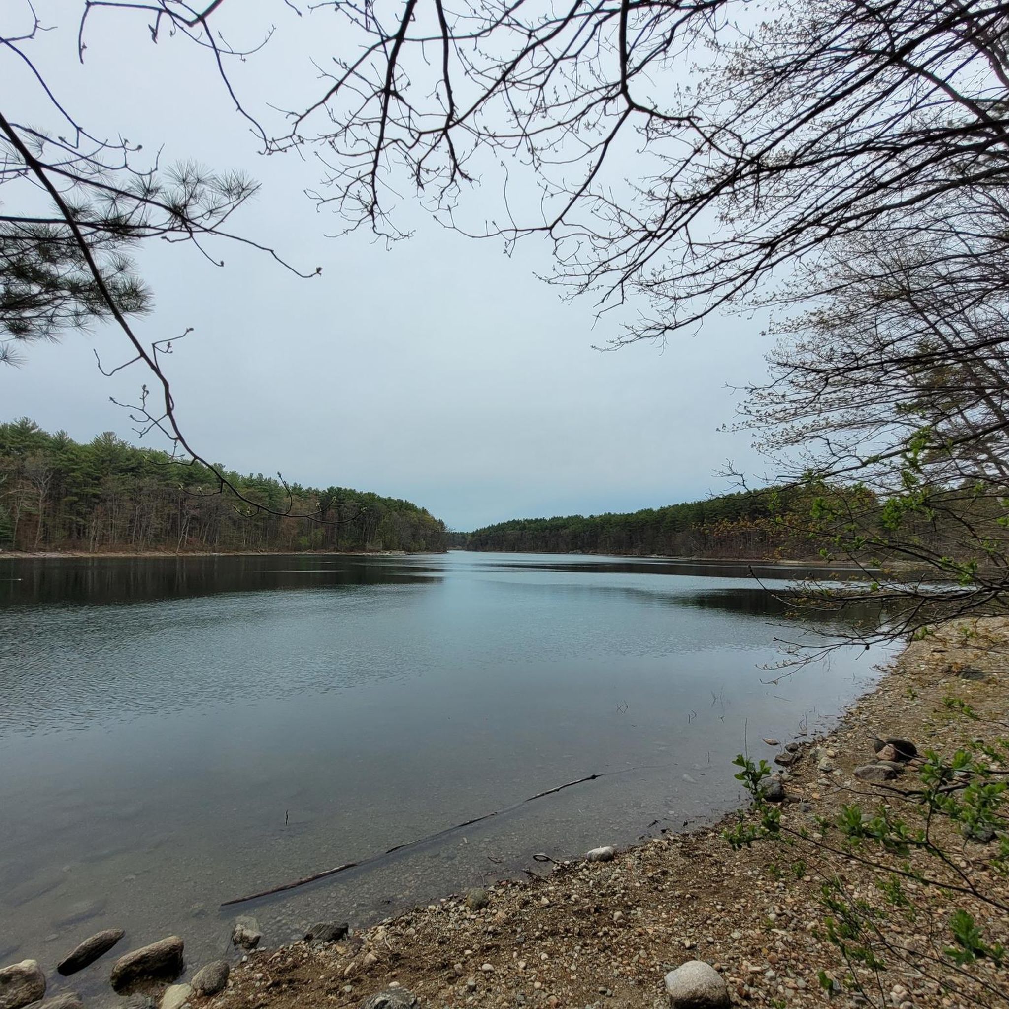
Lake Quannapowitt is a large, shallow lake at the north end of the town of Wakefield. It covers 254 acres and is about 3.6 miles around. This lake is emptied by the Saugus River. Lake Quannapowitt is a popular setting for walkers, joggers and bikers. It is the site of many organized races from 5 kilometers race to Ultra Marathons.
0
0
Τα πιο δημοφιλή αξιοθέατα Reading

Εμπνεύσου με την εφαρμογή komoot για κινητά


Ανακάλυψε περισσότερα
Περιηγήσου τα καλύτερα Διαδρομές δρόμου σε άλλες περιοχές.
