Οι καλύτερες διαδρομές και πεζοπορίες στις Μάρκε
4,4
(16135)
86.586
Πεζοπόροι
3.534
Πεζοπορίες
Θέλετε να κάνετε πεζοπορία Μάρκε για να εξερευνήσετε περισσότερο αυτή τη γωνιά της περιοχής Ιταλία; Σε αυτόν τον οδηγό, εξετάσαμε ολόκληρη τη συλλογή πεζοπορικών διαδρομών Μάρκε για να σας φέρουμε τις καλύτερες διαδρομές στην περιοχή. Για να δείτε ποια από τις πεζοπορίες μας Μάρκε είναι η κατάλληλη για εσάς, δείτε πραγματικές συμβουλές και φωτογραφίες που ανέβασαν άλλοι πεζοπόροι — και δείτε τι είπαν για κάθε διαδρομή.
Τελευταία ενημέρωση: 6 Νοεμβρίου 2026
4,7
(289)
1.584
Πεζοπόροι
10,2km
04:19
900m
900m
If you are looking for a challenging high-mountain hike, the Monte Vettore from Forca di Presta Trail is a difficult route that covers 6.3 miles (10.2 km). You will gain 2961 feet (903 metres) in elevation, typically taking around 4 hours and 18 minutes to complete. As you ascend, you will experience a rugged, open landscape, offering expansive views over the vast Piano Grande of Castelluccio and the broader Monti Sibillini mountain range. The trail leads you past landmarks like the Zilioli Memorial Cross, providing a sense of achievement as you make your way towards the summit of Monte Vettore.
Before you set out, check current conditions, as snow can obscure the path even when it is generally well-marked. Be prepared for strong winds, especially at the summit. Remember that the Monti Sibillini National Park has strict regulations; this means no dogs, no littering, and no fires are permitted. There are generally no water points along the route, so carry enough supplies for the entire duration.
This high-mountain trek offers a unique perspective of the Monti Sibillini National Park. On clear days, the panoramic views from the trail can extend far beyond the immediate peaks, potentially allowing you to spot the Adriatic Sea and even the Gran Sasso mountains in the distance. The route provides a rewarding experience for hikers who are in good physical condition and appreciate the solitude of a challenging mountain environment.
4,7
(227)
763
Πεζοπόροι
8,29km
02:48
350m
350m
Embark on the From Fonte d'Olio to Monte Conero loop tour, a moderate hike spanning 5.2 miles (8.3 km) with an elevation gain of 1142 feet (348 metres). This route typically takes about 2 hours and 47 minutes to complete, guiding you through the diverse landscapes of Conero Natural Park. You will experience a varied terrain, starting with a steep section among stones, transitioning to gentler paths through lush woods, and even some asphalted parts. As you hike, enjoy panoramic views of the Adriatic coastline and the park's interior, surrounded by Mediterranean vegetation like pines, holm oaks, and strawberry trees.
Planning your visit requires good fitness and sure-footedness, as some sections can be uneven. Trekking shoes are highly recommended to navigate the varied surfaces, and you might find poles helpful for stability, especially on the initial steep climb. While the trail is generally accessible, being prepared for its moderate difficulty will ensure a more enjoyable experience.
This loop is one of the most popular hiking routes in the Parco regionale del Conero, a protected ecological area where mountains meet the sea. The trail offers a unique opportunity to explore the Monte Conero promontory, with its rocky cliffs descending towards the crystalline coast. You will discover a distinct environment that blends shady forest sections with breathtaking coastal vistas, showcasing the rich natural beauty of this region.

4,5
(147)
452
Πεζοπόροι
7,74km
02:41
330m
330m
Embark on a moderate loop tour through the diverse landscapes of Monte Conero, where mountain terrain meets the Adriatic Sea. You will hike through mixed forests of holm oaks and pines, traverse garrigue plateaus, and follow coastal paths offering expansive views. Look out for the iconic Spiaggia delle Due Sorelle from various vantage points. This route covers 4.8 miles (7.7 km) with an elevation gain of 1069 feet (326 metres), and typically takes around 2 hours and 40 minutes to complete.
While the difficulty of Monte Conero trails can vary, this specific loop is considered moderate, requiring good fitness and sure-footedness. The paths are generally well-marked with red and white signs, guiding you through the varied terrain. Some sections, particularly near Passo del Lupo, can become narrow with increasing drops, which might be challenging if you are uncomfortable with heights. Plan your visit during favorable weather to best enjoy the panoramic views.
The Monte Conero area is a protected ecological zone, rich in both natural beauty and historical significance. As you hike, you can discover ancient sites like the Abbey of San Pietro, a former Camaldolese monastery. The promontory itself is characterized by limestone cliffs, and on clear days, you might even spot the Sibillini Mountains in the distance. The park's diverse flora and fauna also make it an excellent spot for birdwatching.
4,7
(175)
451
Πεζοπόροι
Embark on the Capuchin Way - Stage 1: Furlo Gorge, a moderate hike that takes you through diverse landscapes. You will traverse dense forests and open areas, offering impressive views of the Gola del Furlo gorge. The route covers 4.7 miles (7.6 km) with an elevation gain of 1771 feet (540 metres), typically taking about 2 hours and 56 minutes to complete. As you hike, you will see rocky cliffs, green meadows, and the emerald waters of the Candigliano River below. The panoramic perspective from the Terrazza del Furlo is a true highlight, providing an unparalleled view of the deep canyon and surrounding Apennine mountains.
When planning your visit, be aware that some parts of the trail are steep. You might encounter loose rocks or tree roots, particularly after rainfall, so sure-footedness is important. Sturdy hiking shoes are highly recommended to ensure your safety and comfort on the path. Access to the trailhead is straightforward, as parking is generally available near the starting point. This makes it easy to begin your adventure into the gorge.
This loop offers a rewarding experience within the beautiful Riserva Naturale Statale Gola del Furlo. The trail allows you to explore the natural environment of the gorge, characterized by its deep canyon and the surrounding Apennine mountains. It's a chance to connect with nature and appreciate the unique geological features of this protected area.
4,8
(117)
562
Πεζοπόροι
The Monte Sibilla Loop offers a challenging hiking experience through varied terrain, leading you to spectacular 360-degree views. You'll begin with a steep climb towards Mount Zampa, feeling the effort as you gain elevation. After this initial ascent, the route eases into a panoramic ridge walk, where the landscape opens up around you. This difficult hike covers 7.6 miles (12.3 km) and involves a significant elevation gain of 2003 feet (610 metres). Expect to spend around 4 hours and 48 minutes completing the full loop, immersed in the natural beauty of the Sibillini Mountains.
To start your adventure, head to Rifugio Sibilla, which serves as a convenient trailhead for the Monte Sibilla Loop. It's wise to plan your visit carefully, especially if you're considering hiking outside the warmer seasons. During winter months, the trail can become slippery, icy, and even impassable due to heavy snow. Always check current conditions before you go to ensure a safe and enjoyable experience. Starting early in the day is often recommended to allow ample time for the full duration of the hike.
From the summit of Monte Sibilla, you'll be rewarded with expansive vistas that highlight the region's unique geography. On clear days, you can clearly see the dramatic Infernaccio Gorge, the imposing Monte Priora, and even catch a glimpse of the Adriatic Sea in the distance. The area is particularly vibrant with wildflowers, various bird species, and butterflies, especially between May and July. This rich biodiversity adds another layer of appeal to the challenging yet rewarding journey through the Parco Nazionale dei Monti Sibillini.
4,6
(92)
410
Πεζοπόροι
4,6
(158)
591
Πεζοπόροι
9,89km
03:04
320m
320m
Embark on a moderate hike from Passo Cantoniera to Sasso Simone, a 6.1-mile (9.9 km) route that takes about 3 hours and 3 minutes to complete, with an elevation gain of 1040 feet (317 metres). You will start on a short asphalt road, quickly moving onto a wide, unpaved path that descends into serene forests of oak, beech, and maple. The landscape shifts from lush green pastures to unique "calanchi" clay formations, leading you towards the distinctive, massive block of calcareous rock that is Sasso di Simone. The trail offers diverse terrain and scenery, making for a varied and engaging experience.
This trail is generally considered moderate, requiring good training and sure footing, especially since the terrain can become muddy and uneven after rain. The route is accessible for hiking, biking, or even horseback riding, typically from March to November. Make sure to wear appropriate footwear to handle the varied conditions. While some initial sections are easy and practically flat, the overall journey to Sasso Simone presents a satisfying challenge.
Sasso di Simone is a prominent geological formation and a key attraction, a towering limestone cliff that has been a historical reference point for centuries. In the 16th century, Cosimo I de' Medici attempted to build a fortified city, "Città del Sole," atop Sasso di Simone; you can still see ruins and a paved road from this ambitious project. The Sasso di Simone Nature Reserve is also rich in biodiversity, home to wolves, deer, and unique plant species like wild orchids, offering truly unique panoramic views of the Apennine mountains and the Montefeltro region from its summit.
4,7
(97)
781
Πεζοπόροι
9,37km
04:13
830m
830m
Embark on a difficult hike from Forca di Presta to Cima del Lago, a challenging route that covers 5.8 miles (9.4 km). You will gain 2732 feet (833 metres) in elevation, requiring about 4 hours and 13 minutes to complete. As you climb, you'll experience the rugged terrain of the central Apennines, passing Monte Vettoretto. From there, you can spot the distant Monti della Laga and Gran Sasso mountain ranges. The trail offers expansive views of the Castelluccio Plain and the distinctive glacial Lake Pilato, with the Adriatic Sea sometimes visible on clear days.
This difficult trail demands good physical preparation before you set out. You can access the trailhead by car, with free parking available at Forca di Presta. Be aware that if snow is present, the route takes on an alpine character, making an ice axe and crampons necessary. The exposed ridges are also prone to strong winds and lightning during storms, so always check the weather forecast carefully before starting your hike.
This route is a rewarding adventure within the Monti Sibillini National Park, known for its dramatic landscapes. The trail's high elevation provides a unique perspective of the region's geology and natural beauty. It is an excellent choice if you are looking for a strenuous but memorable experience in the Apennine mountains.
3,9
(66)
278
Πεζοπόροι
The Lame Rosse Trail offers a truly distinctive hiking experience, leading you through a landscape dominated by dramatic red rock formations. These towering 'red blades' are sculpted by erosion, creating a striking contrast against the lush green surroundings of the Monti Sibillini National Park. This difficult hike spans 6.9 miles (11.1 km) and includes a substantial elevation gain of 1696 feet (517 metres), typically taking around 3 hours and 46 minutes to complete.
To start your journey, make your way to the dam of Lago di Fiastra, where convenient parking is available. The route begins by crossing the dam, providing picturesque views of the lake's vibrant turquoise waters before you venture into the forests. Be aware that the final stretch to the Lame Rosse involves a steep climb over loose gravel, so wearing sturdy hiking shoes is essential for your safety and comfort. Remember to carry enough water, especially if you are hiking during the warmer summer months.
What makes this trail particularly special is its unique geological panorama, often likened to a 'mini Grand Canyon' right here in Italy. The Lame Rosse formations are a natural wonder, showcasing how centuries of erosion have carved the landscape into these impressive pinnacles. It's a place where the earth's raw power is on full display, offering a memorable visual spectacle that sets it apart from other trails in the region.
4,4
(115)
273
Πεζοπόροι
Embark on the Cagli and Gorgo a Cerbara Gorge Loop, a moderate hike that takes you through diverse landscapes in the Marche region. This route spans 6.3 miles (10.1 km) and involves an elevation gain of 1061 feet (323 metres), typically completed in about 3 hours and 1 minutes. You will traverse dedicated paths, gravel sections, and natural terrain, encountering flourishing vegetation like holm oaks and beech trees, with cyclamens and orchids underfoot. A highlight is the Gola di Gorgo a Cerbara, where you can witness a gigantic, foamy water whirlpool, and the beautiful Cascata del Mulino di Secchiano waterfall.
Before you set out, be aware that parts of the original loop may no longer be fully accessible. A significant portion of the trail along the Bosso river is now private, meaning walkers are not permitted. Additionally, the route to the Torrione di Cagli is no longer walkable. It is important to plan your visit with these changes in mind to ensure a smooth and enjoyable hiking experience.
This trail offers a unique opportunity to explore the Monte Nerone area, renowned for its distinctive limestone massif and karst topography. The geological features of the region create a dramatic backdrop for your hike, showcasing the natural beauty of the Marche. The combination of varied terrain and specific natural landmarks makes this loop a notable option for those looking to experience the local environment.
Πάρε πρόσβαση σε περισσότερες διαδρομές και προτάσεις από άλλους εξερευνητές.
Έχεις ήδη λογαριασμό;
Οι προτάσεις διαδρομών μας βασίζονται σε χιλιάδες πεζοπορίες, ποδηλασίες και τρεξίματα που ολοκληρώθηκαν από άλλους χρήστες στο komoot.
Ξεκίνα σήμερα με έναν δωρεάν λογαριασμό
Η επόμενη περιπέτειά σου σε περιμένει.
Δημοφιλή γύρω από Μάρκε
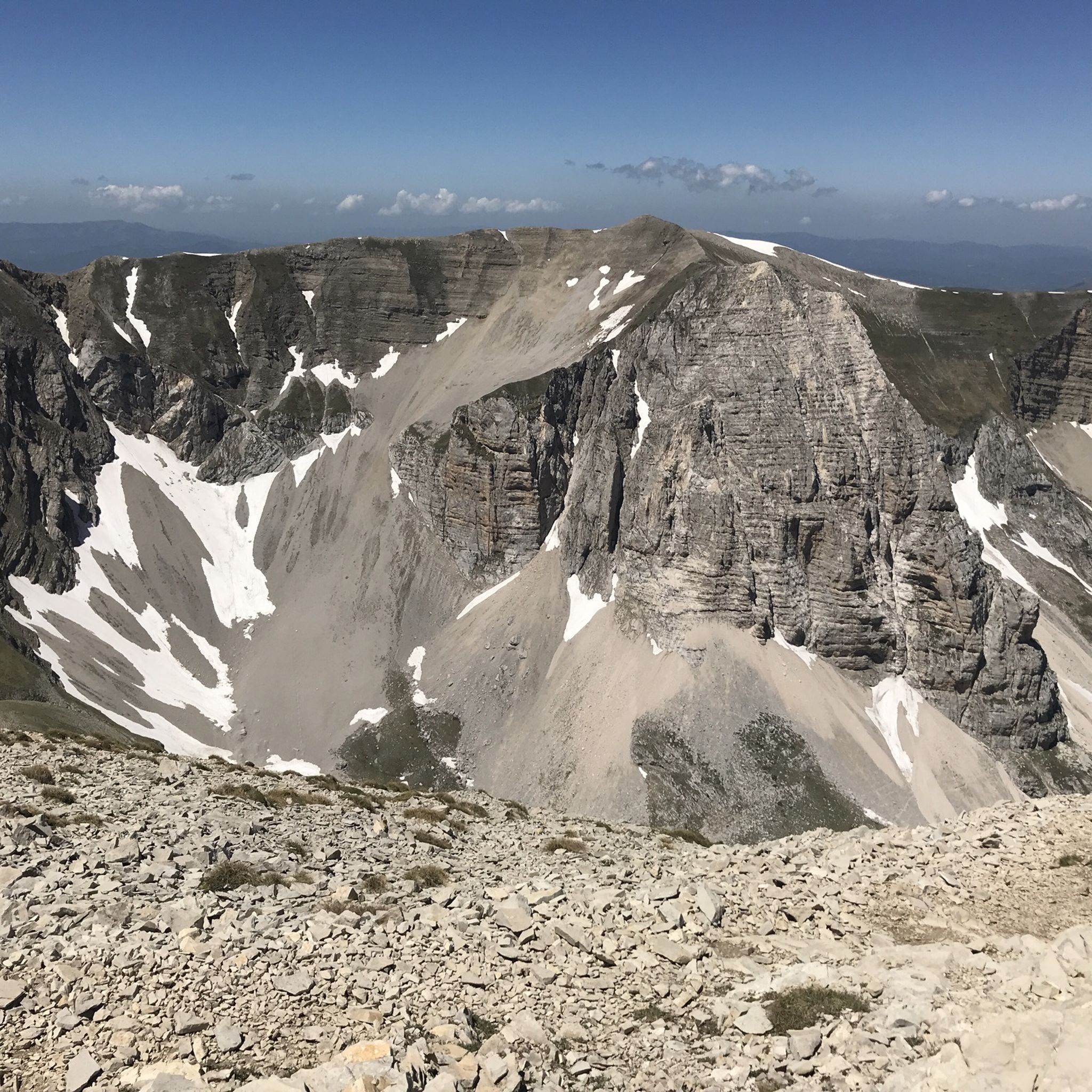
Πεζοπορία Άσκολι Πιτσένο
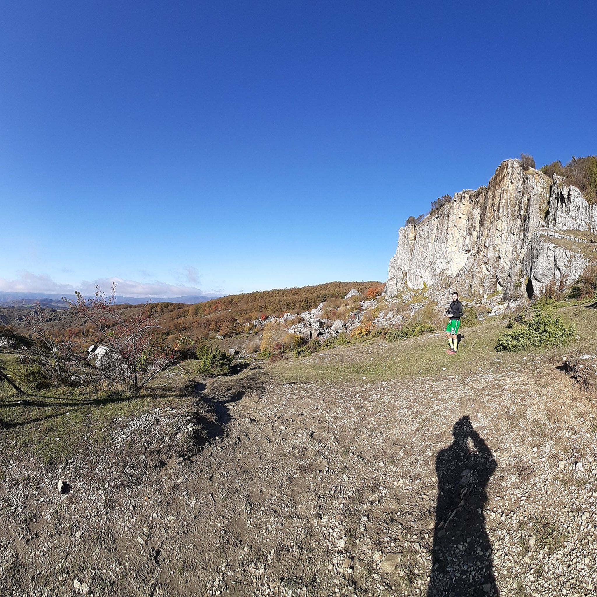
Πεζοπορία Πέζαρο και Ουρμπίνο
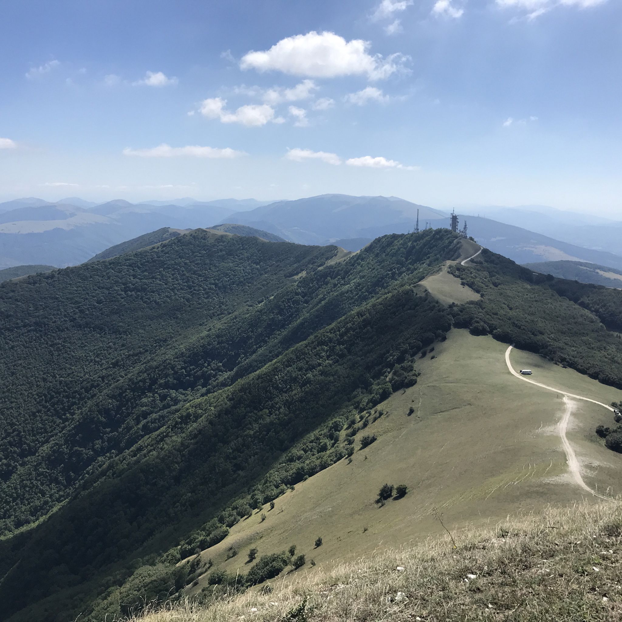
Πεζοπορία Ανκόνα
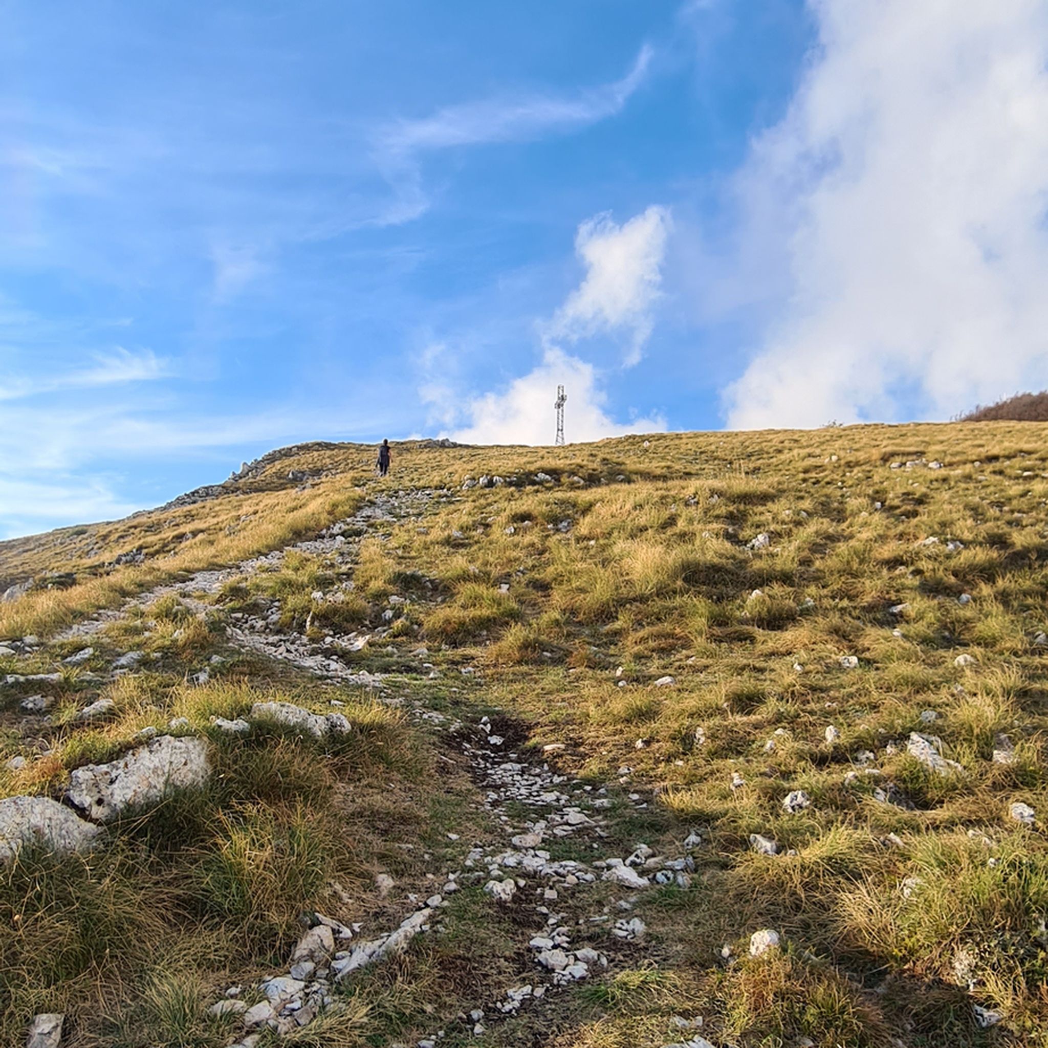
Πεζοπορία Ματσεράτα
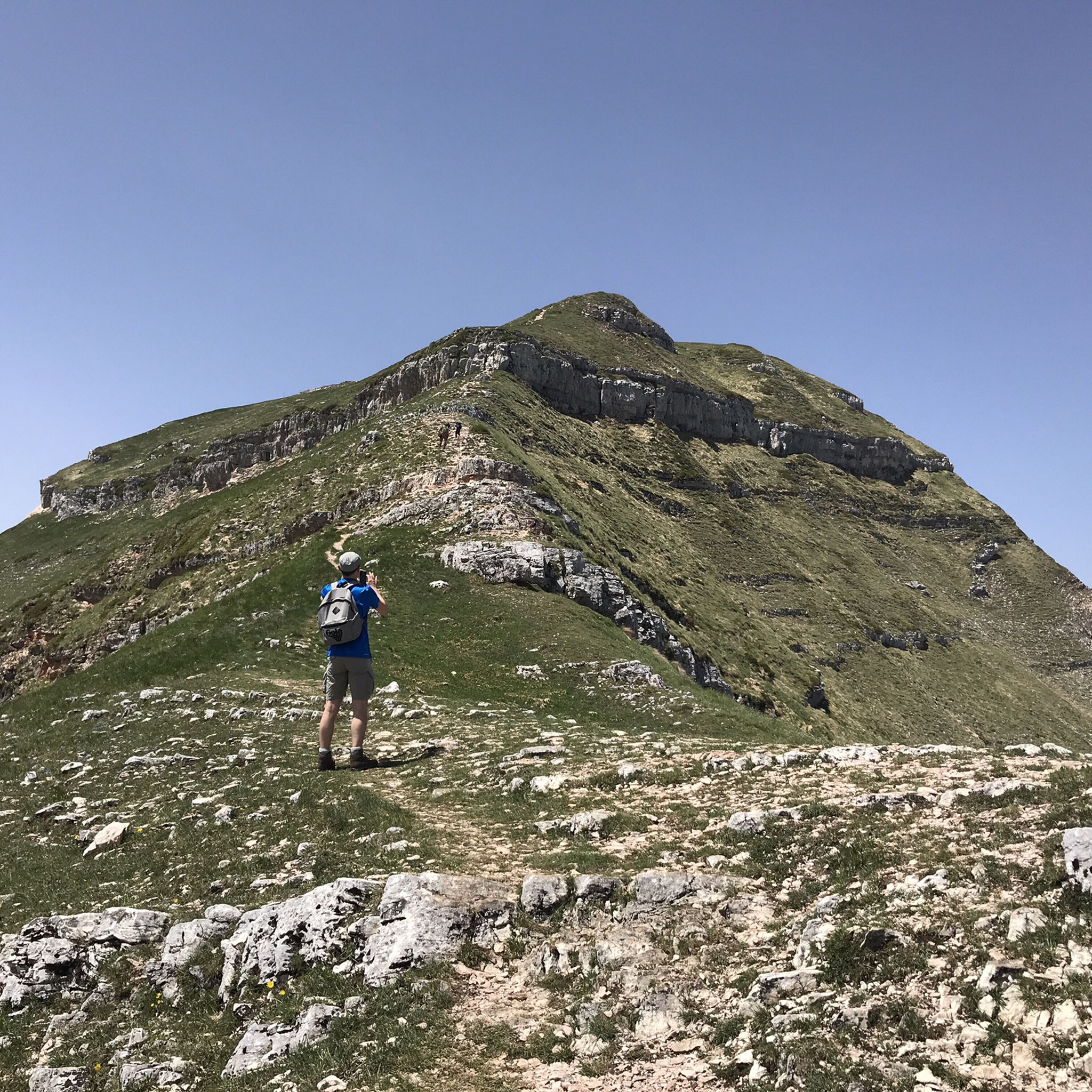
Πεζοπορία Φέρμο
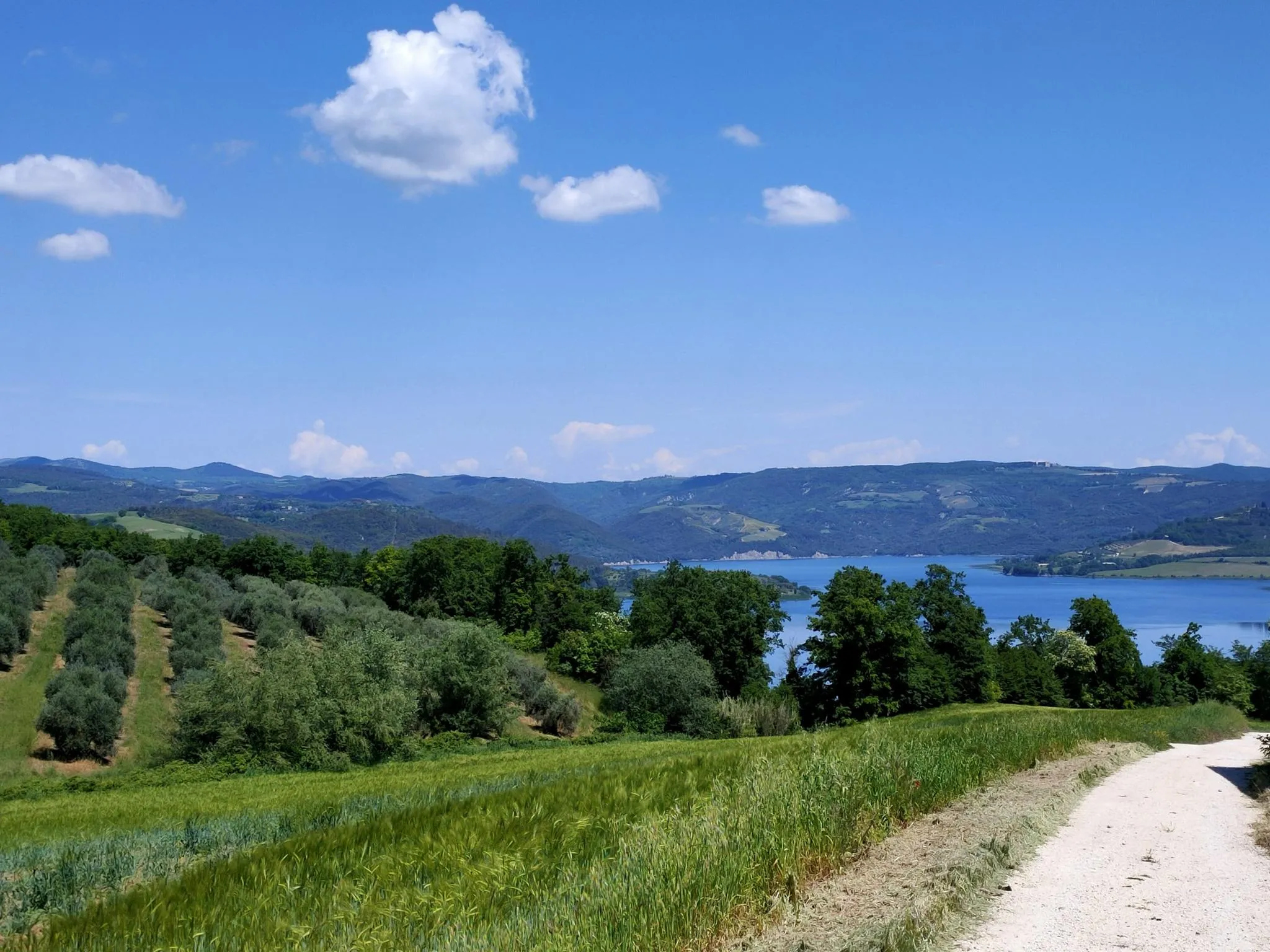
Italian Coast2Coast – From Portonovo to Orbetello
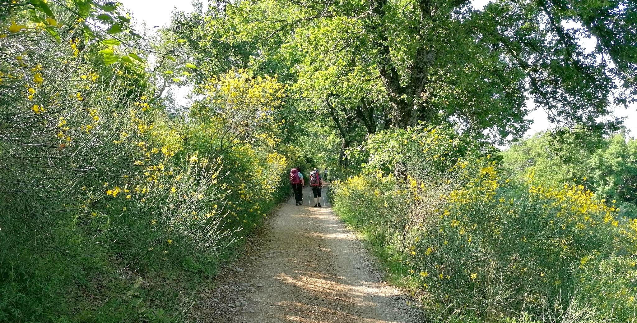
A journey of faith between Umbria and Marche – Via Lauretana
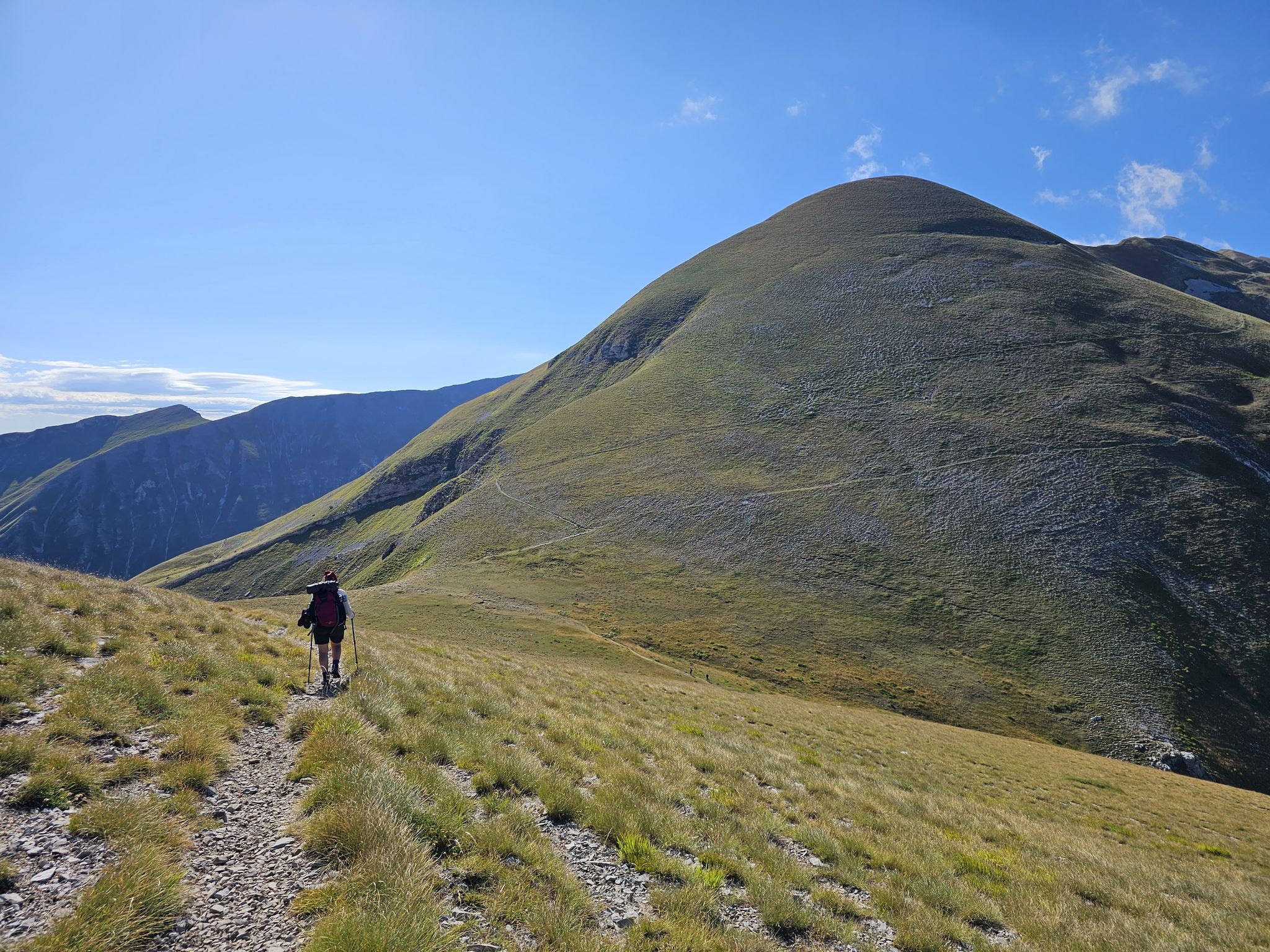
The Sibillini Mountains to Gran Sasso – the Great Apennine Crossing
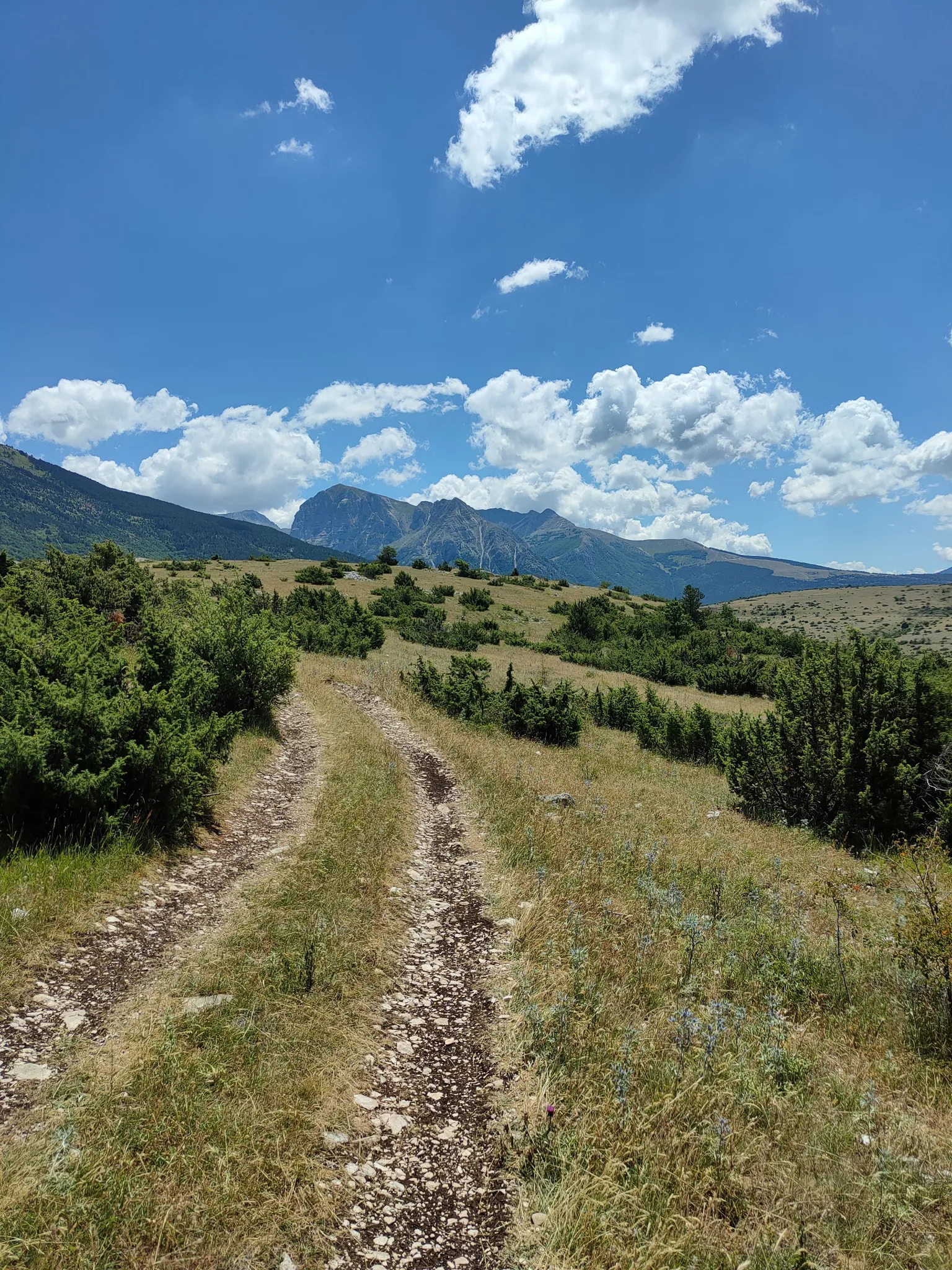
On the trail of the Queen of the Fairies – Grande Anello dei Sibillini
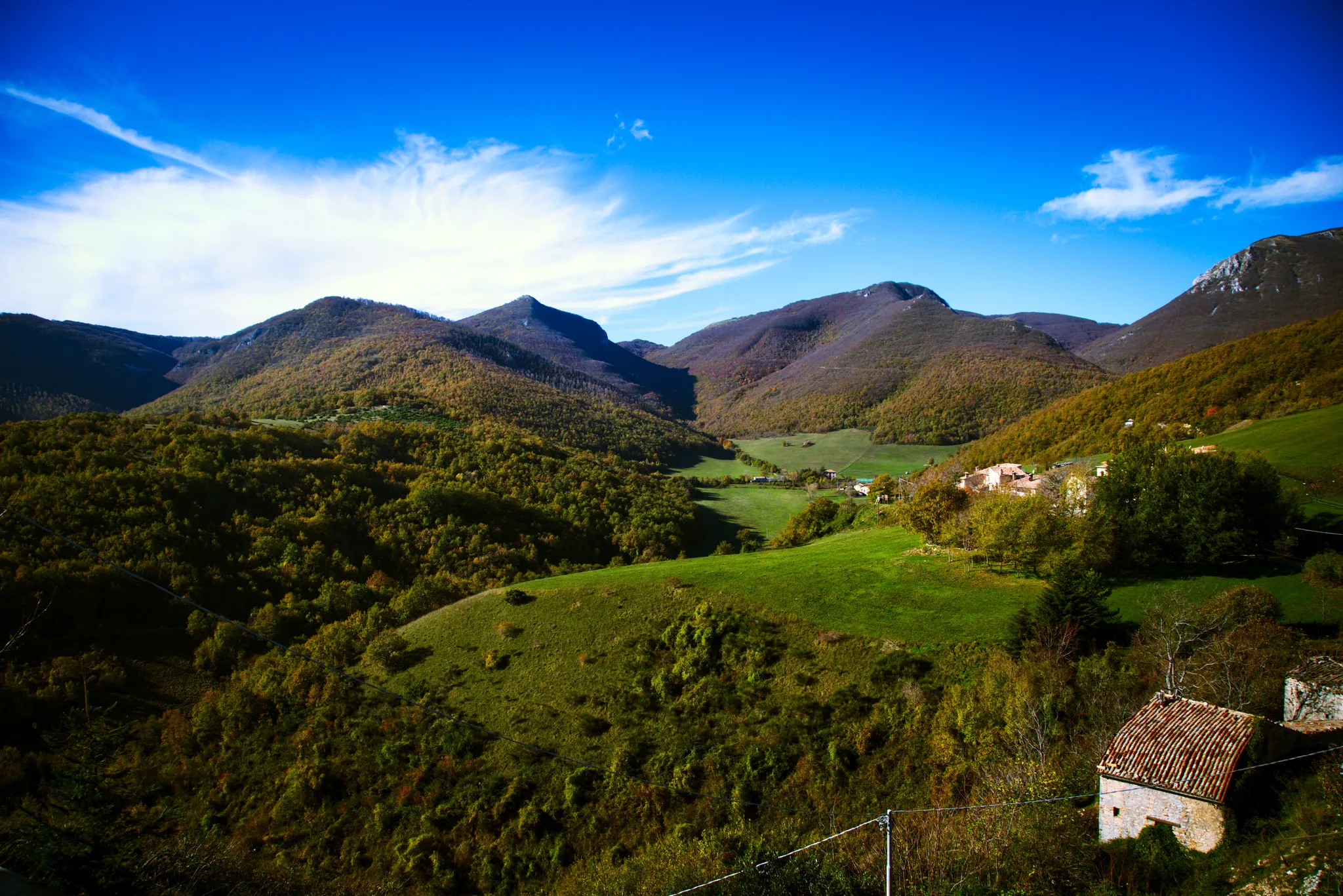
In the heart of Le Marche – Cammino dei Forti
Άλλες περιπέτειες στις Μάρκε


Συμβουλές από την κοινότητα

Από τη μία πλευρά φαίνονται οι δύο λιμνούλες, από την άλλη η πεδιάδα του Castelluccio
0
0
Είναι ένα bivacco όπου μπορείς να κοιμηθείς
0
0

πανέμορφη βραχώδης πλατφόρμα με επίπεδη κορυφή και κάθετους περιβάλλοντες τοίχους, με όμορφη θέα τριγύρω. Υπάρχουν δύο δυνατότητες ανάβασης: από τα δυτικά με ένα απότομο μονοπάτι εξοπλισμένο με σχοινιά και από τα ανατολικά, από το καταφύγιο, με ένα ευρύτερο και βατό μονοπάτι.
1
0

Από τις 30 Μαΐου έως τον Οκτώβριο, είναι ΥΠΟΧΡΕΩΤΙΚΗ η ανάβαση από το Montemonaco / χωριό Collina με το λεωφορείο! Ψάξτε στο Google για να μην αντιμετωπίσετε δυσάρεστες εκπλήξεις.
0
0

Καλημέρα Αν δεν μπορείτε να ξεκινήσετε από την Cagli επειδή το τμήμα είναι ιδιωτικό, από πού μπορείτε να ξεκινήσετε την πεζοπορία; Ευχαριστώ!
0
0

Ο Monte Vettoretto είναι μια κορυφή που βρίσκεται μεταξύ της Croce Tito Zilioli και του Bivacco Tito Zilioli από όπου μπορείτε να απολαύσετε ένα όμορφο γύρω τοπίο, εύκολα προσβάσιμο από το μονοπάτι που από τη Forca di Presta οδηγεί στο Monte Vettore στα 2062μ υψόμετρο.
0
0

Τον Ιούνιο του 2026 το καταφύγιο είναι ξανά κλειστό. Κρίμα
0
0

αξίζει, η βόλτα στις μοναδικές ψηλές και χαμηλές βεράντες.
1
0
Οι πιο δημοφιλείς διαδρομές στις Μάρκε
Τα πιο δημοφιλή αξιοθέατα στις Μάρκε

Εμπνεύσου με την εφαρμογή komoot για κινητά


Δεν βρήκες αυτό που ψάχνεις;
Δες περισσότερα Πεζοπορίες σε όλη την περιοχή Μάρκε παρακάτω και βρες την τέλεια διαδρομή στον προορισμό σου.
Ανακάλυψε περισσότερα
Περιηγήσου τα καλύτερα Πεζοπορίες σε άλλες περιοχές.
