Οι καλύτερες διαδρομές τρεξίματος Duranus
4,5
(35)
2.489
Δρομείς
167
Διαδρομές τρεξίματος
Το τρέξιμο Duranus είναι ένας από τους καλύτερους τρόπους να εξερευνήσετε περισσότερο αυτή την περιοχή. Για να σας βοηθήσουμε να ανακαλύψετε τις πιο όμορφες διαδρομές τρεξίματος, εξετάσαμε ολόκληρη τη συλλογή μας Duranus — και σας παρουσιάζουμε τις καλύτερες διαδρομές τρεξίματος. Κάντε κλικ σε οποιαδήποτε διαδρομή για περισσότερες λεπτομέρειες και δείτε πραγματικές συμβουλές και φωτογραφίες από άλλους δρομείς.
Τελευταία ενημέρωση: 5 Σεπτεμβρίου 2026
28
Δρομείς
36,4km
06:07
2.190m
2.190m
Δύσκολο τρέξιμο. Απαιτείται πολύ καλή φυσική κατάσταση. Απαιτείται σταθερό βάδισμα, ανθεκτικά παπούτσια και εμπειρία σε ορεινές διαδρομές.
15
Δρομείς
13,1km
02:46
1.090m
1.090m
Δύσκολο τρέξιμο. Απαιτείται πολύ καλή φυσική κατάσταση. Απαιτείται σταθερό βάδισμα, ανθεκτικά παπούτσια και εμπειρία σε ορεινές διαδρομές.

15
Δρομείς
17,2km
02:34
820m
820m
Δύσκολο τρέξιμο. Απαιτείται πολύ καλή φυσική κατάσταση. Κυρίως ασφαλτοστρωμένες επιφάνειες. Κατάλληλο για όλα τα επίπεδα δεξιοτήτων.
13
Δρομείς
8,17km
00:59
280m
280m
Μέτριο τρέξιμο. Απαιτείται καλή φυσική κατάσταση. Κυρίως προσβάσιμα μονοπάτια. Απαιτείται κάποια καλή ισορροπία.
9
Δρομείς
51,5km
08:03
2.740m
2.730m
Δύσκολο τρέξιμο. Απαιτείται πολύ καλή φυσική κατάσταση. Απαιτείται σταθερό βάδισμα, ανθεκτικά παπούτσια και εμπειρία σε ορεινές διαδρομές.
Πάρε πρόσβαση σε περισσότερες διαδρομές και προτάσεις από άλλους εξερευνητές.
Έχεις ήδη λογαριασμό;
Οι προτάσεις διαδρομών μας βασίζονται σε χιλιάδες πεζοπορίες, ποδηλασίες και τρεξίματα που ολοκληρώθηκαν από άλλους χρήστες στο komoot.
Ξεκίνα σήμερα με έναν δωρεάν λογαριασμό
Η επόμενη περιπέτειά σου σε περιμένει.
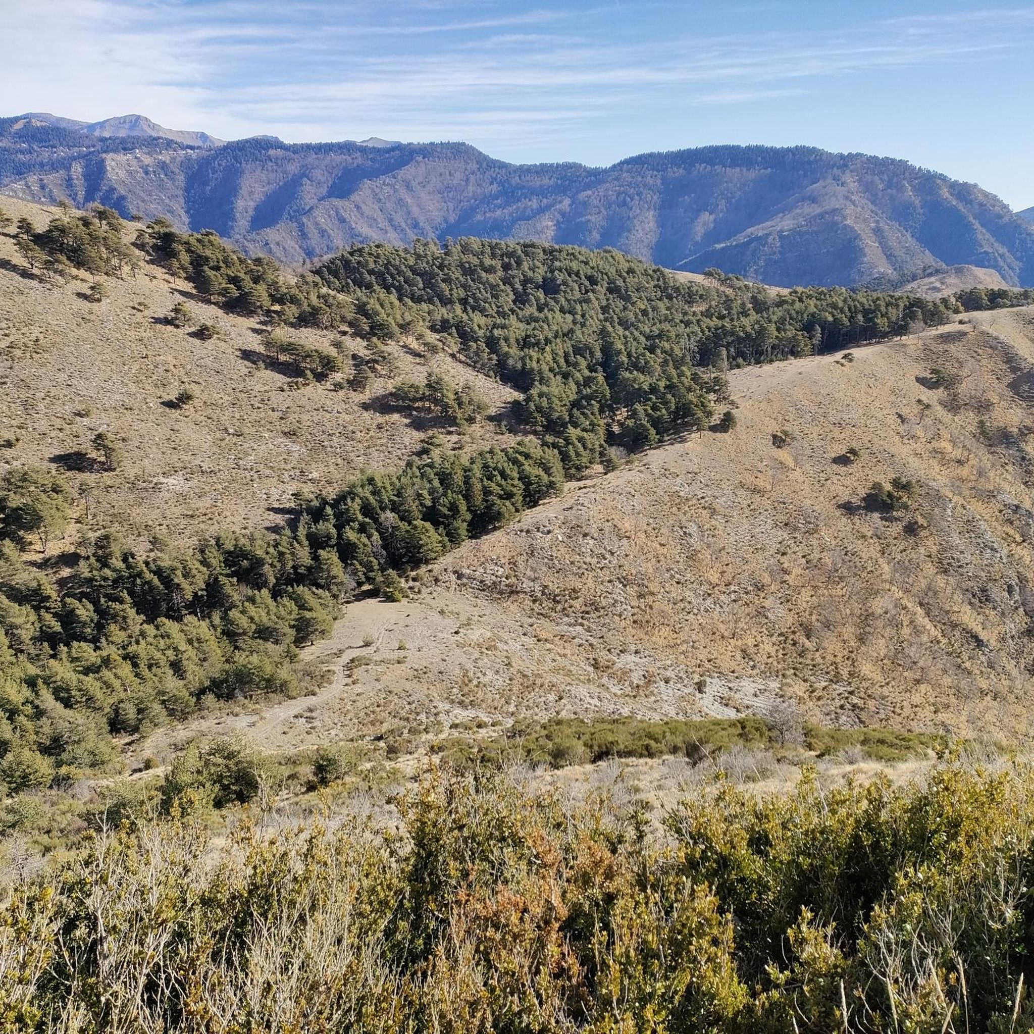
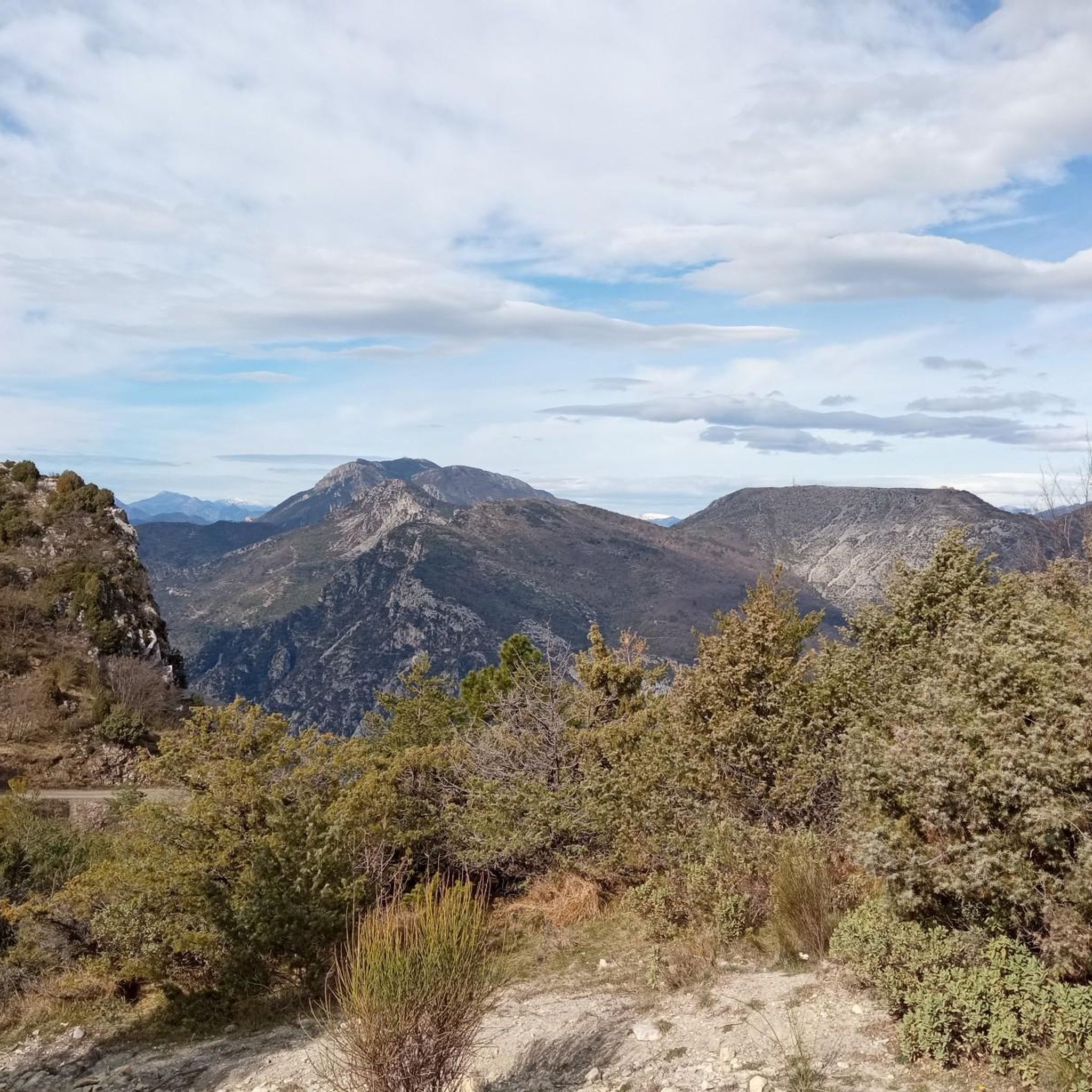
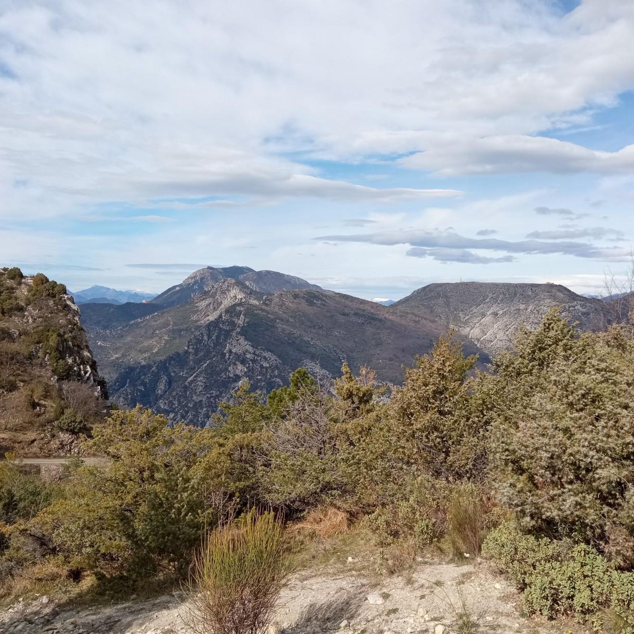
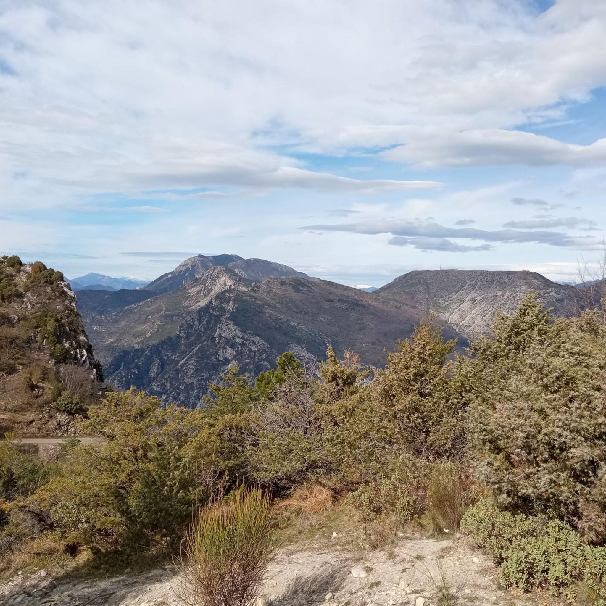
Συμβουλές από την κοινότητα

Κόμβος πολλών διακλαδώσεων. Από εδώ, οι ποδηλάτες βουνού κατευθύνονται στο Disneyland 2 Trail, το οποίο κατηφορίζει ομαλά για χιλιόμετρα μέσα στην κοιλάδα με υπέροχη θέα. Συνιστάται ανεπιφύλακτα, ονειρικό.
0
0
Ένα S2 κατεβαίνει δεξιά, αλλά όχι πολύ ομαλό στην οδήγηση, πέτρες, απότομο πάνω και κάτω, αλλά μερικώς ωραία θέα
0
0

Crossing point to reach the ruins of Rocasparviera
0
0

Small, little-used pass which offers another version of the Col de Braus.
0
0

Accessible by gravel (40mm tyres) or by mountain bike, the summit of Mont Férion (1412m) will be your finish line if you are a cyclist in full climb. Your reward will be the panoramic view: from the Alps and the Mercantour, to the Mediterranean, passing through the Paillon valley and the Var valley. You will find a watchtower which serves as a lookout to protect the massifs against fire and even houses a small refuge on the ground floor of the tower with a fireplace to warm walkers in difficulty.
0
0
The watchtower of Mont Férion (1412m), will be your finish line if you are a cyclist in full ascent of Férion. It also serves as a lookout to protect the massifs against fire and even houses a small refuge on the ground floor of the tower with a fireplace to warm walkers in difficulty. The view at the top is panoramic: from the Alps and the Mercantour, to the Mediterranean via the Paillon valley and the Var valley.
0
0

It's really a pass that I recommend to all nature lovers. The view at the top is truly breathtaking.
0
0

On the heights of the Vésubie gorges, the Saint-Antoine chapel rises to 660 meters. Its bucolic setting invites you to take a break. In case of strong heat, do not hesitate to enter to enjoy its freshness.
0
0
Τα πιο δημοφιλή αξιοθέατα Duranus

Εμπνεύσου με την εφαρμογή komoot για κινητά


Ανακάλυψε περισσότερα
Περιηγήσου τα καλύτερα Διαδρομές & διαδρομές για τρέξιμο σε άλλες περιοχές.
