Chronik
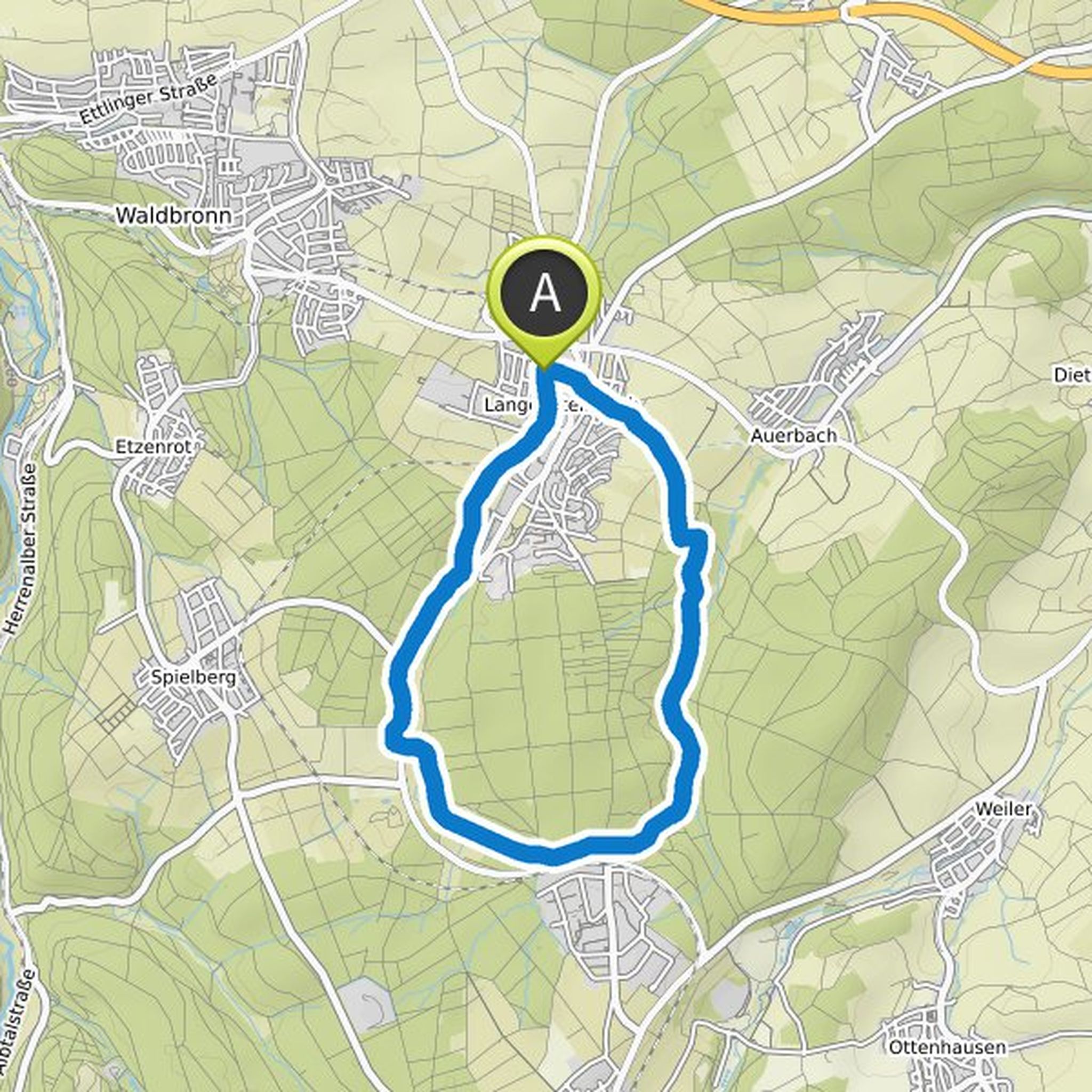
Hansbaumann hat eine Wanderung geplant
9. November 2022
Dauer
Distanz
Geschwindigkeit
Aufstieg
Abstieg
Hansbaumann hat eine Wanderung geplant
28. Juni 2022
Dauer
Distanz
Geschwindigkeit
Aufstieg
Abstieg
Hansbaumann hat eine Wanderung geplant
24. März 2022
Dauer
Distanz
Geschwindigkeit
Aufstieg
Abstieg
Hansbaumann hat eine Wanderung geplant
16. Oktober 2021
Dauer
Distanz
Geschwindigkeit
Aufstieg
Abstieg

Hansbaumann hat eine Wanderung geplant
23. Juli 2021
Dauer
Distanz
Geschwindigkeit
Aufstieg
Abstieg

Hansbaumann hat eine Wanderung geplant
23. Juli 2021
Dauer
Distanz
Geschwindigkeit
Aufstieg
Abstieg

Hansbaumann hat eine Wanderung geplant
17. Juli 2021
Dauer
Distanz
Geschwindigkeit
Aufstieg
Abstieg

Hansbaumann hat eine Wanderung geplant
4. Juli 2021
Dauer
Distanz
Geschwindigkeit
Aufstieg
Abstieg

Hansbaumann hat eine Wanderung geplant
4. Juli 2021
Dauer
Distanz
Geschwindigkeit
Aufstieg
Abstieg

Hansbaumann hat eine Wanderung geplant
4. Juli 2021
Dauer
Distanz
Geschwindigkeit
Aufstieg
Abstieg

Hansbaumann hat eine Wanderung geplant
2. Juli 2021
Dauer
Distanz
Geschwindigkeit
Aufstieg
Abstieg
Hansbaumann hat eine Wanderung geplant
2. Juli 2021
Dauer
Distanz
Geschwindigkeit
Aufstieg
Abstieg

Hansbaumann hat eine Wanderung geplant
3. Juni 2021
Dauer
Distanz
Geschwindigkeit
Aufstieg
Abstieg

Hansbaumann hat eine Wanderung geplant
28. November 2020
Dauer
Distanz
Geschwindigkeit
Aufstieg
Abstieg

Hansbaumann hat eine Wanderung geplant
27. November 2020
Dauer
Distanz
Geschwindigkeit
Aufstieg
Abstieg
