Chronik
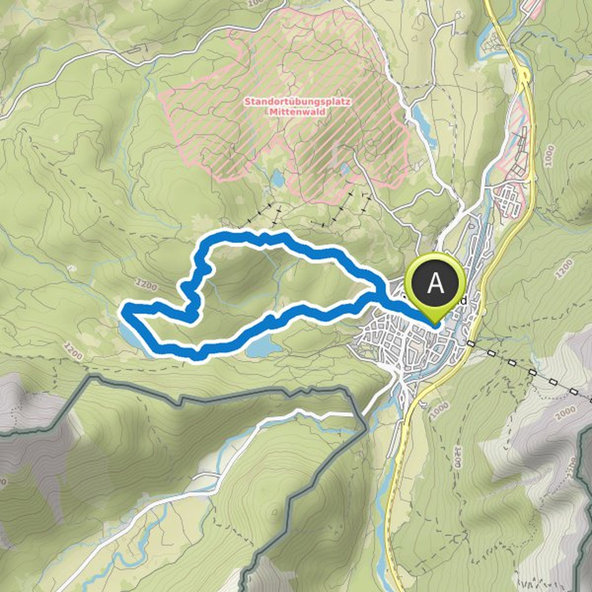
Sebastian Strzelczyk hat eine Wanderung geplant
3. März 2026
Dauer
Distanz
Geschwindigkeit
Aufstieg
Abstieg
Sebastian Strzelczyk hat eine Wanderung geplant
8. Oktober 2025
Dauer
Distanz
Geschwindigkeit
Aufstieg
Abstieg
Sebastian Strzelczyk hat eine Wanderung geplant
29. April 2025
Dauer
Distanz
Geschwindigkeit
Aufstieg
Abstieg
Sebastian Strzelczyk hat eine Wanderung geplant
29. April 2025
Dauer
Distanz
Geschwindigkeit
Aufstieg
Abstieg
Sebastian Strzelczyk hat eine Wanderung geplant
29. April 2025
Dauer
Distanz
Geschwindigkeit
Aufstieg
Abstieg
Sebastian Strzelczyk hat eine Wanderung geplant
29. April 2025
Dauer
Distanz
Geschwindigkeit
Aufstieg
Abstieg
Sebastian Strzelczyk hat eine Wanderung geplant
27. April 2025
Dauer
Distanz
Geschwindigkeit
Aufstieg
Abstieg
Sebastian Strzelczyk hat eine Wanderung geplant
27. April 2025
Dauer
Distanz
Geschwindigkeit
Aufstieg
Abstieg
Sebastian Strzelczyk hat eine Wanderung geplant
9. März 2025
Dauer
Distanz
Geschwindigkeit
Aufstieg
Abstieg
Sebastian Strzelczyk hat eine Wanderung geplant
2. März 2025
Dauer
Distanz
Geschwindigkeit
Aufstieg
Abstieg
Sebastian Strzelczyk hat eine Wanderung geplant
28. Januar 2025
Dauer
Distanz
Geschwindigkeit
Aufstieg
Abstieg
Sebastian Strzelczyk hat eine Wanderung geplant
26. März 2023
Dauer
Distanz
Geschwindigkeit
Aufstieg
Abstieg
Sebastian Strzelczyk hat eine Wanderung geplant
8. März 2022
Dauer
Distanz
Geschwindigkeit
Aufstieg
Abstieg

Sebastian Strzelczyk hat eine Wanderung geplant
12. September 2021
Dauer
Distanz
Geschwindigkeit
Aufstieg
Abstieg
Sebastian Strzelczyk hat eine Wanderung geplant
22. Juli 2021
Dauer
Distanz
Geschwindigkeit
Aufstieg
Abstieg
