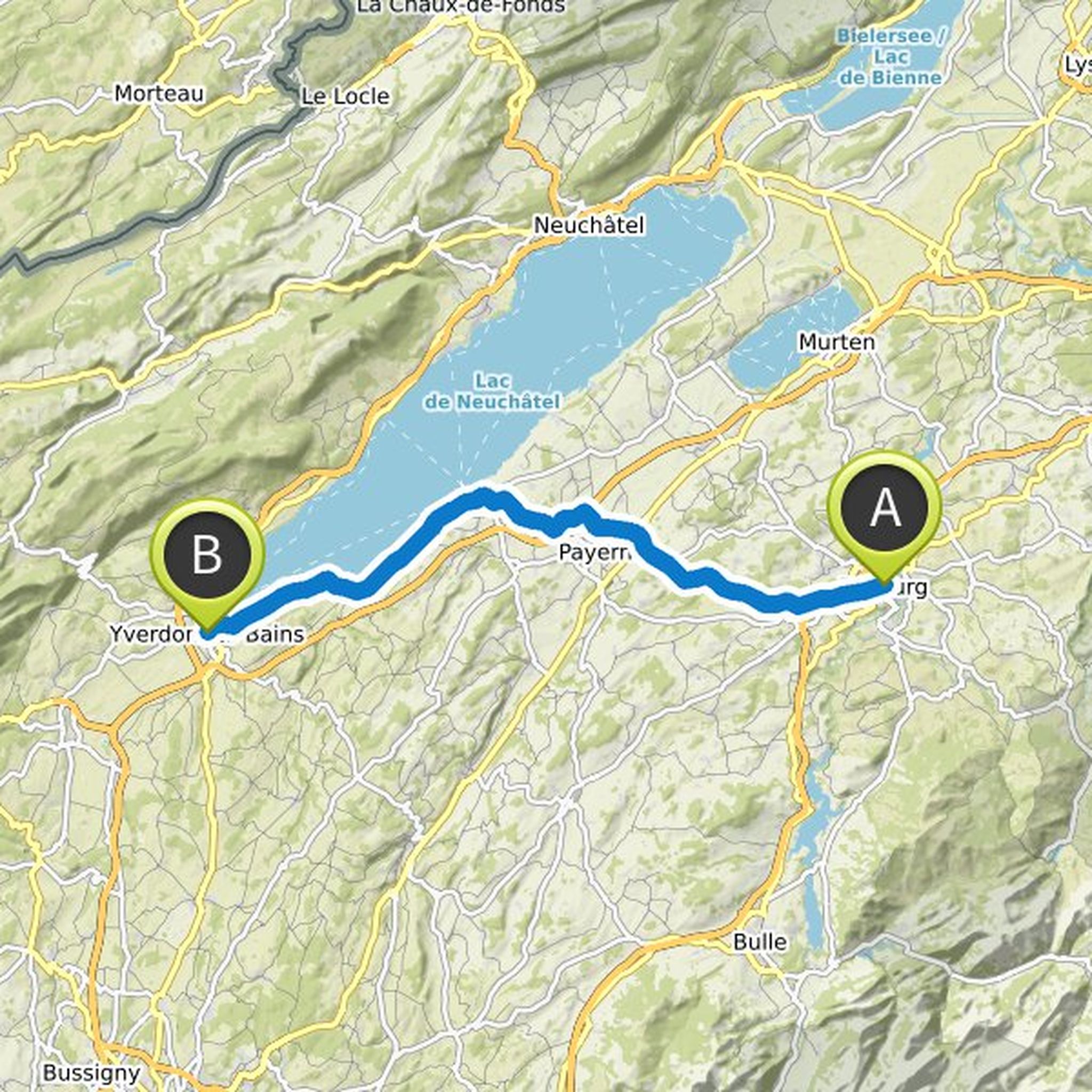
Chronik
jürg koller hat eine Wanderung geplant
9. Mai 2023
Dauer
Distanz
Geschwindigkeit
Aufstieg
Abstieg
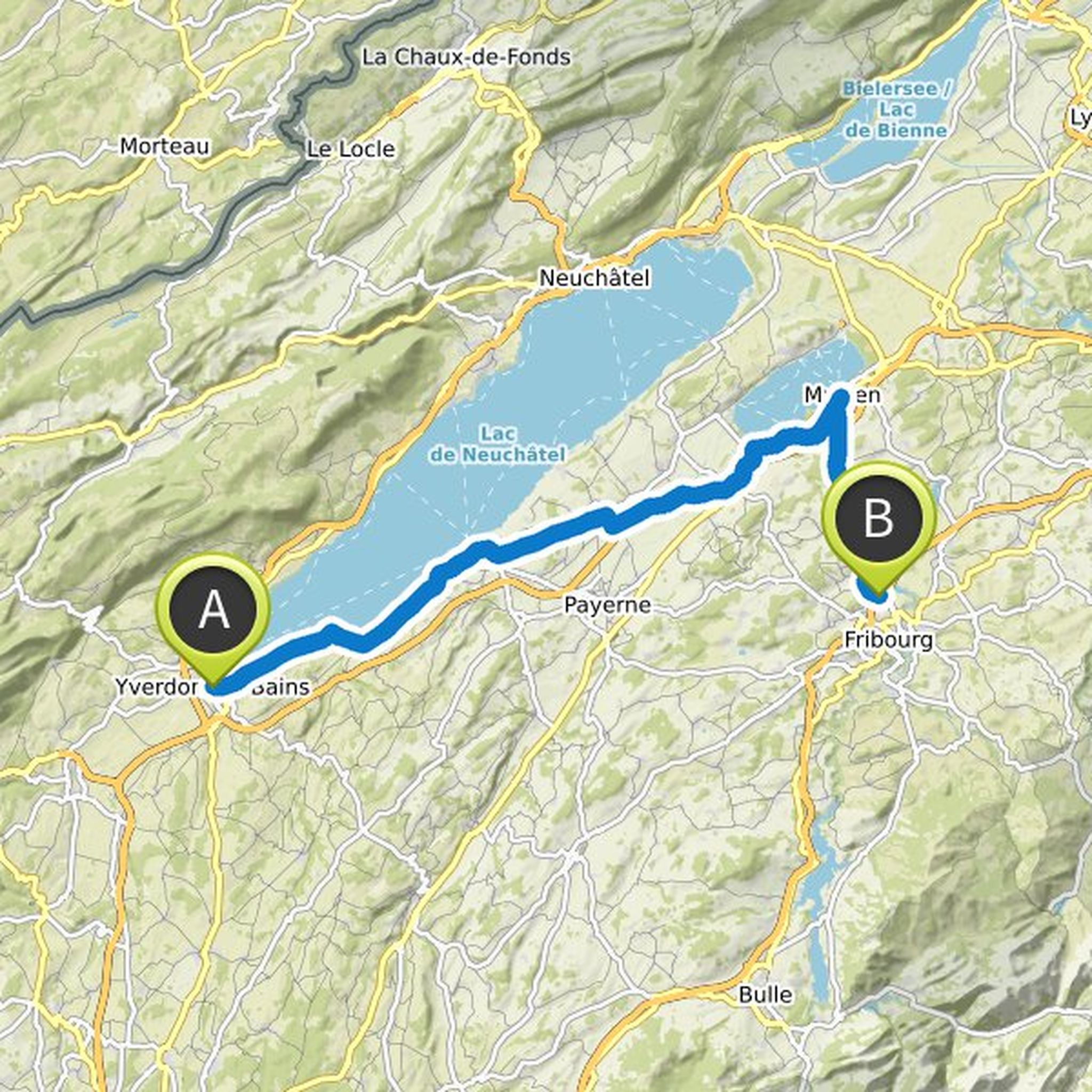
jürg koller und ALVO haben eine Radtour geplant
12. Juni 2021
Dauer
Distanz
Geschwindigkeit
Aufstieg
Abstieg

Oskar gefällt das.
jürg koller hat eine Radtour geplant
6. Juni 2021
Dauer
Distanz
Geschwindigkeit
Aufstieg
Abstieg

jürg koller und ALVO haben eine Radtour geplant
2. Juni 2021
Dauer
Distanz
Geschwindigkeit
Aufstieg
Abstieg

jürg koller hat eine Radtour geplant
2. Juni 2021
Dauer
Distanz
Geschwindigkeit
Aufstieg
Abstieg

jürg koller hat eine Radtour geplant
2. Juni 2021
Dauer
Distanz
Geschwindigkeit
Aufstieg
Abstieg

jürg koller hat eine Radtour geplant
2. Juni 2021
Dauer
Distanz
Geschwindigkeit
Aufstieg
Abstieg

jürg koller hat eine Radtour geplant
2. Juni 2021
Dauer
Distanz
Geschwindigkeit
Aufstieg
Abstieg

jürg koller hat eine E-Bike-Tour geplant
23. Mai 2021
Dauer
Distanz
Geschwindigkeit
Aufstieg
Abstieg
jürg koller hat eine E-Bike-Tour geplant
22. Mai 2021
Dauer
Distanz
Geschwindigkeit
Aufstieg
Abstieg

jürg koller hat eine E-Bike-Tour geplant
22. Mai 2021
Dauer
Distanz
Geschwindigkeit
Aufstieg
Abstieg
jürg koller hat eine E-Bike-Tour geplant
22. Mai 2021
Dauer
Distanz
Geschwindigkeit
Aufstieg
Abstieg

jürg koller hat eine E-Bike-Tour geplant
22. Mai 2021
Dauer
Distanz
Geschwindigkeit
Aufstieg
Abstieg

jürg koller hat eine E-Bike-Tour geplant
21. Mai 2021
Dauer
Distanz
Geschwindigkeit
Aufstieg
Abstieg

jürg koller hat eine E-Bike-Tour geplant
21. Mai 2021
Dauer
Distanz
Geschwindigkeit
Aufstieg
Abstieg
