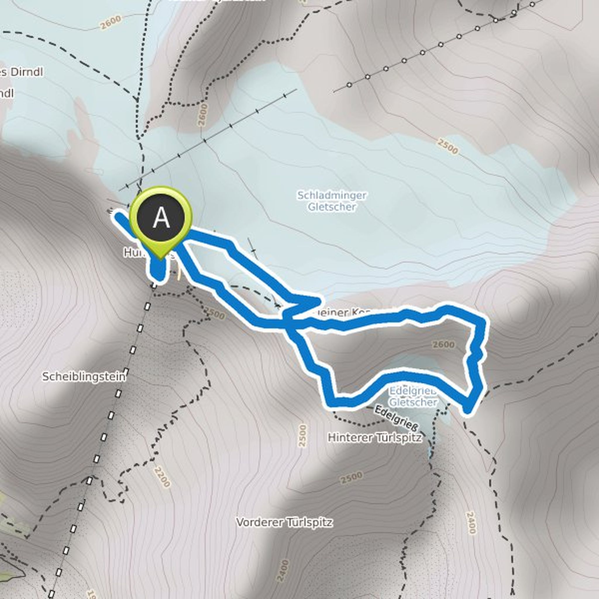
Chronik
irvanbach hat eine Wanderung geplant
28. Oktober 2022
Dauer
Distanz
Geschwindigkeit
Aufstieg
irvanbach hat eine Wanderung geplant
7. Juli 2022
Dauer
Distanz
Geschwindigkeit
Aufstieg
Abstieg
irvanbach hat eine Wanderung geplant
1. Juli 2022
Dauer
Distanz
Geschwindigkeit
Aufstieg
Abstieg
irvanbach hat eine Wanderung geplant
4. Mai 2022
Dauer
Distanz
Geschwindigkeit
Aufstieg
Abstieg
irvanbach hat eine Wanderung geplant
22. April 2022
Dauer
Distanz
Geschwindigkeit
Aufstieg
Abstieg
irvanbach hat eine Wanderung geplant
22. April 2022
Dauer
Distanz
Geschwindigkeit
Aufstieg
Abstieg
irvanbach hat eine Wanderung geplant
17. April 2022
Dauer
Distanz
Geschwindigkeit
Aufstieg
Abstieg
irvanbach hat eine Wanderung geplant
23. Februar 2022
Dauer
Distanz
Geschwindigkeit
Aufstieg
Abstieg

irvanbach hat eine Wanderung geplant
23. Februar 2022
Dauer
Distanz
Geschwindigkeit
Aufstieg
Abstieg

irvanbach hat eine Wanderung geplant
23. Februar 2022
Dauer
Distanz
Geschwindigkeit
Aufstieg
Abstieg

irvanbach hat eine Wanderung geplant
23. Februar 2022
Dauer
Distanz
Geschwindigkeit
Aufstieg
Abstieg
irvanbach hat eine Wanderung geplant
30. Januar 2022
Dauer
Distanz
Geschwindigkeit
Aufstieg
Abstieg

irvanbach hat eine Wanderung geplant
2. Juli 2021
Dauer
Distanz
Geschwindigkeit
Aufstieg
Abstieg

irvanbach hat eine Mountainbike-Tour geplant
19. Juni 2021
Dauer
Distanz
Geschwindigkeit
Aufstieg
Abstieg

irvanbach hat eine Wanderung geplant
4. Juni 2021
Dauer
Distanz
Geschwindigkeit
Aufstieg
Abstieg
