Tidslinje
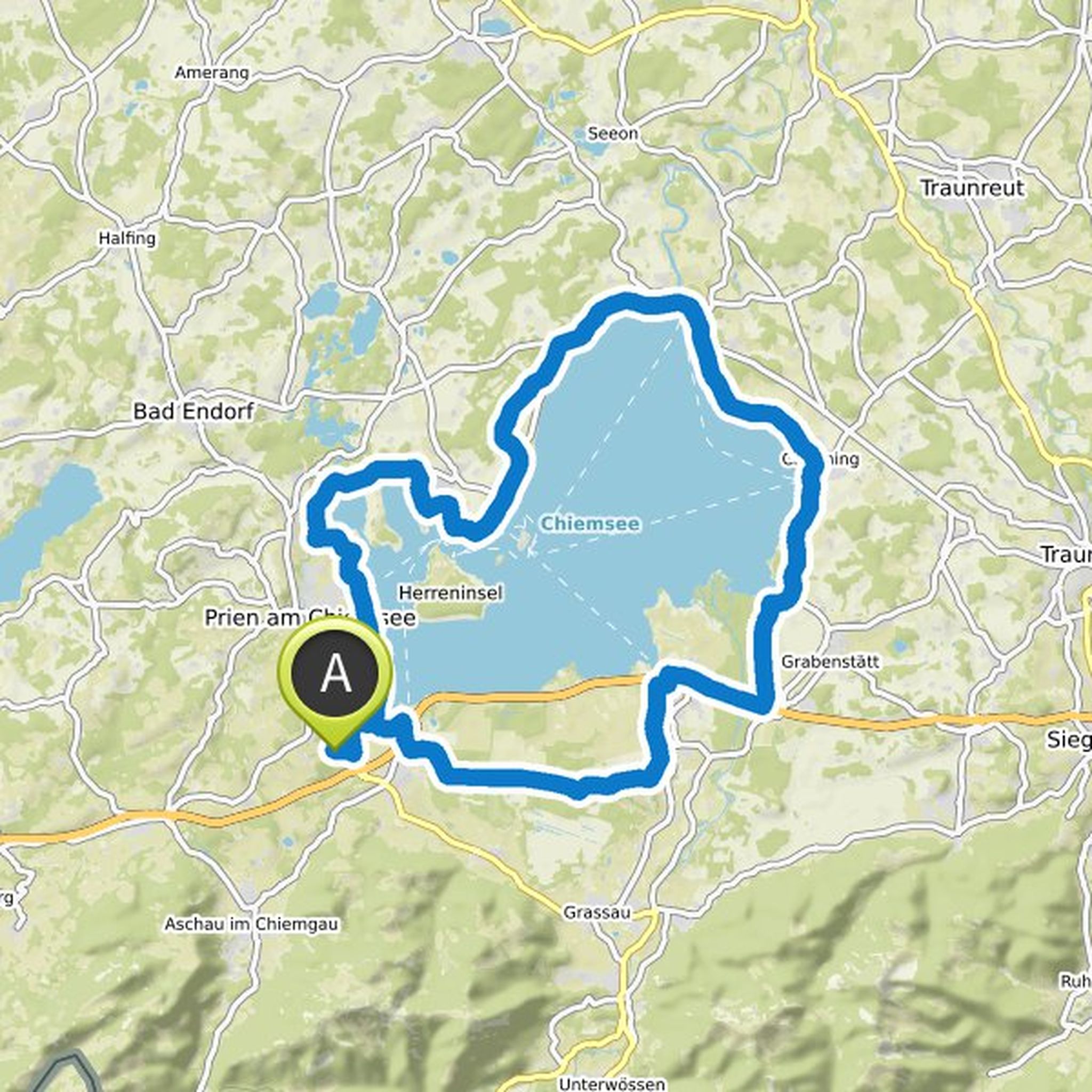
Er52 og andre planlagde en tur på elcykel
4. maj 2024
Tid
Afstand
Hastighed
Stigning
Nedstigning
Er52 og andre planlagde en cykeltur
10. april 2024
Tid
Afstand
Hastighed
Stigning
Nedstigning
Er52 planlagde en cykeltur
12. juni 2023
Tid
Afstand
Hastighed
Stigning
Nedstigning
Er52 planlagde en vandretur
4. oktober 2022
Tid
Afstand
Hastighed
Stigning
Nedstigning
Er52 planlagde en cykeltur
3. september 2022
Tid
Afstand
Hastighed
Stigning
Nedstigning
Tid
Afstand
Hastighed
Stigning
Nedstigning
Tid
Afstand
Hastighed
Stigning
Nedstigning
Tid
Afstand
Hastighed
Stigning
Nedstigning
Er52 planlagde en cykeltur
26. maj 2022
Tid
Afstand
Hastighed
Stigning
Nedstigning
Tid
Afstand
Hastighed
Stigning
Nedstigning
Tid
Afstand
Hastighed
Stigning
Nedstigning
Er52 planlagde en cykeltur
26. maj 2022
Tid
Afstand
Hastighed
Stigning
Nedstigning
Tid
Afstand
Hastighed
Stigning
Nedstigning

Kay og andre planlagde en cykeltur
21. september 2021
Tid
Afstand
Hastighed
Stigning
Nedstigning
Tid
Afstand
Hastighed
Stigning
Nedstigning
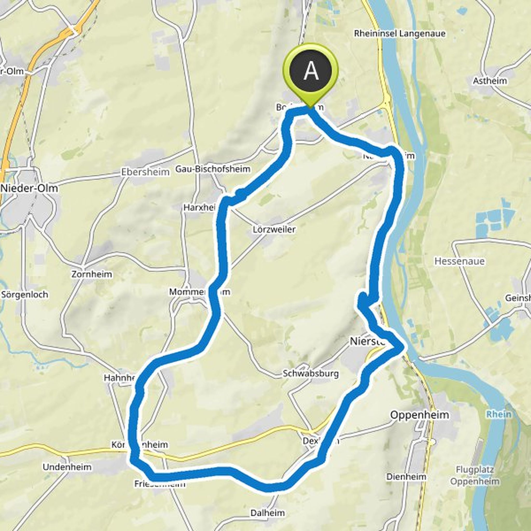
26. maj 2022
Starting point: parking lot at the Waldfriedhof Vincenzstr. Hofheim
Oversat af Google •