Tidslinje
Curry planlagde en tur på elcykel
7. oktober 2022
Tid
0h41m
Afstand
12,0km
Hastighed
17,4km/h
Stigning
70m
Nedstigning
400m
Kortdata © OpenStreetMap-bidragere
Curry planlagde en tur på elcykel
26. august 2022
Tid
4h34m
Afstand
69,5km
Hastighed
15,2km/h
Stigning
440m
Nedstigning
330m
Kortdata © OpenStreetMap-bidragere
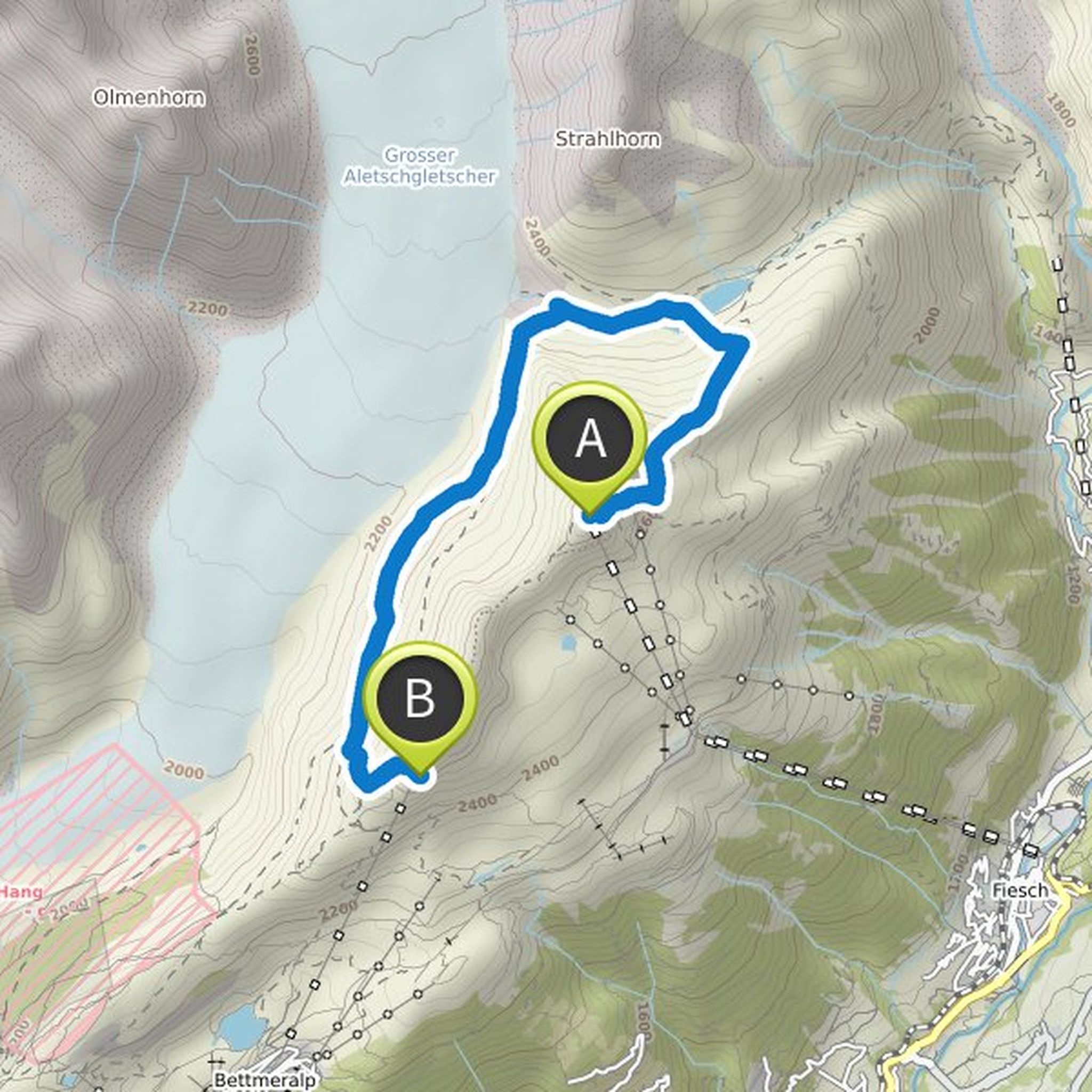
Curry planlagde en vandretur
3. august 2019
Tid
4h04m
Afstand
9,34km
Hastighed
2,3km/h
Stigning
400m
Nedstigning
620m
Kortdata © OpenStreetMap-bidragere
3. august 2019
The upper path along the glacier to the bettmerhorn is unfortunately closed due to no permafrost, so the tour takes a bit longer than planned ... last cable car leaves at 16.30!
Oversat af Google •
Curry planlagde en vandretur
2. august 2019
Tid
3h34m
Afstand
8,27km
Hastighed
2,3km/h
Stigning
340m
Nedstigning
560m

Kortdata © OpenStreetMap-bidragere
Curry planlagde en vandretur
11. januar 2019
Tid
4h13m
Afstand
7,78km
Hastighed
1,8km/h
Stigning
940m
Nedstigning
60m

Kortdata © OpenStreetMap-bidragere
Curry planlagde en vandretur
10. januar 2019
Tid
4h46m
Afstand
9,31km
Hastighed
1,9km/h
Stigning
1.020m
Nedstigning
20m

Kortdata © OpenStreetMap-bidragere
7. oktober 2022
Super nice tour .. But in between mountain bike necessary
Oversat af Google •