Vi værner om dit privatliv ⛰️
Vi bruger cookies, som er nødvendige for, at appen og webstedet fungerer korrekt, eller som bruges til at generere aggregerede statistikker. Med dit samtykke vil vi og vores tredjepartspartnere også bruge tracking-teknologier til at forbedre oplevelsen i appen og navigationen samt give dig personlige tjenester og indhold. For at give samtykke skal du trykke på Accepter alle cookies.
Alternativt kan du tilpasse dine indstillinger ved at trykke på Tilpas indstillinger, eller ved når som helst at gå til cookieindstillinger. Hvis du ikke ønsker, at vi bruger ikke-tekniske tracking-teknologier, skal du trykke på Afvis.
For mere information om, hvordan vi behandler dine personoplysninger gennem cookies, se vores Privatlivspolitik.
12. maj 2024
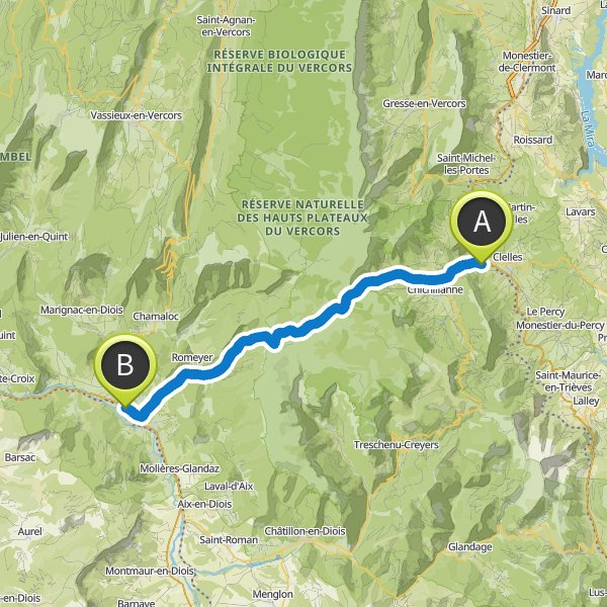
Hello, trace made this weekend. The wish was to follow the direction Die > Clelles over 26km (sources checked upstream on the route). ATTENTION: by switching to navigation mode the track increases to 33km with 2000 d+, and no source present from Die to Col de Bachasson, i.e. 25 km!
Oversat af Google •