Tidslinje
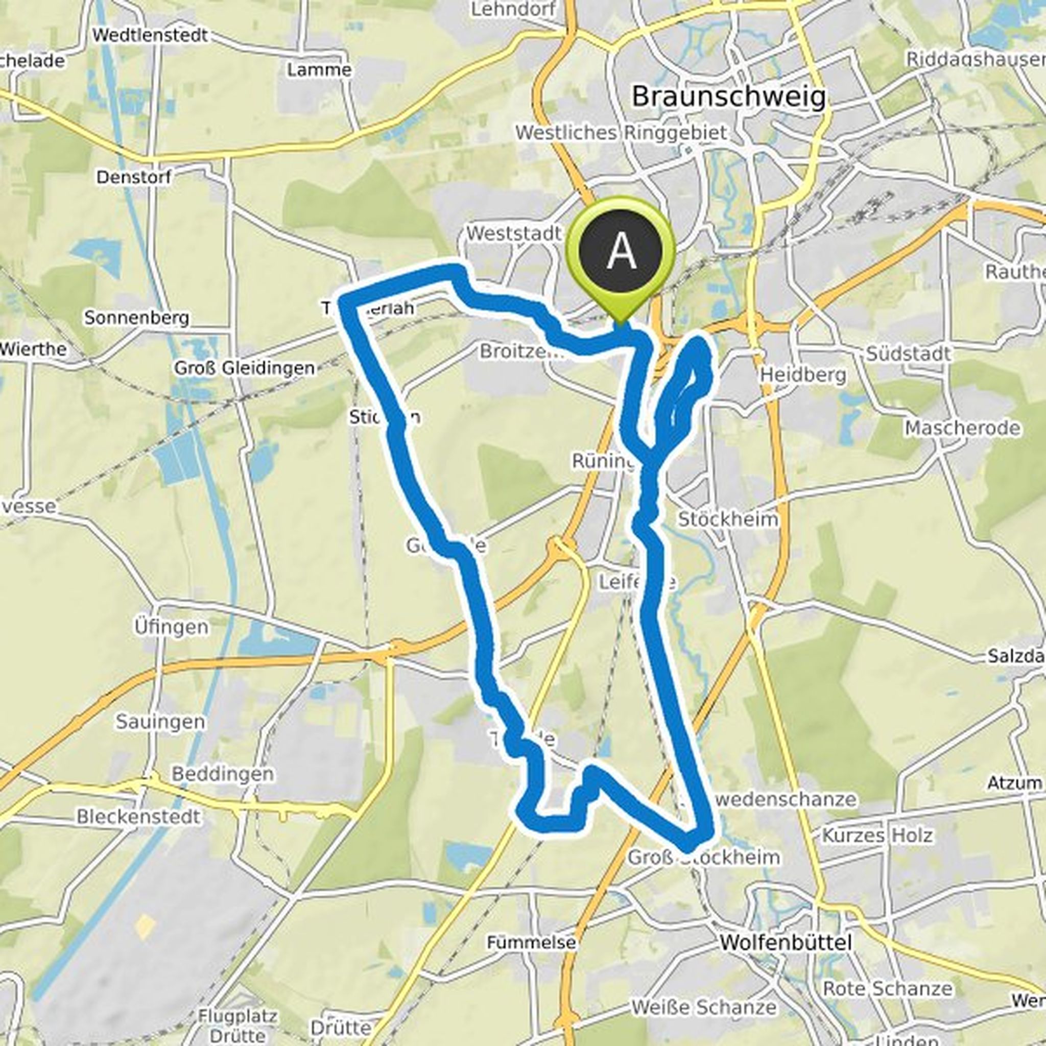
Telanion planlagde en cykeltur
7. august 2021
Tid
Afstand
Hastighed
Stigning
Nedstigning
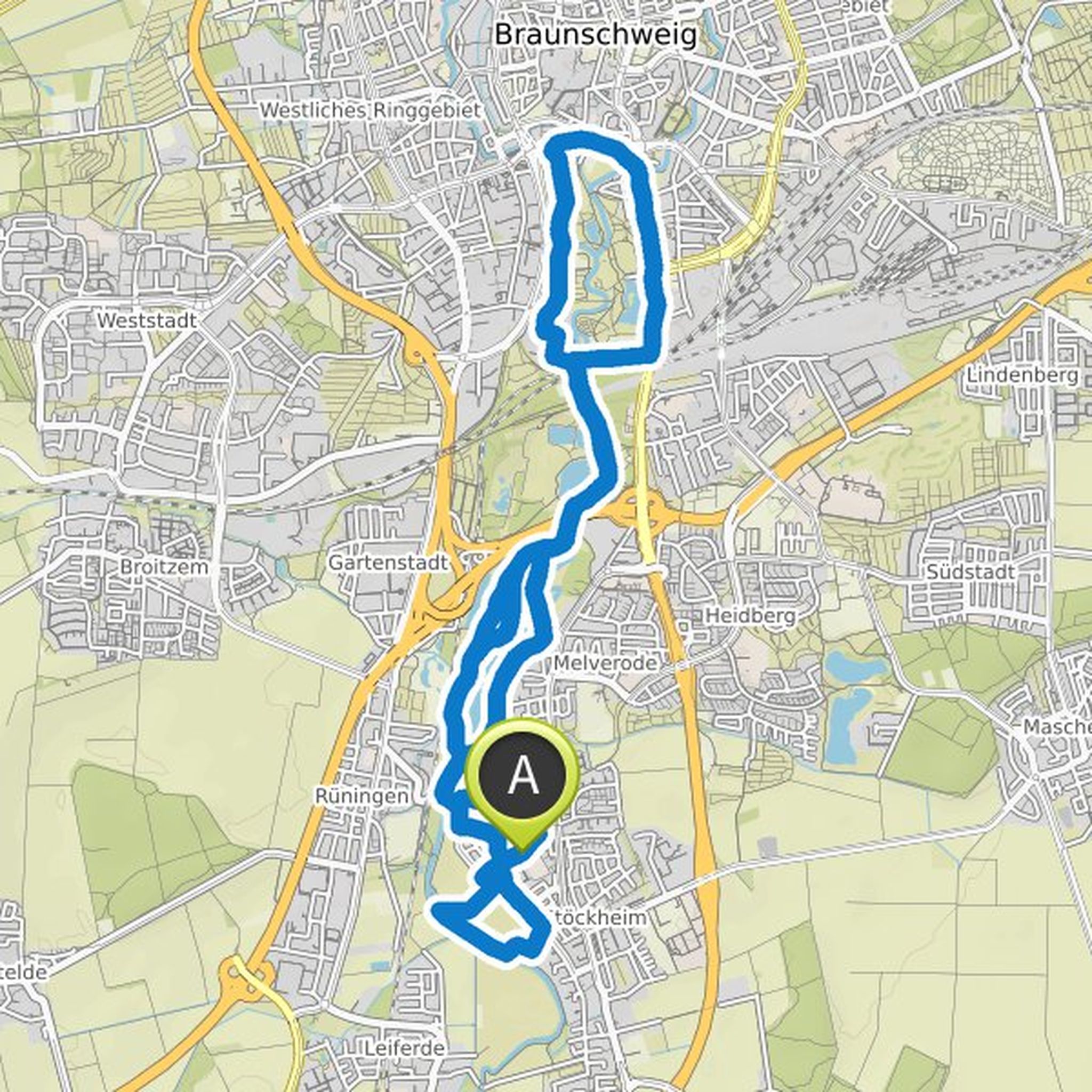
Telanion planlagde en cykeltur
7. august 2021
Tid
Afstand
Hastighed
Stigning
Nedstigning

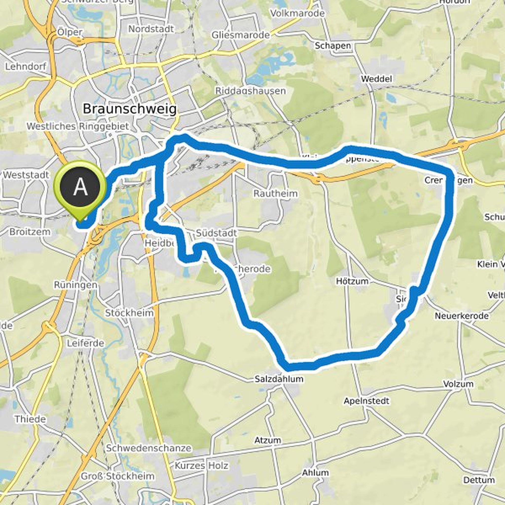
Telanion planlagde en cykeltur
7. august 2021
Tid
Afstand
Hastighed
Stigning
Nedstigning

Telanion planlagde en cykeltur
7. august 2021
Tid
Afstand
Hastighed
Stigning
Nedstigning

Telanion planlagde en cykeltur
25. juni 2021
Tid
Afstand
Hastighed
Stigning
Nedstigning

Telanion planlagde en cykeltur
25. juni 2021
Tid
Afstand
Hastighed
Stigning
Nedstigning

Telanion planlagde en cykeltur
25. juni 2021
Tid
Afstand
Hastighed
Stigning
Nedstigning
Telanion planlagde en cykeltur
25. juni 2021
Tid
Afstand
Hastighed
Stigning
Nedstigning

Telanion planlagde en cykeltur
25. juni 2021
Tid
Afstand
Hastighed
Stigning
Nedstigning
Telanion planlagde en cykeltur
25. juni 2021
Tid
Afstand
Hastighed
Stigning
Nedstigning

Telanion planlagde en cykeltur
25. juni 2021
Tid
Afstand
Hastighed
Stigning
Nedstigning

Telanion planlagde en cykeltur
25. juni 2021
Tid
Afstand
Hastighed
Stigning
Nedstigning

Telanion planlagde en cykeltur
25. juni 2021
Tid
Afstand
Hastighed
Stigning
Nedstigning

Telanion planlagde en cykeltur
25. juni 2021
Tid
Afstand
Hastighed
Stigning
Nedstigning

Telanion planlagde en cykeltur
25. juni 2021
Tid
Afstand
Hastighed
Stigning
Nedstigning
