Tidslinje
Randi planlagde en cykeltur
27. august 2020
Tid
Afstand
Hastighed
Stigning
Nedstigning

Randi planlagde en vandretur
7. juli 2020
Tid
Afstand
Hastighed
Stigning
Nedstigning

Randi planlagde en tur på elcykel
27. juni 2020
Tid
Afstand
Hastighed
Stigning
Nedstigning

Randi planlagde en tur på elcykel
27. juni 2020
Tid
Afstand
Hastighed
Stigning
Nedstigning

Randi planlagde en tur på elcykel
27. juni 2020
Tid
Afstand
Hastighed
Stigning
Nedstigning

Randi planlagde en tur på elcykel
27. juni 2020
Tid
Afstand
Hastighed
Stigning
Nedstigning
Randi planlagde en tur på elcykel
27. juni 2020
Tid
Afstand
Hastighed
Stigning
Nedstigning

Randi planlagde en tur på elcykel
27. juni 2020
Tid
Afstand
Hastighed
Stigning
Nedstigning
Randi planlagde en tur på elcykel
27. juni 2020
Tid
Afstand
Hastighed
Stigning
Nedstigning

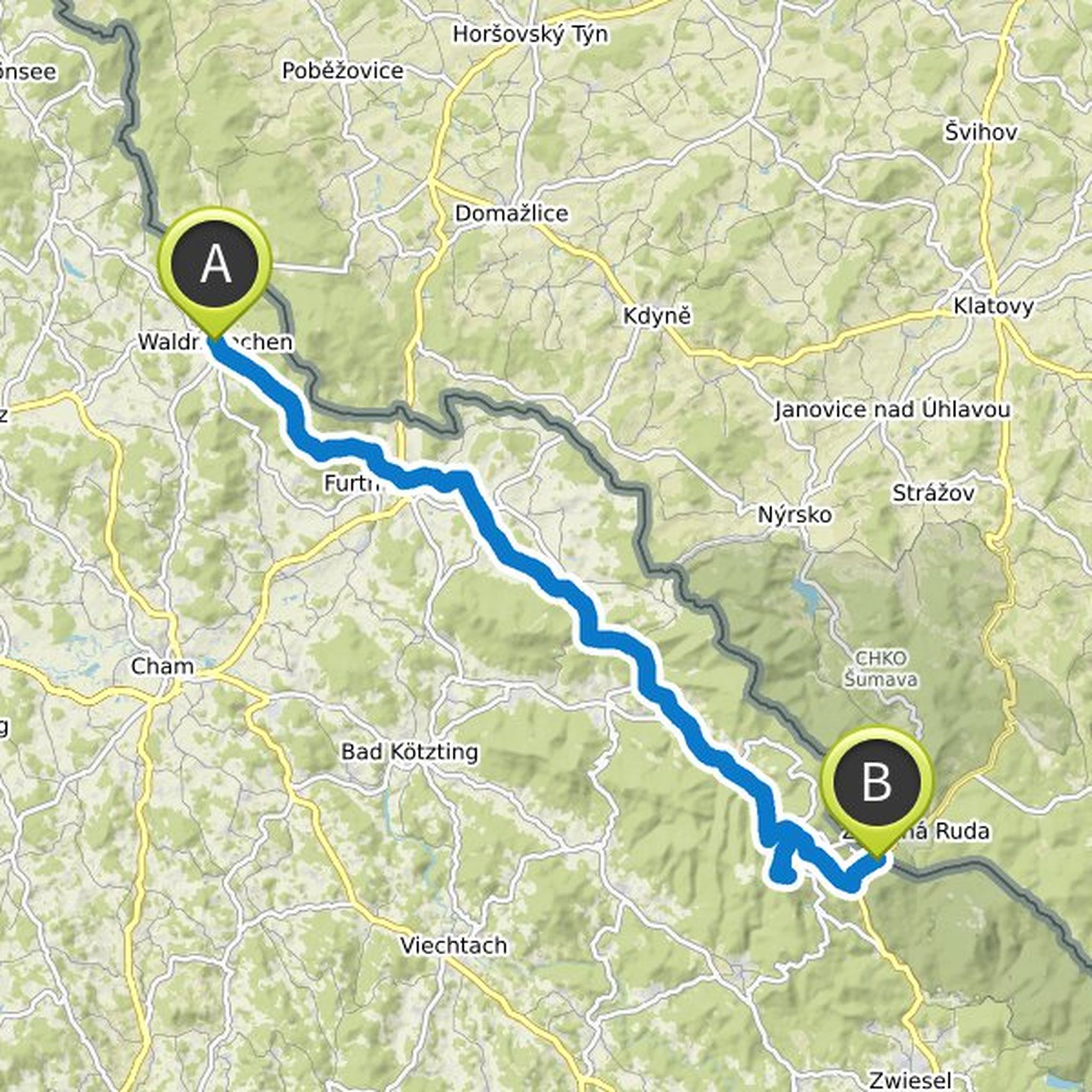
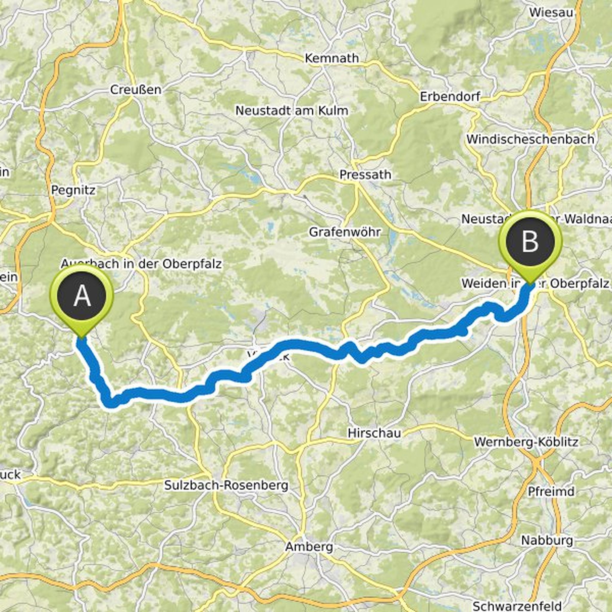
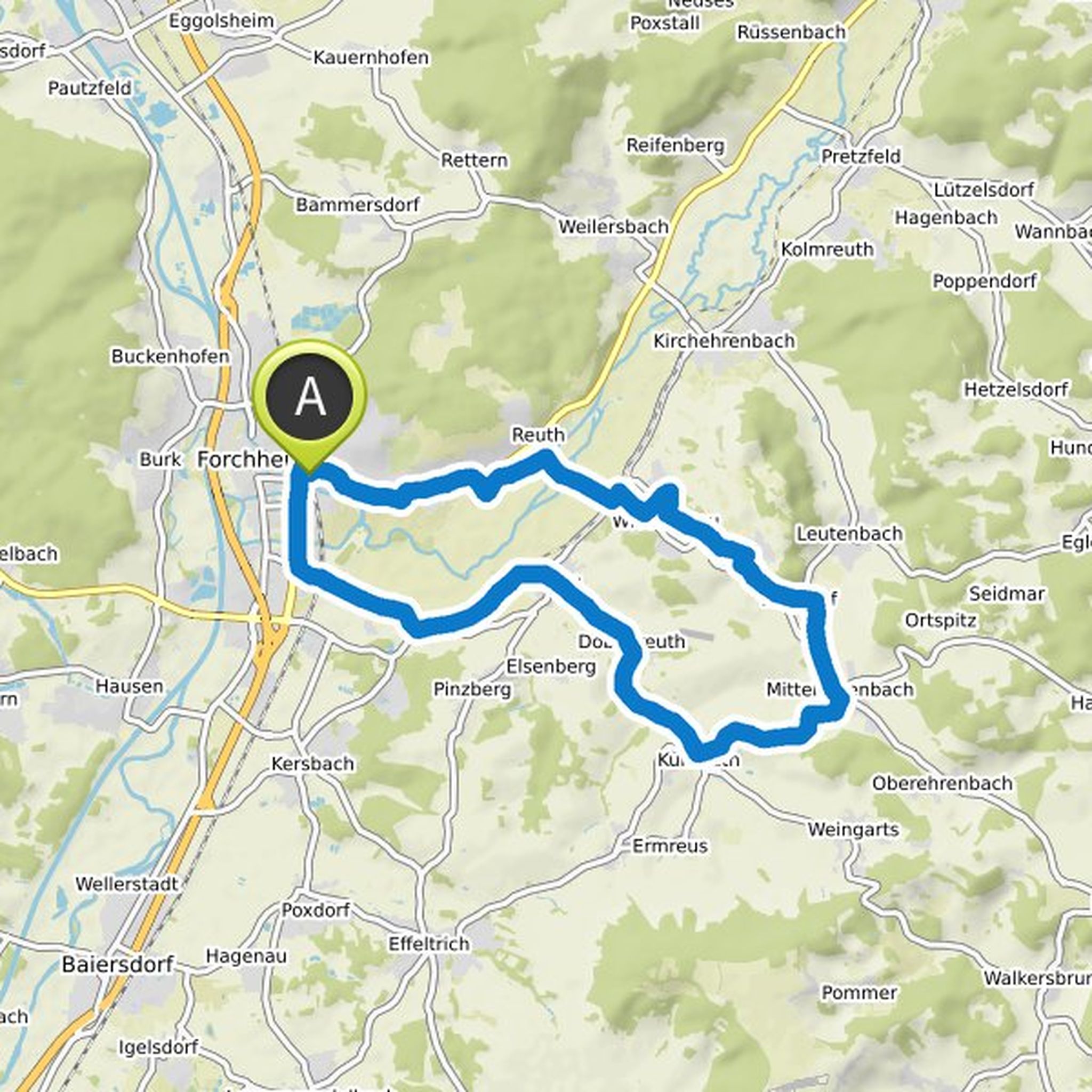
Randi planlagde en cykeltur
27. juni 2020
Tid
Afstand
Hastighed
Stigning
Nedstigning

Randi planlagde en cykeltur
27. juni 2020
Tid
Afstand
Hastighed
Stigning
Nedstigning
Randi planlagde en cykeltur
27. juni 2020
Tid
Afstand
Hastighed
Stigning
Nedstigning
Randi planlagde en cykeltur
27. juni 2020
Tid
Afstand
Hastighed
Stigning
Nedstigning

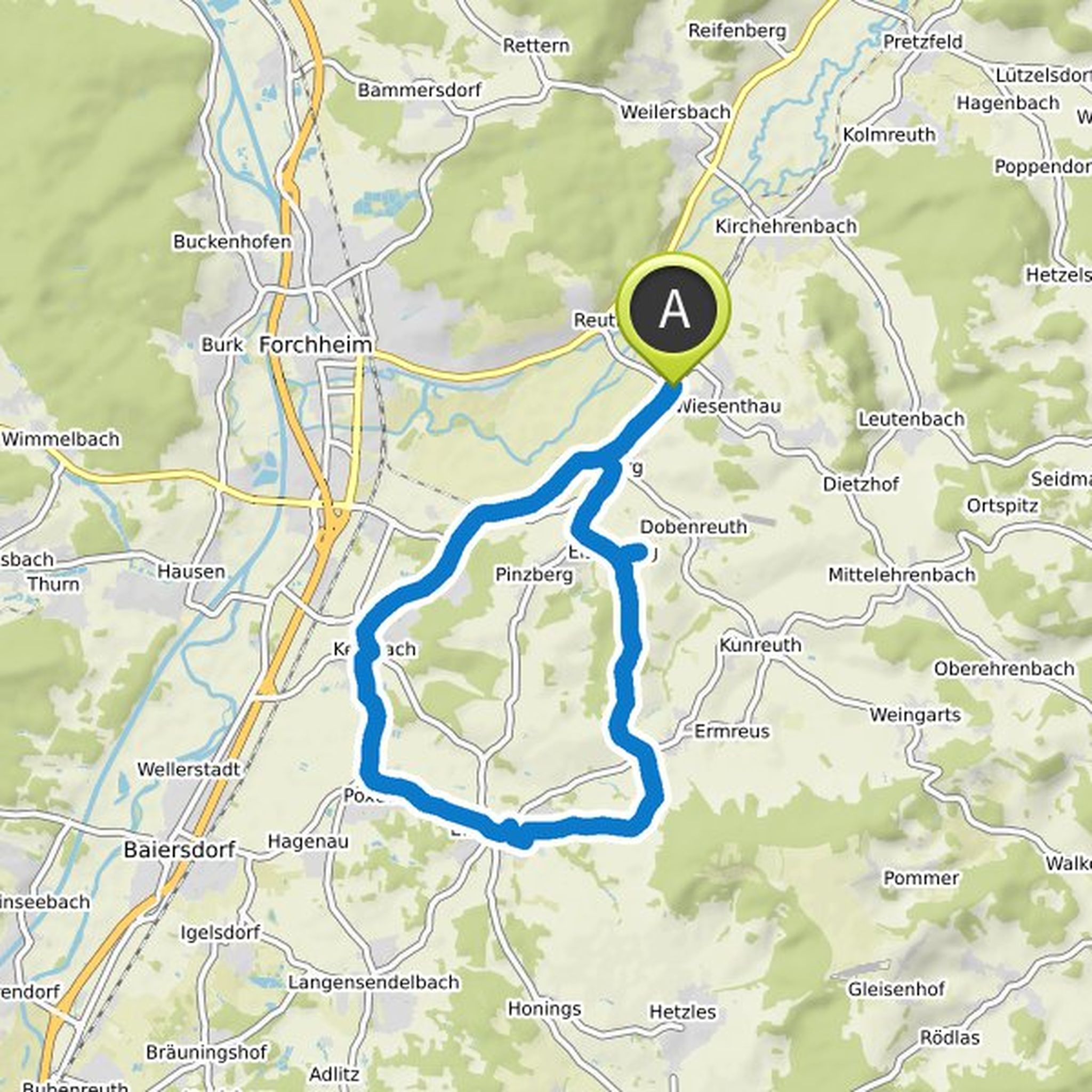
Randi planlagde en cykeltur
27. juni 2020
Tid
Afstand
Hastighed
Stigning
Nedstigning
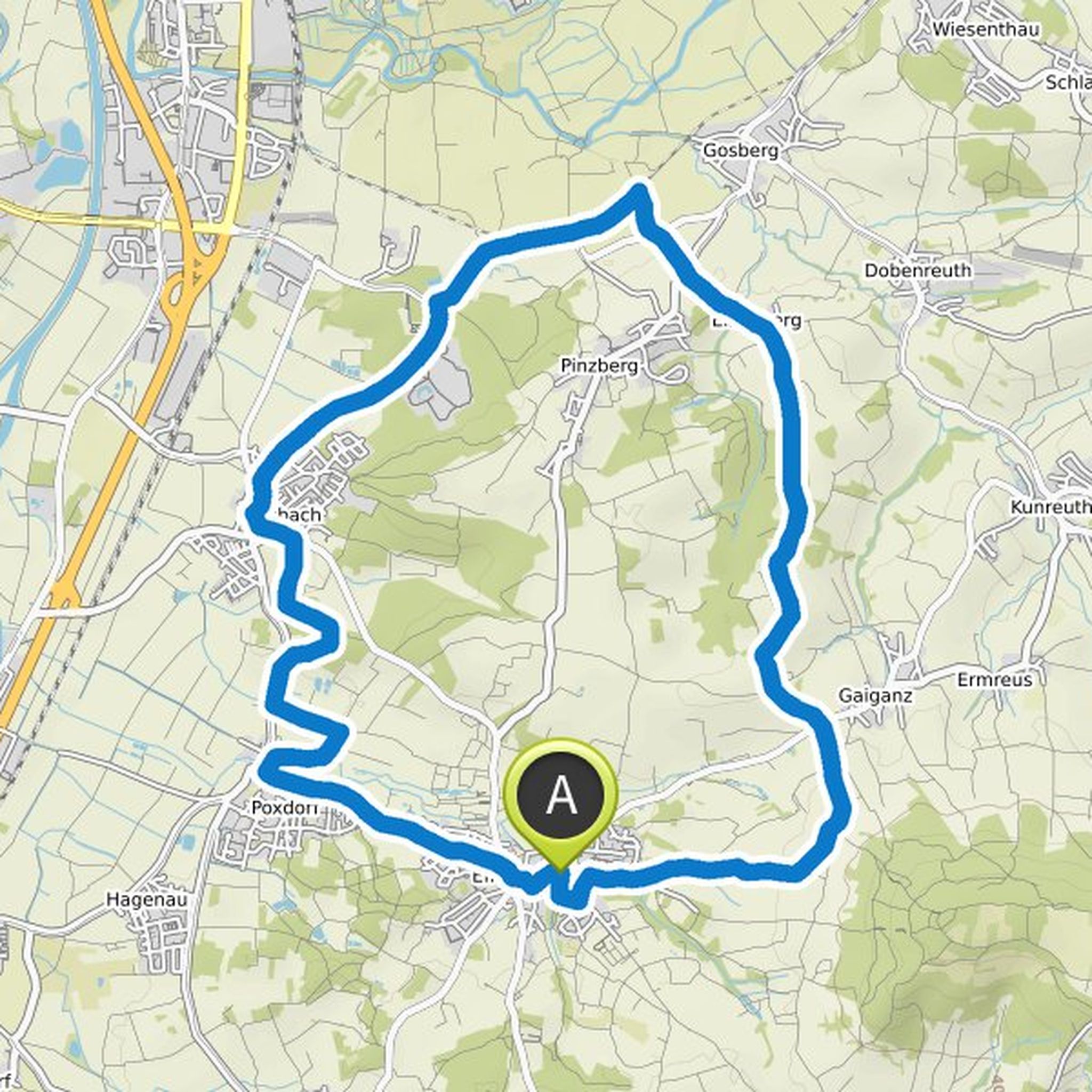
Randi planlagde en cykeltur
16. maj 2020
Tid
Afstand
Hastighed
Stigning
Nedstigning
