Timeline
Theresa planned a hike
August 13, 2022
Time
Distance
Speed
Ascent
Descent
Theresa planned a hike
August 13, 2022
Time
Distance
Speed
Ascent
Descent
Theresa planned a hike
August 13, 2022
Time
Distance
Speed
Ascent
Descent
Theresa planned a hike
August 13, 2022
Time
Distance
Speed
Ascent
Descent
Theresa planned a hike
August 8, 2022
Time
Distance
Speed
Ascent
Descent
Theresa planned a hike
August 8, 2022
Time
Distance
Speed
Ascent
Descent
Theresa planned a hike
August 2, 2022
Time
Distance
Speed
Ascent
Descent
Theresa planned a hike
August 2, 2022
Time
Distance
Speed
Ascent
Descent
Theresa planned a hike
August 2, 2022
Time
Distance
Speed
Ascent
Descent
Theresa planned a hike
August 2, 2022
Time
Distance
Speed
Ascent
Descent
Theresa planned a mountain bike ride
April 26, 2022
Time
Distance
Speed
Ascent
Descent
Theresa planned a mountain bike ride
February 16, 2022
Time
Distance
Speed
Ascent
Descent

Theresa planned a mountain bike ride
February 16, 2022
Time
Distance
Speed
Ascent
Descent

Theresa planned a mountain bike ride
February 16, 2022
Time
Distance
Speed
Ascent
Descent

Theresa planned a mountain bike ride
February 12, 2022
Time
Distance
Speed
Ascent
Descent
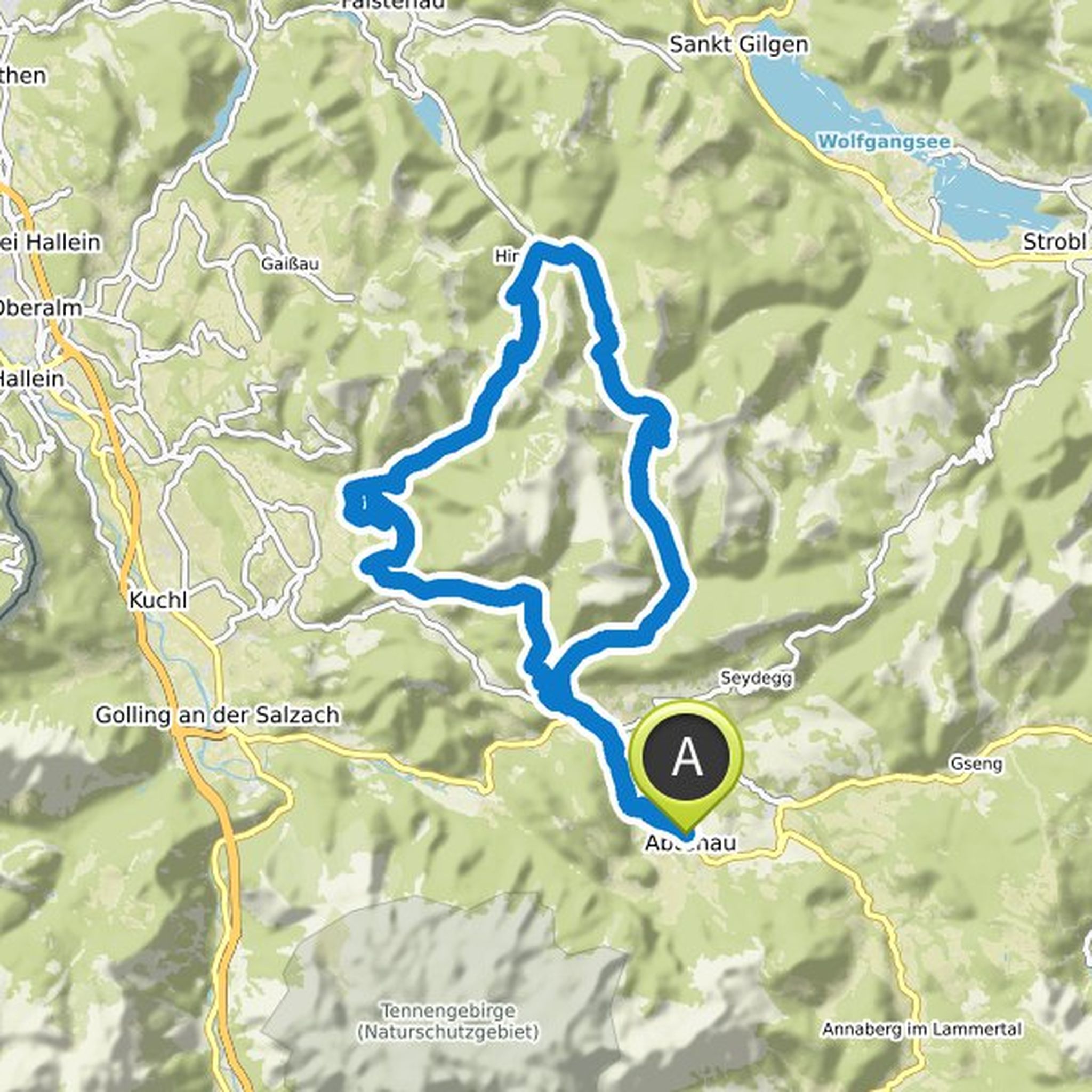
April 26, 2022
Our tour tip for you is the Postalm tour. With 45 kilometers and 1,200 meters in altitude, this round is quite demanding. However, the technical driving requirements are not too high and you get a good impression of the region and discover the largest alpine pasture area in Austria with the Postalm.
From
Translated by Google •