En iyi 4 kanyon Wassertrüdingen
Kanyonlar inanılmaz güzel yerlerdir ve Wassertrüdingen 4
kanyon arasından seçim yapabilirsiniz. En iyi kanyonların listesine göz atın, fotoğrafları, ipuçlarını ve ek bilgileri inceleyin — ve bir sonraki maceranızda bu güzel yerlerden birini ziyaret edin Wassertrüdingen .
Son güncelleme: 24 Temmuz 2026
Hechlinger Hohlweg
Highlight • Boğaz
Çeviren Google •
İpucu —

Hohlweg bei Hechlingen
Highlight • Boğaz
Çeviren Google •
İpucu —

Böyle yerleri keşfetmek için şimdi kaydol
En iyi single trackler, zirveler ve başka birçok heyecan verici açık hava mekânı için öneriler al.
Ücretsiz kaydol
Old Quarry with Waterfall
Highlight • Şelale
Çeviren Google •
İpucu —

Mauchtal Valley
Highlight • Boğaz
Çeviren Google •
İpucu —

Absolut sehenswerter Hechlinger Hohlweg
Highlight (Segment) • Boğaz
Çeviren Google •
İpucu —

Bugün ücretsiz bir hesapla başla
Sıradaki maceran seni bekliyor.
Giriş yap veya kaydol
Wassertrüdingen çevresinde popüler
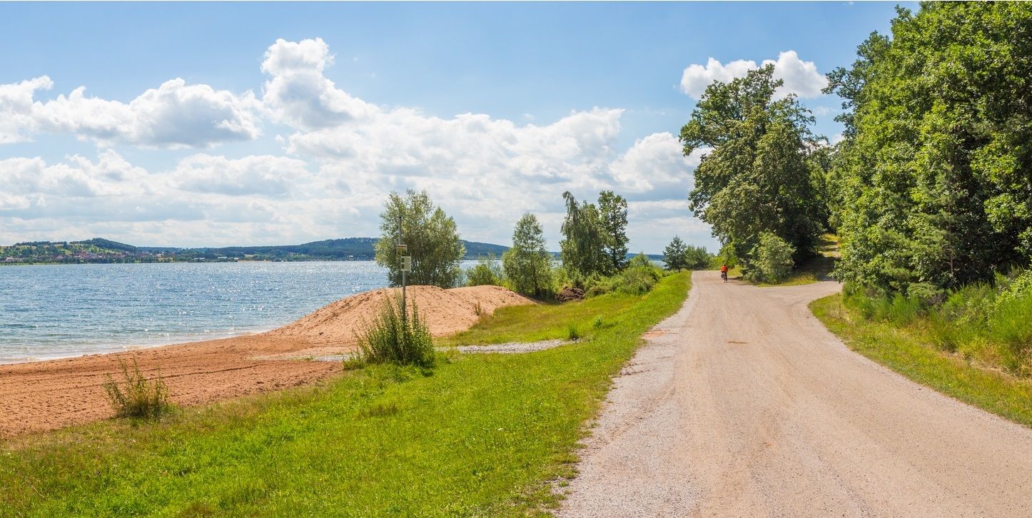
The Franconian Water Bike Path – 8 days of creeks, lakes & rivers
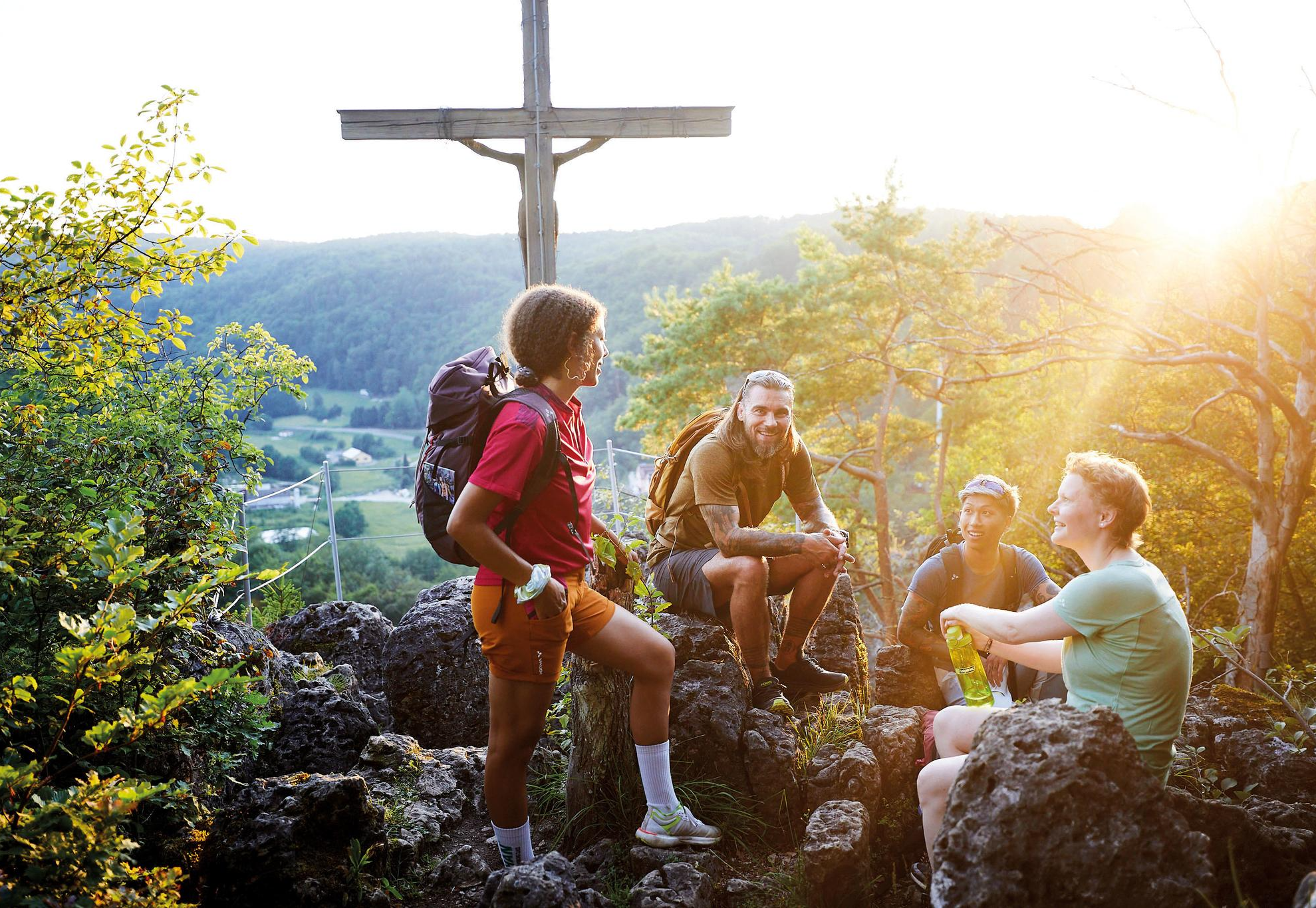
City, country, lake – VGN leisure tips 2025
Bisiklet rotaları Wassertrüdingen
Yürüyüş rotaları Wassertrüdingen
Yol bisikleti rotaları Wassertrüdingen
Dağ bisikleti rotaları Wassertrüdingen
Koşu rotaları Wassertrüdingen

Gravel rotaları Wassertrüdingen


Topluluktan ipuçları

Arberg (Landkreis Ansbach) yakınlarındaki Distelbuck'taki eski taş ocağı, günümüzde popüler bir yürüyüş noktası ve seyir terası olarak kullanılan Üst Burgsandstein'ın eski bir çıkarım yeridir. Distelbuck'un kendisi, Arberg pazarının güneyinde yer alan ve yaklaşık 500 metre yüksekliğe ulaşan bir yükseltidir. Burada, Keuper dönemine ait, bölgesel olarak tipik, ince taneli Burgsandstein çıkarılmıştır. Eskiden bölge, bölge için yapı malzemesi elde etmek amacıyla kullanılıyordu. Faaliyetin durdurulmasından sonra doğa araziyi büyük ölçüde geri almıştır. Karakteristik flora ve faunaya sahip değerli bir biyotop gelişmiştir. Taş ocağının üst kenarından, Arberg çevresinin geniş ve güzel manzarası sunulmaktadır.
0
0

At 250 m long and up to 9 m deep, it is an impressive ravine. Absolutely worth seeing. - ! ! A detour here is worthwhile ! ! - You can ride it in both directions. But it would be better to ride from above, i.e. coming from the east. Then you just have to let the bike run. But we came from below the first time.
2
0

Idyllically located and a welcome source of shade on a hot summer tour
0
0

Beautiful ravine with a gate at the entrance and exit
3
0

The trees find their way
2
0

The ravine used to be an intensively used path. Cattle and carts commuted daily between the village and the farm or farm. pastures.
2
0
Water flows downhill, taking sand with it by weathering the rock. so a channel was formed, which deepened more and more. When people then began to settle in Hechlingen, they drove their cows and sheep up the ravine to the pastures. The claws of the animals churned up the ground and the rainwater washed away the material. then carts came to pick up the harvest from the fields. And so it went on year after year.
1
0

It used to be one of the main routes from Hechlingen to the fields and pastures on the Kapellenberg. Today, an educational trail leads through the Hechlinger Hohlweg to the ruins of the Katharinenkapell
2
0
En popüler rotalar Wassertrüdingen
En popüler cazibe noktaları Wassertrüdingen

Komoot mobil uygulamasıyla ilham al


Daha fazlasını keşfet
Bu bölgede her şeyi keşfettin mi? Bir sonraki maceran için ek kanyonları gör Wassertrüdingen :
