Cele mai bune trasee MTB în Περιφερειακή Ενότητα Χανίων
4,6
(220)
843
Bicicliști
78
Trasee
Mountain bike în Περιφερειακή Ενότητα Χανίων este una dintre cele mai bune modalități de a explora mai mult din această zonă din Grecia. Pentru a te ajuta să experimentezi ce are mai bun de oferit regiunea, am analizat întreaga noastră colecție de trasee mountain bike. Dă click pe orice traseu pentru a vedea sfaturile și fotografiile împărtășite de alți membri ai comunității komoot — și găsește traseul mtb perfect pentru următoarea ta tură.
Ultima actualizare: 15 iulie 2026
4,6
(23)
69
Bicicliști
50,0km
03:17
710m
710m
Tură moderată cu mountain bike. Necesită o bună condiție fizică. Potrivit pentru toate nivelurile de experiență.
4,9
(15)
69
Bicicliști
Tură dificilă cu mountain bike. Necesită o condiție fizică foarte bună. Potrivit pentru toate nivelurile de experiență.

Înscrie‑te gratuit
4,4
(7)
39
Bicicliști
24,6km
02:12
450m
450m
Tură moderată cu mountain bike. Necesită o bună condiție fizică. Potrivit pentru toate nivelurile de experiență.
4,8
(10)
40
Bicicliști
42,4km
03:15
720m
720m
Tură moderată cu mountain bike. Necesită o bună condiție fizică. Potrivit pentru toate nivelurile de experiență.
4,9
(8)
28
Bicicliști
Tură moderată cu mountain bike. Necesită o bună condiție fizică. Potrivit pentru toate nivelurile de experiență.
5,0
(4)
24
Bicicliști
46,3km
03:21
850m
850m
Tură moderată cu mountain bike. Necesită o bună condiție fizică. Potrivit pentru toate nivelurile de experiență.
5,0
(3)
19
Bicicliști
44,0km
03:04
770m
770m
Tură moderată cu mountain bike. Necesită o bună condiție fizică. Potrivit pentru toate nivelurile de experiență.
4,5
(8)
31
Bicicliști
Tură moderată cu mountain bike. Necesită o bună condiție fizică. Potrivit pentru toate nivelurile de experiență.
4,5
(12)
29
Bicicliști
22,4km
01:42
510m
510m
Tură moderată cu mountain bike. Necesită o bună condiție fizică. Potrivit pentru toate nivelurile de experiență.
10
Bicicliști
41,9km
03:24
930m
930m
Tură dificilă cu mountain bike. Necesită o condiție fizică foarte bună. Potrivit pentru toate nivelurile de experiență.
Obține acces la mai multe trasee și recomandări de la alți exploratori.
Înscrie‑te gratuit
Ai deja un cont?
Recomandările noastre de trasee se bazează pe mii de drumeții, ture și alergări realizate de alți utilizatori pe komoot.
Începe azi cu un cont gratuit
Următoarea ta aventură te așteaptă.
Conectează‑te sau înregistrează‑te
Popular în jurul Περιφερειακή Ενότητα Χανίων
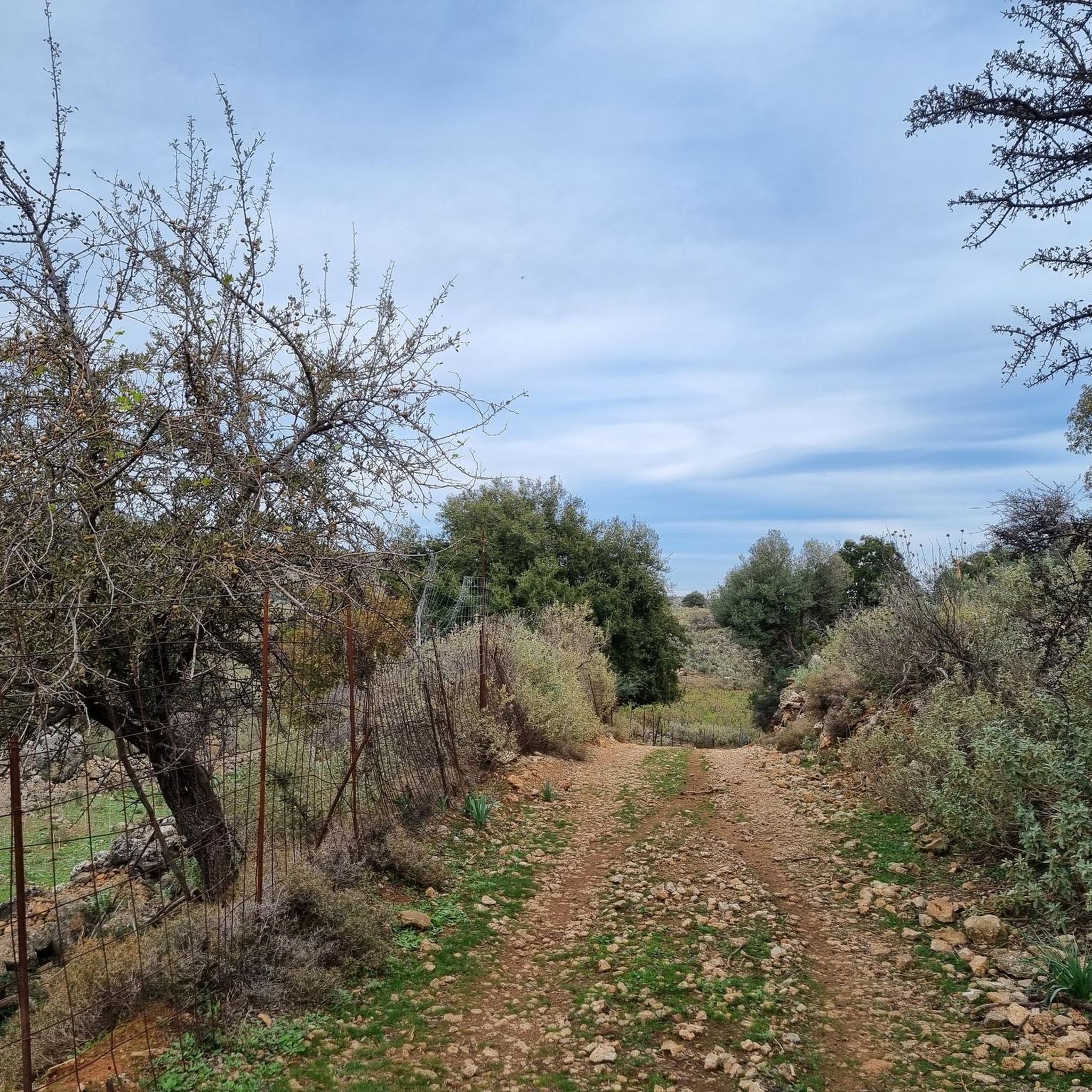
Trasee MTB în Στύλου - Κατωχωρίου Δήμου Αρμένων Και Κεραμειών
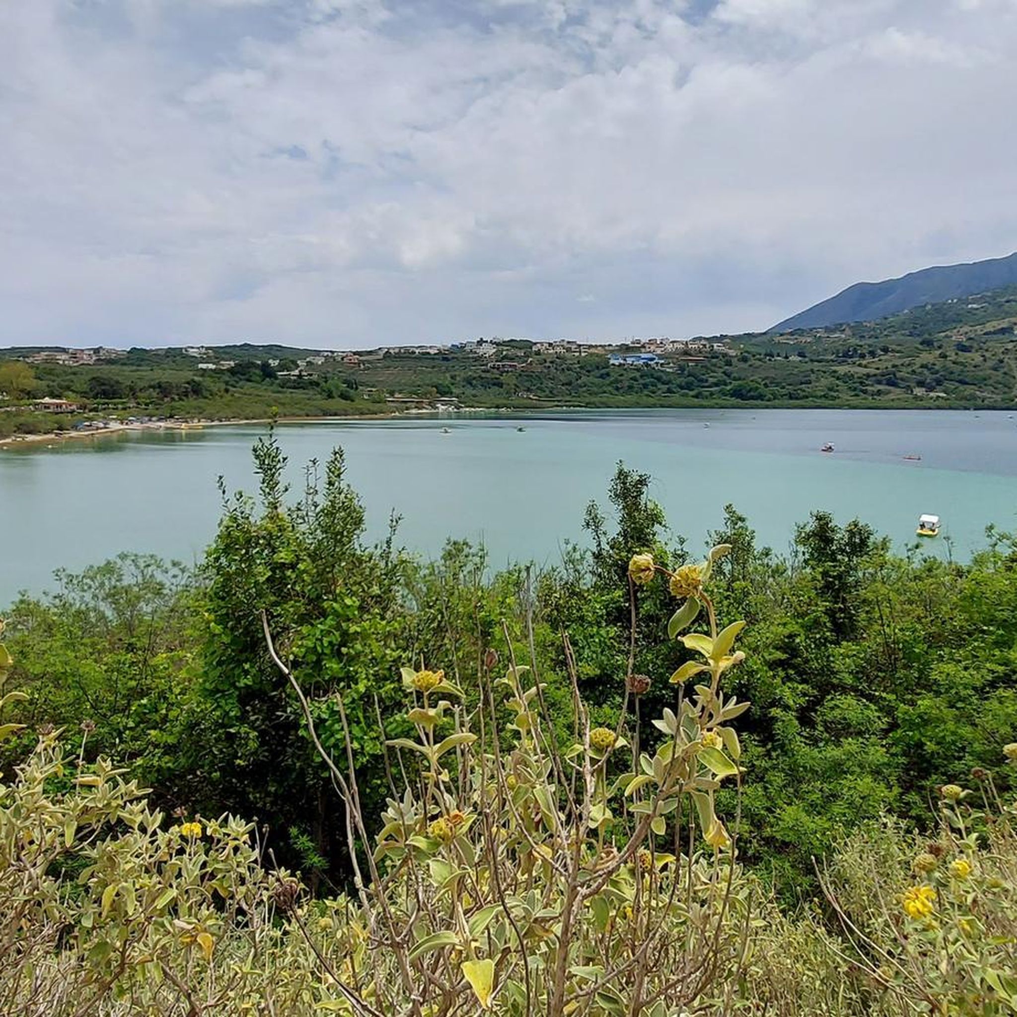
Trasee MTB aproape de Λίμνη Κουρνά Δήμου Γεωργιούπολης
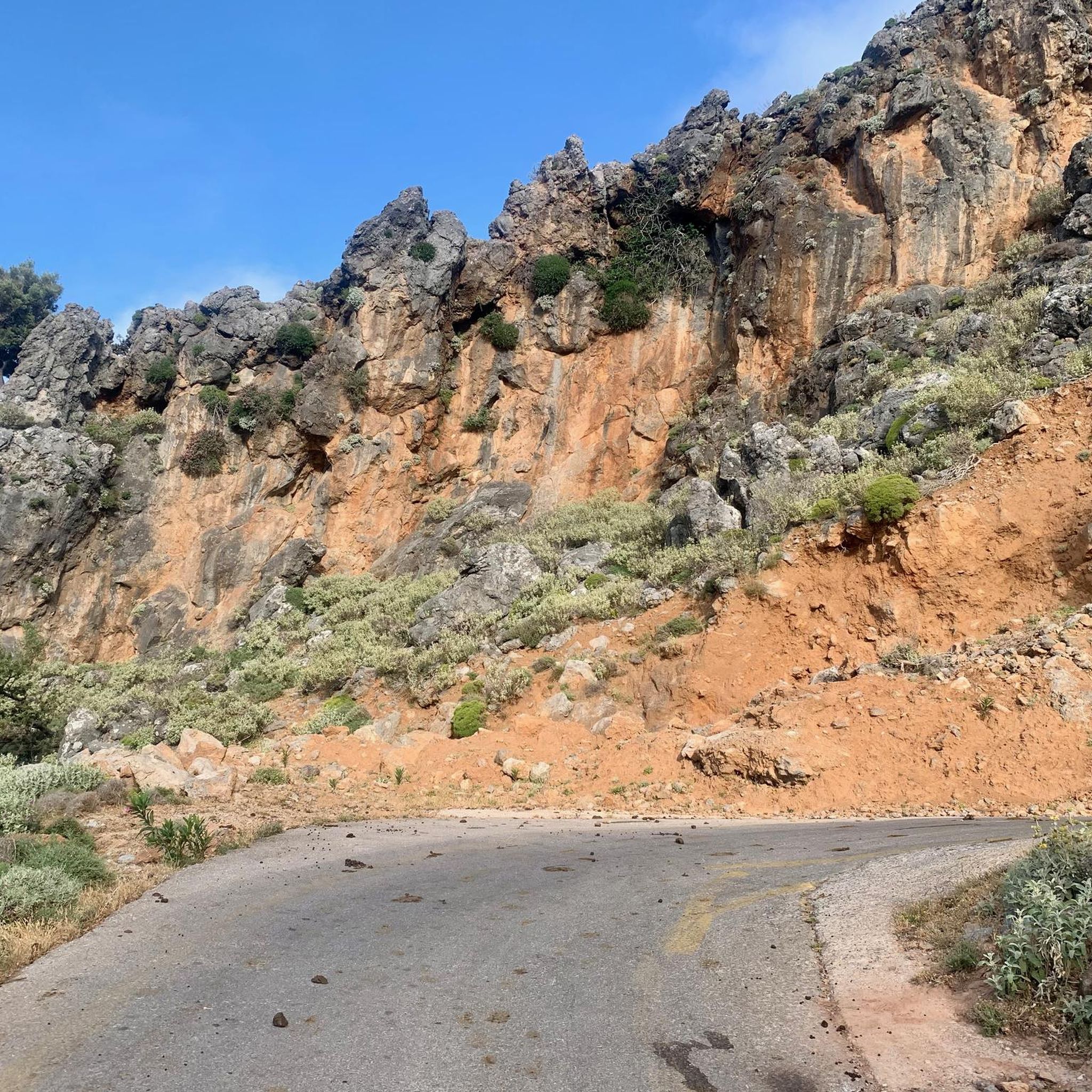
Trasee MTB în Περισυνάκη - Αγριοκεφάλα - Μανίκα Δήμου Σφακίων
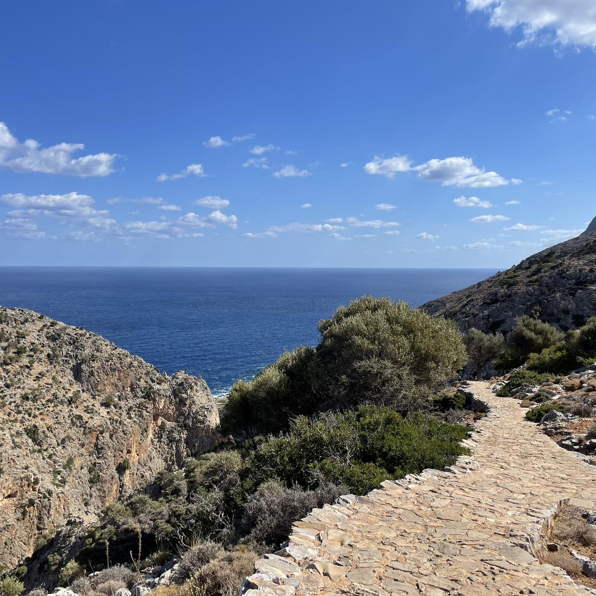
Trasee MTB în Σταυρό Χορδάκι Δήμου Ακρωτηρίου
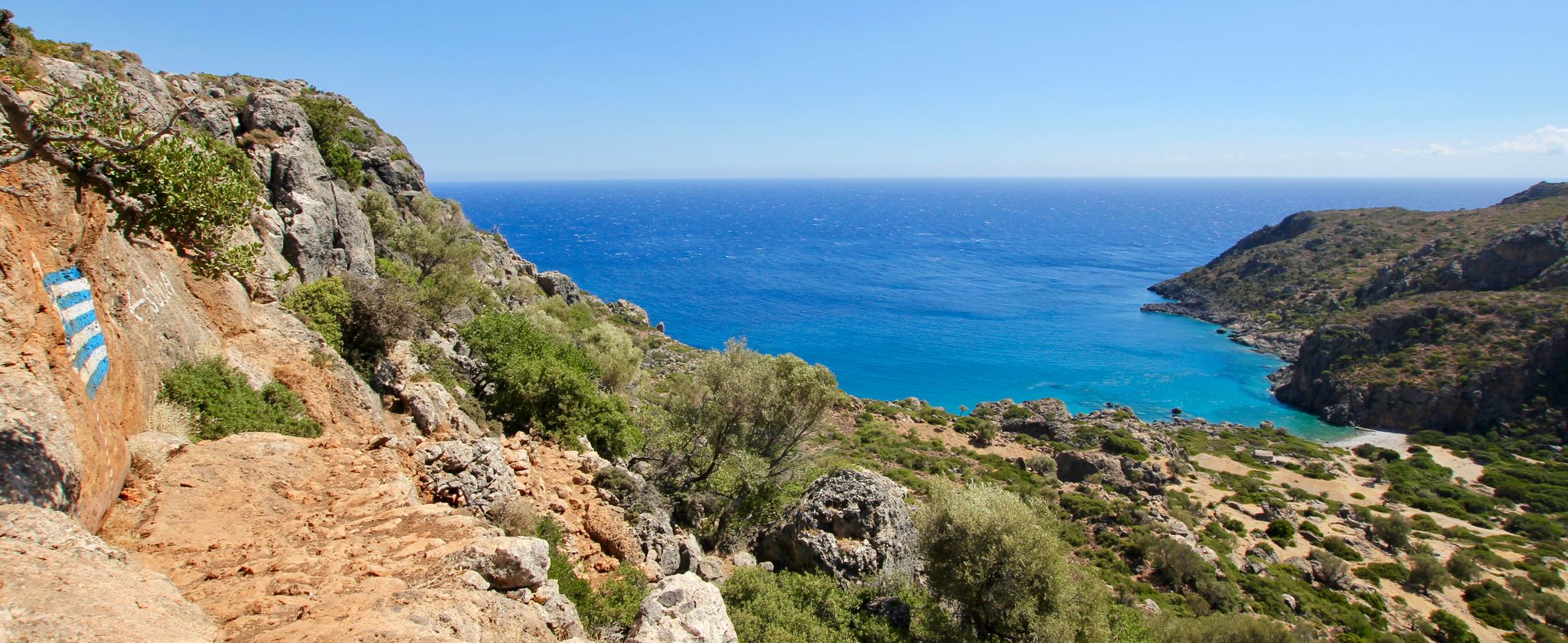
Lonely beaches & deep gorges — hiking in the south of Crete
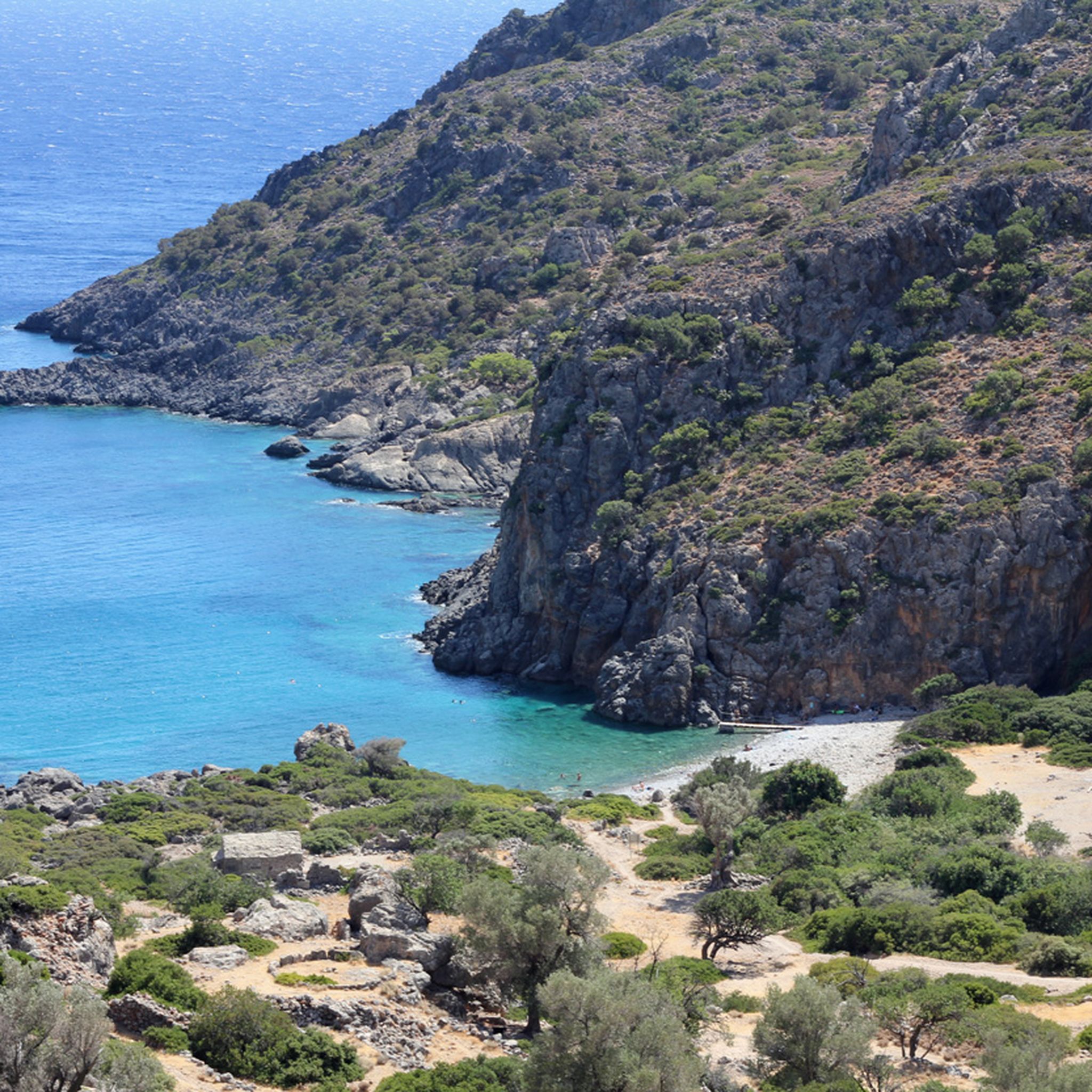
Trasee de drumeție în Περιφερειακή Ενότητα Χανίων
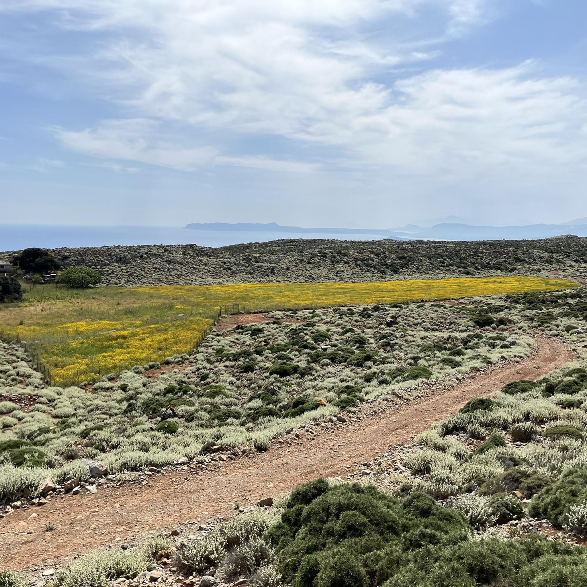
Rute de alergare în Περιφερειακή Ενότητα Χανίων
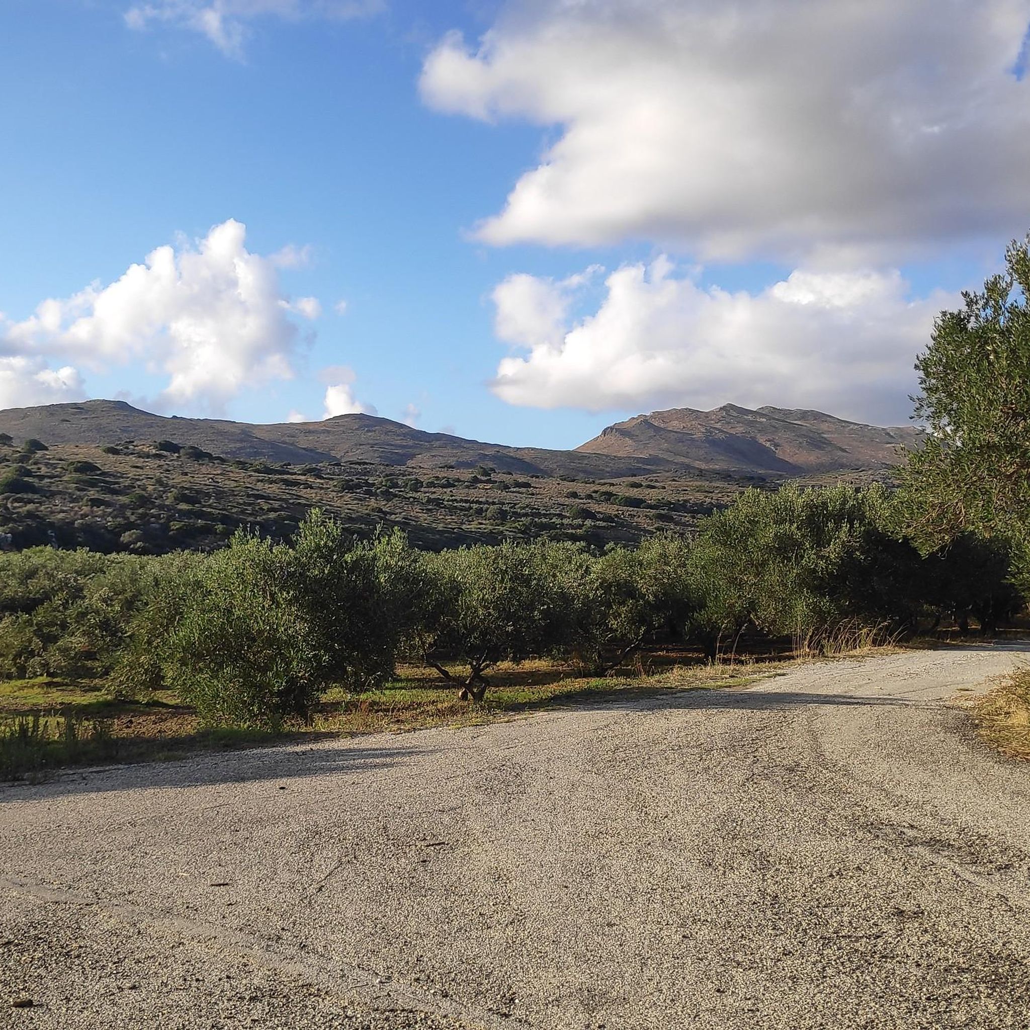
Trasee ciclism în Περιφερειακή Ενότητα Χανίων
Trasee de bicicletă în Περιφερειακή Ενότητα Χανίων
Trasee montane în Περιφερειακή Ενότητα Χανίων
Alte aventuri în Περιφερειακή Ενότητα Χανίων

Sfaturi din comunitate

Zidurile bizantine din Chania sunt o amintire remarcabilă a fortificațiilor timpurii ale orașului, cu mult înainte de construirea mărețelor ziduri venețiene. Aceste ruine antice se găsesc în principal pe dealul Kastelli, deasupra Vechiului Port, unde odinioară se afla cu mândrie acropola bizantină. Datând în mare parte din secolul al VII-lea d.Hr., fortificațiile bizantine au fost construite peste apărări elenistice mai vechi, refolosind pietre și fragmente arhitecturale din Kydonia Antică — un oraș afectat de mai multe cutremure. Ca urmare, zidurile nu au servit doar ca protecție, ci au încorporat și secole de istorie în evoluție a orașului Chania. https://chaniaexplorer.com/byzantine-walls/
1
0

The history of Georgioupolis dates back to antiquity, when the region was settled by the Minoans and later by the Romans. However, the present town was only founded in the late 19th century and named after Prince George of Greece, who was High Commissioner of Crete at the time. Originally a small fishing village, Georgioupolis began to develop as a tourist destination in the 1960s, thanks to its idyllic location and the natural beauty of the surrounding area.
3
1
The lagoon, located east of Balos Bay (Όρμος Μπάλος) between the Gramvousa Peninsula and the adjacent Cape Tigani (Ακρωτήρι Τηγάνι, meaning "pan") to the west, has a northern connection to the open sea at Gramvousa Bay (Όρμος Γραμβούσας), to which the lagoon technically belongs. The Cape Tigani Peninsula, approximately one kilometer long and 700 meters wide, rising to a height of 117 meters, is connected to the mainland at Balos only by a shallow, roughly 50-meter-wide isthmus. The lagoon extends east of this land bridge with an east-west extent of about 400 meters and approximately 600 meters south from the open sea.
2
0
Balos Bay lies on the western side of the now uninhabited Gramvousa peninsula. The peninsula, four kilometers wide in the south, stretches 12 kilometers north from the last settlement, Kaliviani, to Cape Vouxa, the northwesternmost point of Crete. At Balos, five kilometers southwest of Cape Vouxa, Gramvousa narrows to about one kilometer in width.
2
0
The Rodopos Peninsula, approximately 18 kilometers long, juts out into the Cretan Sea like an outstretched finger, measuring about 5 kilometers at its widest point. The peninsula is located in the western part of Crete's north coast. To its west lies the Bay of Kissamos and, about 15 kilometers away, the Gramvousa Peninsula with its offshore rocky islets of Imeri Gramvousa and Agria Gramvousa. To the east of Rodopos stretches the Bay of Chania. A mountain ridge runs through the peninsula from north to south, its highest peaks being Onichas (748 meters) and Spitakiou Korfi (646 meters). The northwesternmost point is Cape Spatha, which also marks the northernmost extent of the island of Crete.
2
0
Kissamos, also known as Kastelli, is a historic city on the island of Crete, Greece. It was once the port of Polyrrinia in antiquity and flourished particularly during the Roman and Byzantine eras. The Romans valued its strategic location and built an aqueduct, roads, and temples. However, the city suffered considerable damage from earthquakes in 66 AD and 365 AD. During the Byzantine period, it became a bishopric, and numerous churches were built on the ruins of Roman temples. In 1252, the Venetians conquered the city, divided it into 90 cavalry, and constructed the city walls of Kastelli, along with an urban plan. The Turkish occupation brought difficult times, with the city changing hands several times until Crete was finally liberated. Kissamos was last besieged in 1897, suffered bombing and looting during World War II, but after the war it became a popular tourist destination known for its natural beauty.
1
0
Balos (Greek: Μπάλος) is a bay with a lagoon behind it on the west coast of the Greek Mediterranean island of Crete. It is located in the municipality of Kissamos in the regional unit of Chania.
2
0
Rodopos (Greek: Χερσόνησος Ροδοπού) is a sparsely populated peninsula in the northwestern part of the Greek island of Crete. Smaller settlements exist only in the southern part of the peninsula. The north, where the remains of an ancient sanctuary are located, is largely undeveloped. In antiquity, the peninsula was called Tityros (Τίτυρος).
2
0
Cele mai populare trasee în Περιφερειακή Ενότητα Χανίων
Cele mai populare atracții în Περιφερειακή Ενότητα Χανίων

Inspiră‑te cu aplicația mobilă komoot


Nu ai găsit ce căutai?
Vezi mai multe MTB trails în Περιφερειακή Ενότητα Χανίων și găsește traseul perfect pentru destinația ta.
Explorează mai mult
Răsfoiește cele mai bune MTB trails din alte regiuni.
