ボーロンのおすすめツーリングルート
4.4
(435)
2,586
ライダー
110
ライド
ボーロン周辺でのおすすめのサイクリングルートを参考にして、このエリアを最大限に楽しみましょう。ここでご紹介するのは、ボーロン周辺の人気バイクライドです。ぜひ、自分に合ったルートを見つけてください。
最終更新日: 10月 30, 2026
4.0
(1)
8
ライダー
24.8km
01:26
70m
70m
初級者向けバイクライド. ほとんどが舗装路です。
4.8
(59)
352
ライダー
55.9km
03:12
100m
100m
中程度の自転車ライド. ある程度のフィットネスレベルが必要です。 ほとんどが舗装路です。

3.6
(7)
22
ライダー
78.5km
04:38
390m
390m
中程度の自転車ライド. ある程度のフィットネスレベルが必要です。 ほとんどが舗装路です。
3.0
(1)
26
ライダー
15.3km
00:52
50m
50m
初級者向けバイクライド. ほとんどが舗装路です。
4.0
(2)
16
ライダー
30.5km
02:07
380m
380m
中程度の自転車ライド. ある程度のフィットネスレベルが必要です。 ほとんどが舗装路です。
さらに多くのルートや他のユーザーのおすすめ情報を確認できます。
すでにアカウントをお持ちですか?
おすすめのツアーは他のkomootユーザーが実際に経験した何千ものアクティビティに基づいています。
無料アカウントで今日から始めよう
次の冒険が待っています。
コミュニティからのヒント

The Signal de Mont is located at an altitude of 469 meters. The observation tower is 12 meters high and offers a 360° panorama of the rolling Burgundy landscape. You can decipher the view thanks to the eight orientation tables. At the foot of the tower, you will find the remains of a World War II aircraft defense post.
0
0

It's fashionable to write the names of cities in big letters!
0
0


Only members of the nudist (FKK) association can set up their tent here.
0
0

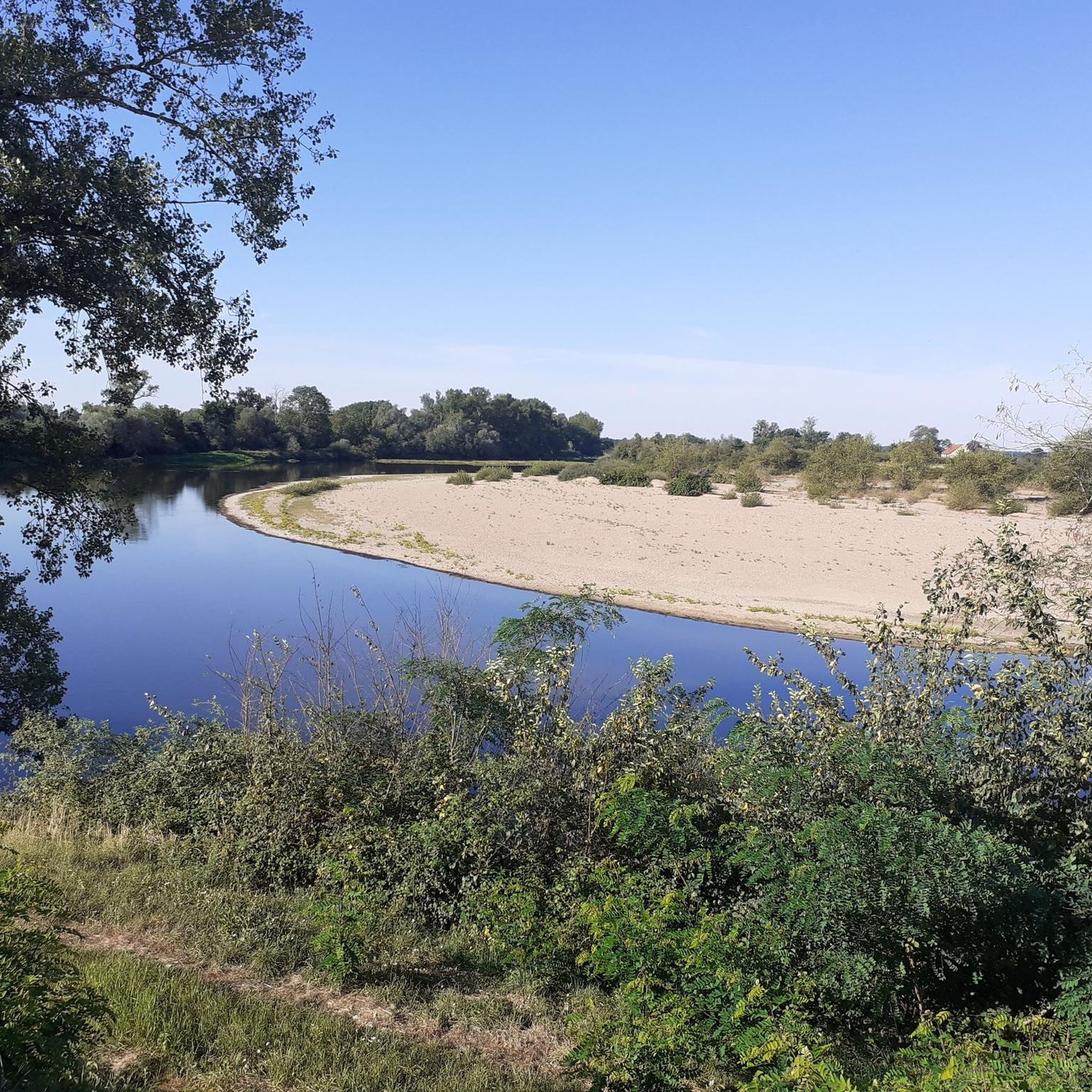
The short section, the ramp up to the dam, is definitely from the last century. But from there, you have a beautiful view of the sandy banks of the Loire. Simply indescribable!
0
0
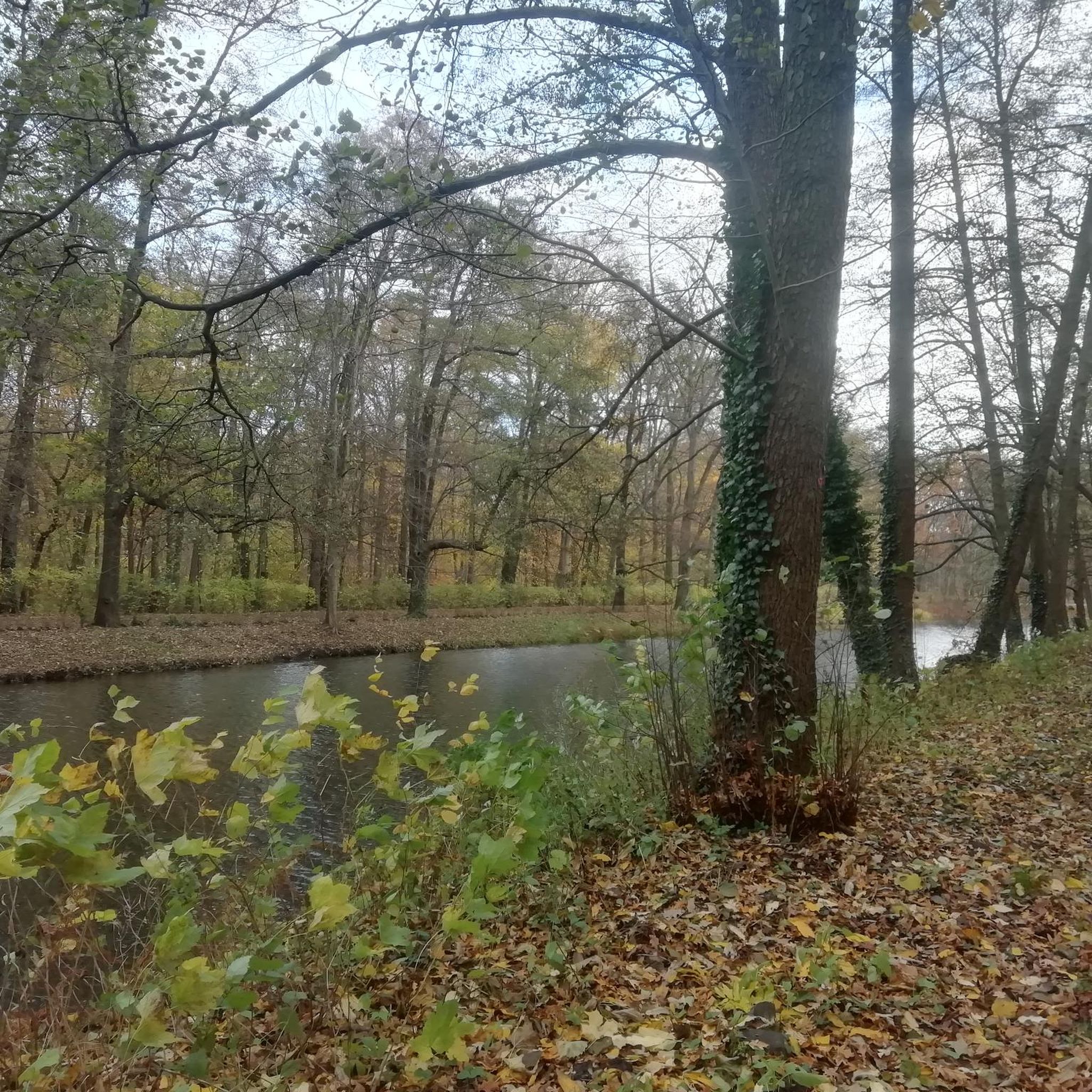
Sometimes a bit monotonous, but the bike path is well paved, so you can also enjoy the scenery. I saw figures in the trees along the path.
0
0
ボーロンでのの人気観光スポット

komootモバイルアプリでインスピレーションを得よう


さらに探索
他の地域の最高のサイクリングルートを見てみましょう。
