モッセのおすすめランニングルート
4.4
(26)
1,887
ランナー
104
ランニング
モッセでランニングを楽しめば、このエリアをより深く知ることができます。ランニングに適した美しいルートが見つかるように、komootがモッセでのルートのコレクション全体を評価して選び抜いた、人気ランニングトレイルをご紹介します。ルートをクリックして詳細を表示し、他のユーザーがアップロードした役立つ情報や写真を閲覧しましょう。
最終更新日: 10月 11, 2026
19
ランナー
8.86km
01:09
350m
350m
難しいジョギング. 標準以上のフィットネスレベルが必要です。 安定して歩行できる技術、丈夫な靴、高標高地での登山経験が必要です。
15
ランナー
7.66km
00:53
180m
180m
中程度のジョギング. ある程度のフィットネスレベルが必要です。 全般的に舗装された状態です。あらゆるスキルレベルに適しています。

15
ランナー
17.1km
02:37
930m
930m
難しいジョギング. 標準以上のフィットネスレベルが必要です。 全般的に舗装された状態です。あらゆるスキルレベルに適しています。
4.5
(2)
11
ランナー
12.3km
01:39
420m
420m
難しいジョギング. 標準以上のフィットネスレベルが必要です。 安定して歩行できる技術、丈夫な靴、高標高地での登山経験が必要です。
9
ランナー
16.0km
01:58
530m
530m
難しいジョギング. 標準以上のフィットネスレベルが必要です。 全般的に舗装された状態です。あらゆるスキルレベルに適しています。
さらに多くのルートや他のユーザーのおすすめ情報を確認できます。
すでにアカウントをお持ちですか?
おすすめのツアーは他のkomootユーザーが実際に経験した何千ものアクティビティに基づいています。
無料アカウントで今日から始めよう
次の冒険が待っています。

コミュニティからのヒント

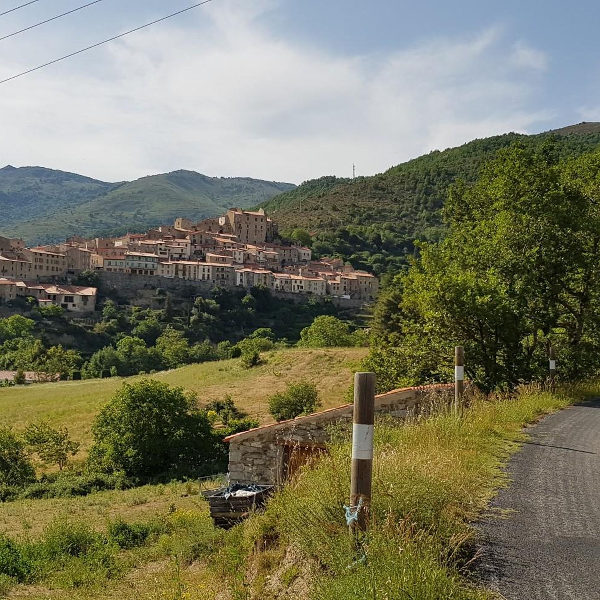
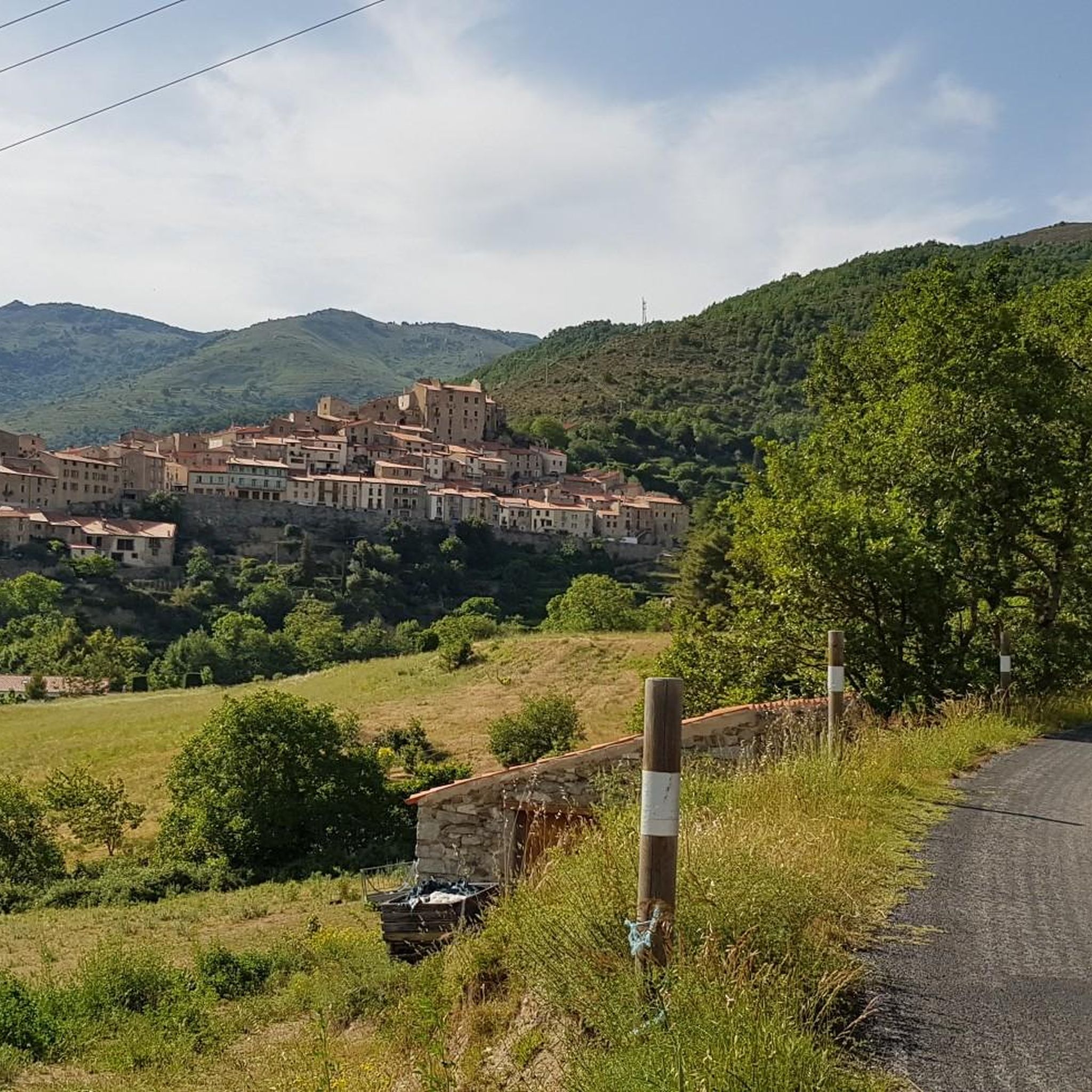
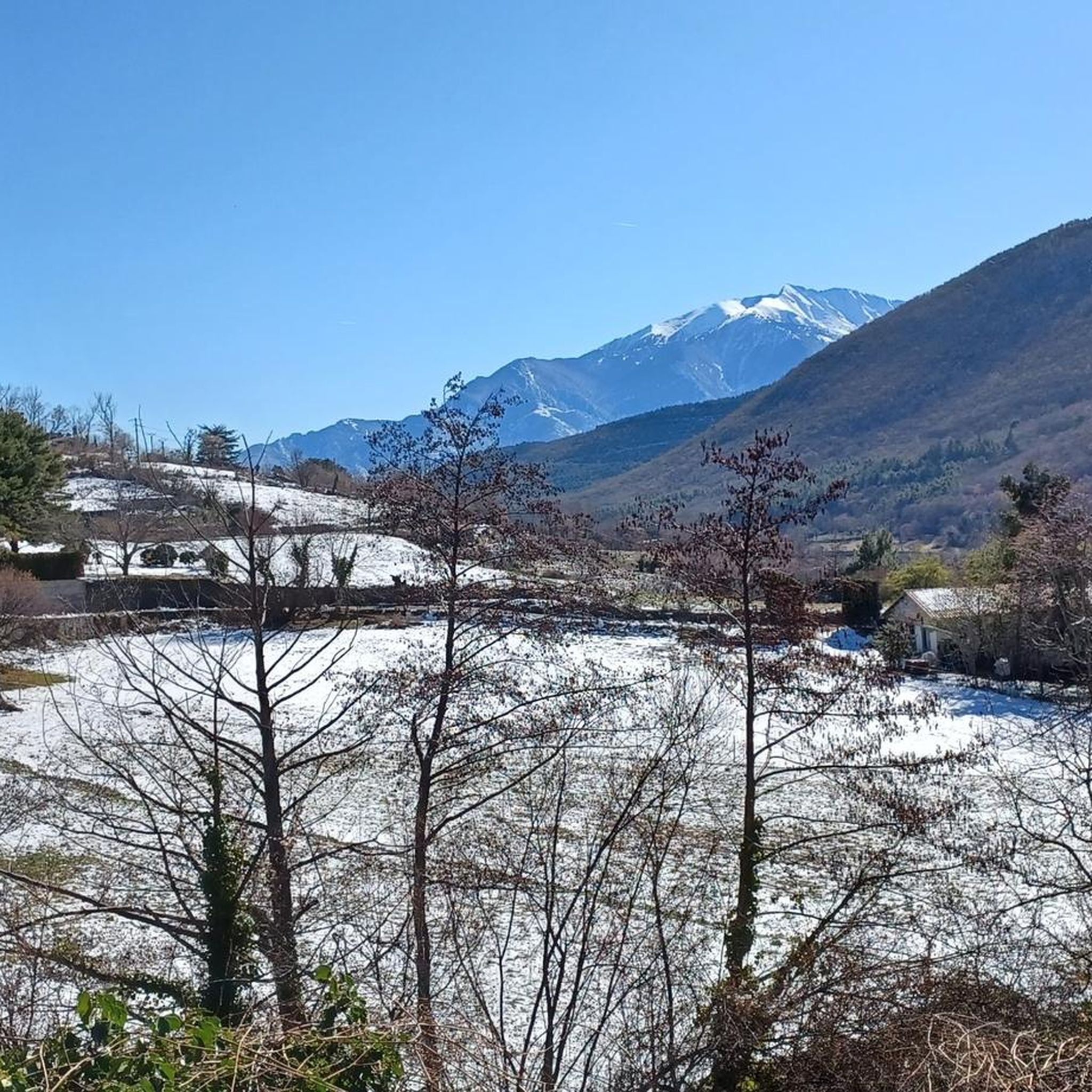
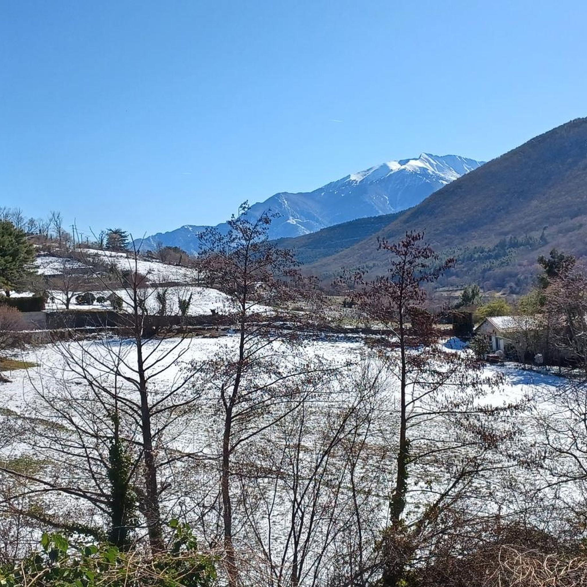
ここからはカタルーニャ・ピレネー山脈の広大なパノラマを楽しむことができます。左手はカルカネ生物保護区の方向へ。右手と正面は、この地域で最も高い山であるマドレ山頂への方向です。
0
0

The fort was built in 1681 on a rocky spur on the mountainside. It guarded the Têt Valley and, together with the ramparts of Villefranche, formed a formidable defensive complex. It stood 180 meters above the Têt, on the summit of Belloch Mountain, like a king. In peacetime, the fort could accommodate 50 to 100 garrison members.
0
0


The Oller refuge (not guarded) is located halfway up the Pic de Madrès from Odeillo. From this point, you will have privileged views over places such as Puyvalador and its lake, the old station and the Pic de Ginèvre area, the Llissa Cremada, etc. As for the shelter, it is not very big but it is very pleasant and well equipped. It has bunk beds for four people, a stove and firewood, some books, maps...
0
0
The Oller refuge (not guarded) is located halfway up the Pic de Madrès from Odeillo. From this point, you will have privileged views over places such as Puyvalador and its lake, the old station and the Pic de Ginèvre area, the Llissa Cremada, etc. As for the shelter, it is not very big but it is very pleasant and well equipped. It has bunk beds for four people, a stove and firewood, some books, maps...
1
0

Away from the tourist race mile, there are sheltered rest areas in Mauerbögem and under shady trees
2
0

The visit is worthwhile. You get a card with explanations in your native language and can read it during the tour. Rooms and figures are lovingly designed.
1
0

We tried to complete the 2h23 and 7.23km tour. The first part to the fort was nice but at the end of the tour, the path is impassable and marked as "Danger. forbidden to the public". There is a ravine and rock falls. This last part is very narrow and dangerous. The hike is also poorly marked. We lose the markings and part of the path is with a private individual so we had to find another path. We do not recommend this tour.
1
0
モッセでのの人気観光スポット

komootモバイルアプリでインスピレーションを得よう


さらに探索
他の地域の最高のランニングトレイル & ルートを見てみましょう。
