ホイスドルフのおすすめランニングルート
4.4
(11)
339
ランナー
35
ランニング
ホイスドルフ周辺のジョギングルートは、ドイツのシュトルマルン郡内にある、穏やかで絵のように美しい環境を提供しています。この地域は、起伏のある丘、景色の良い森、数多くの湖が特徴で、身体活動のための多様な地形を提供しています。特筆すべきは、池と河畔地帯の集合体であるホイスドルフ自然保護区や、ランニングコースに転用されたかつての鉄道線路などです。この自然環境は、多様なランニング体験を求めるアウトドア愛好家にとって、ホイスドルフの魅力を高める要因となっています。
ホイスドルフ周辺のベストジョギングルート
- 最も人気のあるジョギングルートは、ホイスドルフから出発する ホイスドルフの景色の良いループで、3.5マイル(5.6 km)のトレイルで、所要時間は約35分です。このルートからは地元の風景を眺めることができます。
- 地元のランナーに人気のもう一つのルートは、グロースハンズドルフから出発する バッガークーレのループで、適度な難易度の3.9マイル(6.2 km)のコースです。このルートは、バッガークーレ地域を含む自然の中を蛇行します。
- 地元のランナーに愛されているのは、グロースハンズドルフから出発する グロースハンズドルフからのランニングループで、5.4マイル(8.7 km)のトレイルは変化に富んだ地形を通り抜け、所要時間は約55分です。
- ホイスドルフ周辺のジョギングは、起伏のある丘、絵のように美しい森、そして静かな湖によって特徴づけられます。このネットワークは、簡単なコースからより挑戦的なルートまで、さまざまなレベルの能力に対応するオプションを提供しています。
- ホイスドルフのルートは、komootコミュニティから高く評価されており、6件のレビューで平均4.0つ星を獲得しています。300人以上のランナーがkomootを利用して、ホイスドルフの多様な地形を探索しています。
最終更新日: 10月 9, 2026
5.0
(2)
47
ランナー
中程度のジョギング. ある程度のフィットネスレベルが必要です。 全般的に舗装された状態です。あらゆるスキルレベルに適しています。
5.0
(2)
45
ランナー
7.12km
00:45
30m
30m
中程度のジョギング. ある程度のフィットネスレベルが必要です。 全般的に舗装された状態です。あらゆるスキルレベルに適しています。

16
ランナー
6.66km
00:42
30m
20m
中程度のジョギング. ある程度のフィットネスレベルが必要です。 全般的に舗装された状態です。あらゆるスキルレベルに適しています。
3.5
(2)
12
ランナー
8.74km
00:55
30m
30m
中程度のジョギング. ある程度のフィットネスレベルが必要です。 全般的に舗装された状態です。あらゆるスキルレベルに適しています。
4.0
(1)
14
ランナー
11.6km
01:14
40m
40m
中程度のジョギング. ある程度のフィットネスレベルが必要です。 全般的に舗装された状態です。あらゆるスキルレベルに適しています。
さらに多くのルートや他のユーザーのおすすめ情報を確認できます。
すでにアカウントをお持ちですか?
おすすめのツアーは他のkomootユーザーが実際に経験した何千ものアクティビティに基づいています。
無料アカウントで今日から始めよう
次の冒険が待っています。
コミュニティからのヒント

I came here because of the book Lost & Dark Places Hamburg (Manfred Ertel). Of course, after more than 100 years, there is not much left of the old subway station. But with a bit of imagination you can recreate the platform. I really liked the fact that you can walk along the old railway embankment, which can still be traced to Großhansdorf station. From the missing bridge over Mielerstede street, however, it can only be walked parallel to it on Hasselkamp street and no longer directly. Among other things, the Beimoor train station was intended to connect a planned "3rd Hamburg mental asylum", as it was called in official German at the time. In addition, an armaments factory was to be built in the Beimoorwald with a housing estate for workers. Construction work began in 1915. Except for the electrification, the station was finished when everything changed after the First World War. The Versailles Treaty prohibited the losers from any armament production, the arms factory was not allowed to be built. And a workers' settlement for the production facility was thus obsolete. The dismantling of the ghost station began as early as 1920. (Source: Dark & Lost Places Hamburg, Manfred Ertel)
6
0

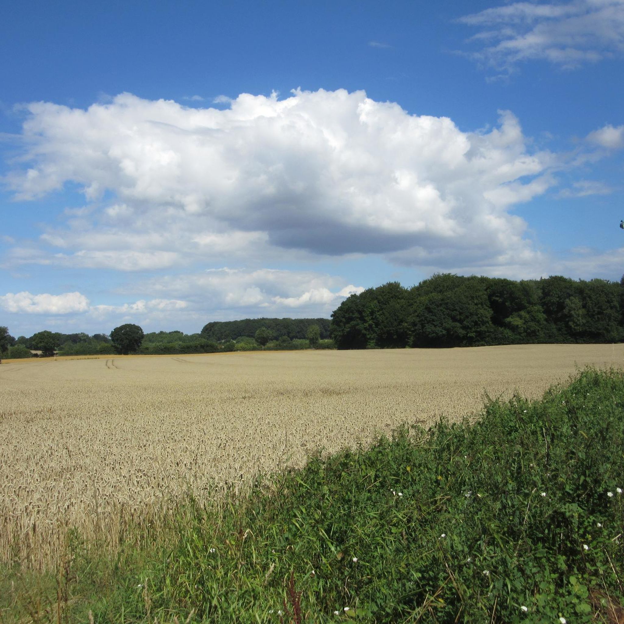
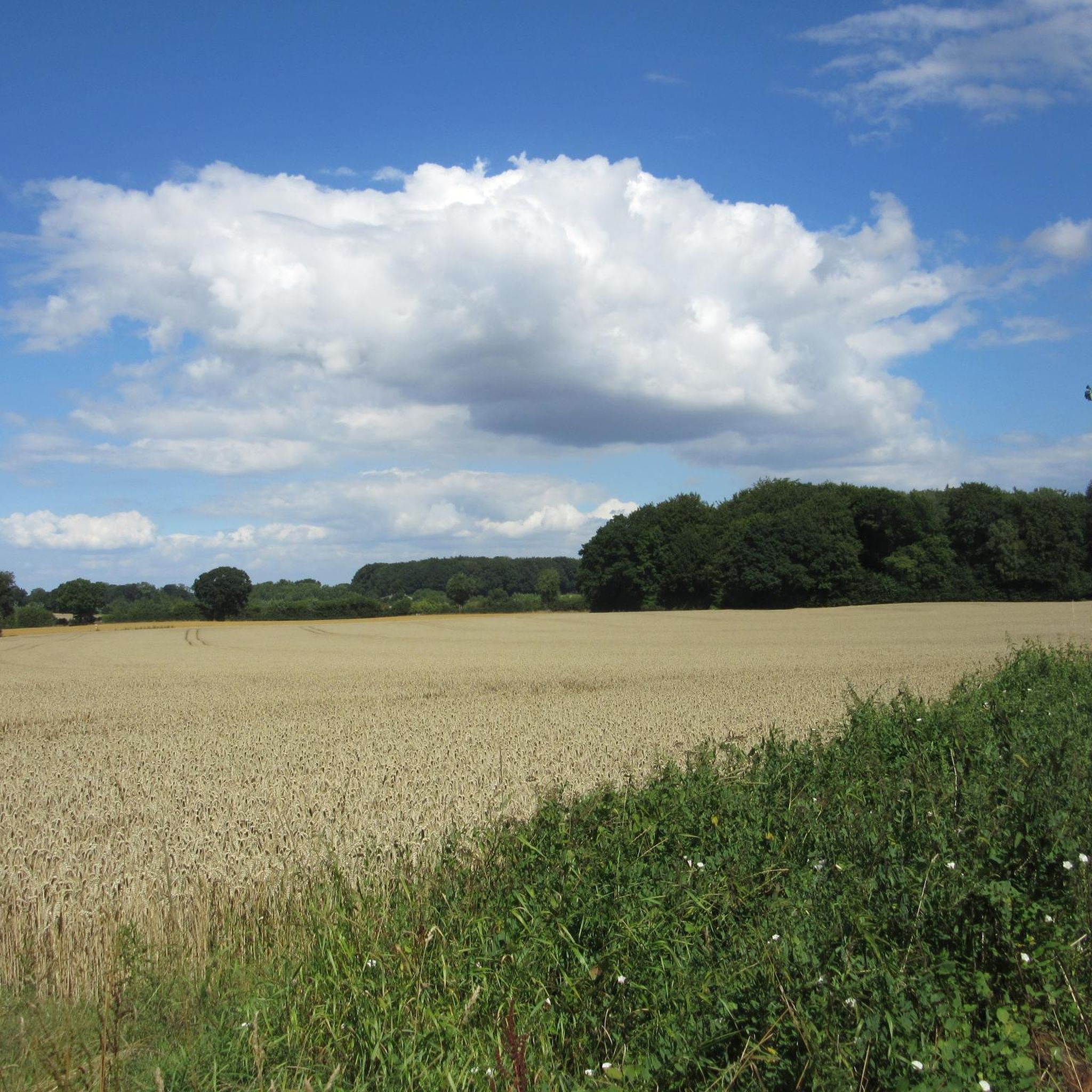
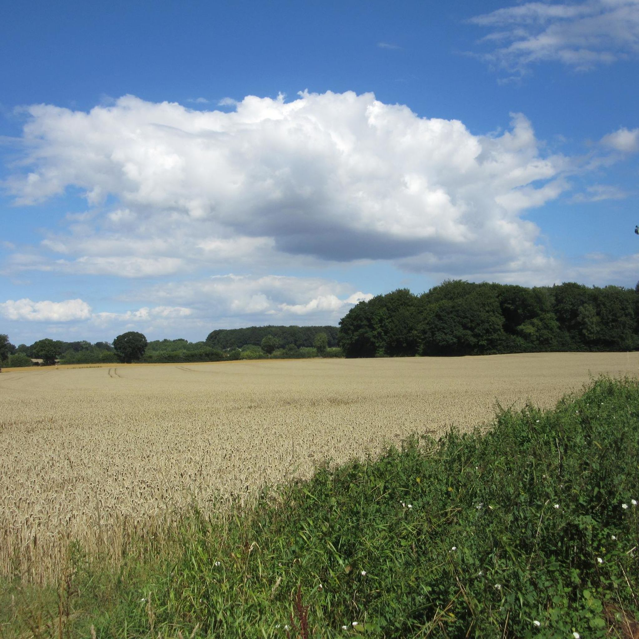
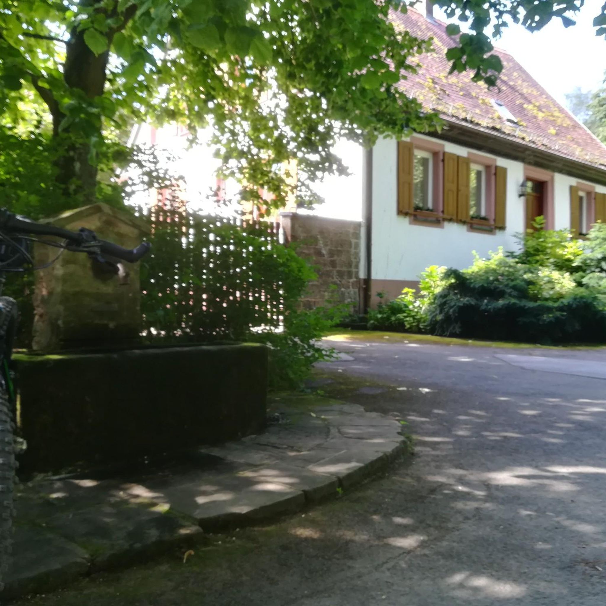
beautiful Verindungswege between Großhansdorf and Lütjensee. Beautiful nature and wide fields. Super asphalt and nicer than on the main roads.
0
0

A hidden single trail leads from the Mielerstede street through the beautiful nature of a sanctuary to the Beimoor ghost train station.
3
0
When I drove past the ghost station by chance for the first time a few years ago, I stopped immediately because I was somehow interested in the strange building. I immediately took a closer look at it and climbed up onto the embankment. At first I thought it was an old railway bridge, but the counterpart was missing on the other side. Only later did I learn the correct meaning. I was already using Komoot at the time, but wasn't registered yet. I hadn't forgotten the ghost station afterwards, but I didn't yet know what significance it had and unfortunately I hadn't remembered the exact location either. He had already impressed me back then, but unfortunately afterwards I didn't know exactly where he had been. I always assumed it was on one of the old railway lines that are now great bike paths. Of course I couldn't find him there. Only later did I rediscover it as a highlight on the Komoot map. Many thanks to Jan67SH for setting it up. I was very happy to find the ghost station as a highlight on the map - well done. This is what sets Komoot and its members apart.
5
0
Großhansdorf is served by bus lines and the subway of the Hamburger Verkehrsverbund (HVV), the U1 line (blue) has its terminus in Großhansdorf. There are a total of three stations in the municipality: Schmalenbeck, Kiekut and Großhansdorf. The journey from Großhansdorf to Hamburg Central Station takes 43 minutes. A fourth stop, Beimoor, was under construction during the First World War and shortly afterwards and had already been largely completed. The only thing missing from the double-track line and the sidings was the power rail when the project was abandoned immediately after the First World War, as was the planning of an armaments factory in the Beimoorwald. Before the Second World War, the Hitler Youth practiced blasting, so that there is almost nothing left of the station building and nothing at all of the platform roof. Bats now nest in the access tunnel, which has been partially buried and provided with a wall (with a door and an entrance hole) by the municipal administration. The slightly weathered platform for the four-car trains planned for the Walddörferbahn at that time is still fully preserved. Before the line was inaugurated in November 1921, the second track from Großhansdorf to the hall of the Volksdorf train station had also been dismantled; only in Schmalenbeck was there a passing point with the only two switches on the whole route. It was only later that the Volksdorf - Buchenkamp section on the Hamburg state territory received its second track again, as did the Großhansdorf station with track 2 and its two sidings. After the Second World War, the current status was achieved with the construction of the passing point in Ahrensburg West station; the 20-minute cycle (morning and evening even 2½ hours 10-minute cycle) made the construction necessary. https://de.wikipedia.org/wiki/Gro%C3%9Fhansdorf
5
0
Anyone who is on the subway line 1 in Hamburg knows the "Großhansdorf" display on the trains. But the place just behind the eastern border with Schleswig-Holstein was not originally intended to be the terminus of the U 1. At the beginning of the 20th century there are plans to build another station called Beimoor on the so-called Walddörfer Line. And it is also being built - but never put into operation. Today only the platform slab on the embankment and the bricked-up access tunnel are left of this terminus. Still an impressive building today. The first time I passed it, I couldn't help but stop to look at it. I didn't know what it meant at the time and at first thought it was an old railway bridge ... but there was no counterpart on the other side of the street. It was only later that I learned the correct meaning. Source and other interesting information: https://www.ndr.de/geschichte/schauplaetze/Beimoor-der-Geisterbahnhof-der-Hamburger-U-1,beimoor100.html
8
0

Take care when starting up and shutting down. There are small trails around the stop that are relatively steep and blackberry overgrown.
3
0
見ごたえのある博物館は、1756年にユグノーのデュヴィエによって村の鍛冶屋として建てられた歴史的な農家「Am Thie」に1978年からあります。 豊富な品揃えで、技術時代が到来する前のシュトルマルンの村の生活について、多様な洞察を提供します。そのため、プレゼンテーションの中心は、農業、家政、工芸分野の民俗的な仕事道具や経済道具のコレクションです。 農家のスパイスと薬草の庭、獣医用具、そして展示ケースで観察できる生きた蜂のコロニーを持つ養蜂が、この分野を補完しています。 また、時間の経過とともに、さまざまな生活や仕事の分野で生じた発展段階も例を挙げて紹介されています。 https://www.museum-hoisdorf.de/
4
1

komootモバイルアプリでインスピレーションを得よう


さらに探索
他の地域の最高のランニングトレイル & ルートを見てみましょう。
