ベネットのおすすめランニングルート
3.8
(20)
990
ランナー
139
ランニング
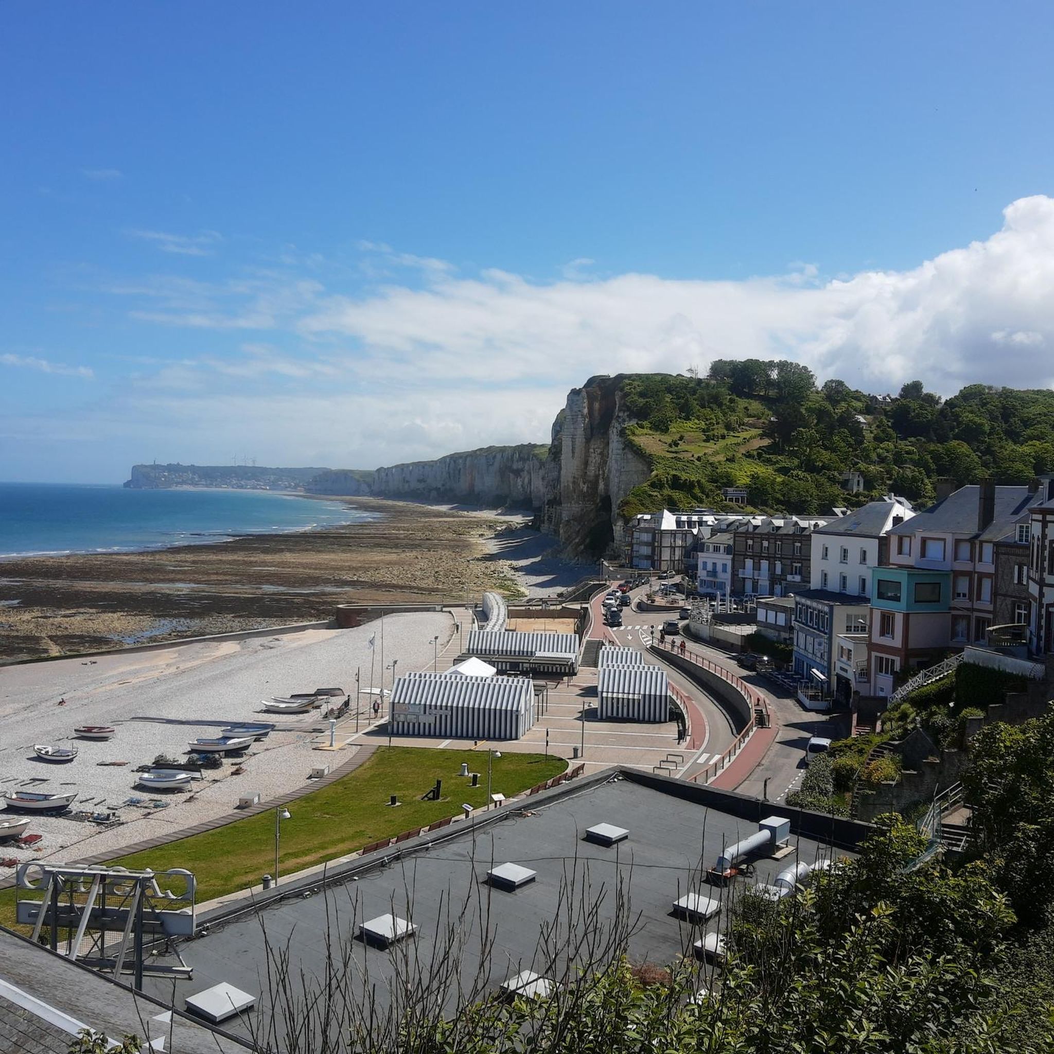
Jogging routes around Bennetot are situated in the Seine-Maritime department of Normandy, France, within the diverse landscapes of the Pays de Caux. The region features a high, undulating chalk plateau, creating gently rolling terrain inland, characterized by green spaces, traditional farms, orchards, and woodlands. The presence of the La Durdent River provides pleasant riparian landscapes, while quiet rural roads connect various areas. Bennetot itself ranges from 97 to 131 meters in altitude, contributing to varied gradients suitable for running.
Best…
最終更新日: 10月 30, 2026
3
ランナー
7.24km
00:45
30m
30m
中程度のジョギング. ある程度のフィットネスレベルが必要です。 ほとんどが舗装路です。
7
ランナー
9.40km
00:58
30m
30m
中程度のジョギング. ある程度のフィットネスレベルが必要です。 ほとんどが舗装路です。

6
ランナー
6.69km
00:41
20m
20m
中程度のジョギング. ある程度のフィットネスレベルが必要です。 ほとんどが舗装路です。
6
ランナー
10.8km
01:07
40m
40m
中程度のジョギング. ある程度のフィットネスレベルが必要です。 ほとんどが舗装路です。
4.0
(1)
6
ランナー
6.99km
00:44
40m
40m
中程度のジョギング. ある程度のフィットネスレベルが必要です。 ほとんどが舗装路です。
さらに多くのルートや他のユーザーのおすすめ情報を確認できます。
すでにアカウントをお持ちですか?
おすすめのツアーは他のkomootユーザーが実際に経験した何千ものアクティビティに基づいています。
無料アカウントで今日から始めよう
次の冒険が待っています。



ベネットでのの人気観光スポット

komootモバイルアプリでインスピレーションを得よう


さらに探索
他の地域の最高のランニングトレイル & ルートを見てみましょう。
