コランドルの峠・トップ8
風景を楽しんだり、上りや下りを満喫したり、峠には楽しみ方がたくさんあります。コランドルの素晴らしい峠の一覧を参照して、思い出に残るアドベンチャーに出かけましょう。コミュニティのメンバーがコミュニティのために投稿した峠のハイライトは、他のユーザーが実際におすすめする情報なので、どれも信頼できるものです。気に入った峠にさっそく向かってみましょう。
最終更新日: 10月 13, 2026
ローランド・ギャップ
ハイライト • 山道
Its name was given to it in reference to the breach of the same …
翻訳者 Google •
役立つ情報 は

パ・ド・ペイロル峠(1,589 m)
ハイライト • 山道
翻訳者 Google •
役立つ情報 は

今すぐサインアップして、こんな場所を発見しよう
最高のシングルトラック、ピーク、その他のエキサイティングなアウトドアスポットのおすすめを受け取ろう。
ネルロンヌ峠
ハイライト • 山道
翻訳者 Google •
役立つ情報 は

コル・ド・レドンデ
ハイライト • 山道
翻訳者 Google •
役立つ情報 は

サレールからパ・ド・ペイロル/ピュイ・マリへの登り
ハイライト (セグメント) • 山道
翻訳者 Google •
役立つ情報 は

無料でサインアップして、さらに多くの山道を発見しましょう コランドルでの。
すでにアカウントをお持ちですか?
無料アカウントで今日から始めよう
次の冒険が待っています。

コミュニティからのヒント

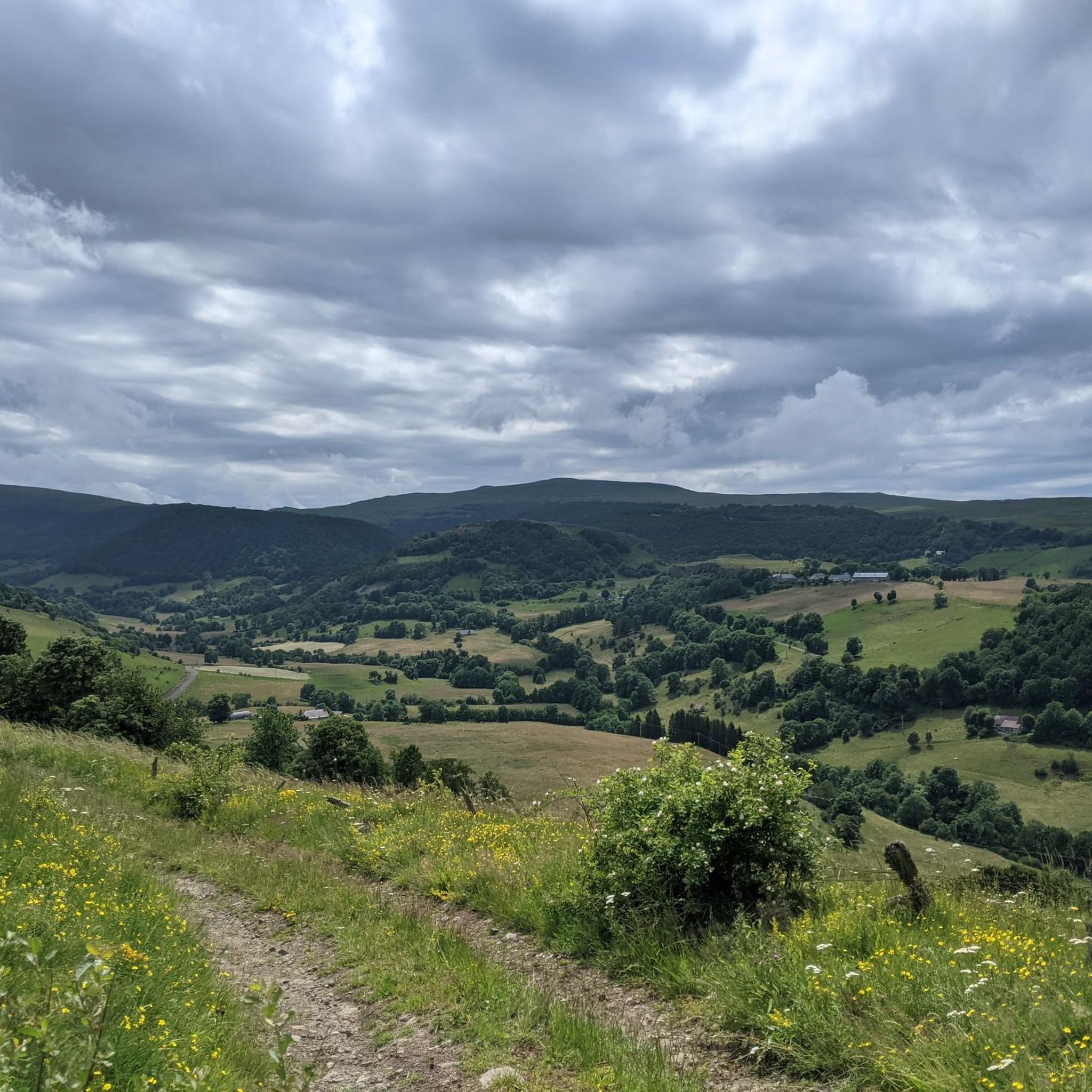
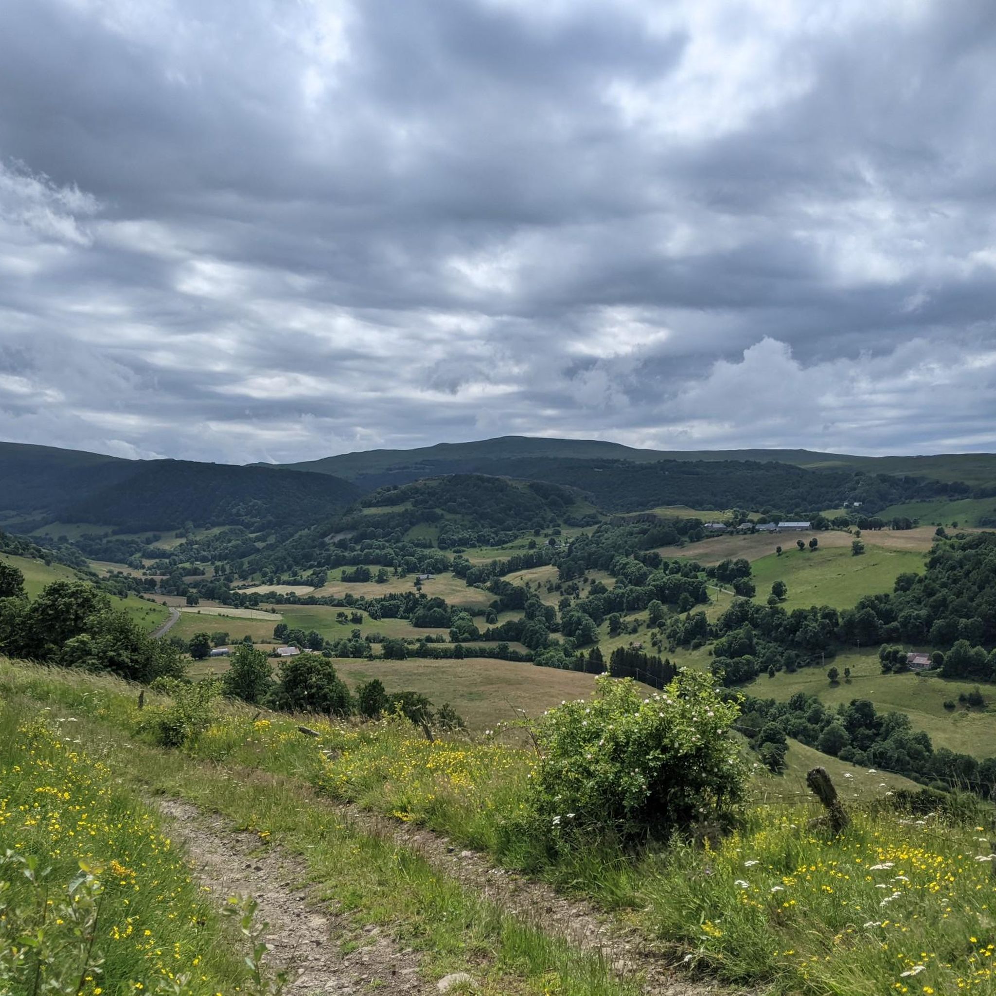
登る方法は少なくとも5通りあります。 ファルグー経由の直接登りだけが、平均9%で4kmと難易度が高いです。しかし、森の中からの眺めは格別ではありません。
0
0


Either stressful or relaxed from Puy Mary.
1
0

The Rolland Breach was mildly challenging for this 72yo when dry. Descending in the wet would need good grippy footwear. There is an alternative GR400 track bypass
0
0

This climb captures everything Auvergne has to offer. Starting in the charming and famous village of Salers, it ends at another symbol of this region known for its volcanoes: Puy Mary. On the bike side, it's a 23-kilometer climb with an average gradient of 3.7%. Be careful, however, as this low gradient is due to the long, five-kilometer flat stretch after the Col de Néronne. Save your energy for the last two kilometers, which are formidable, with a gradient that never drops below 10%.
2
0

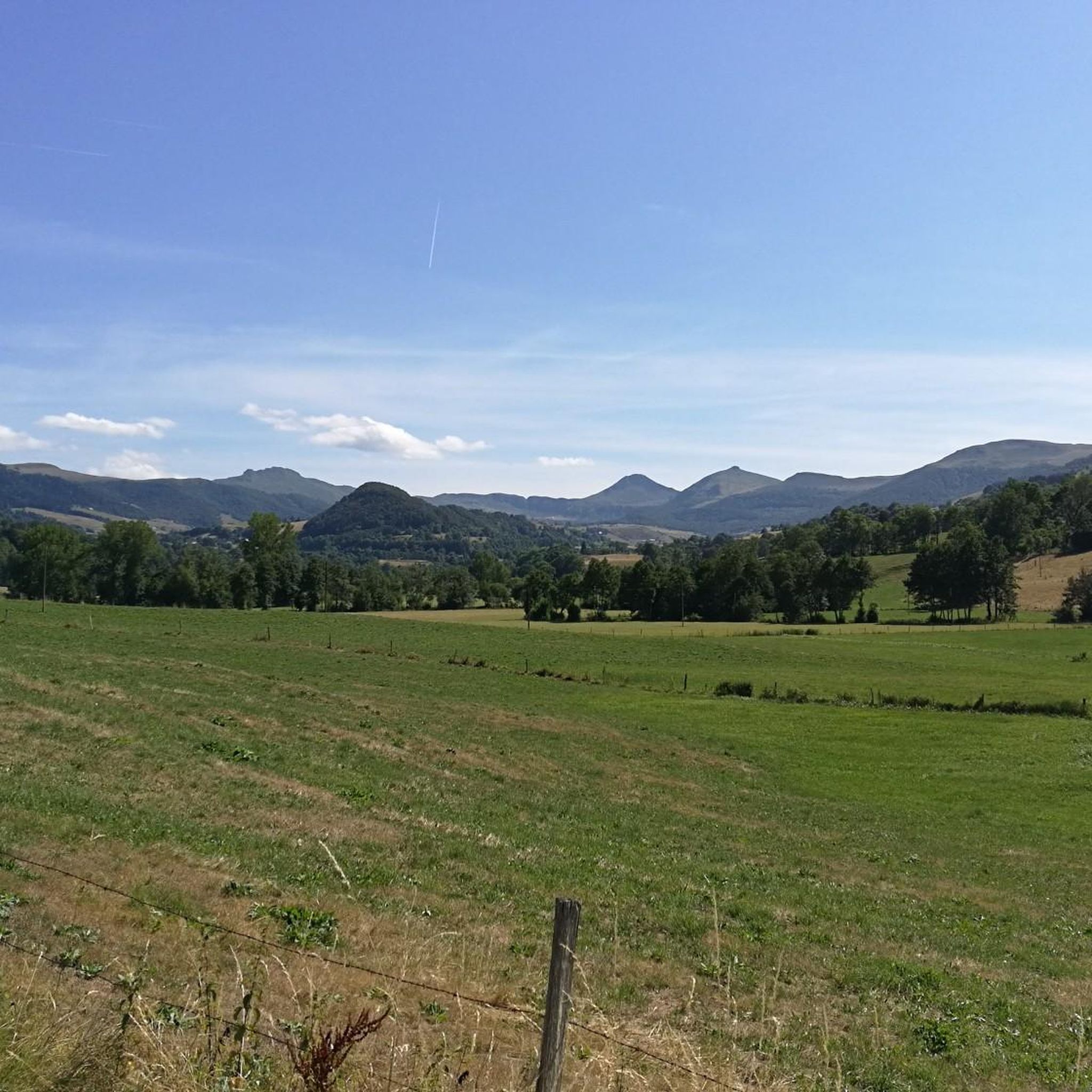
From Salers, a pass with low percentages but with a magnificent view of the Santoire valley.
1
0

At an altitude of 1,588 meters, the Pas de Peyrol is located between the Puy Mary and the Puy de la Tourte. It is known to be the highest road pass in the Massif Central and is worth it, because the last few kilometers have high percentages. There you can admire Puy Mary which peaks at an altitude of 1,783 metres. It is one of the peaks of the Cantal mountains. It is easily recognizable with its pyramidal silhouette.
1
0

The rise of Neronne is a great aperitif before the Pas De Peyrol… But better not to have left feathers on Neronne by looking down on it because of its relative accessibility… Otherwise…
2
0
コランドルでのの人気観光スポット

komootモバイルアプリでインスピレーションを得よう


さらに探索
これらのガイドでさらに壮大な山道を見てみましょうコランドルでの:
