サン・テティエンヌ=ド=ショメイユのおすすめライド
4.9
(72)
1,418
ライダー
72
ライド
サン・テティエンヌ=ド=ショメイユ周辺のロードバイクルートをお探しですか?ここでは、komootが提供するサン・テティエンヌ=ド=ショメイユでのロードバイクライドのコレクション全体を評価して選び抜いた人気ルートをご紹介します。各ライドの詳細をぜひご覧ください。
最終更新日: 10月 10, 2026
5.0
(1)
4
ライダー
51.2km
02:46
890m
890m
Cycle the moderate 31.8-mile Tour of the Lakes and the Gorges de la Rhue loop, featuring 2916 feet of elevation gain in the Auvergne region.
4.8
(6)
179
ライダー
86.0km
04:53
1,930m
1,930m
難しいロードライド. 標準以上のフィットネスレベルが必要です。 ツアーの一部に、未舗装のため走行が難しい箇所があるかもしれません。

18
ライダー
40.4km
02:08
770m
770m
中程度のロードライド. ある程度のフィットネスレベルが必要です。 全般的に舗装状態が良好で走行しやすい道です。
5.0
(1)
5
ライダー
55.1km
03:05
1,090m
1,090m
難しいロードライド. 標準以上のフィットネスレベルが必要です。 全般的に舗装状態が良好で走行しやすい道です。
14
ライダー
33.8km
01:49
630m
630m
中程度のロードライド. ある程度のフィットネスレベルが必要です。 全般的に舗装状態が良好で走行しやすい道です。
さらに多くのルートや他のユーザーのおすすめ情報を確認できます。
すでにアカウントをお持ちですか?
おすすめのツアーは他のkomootユーザーが実際に経験した何千ものアクティビティに基づいています。
無料アカウントで今日から始めよう
次の冒険が待っています。

コミュニティからのヒント

A beautiful, partly shady climb from Claux to the pass. Then the real challenge begins at Puy Mary.
0
0
Small village before the climb to Puy Mary. A bit deserted on Whit Monday.
3
0

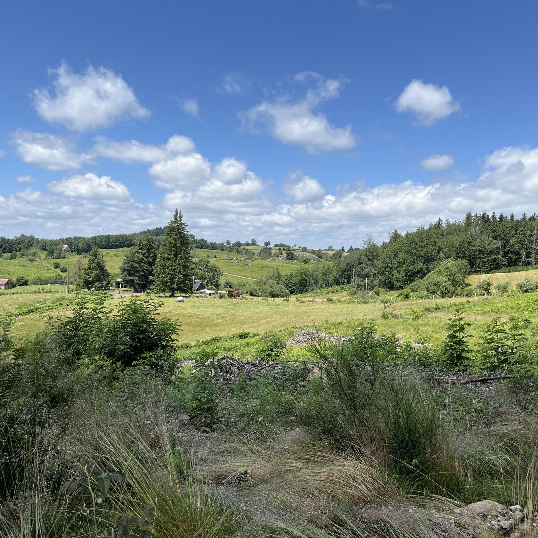
The route takes you through incredibly beautiful scenery as you head up the valley.
1
0

This pass is rather easy if we compare it with what awaits us, the Puy Mary
1
0
It's steep but you absolutely have to do this pass because the landscape is magnificent.
1
0

Unobstructed view of Lake Lastouille, which is very popular for swimming and fishing. It is entirely bordered by forests and summer pastures and is one of the largest water reservoirs in the Dordogne basin. Absolutely perfect for a dip in hot weather!
0
0


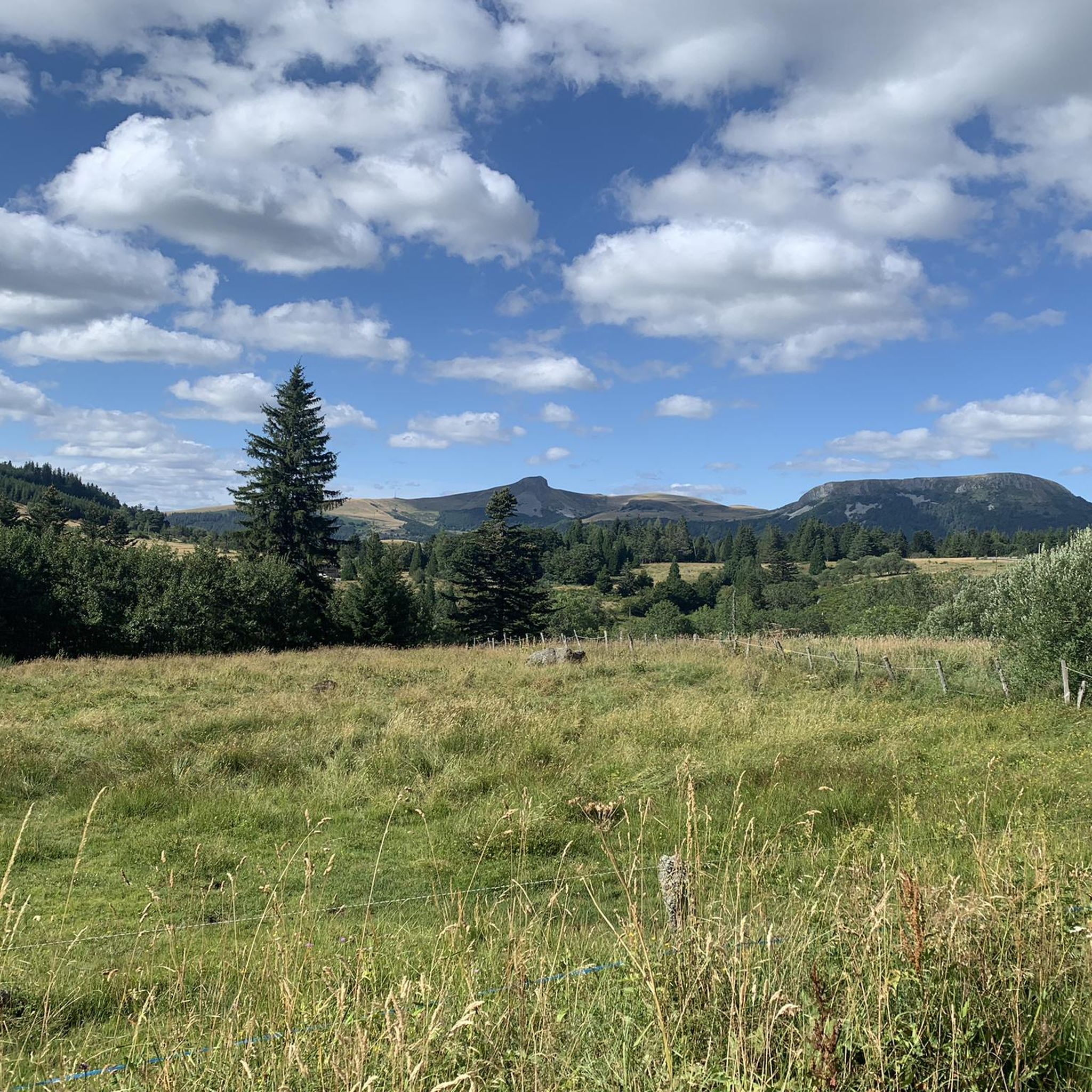
At an altitude of 1,588 meters, the Pas de Peyrol is located between the Puy Mary and the Puy de la Tourte. It is known to be the highest road pass in the Massif Central and is worth it, because the last few kilometers have high percentages. There you can admire Puy Mary which peaks at an altitude of 1,783 metres. It is one of the peaks of the Cantal mountains. It is easily recognizable with its pyramidal silhouette.
1
0
サン・テティエンヌ=ド=ショメイユでのの人気観光スポット

komootモバイルアプリでインスピレーションを得よう


さらに探索
他の地域の最高のロードサイクリングルートを見てみましょう。
