サンプリックスのおすすめランニングルート
4.3
(32)
564
ランナー
146
ランニング
サンプリックスでランニングを楽しめば、このエリアをより深く知ることができます。ランニングに適した美しいルートが見つかるように、komootがサンプリックスでのルートのコレクション全体を評価して選び抜いた、人気ランニングトレイルをご紹介します。ルートをクリックして詳細を表示し、他のユーザーがアップロードした役立つ情報や写真を閲覧しましょう。
最終更新日: 10月 22, 2026
4.5
(4)
46
ランナー
23km
03:12
940m
930m
難しいジョギング. 標準以上のフィットネスレベルが必要です。 全般的に舗装された状態です。あらゆるスキルレベルに適しています。
19
ランナー
12.6km
01:34
330m
330m
難しいジョギング. 標準以上のフィットネスレベルが必要です。 全般的に舗装された状態です。あらゆるスキルレベルに適しています。

19
ランナー
11.0km
01:20
320m
320m
難しいジョギング. 標準以上のフィットネスレベルが必要です。 全般的に舗装された状態です。あらゆるスキルレベルに適しています。
5.0
(1)
16
ランナー
16.5km
02:03
500m
500m
難しいジョギング. 標準以上のフィットネスレベルが必要です。 全般的に舗装された状態です。あらゆるスキルレベルに適しています。
6
ランナー
7.03km
00:50
180m
180m
中程度のジョギング. ある程度のフィットネスレベルが必要です。 全般的に舗装された状態です。あらゆるスキルレベルに適しています。
さらに多くのルートや他のユーザーのおすすめ情報を確認できます。
すでにアカウントをお持ちですか?
おすすめのツアーは他のkomootユーザーが実際に経験した何千ものアクティビティに基づいています。
無料アカウントで今日から始めよう
次の冒険が待っています。
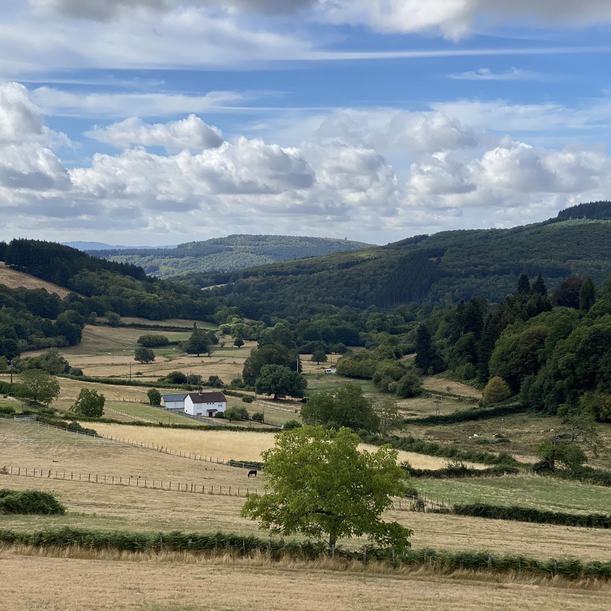
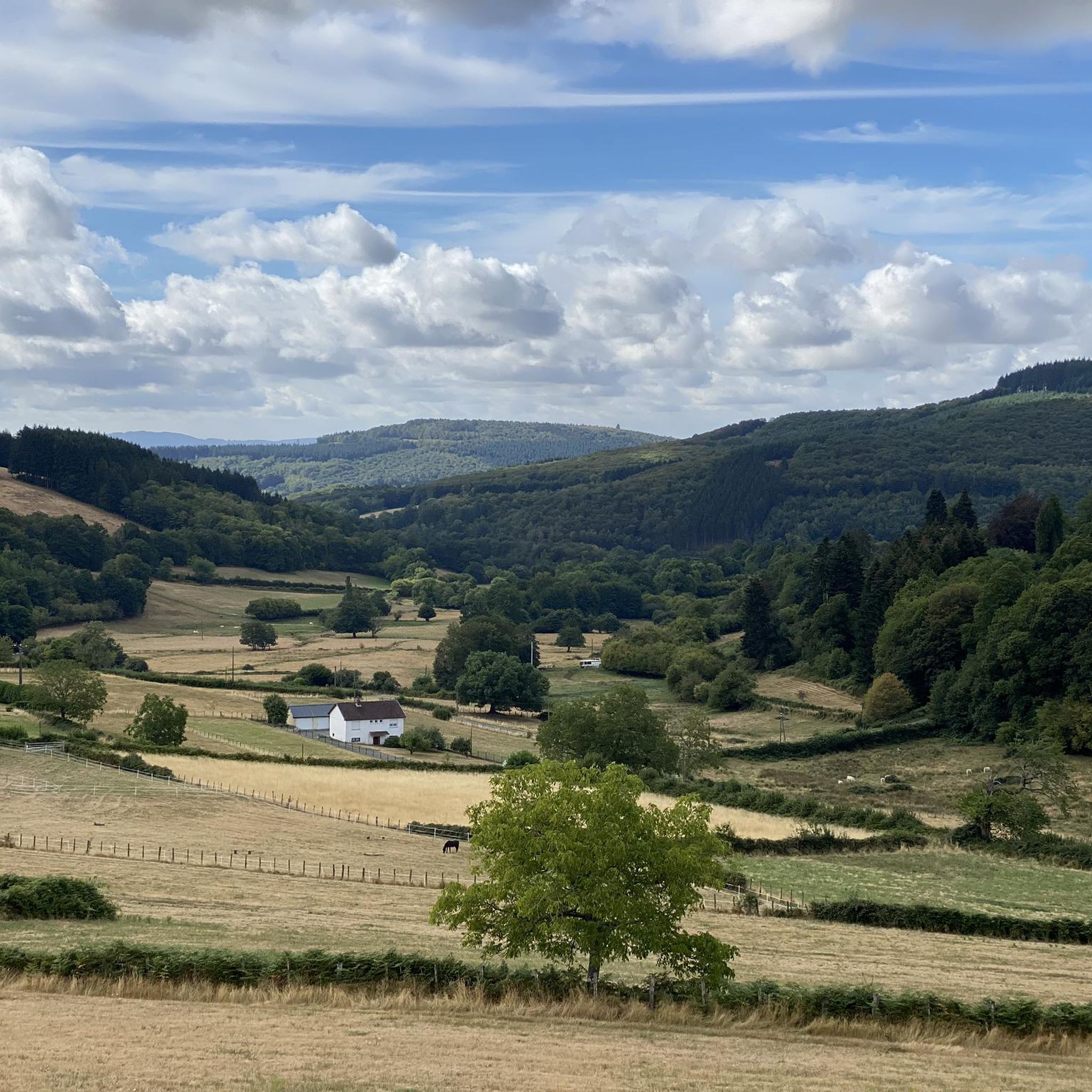
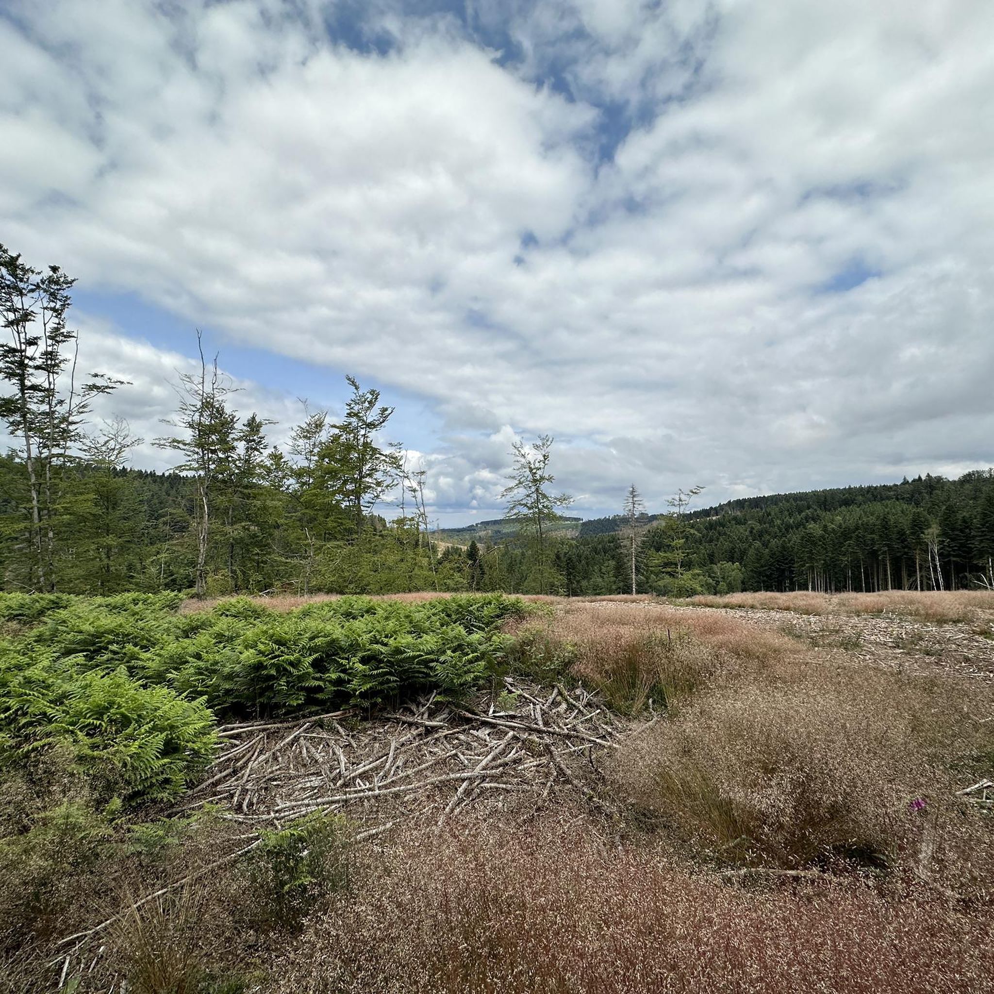
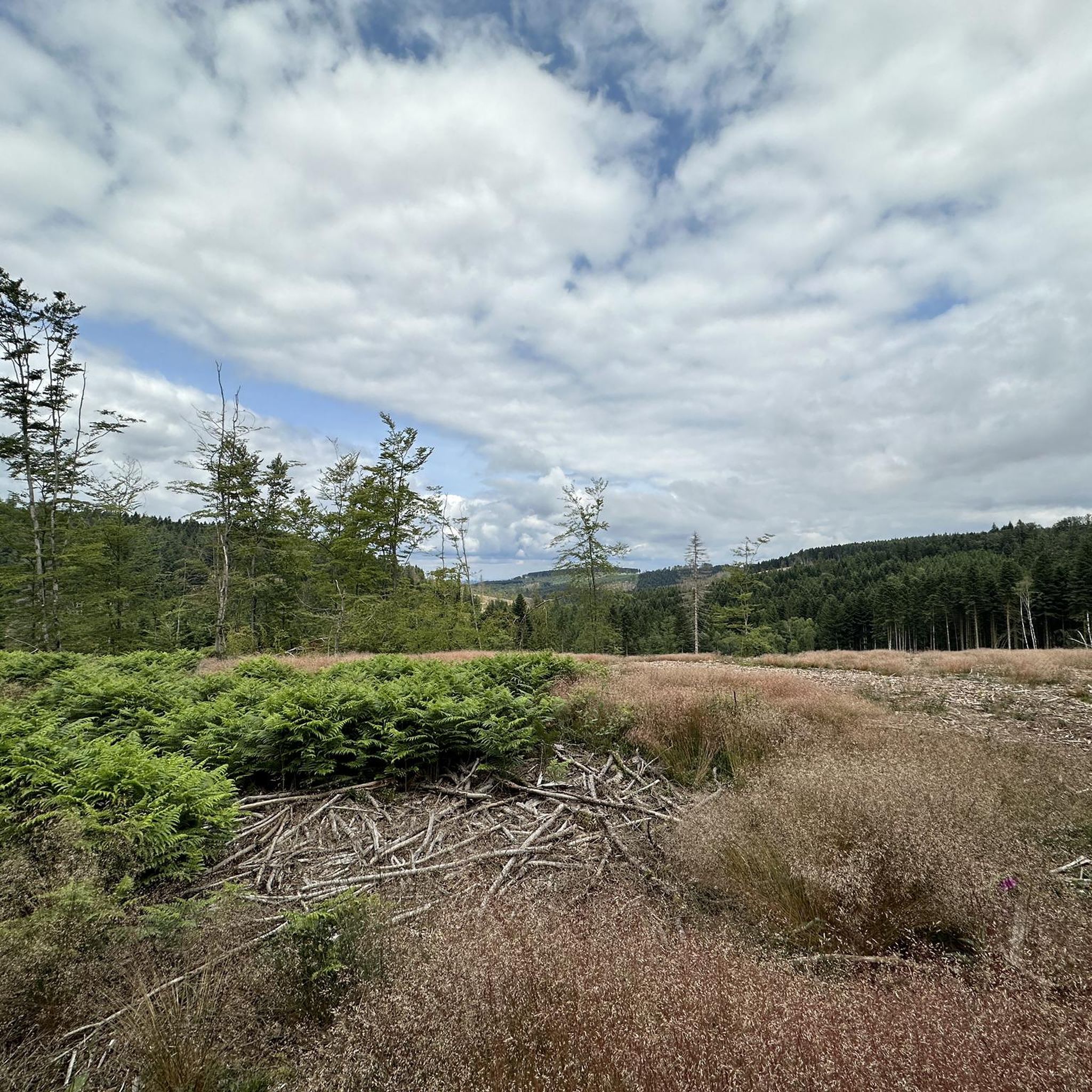
コミュニティからのヒント


The archaeological site of Bibracte—an ancient fortified Gallic town (an oppidum), capital of the Aedui people—located a few kilometers from Mont Beuvray, welcomes researchers and students. The site, classified as a "Grand Site de France," reveals an exceptional heritage.
0
0

Haut-Folin is the highest point in the Morvan region and, more broadly, in Burgundy, at 901 meters above sea level. This mountain boasts a beautiful natural setting with areas covered in deciduous and coniferous trees. It is also the starting point for numerous hiking and cycling trails.
1
0

Highest point of Morvan, Saône-et-Loire and Burgundy at 901m. Up there is a teletransmission antenna in the middle of the forest.
0
0

Combine your visit with a walk through the forest and experience the fabulous views and the fantastic forest.
0
0

The Bibracte museum retraces the life of the Euden capital. Located at the foot of Mont Beuvray, the museum is open from mid-March to mid-November and is located a few hundred meters from the archaeological site of Bibracte.
0
1
サンプリックスでのの人気観光スポット

komootモバイルアプリでインスピレーションを得よう


さらに探索
他の地域の最高のランニングトレイル & ルートを見てみましょう。
