モンセクレ-クレールフジェールのおすすめランニングルート
4.5
(72)
2,449
ランナー
198
ランニング
モンセクレ-クレールフジェールでランニングを楽しめば、このエリアをより深く知ることができます。ランニングに適した美しいルートが見つかるように、komootがモンセクレ-クレールフジェールでのルートのコレクション全体を評価して選び抜いた、人気ランニングトレイルをご紹介します。ルートをクリックして詳細を表示し、他のユーザーがアップロードした役立つ情報や写真を閲覧しましょう。
最終更新日: 11月 5, 2026
13
ランナー
13.6km
01:38
250m
250m
中程度のジョギング. ある程度のフィットネスレベルが必要です。 ほとんどが舗装路です。
4
ランナー
9.56km
01:10
180m
180m
中程度のジョギング. ある程度のフィットネスレベルが必要です。 ほとんどが舗装路です。

5.0
(1)
6
ランナー
9.98km
01:11
180m
190m
中程度のジョギング. ある程度のフィットネスレベルが必要です。 ほとんどが舗装路です。
3
ランナー
8.31km
00:52
90m
90m
中程度のジョギング. ある程度のフィットネスレベルが必要です。 ほとんどが舗装路です。
3
ランナー
11.8km
01:16
120m
120m
中程度のジョギング. ある程度のフィットネスレベルが必要です。 ほとんどが舗装路です。
さらに多くのルートや他のユーザーのおすすめ情報を確認できます。
すでにアカウントをお持ちですか?
おすすめのツアーは他のkomootユーザーが実際に経験した何千ものアクティビティに基づいています。
無料アカウントで今日から始めよう
次の冒険が待っています。
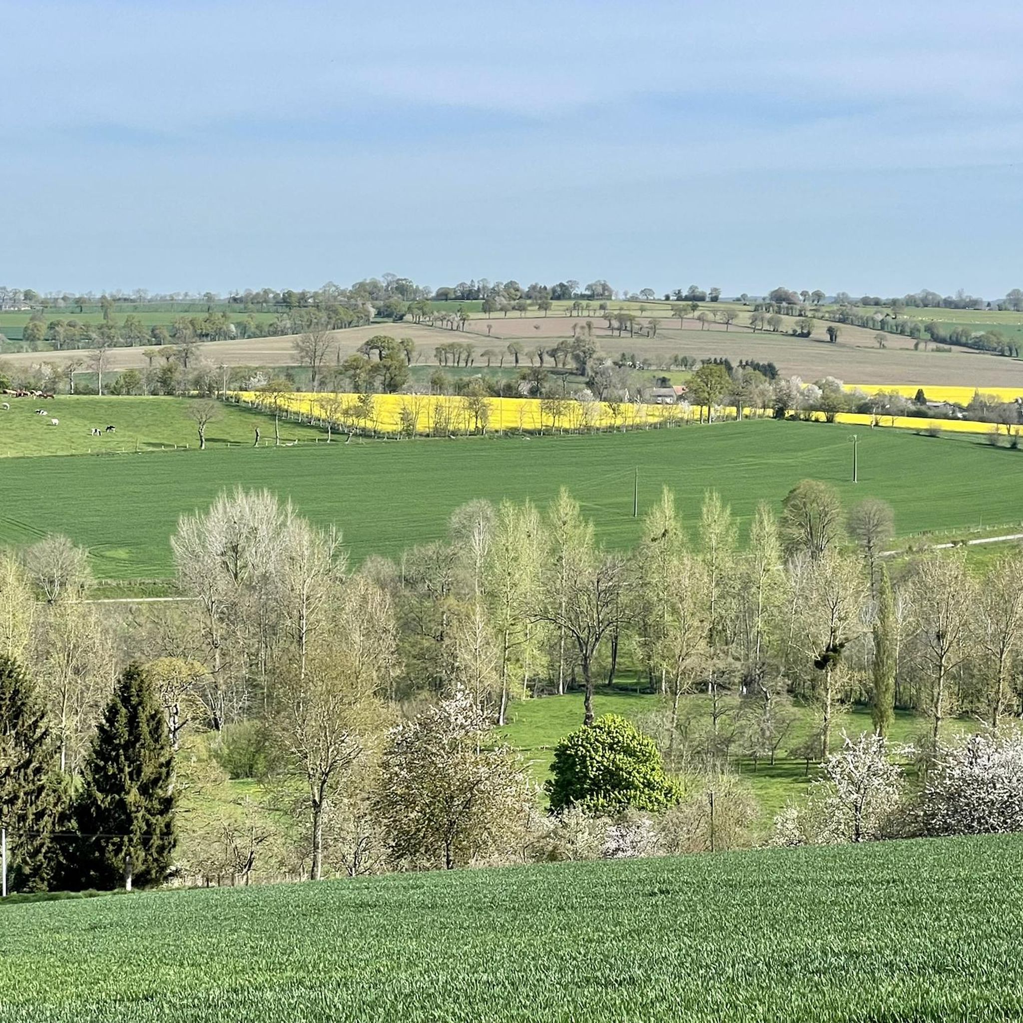
コミュニティからのヒント


Mont de Cerisy is a wooded hill and the highest point in the region. From the top of the tower, you can enjoy breathtaking views of the surrounding countryside and the ruins of an ancient castle. You can also admire the colorful rhododendrons which bloom in May and June, creating a spectacular contrast with the green foliage. Mont de Cerisy is an ideal place for a walk. You will find more information on this site on the Normandie Tourisme website or the Pays de Vire Tourist Office.
2
0
モンセクレ-クレールフジェールでのの人気観光スポット

komootモバイルアプリでインスピレーションを得よう


さらに探索
他の地域の最高のランニングトレイル & ルートを見てみましょう。
