ラ・プラーニュ-タランテーズのおすすめランニングルート
4.5
(58)
5,109
ランナー
74
ランニング
ラ・プラーニュ-タランテーズでランニングを楽しめば、このエリアをより深く知ることができます。ランニングに適した美しいルートが見つかるように、komootがラ・プラーニュ-タランテーズでのルートのコレクション全体を評価して選び抜いた、人気ランニングトレイルをご紹介します。ルートをクリックして詳細を表示し、他のユーザーがアップロードした役立つ情報や写真を閲覧しましょう。
最終更新日: 8月 28, 2026
28
ランナー
6.59km
00:53
220m
220m
中程度のジョギング. ある程度のフィットネスレベルが必要です。 全般的に舗装された状態です。あらゆるスキルレベルに適しています。
249
ランナー
8.35km
01:05
240m
250m
中程度のジョギング. ある程度のフィットネスレベルが必要です。 全般的に舗装された状態です。あらゆるスキルレベルに適しています。

無料新規登録
4.0
(1)
135
ランナー
難しいジョギング. 標準以上のフィットネスレベルが必要です。 安定して歩行できる技術、丈夫な靴、高標高地での登山経験が必要です。
3.0
(4)
128
ランナー
5.71km
00:36
60m
60m
中程度のジョギング. ある程度のフィットネスレベルが必要です。 全般的に舗装された状態です。あらゆるスキルレベルに適しています。
70
ランナー
26.0km
03:36
1,380m
1,380m
難しいジョギング. 標準以上のフィットネスレベルが必要です。 全般的に舗装された状態です。あらゆるスキルレベルに適しています。
さらに多くのルートや他のユーザーのおすすめ情報を確認できます。
無料新規登録
すでにアカウントをお持ちですか?
おすすめのツアーは他のkomootユーザーが実際に経験した何千ものアクティビティに基づいています。
無料アカウントで今日から始めよう
次の冒険が待っています。
ログインまたは登録
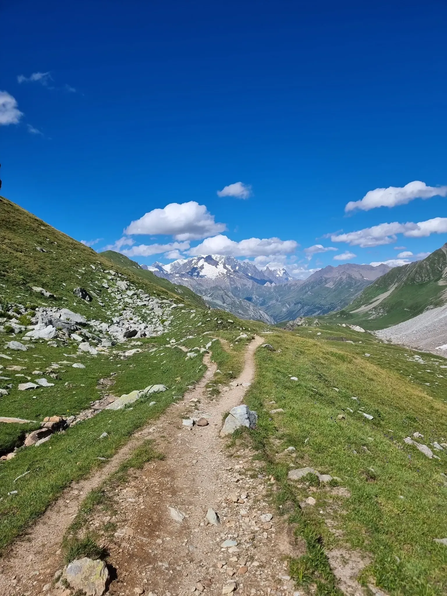
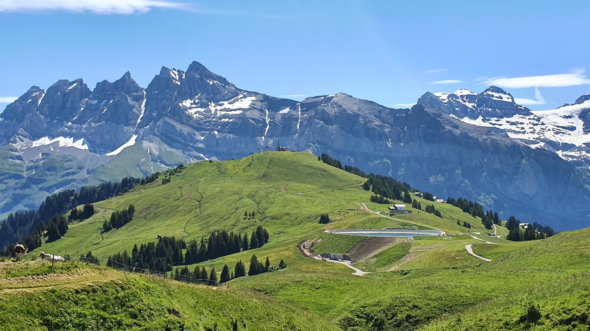

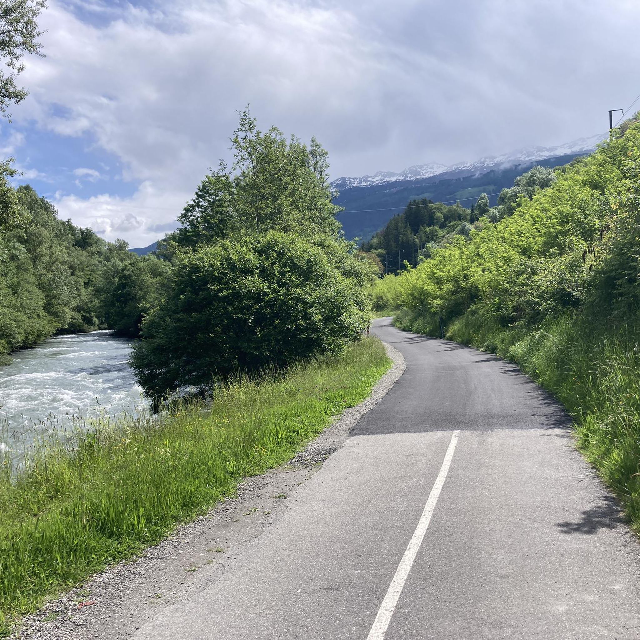




コミュニティからのヒント


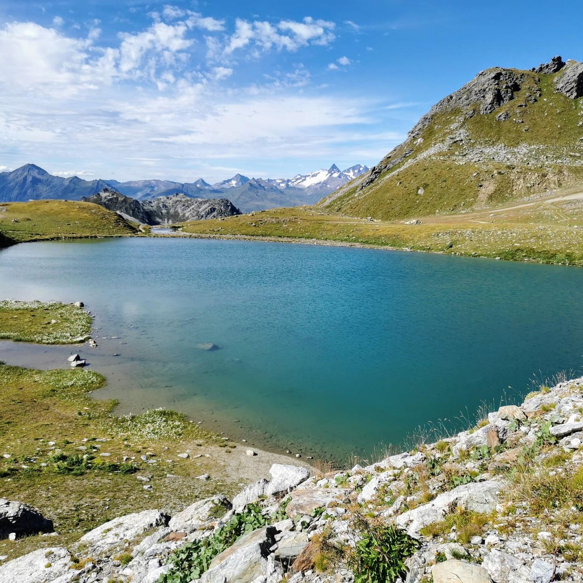
When you hike in this countryside near Plagne Soleil, you will find yourself in a charming alpine landscape where the chances of spotting marmots in their natural habitat are high. You will likely see these charming creatures sunbathing in the lush meadows and rocky outcrops. As you hike the trail, you will be rewarded with panoramic views of snow-capped peaks and wildflowers. If you are not lucky enough to spot them, their playful whistles are an experience not to be missed. By hiking in this area, you will establish a unique connection with the flora and fauna of the region.
2
0

Ideal for relaxing and refreshing.
1
0


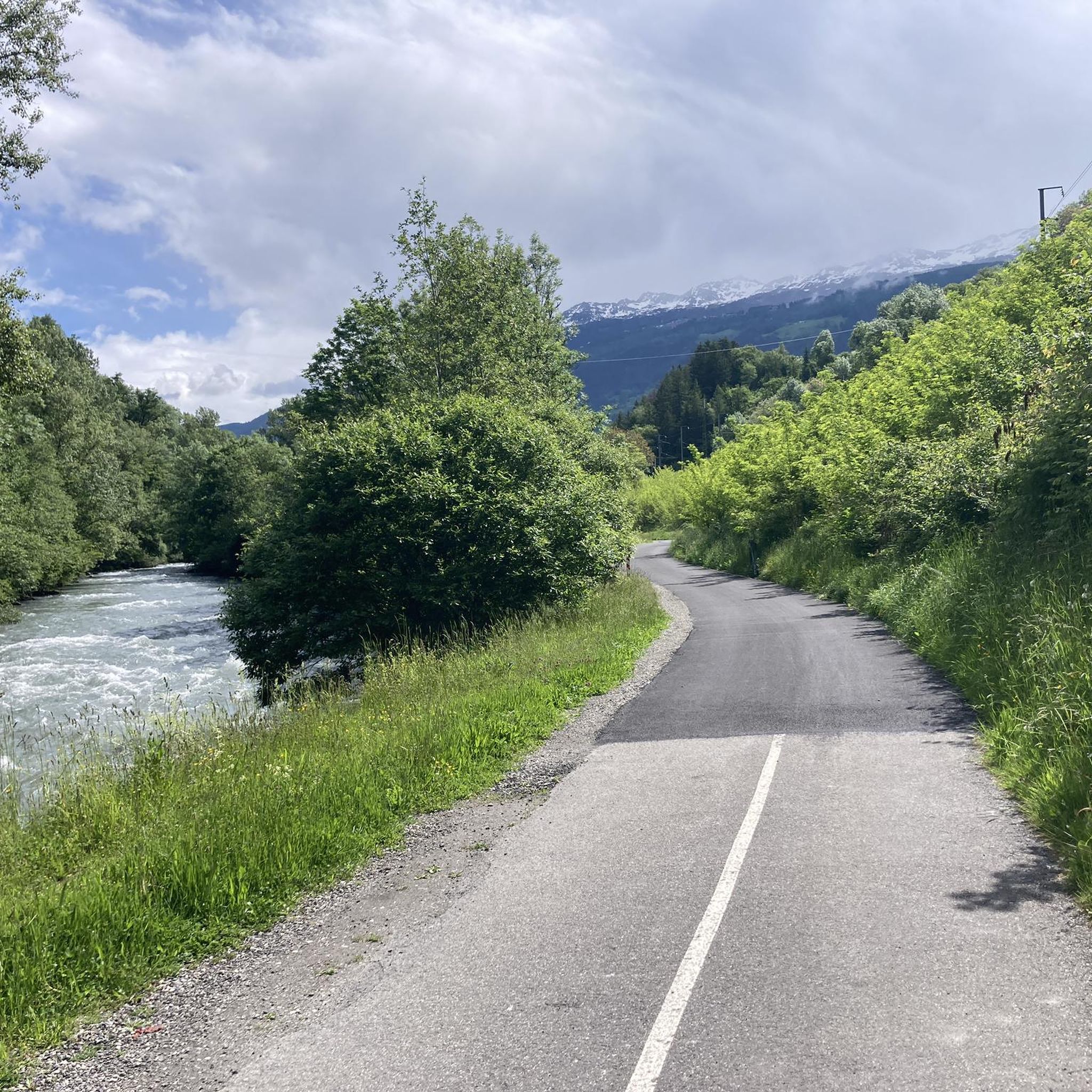
Beautiful 22 kilometer unpaved climb to the Col du Jovet above Bozel in the Vanoise Alps. It is a huge and fabulous climb (almost 2000 meters of ascent). But the views from the top of the south side, including an attractive farm road, promised an even better climb. We start at Bozel, well below Courchevel. The first 6 kilometers are paved, but it turns into a bumpy farm road at 1300 meters of altitude. After the flat part in the middle of the previous profile, the route rises above the tree line. The trail is occasionally very rough and rocky, although it gets better higher up. But this requires a mountain bike or at least a suspension hybrid. The path ends at 2360 meters at the Refuge du Jovet, but the Col itself is only a few hundred meters away, a short steep walk.
1
0

ラ・プラーニュ-タランテーズでのの人気観光スポット

komootモバイルアプリでインスピレーションを得よう


さらに探索
他の地域の最高のランニングトレイル & ルートを見てみましょう。
