メルトーラのおすすめMTBライド
4.1
(8)
39
ライダー
9
ライド
メルトーラ周辺には魅力的なマウンテンバイクルートがいくつもありますが、冒険を始めるにはその場所とルートを把握する必要があります。ここでは、komootが提供するメルトーラ周辺でのマウンテンバイクルートのコレクション全体を評価して選び抜いた、人気ルートをご紹介します。各ライドの詳細をぜひご覧ください。
最終更新日: 9月 30, 2026
1
ライダー
71.8km
05:20
700m
700m
難しいマウンテンバイクライド. 標準以上のフィットネスレベルが必要です。 高度なライディングスキルが必要です。
4.0
(1)
6
ライダー
初級者向けMTBライド. あらゆるフィットネスレベルに適しています。 あらゆるスキルレベルに適しています。

4.5
(4)
6
ライダー
22.2km
01:58
370m
370m
中程度のマウンテンバイクライド. ある程度のフィットネスレベルが必要です。 あらゆるスキルレベルに適しています。
4.0
(2)
4
ライダー
59.4km
04:54
760m
760m
中程度のマウンテンバイクライド. ある程度のフィットネスレベルが必要です。 あらゆるスキルレベルに適しています。
4.0
(1)
4
ライダー
64.3km
04:44
720m
720m
中程度のマウンテンバイクライド. ある程度のフィットネスレベルが必要です。 あらゆるスキルレベルに適しています。
さらに多くのルートや他のユーザーのおすすめ情報を確認できます。
すでにアカウントをお持ちですか?
おすすめのツアーは他のkomootユーザーが実際に経験した何千ものアクティビティに基づいています。




コミュニティからのヒント

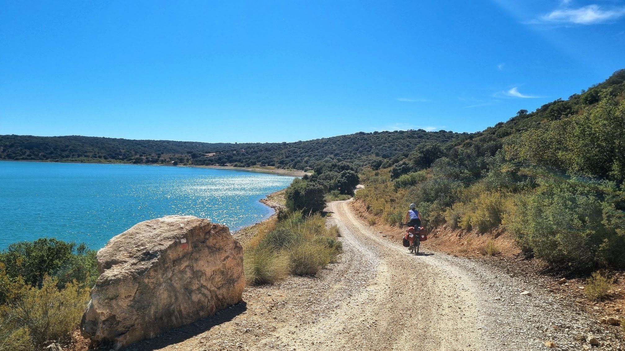
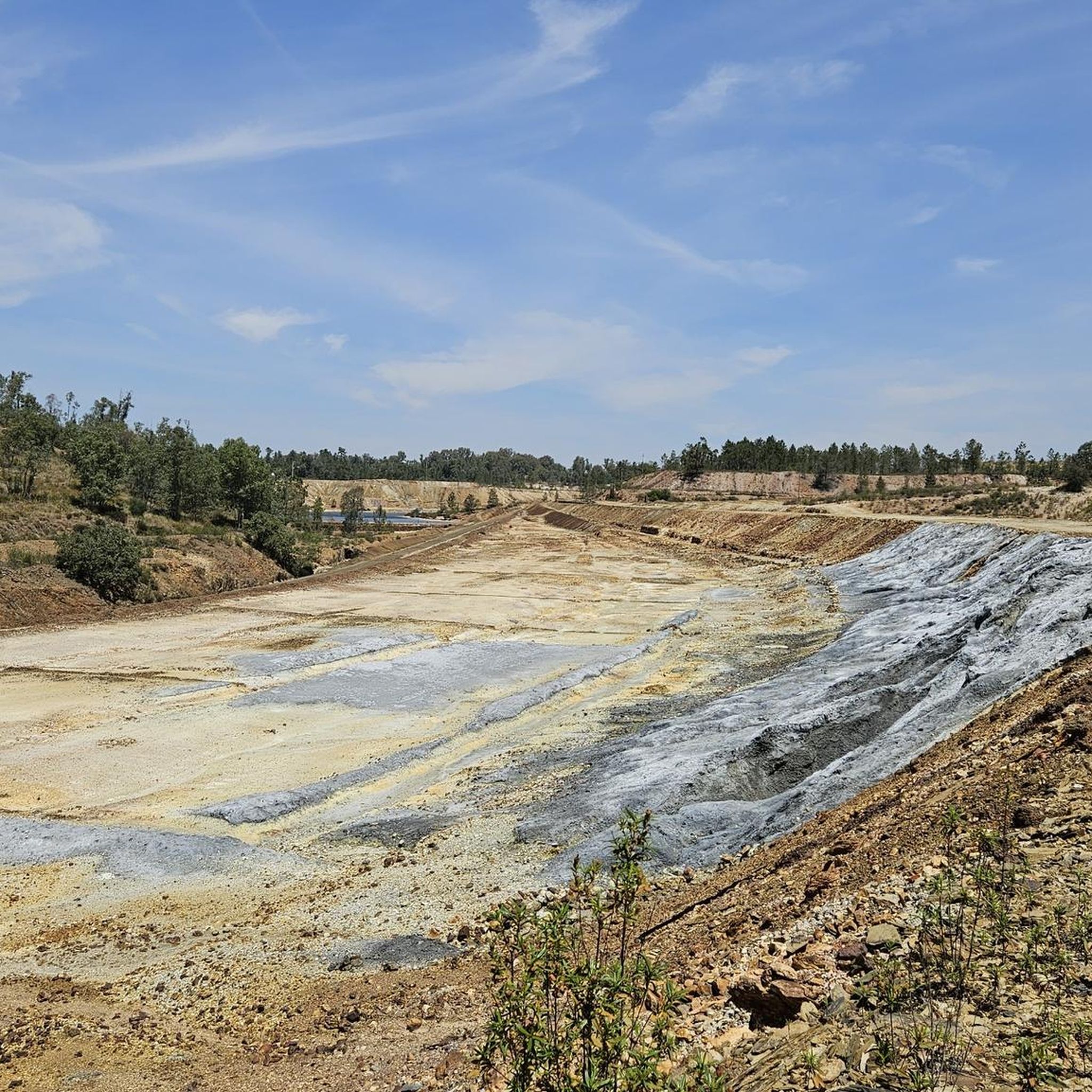
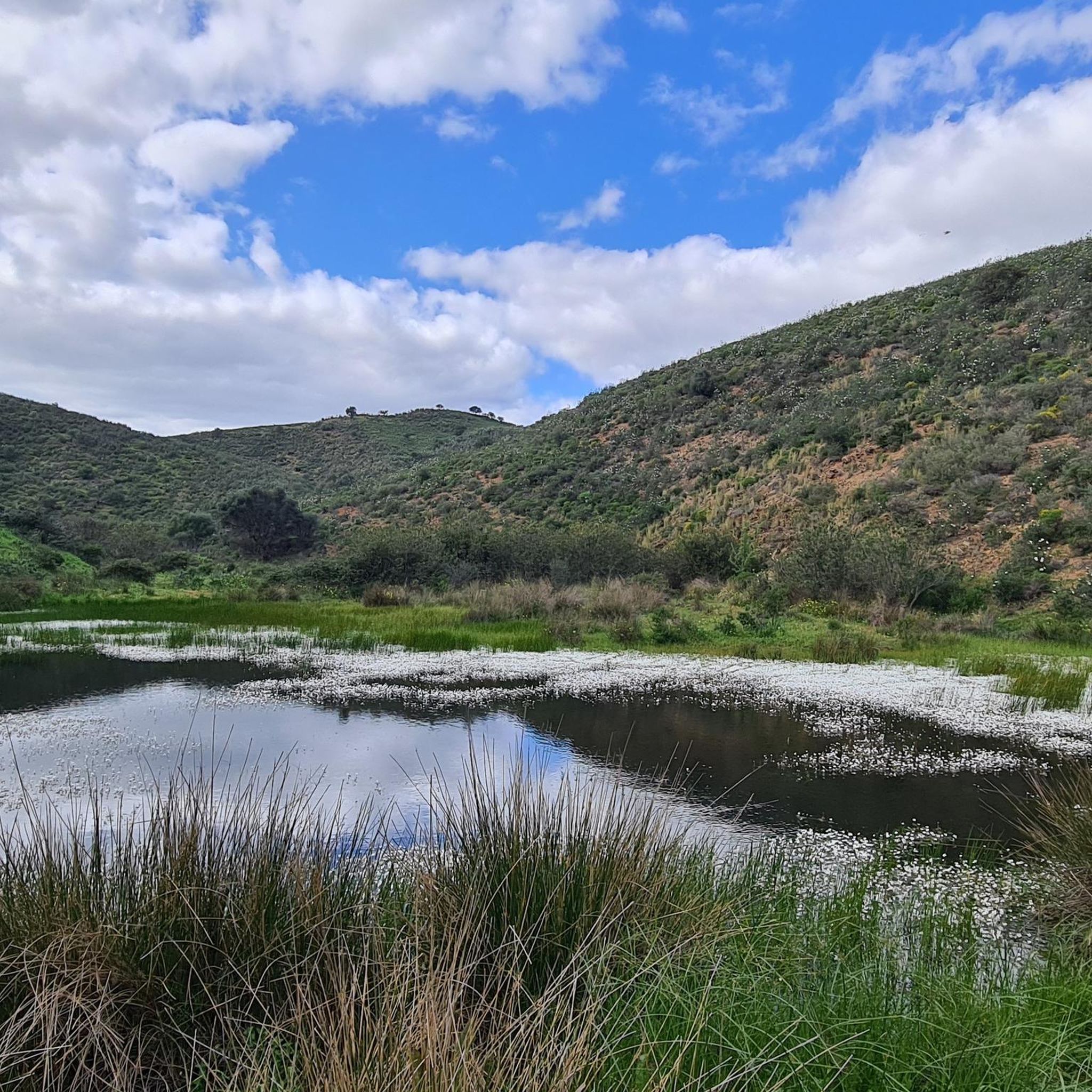
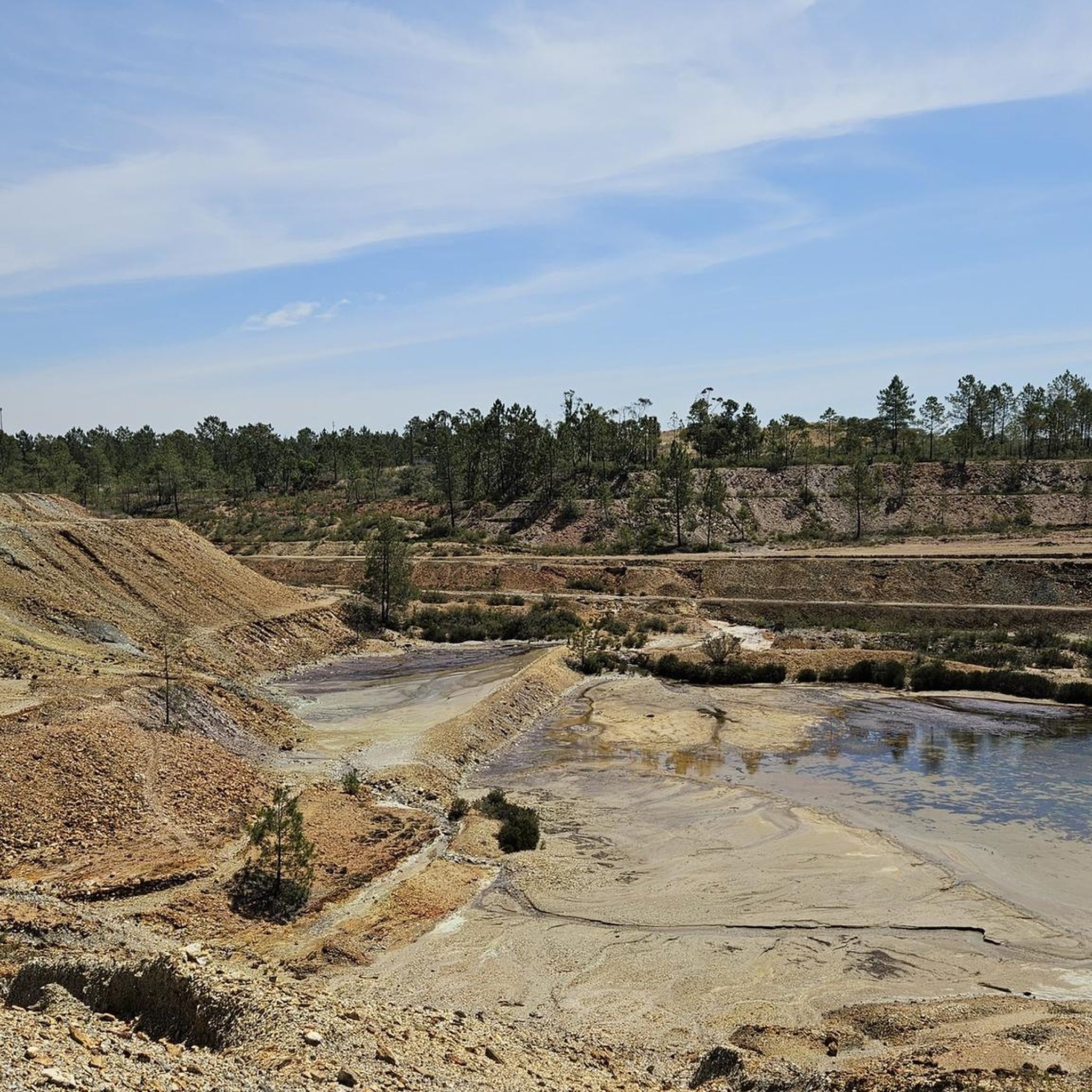
アレンテージョ地方メルトラ郡にあるサン・ドミンゴス鉱山の遺跡は、イベリア半島で最も印象的で謎めいた放棄された産業景観の一つです。ローマ時代にまで遡る起源を持つこの複合施設は、1854年以降、英国のメイソン&バリー社(Mason & Barry)の経営下で最盛期を迎え、1966年に閉鎖されるまで、銅黄鉄鉱と硫黄の大量採掘に特化した真の産業的飛び地となりました。放棄されたことで、ほぼ黙示録的な風景が広がり、赤みがかった土壌、酸性の水、そして老朽化した古い石造りの構造物が、写真家、好奇心旺盛な人々、そして産業観光愛好家を惹きつけています。👍🥾🚲
0
0
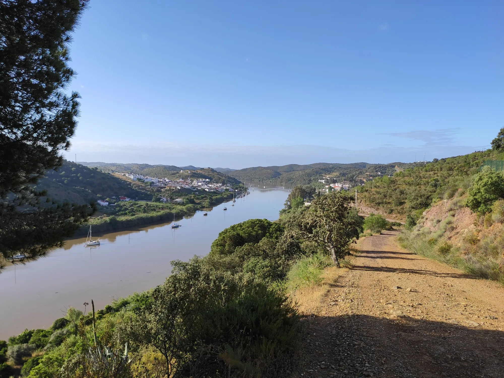
メートルラは、ベイジャ県、バイショ・アレンテージョ地方に位置する歴史的なポルトガルの国境の村です。「博物館の村」として人気のあるこの集落は、オエイラス川とグアディアナ川の合流点にある岩がちな露頭に戦略的にそびえ立っています。ここは川の最後の航行可能な地点であるため、この村は数世紀にわたり様々な文明にとって極めて重要な商業的および軍事的役割を果たしてきました。👍🥾🚲
0
0
The Great Guadiana Route (GR15) is a long-distance linear hiking trail (approximately 65 km in the Algarve, with extensions in the Alentejo) that follows the Guadiana River, connecting the Algarve coast (Vila Real de Santo António) to the mountainous interior (Alcoutim and Mértola), crossing diverse landscapes (mountains, Barrocal, coastline), cultural and natural heritage, making it ideal for hiking and mountain biking, with connection points to other routes such as the Via Algarviana (GR13). 👍🥾🦯
0
0

High on a hill near Afonso Vicente, stand the Lavajo Menhirs, Neolithic stone sentinels that have guarded the silence of this valley for over five thousand years. Carved in greywacke and engraved with circles and dimples, these monoliths seem to align themselves in an ancient mystery. Recovered and restored in 2004, they have returned to their original location, inviting passersby to imagine a time when the stone spoke to the sun.
2
0
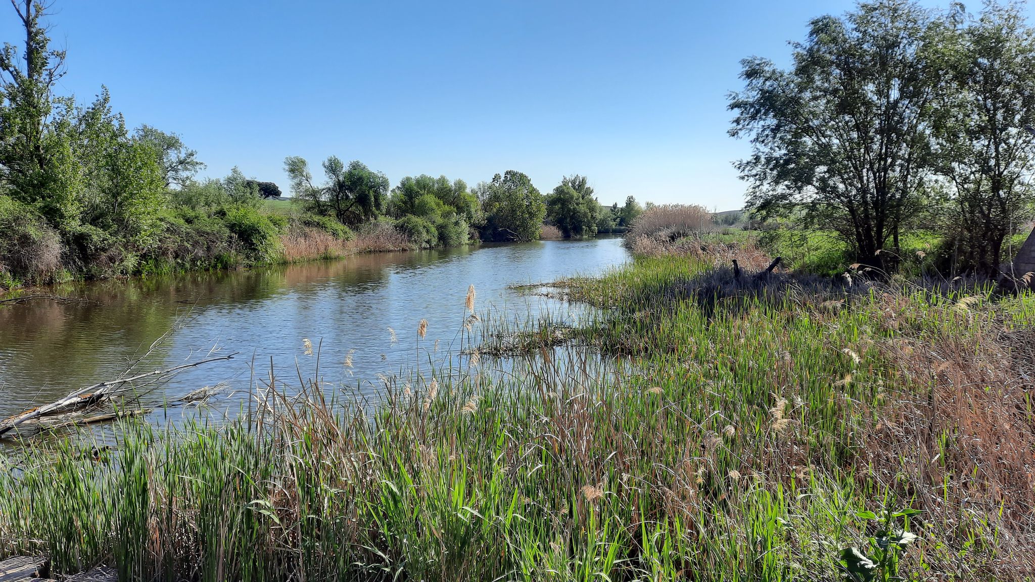
Along the Guadiana, the path meanders serenely, following the river's slow rhythm between hills of olive, almond, and fig trees. A former river of fishermen and miners, the Guadiana, called the "river of ducks" by the Romans, continues to connect Alentejo with Algarve and Portugal with Spain, a tranquil mirror of southern history and life.
2
0

On the south bank of the Guadiana, before crossing into the city, you have a beautiful view of Mértola, especially with its castle at the top of the hill and the rest of the city spread out over the hill.
2
0
Mértola's chapels are located in high or hidden places. It is said that the higher they are, the closer to God and the more intense the devotion they inspire. Rarely used in daily life, they come to life especially during festive times, when the community gathers to celebrate. The chapel of Nossa Senhora do Amparo is no exception: situated in a privileged spot, it offers a superb panorama, capable of leaving anyone immersed in contemplative silence.
1
0
メルトーラでのの人気観光スポット

komootモバイルアプリでインスピレーションを得よう


さらに探索
他の地域の最高のMTBトレイルを見てみましょう。
