レゼンデのおすすめMTBライド
4.5
(8)
85
ライダー
18
ライド
レゼンデ周辺には魅力的なマウンテンバイクルートがいくつもありますが、冒険を始めるにはその場所とルートを把握する必要があります。ここでは、komootが提供するレゼンデ周辺でのマウンテンバイクルートのコレクション全体を評価して選び抜いた、人気ルートをご紹介します。各ライドの詳細をぜひご覧ください。
最終更新日: 9月 2, 2026
4
ライダー
33.5km
03:11
890m
890m
This moderate 20.8-mile mountain biking loop from Baião explores the Serra da Aboboreira, visiting ancient dolmens and scenic viewpoints.
5.0
(1)
1
ライダー
65.4km
06:53
2,140m
2,140m
This difficult 40.6-mile mountain bike loop from Baião features 7019 feet of climbing to the Mafómedes waterfall.

1
ライダー
22.0km
02:16
590m
590m
中程度のマウンテンバイクライド. ある程度のフィットネスレベルが必要です。 あらゆるスキルレベルに適しています。
5.0
(3)
23
ライダー
43.1km
03:41
1,060m
1,060m
難しいマウンテンバイクライド. 標準以上のフィットネスレベルが必要です。 高度なライディングスキルが必要です。
8
ライダー
57.6km
03:55
960m
960m
難しいマウンテンバイクライド. 標準以上のフィットネスレベルが必要です。 あらゆるスキルレベルに適しています。
さらに多くのルートや他のユーザーのおすすめ情報を確認できます。
すでにアカウントをお持ちですか?
おすすめのツアーは他のkomootユーザーが実際に経験した何千ものアクティビティに基づいています。
無料アカウントで今日から始めよう
次の冒険が待っています。
コミュニティからのヒント

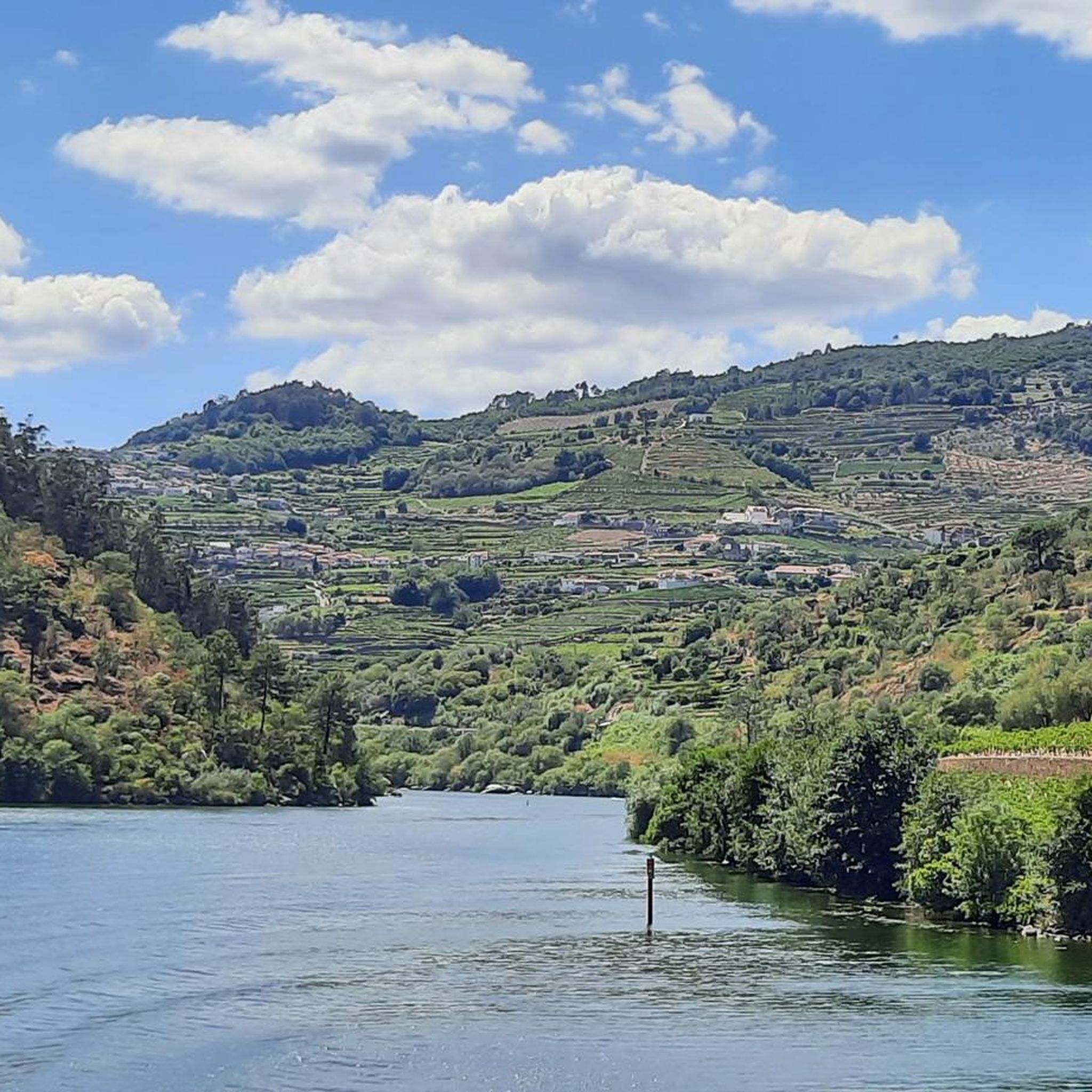
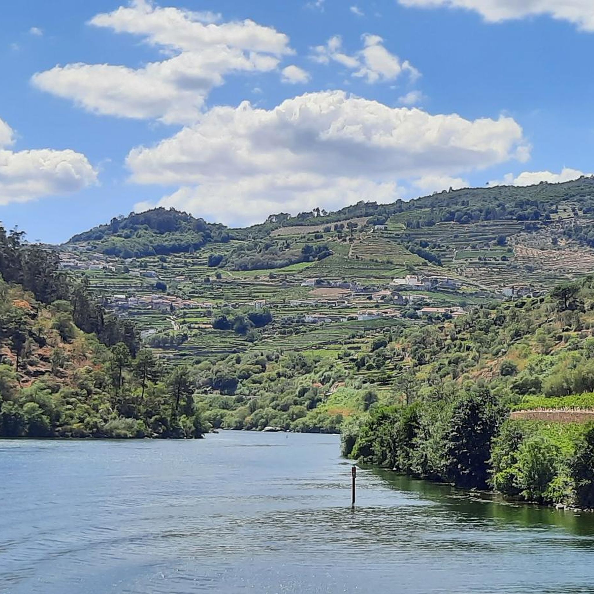
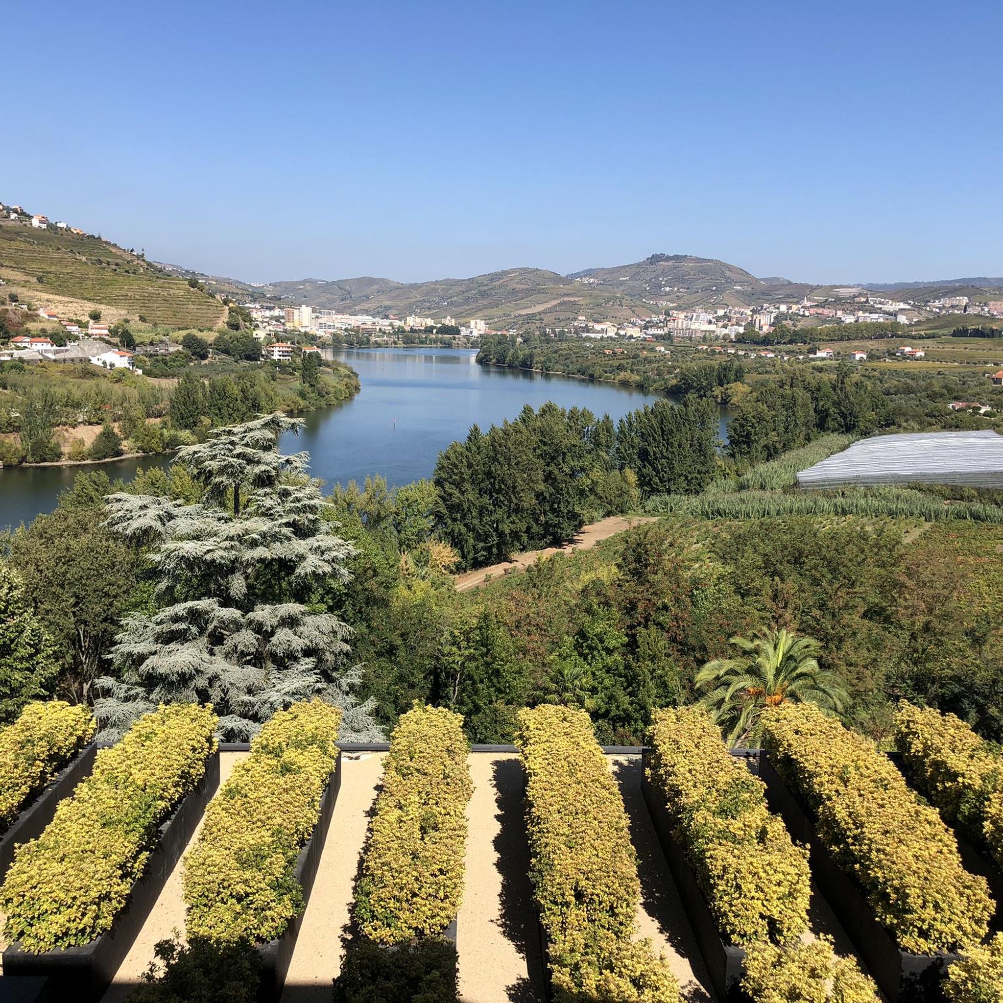
特に、素敵なレストランのテラスからは、ドウロ川、コベリニャス村、そして川の反対側の斜面に位置するフォローザ村の美しい景色を眺めることができます。
1
0

The São Leonardo de Galafura viewpoint is one of the most emblematic and beautiful observation points in the Douro Valley, Portugal. Located at the highest point of Monte de São Leonardo, in the parish of Galafura, it offers an unparalleled view over the Douro landscape, classified as a World Heritage Site by UNESCO. Highlights and Information Panoramic View: From the viewpoint, it is possible to see the confluence of the Pêgo River with the Douro River in a curve that resembles a comma, a beautiful spot and perfect for watching an unforgettable sunset. Poetic Inspiration: The place served as inspiration for the Portuguese writer Miguel Torga, who described it poetically, highlighting the "excess of nature" in the landscape. Chapel: At the highest point of the viewpoint is the Chapel of São Leonardo, which complements the natural and historical scenery of the place. Activities: The area is suitable for hiking, and there are trails nearby that can be explored, such as those listed on Wikiloc. Location Address: Estrada São Leonardo - Galafura, Peso da Régua, 5050-044 Portugal. Access: Access is by road, and the viewpoint is a common stopping point on tours and excursions through the Douro region. For more details about the region and other attractions, you can consult the Douro Itinerary.
2
0

The parking area for motorhomes directly on the Douro River
1
0

A worthwhile museum, which scores points despite/or because of its very minimalist presentation of the subject matter. At the end, enjoy a port wine on the terrace of the museum's café.
1
0

The slopes of the Douro are truly spectacular. Stunning landscapes. 👍🥾
1
0

Unfortunately, at the beginning it is impossible to cycle!!!
0
0
The Corgo Eco-Trail is the result of the restoration of part of the old Corgo railway line, which connects Régua to Chaves. The Eco-Trail currently begins in Abambres, in the municipality of Vila Real, and continues north towards Chaves, connecting to Verín (Spain) via the Corgo International Eco-Trail. This is a panoramic route where the Corgo River is your travelling companion, as well as the Marão and Alvão mountains and the Vale de Aguiar, along a route where agricultural fields are a constant presence. Vineyards and fruit trees characterise the landscape and their colours, which vary depending on the time of year, form a natural and diverse palette of colours. In addition to all the existing railway heritage, Pedras Salgadas, Vidago and Chaves stand out, both known for their famous thermal waters. Would you like to download the route of this Eco-Trail? To read this file, you will need a GPS application designed for outdoor exercise.
0
0

The impressive Mafómedes waterfall is fed by the Rio Teixeira and nearby there are also some natural pools where you can stop for a refreshing break.
0
0
レゼンデでのの人気観光スポット

komootモバイルアプリでインスピレーションを得よう


さらに探索
他の地域の最高のMTBトレイルを見てみましょう。
