ゼーンデのおすすめランニングルート
4.5
(79)
1,528
ランナー
185
ランニング
ジョギングは、緩やかに起伏する地形、農地、点在する森林地帯を特徴とする多様な景観を提供します。この地域には、ミッテルラント運河沿いや田園地帯を走る遊歩道のネットワークがあり、ランニングに変化に富んだ景色を提供します。ボックマーホルツのような地元の緑地や公園は、アクセスしやすいアウトドアの選択肢を提供します。この地域の比較的平坦な地形は、幅広いレベルのランナーに適しており、ハノーファー地方のより広範な自然の魅力とシームレスに接続されています。
ゼーネ周辺の最高のジョギングコース
- 最も人気のあるジョギングコースは、ホーファー発、ホルシム・マール採石場・ホーファー~マール・ピット・ホーファー周回コースです。このコースは3.8マイル(6.1km)で、所要時間は約39分で、採石場エリアの景色を楽しめます。
- 地元のランナーに人気のもう一つのコースは、イリテン発、カルベルクの眺めの周回コースです。このコースは中程度の難易度で6.5マイル(10.4km)あり、カルベルクの風光明媚な景色を楽しめます。
- 地元のランナーに愛されているのは、ホーファー発、ミッテルラント運河~クロンベルク展望台周回コースです。この14.0km(8.7マイル)のコースは、運河沿いの遊歩道を通ってクロンベルク展望台へと続き、所要時間は約1時間32分です。
- ゼーネ周辺のジョギングは、広大な農地の景観、ミッテルラント運河、そして地元の緑地によって特徴づけられます。このネットワークは、簡単なものから難しいものまで、あらゆるレベルのランナーに対応するオプションを提供します。
- ゼーネのコースは、komootコミュニティから高く評価されており、50件以上のレビューで平均4.5つ星を獲得しています。1000人以上のランナーがkomootを利用して、ゼーネの多様な地形を探索しています。
最終更新日: 10月 20, 2026
5.0
(1)
43
ランナー
6.08km
00:39
40m
40m
中程度のジョギング. ある程度のフィットネスレベルが必要です。 ほとんどが舗装路です。
4.6
(10)
40
ランナー
10.3km
01:04
20m
20m
中程度のジョギング. ある程度のフィットネスレベルが必要です。 ほとんどが舗装路です。

4.5
(2)
37
ランナー
6.25km
00:40
30m
30m
中程度のジョギング. ある程度のフィットネスレベルが必要です。 ほとんどが舗装路です。
5.0
(5)
36
ランナー
14.2km
01:33
120m
120m
中程度のジョギング. ある程度のフィットネスレベルが必要です。 ほとんどが舗装路です。
25
ランナー
14.5km
01:30
30m
30m
中程度のジョギング. ある程度のフィットネスレベルが必要です。 ほとんどが舗装路です。
さらに多くのルートや他のユーザーのおすすめ情報を確認できます。
すでにアカウントをお持ちですか?
おすすめのツアーは他のkomootユーザーが実際に経験した何千ものアクティビティに基づいています。
無料アカウントで今日から始めよう
次の冒険が待っています。

コミュニティからのヒント

The summit cross on the Kronsberg marks Hanover's highest point – 118 meters above sea level. It stands on an artificially raised observation hill on the southeastern outskirts of the city, near the Expo site. From here, you can enjoy a sweeping view of the city, the Deister Mountains, and the surrounding countryside.
9
0

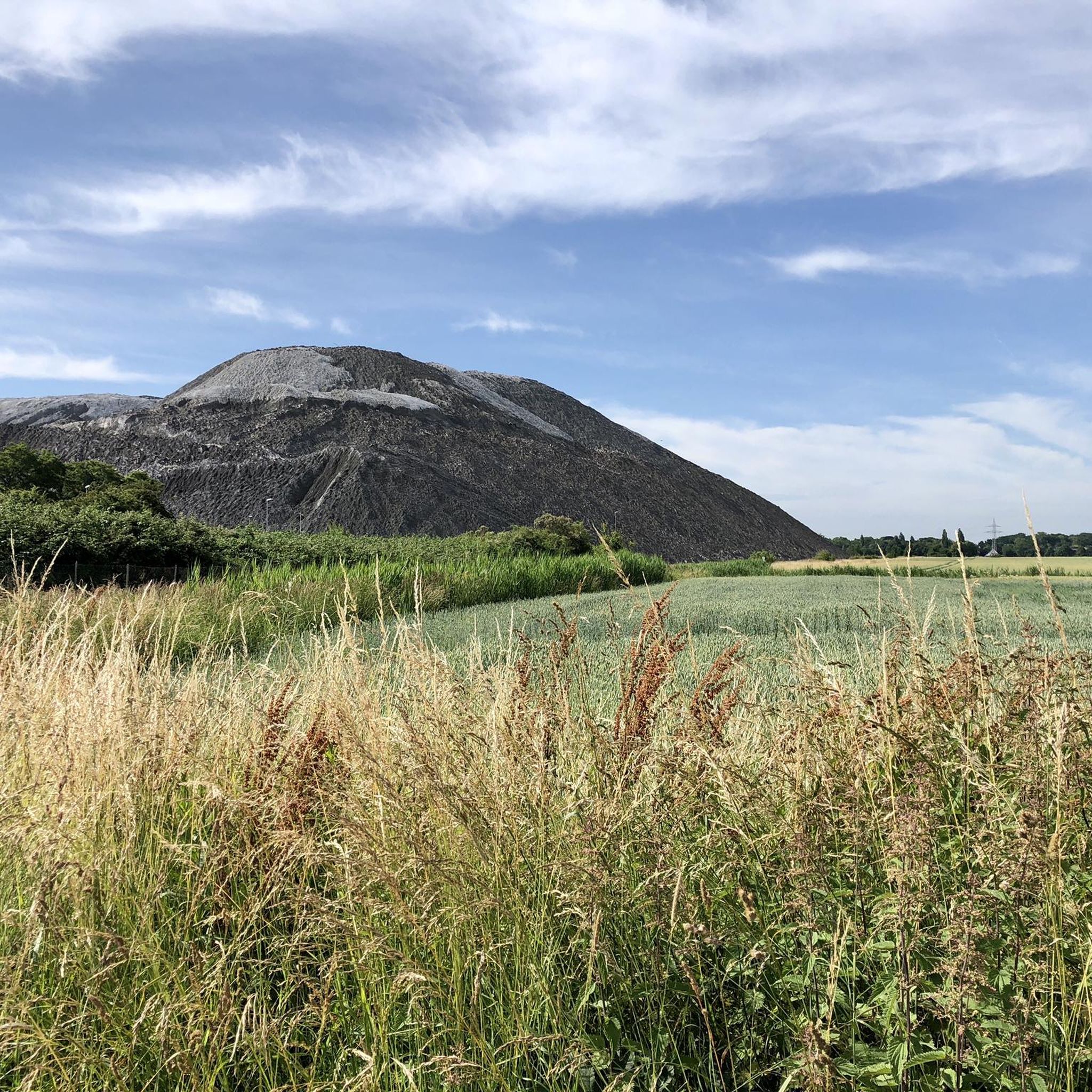
This is the spoil heap of the now closed Bergmannssegen-Hugo potash mine.
0
0

Here you can write or attach your heart's desires! Only natural materials please!
0
0

The historic iron truss bridge was raised in the 1990s to allow new ships to pass through.
0
0

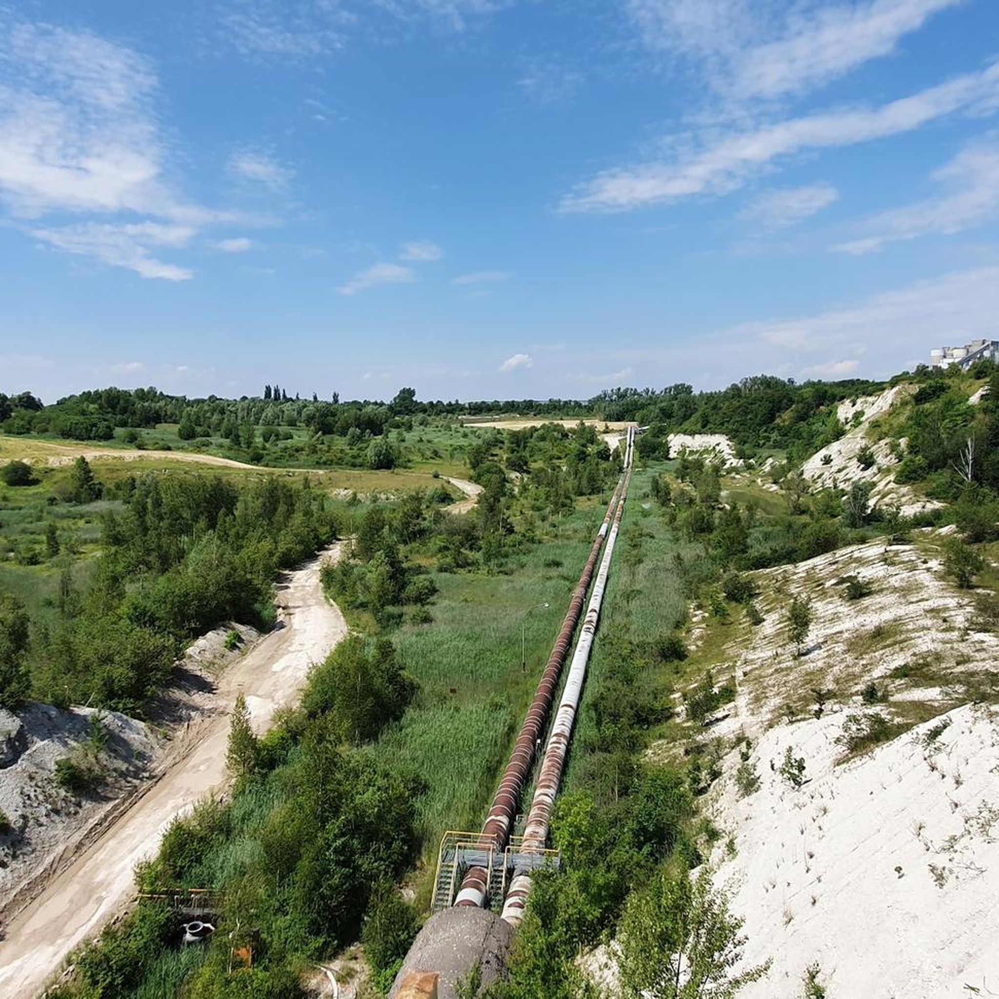
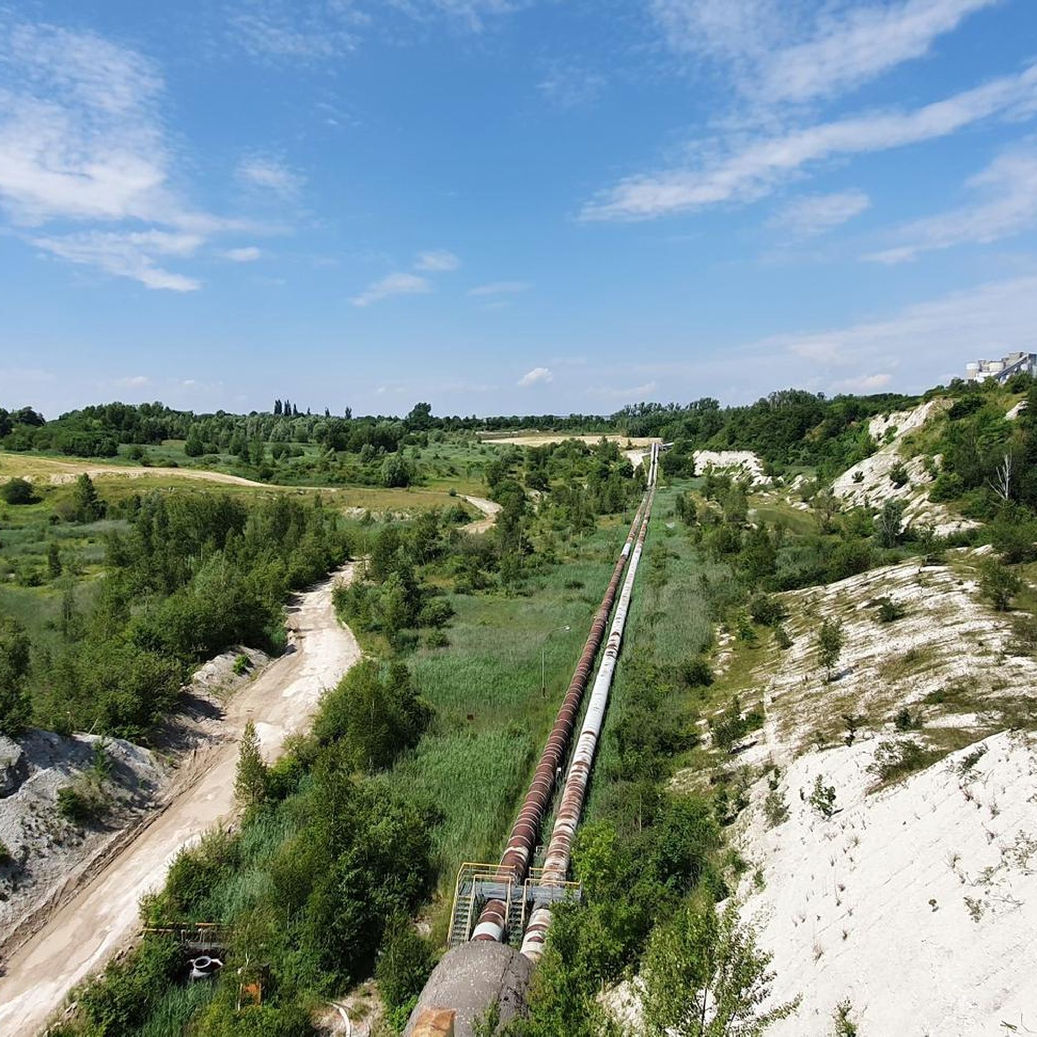
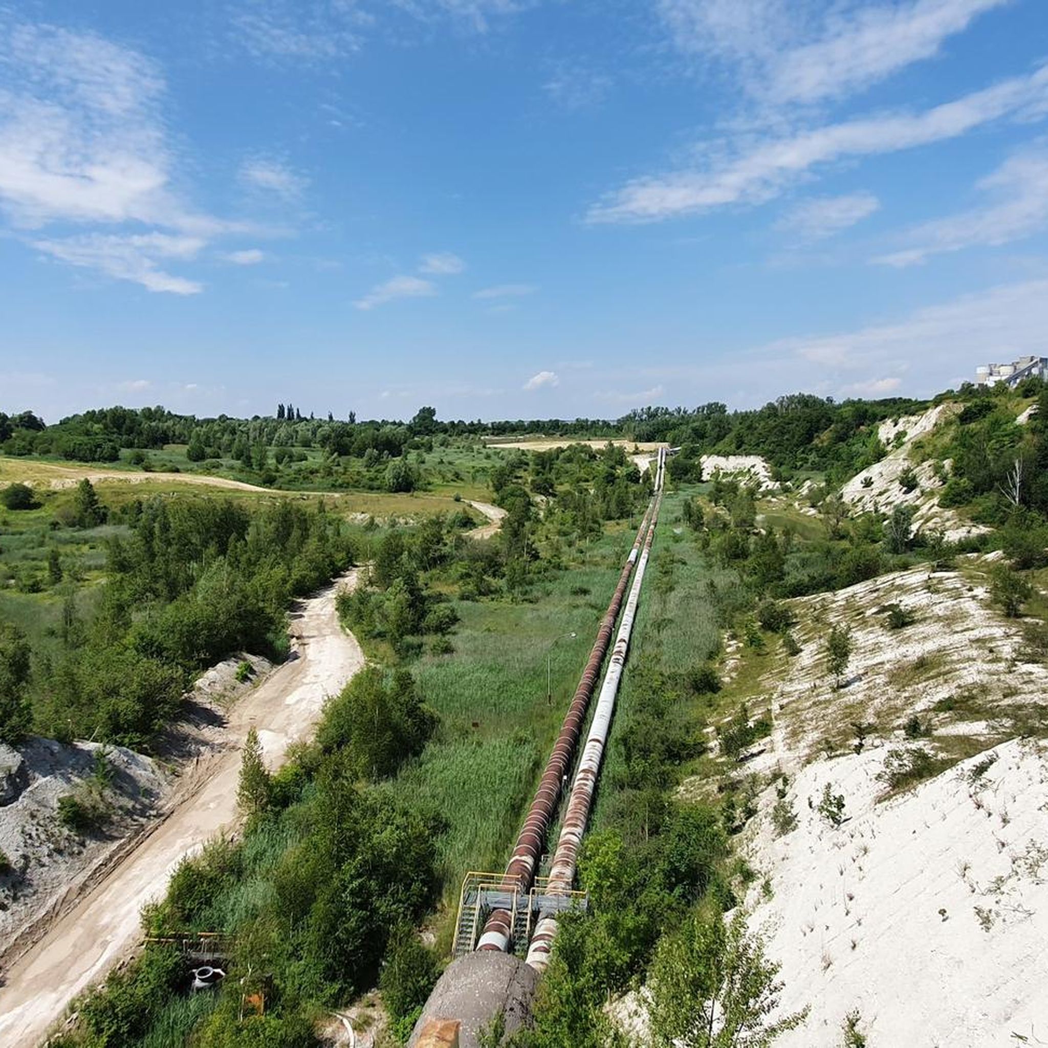
Impressive open-cast mine by Holcim
1
0


ゼーンデでのの人気観光スポット

komootモバイルアプリでインスピレーションを得よう


さらに探索
他の地域の最高のランニングトレイル & ルートを見てみましょう。
