コルバーモールのおすすめランニングルート
4.5
(64)
1,366
ランナー
67
ランニング
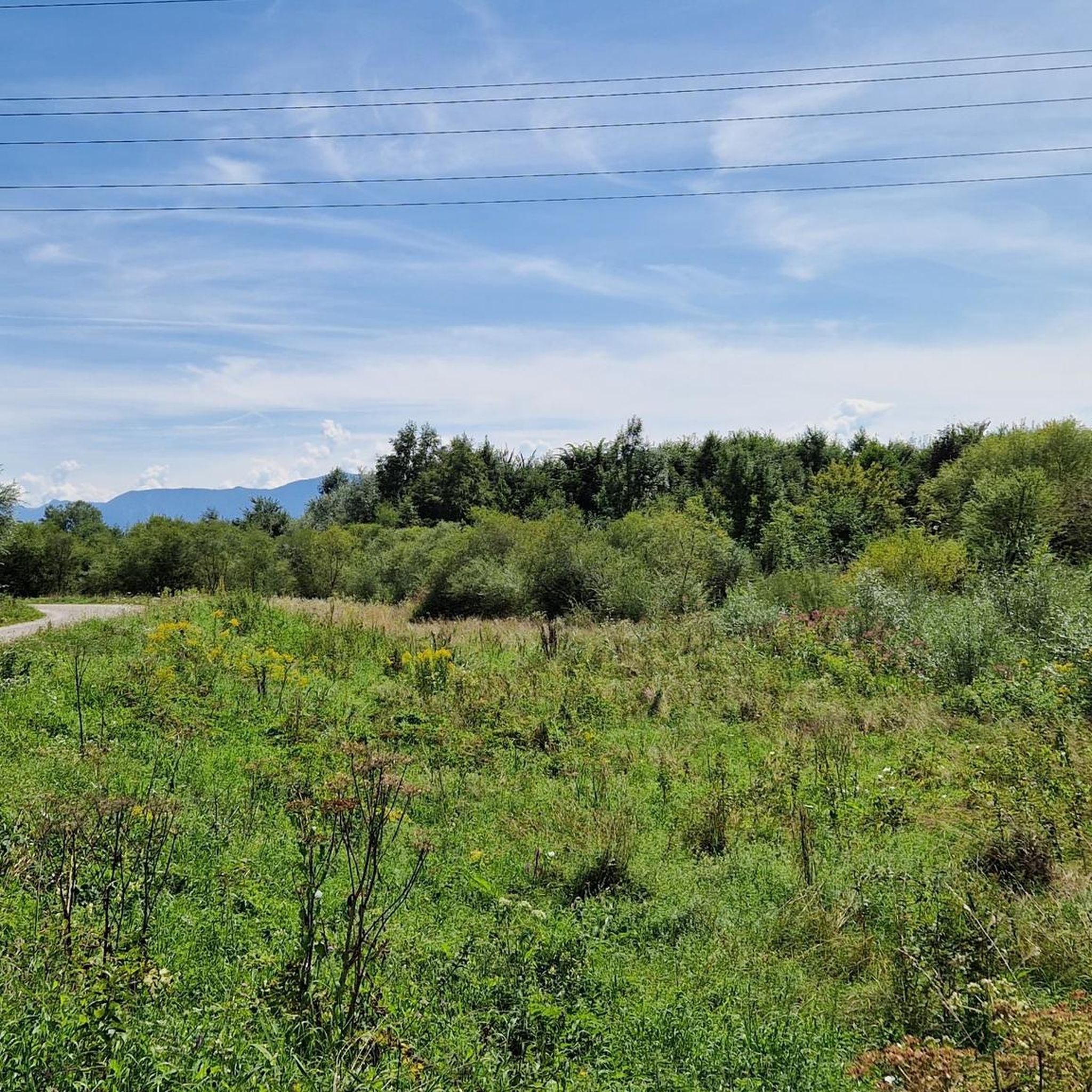
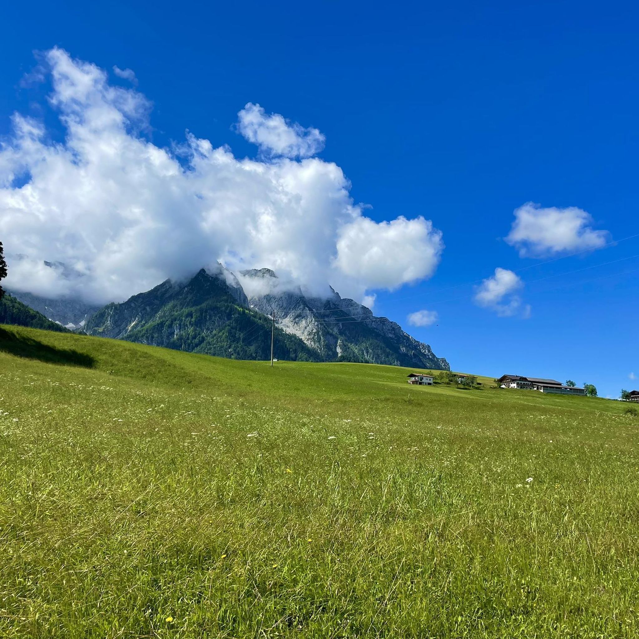
Kolbermoor周辺のジョギングは、なだらかな丘、緑豊かな牧草地、そしてマングファル川を特徴とする多様な景観を提供します。バイエルンアルプスの近くに位置するため、ランニングに最適な景色の良い背景が楽しめ、トレイルは川岸に沿って走ったり、牧歌的な森を抜けたり、小さな湖の周りを巡ったりします。この変化に富んだ地形には、あらゆる体力レベルに適した平坦な道や、適度な高低差のあるルートが含まれます。
Kolbermoor周辺の最高のジョギングルート
- 最も人気のあるジョギングルートは、Kolbermoor発の6.7マイル(10.8km)のWillinger Au ループで、所要時間は1時間6分です。周囲の牧草地と川の景色を楽しめます。
- 地元のランナーに人気のもう一つのコースは、マングファル川沿いを走る変化に富んだ地形の10.1マイル(16.2km)の難易度の高いルート、Kolbermoor発のMangfall Riverside Trail – Driftbachへの橋 ループです。
- 地元のランナーに愛されているのは、Tonwerk池のビオトープと地元の森を抜ける4.6マイル(7.4km)のルート、Kolbermoor発のBeehive – Tonwerk池 ループで、所要時間は約48分です。
- Kolbermoor周辺のジョギングは、川沿いの道、なだらかな丘、森のトレイルが特徴です。このネットワークは、簡単な平坦なルートから適度な高低差のあるより挑戦的なルートまで、さまざまなレベルのオプションを提供します。
- Kolbermoorのルートは、komootコミュニティから高く評価されており、40件以上のレビューで平均4.6つ星を獲得しています。1,400人以上のランナーがkomootを利用して、Kolbermoorの多様な地形を探索しています。
最終更新日: 9月 17, 2026
4.2
(5)
259
ランナー
9.90km
01:01
20m
20m
中程度のジョギング. ある程度のフィットネスレベルが必要です。 全般的に舗装された状態です。あらゆるスキルレベルに適しています。
3.5
(2)
81
ランナー
6.16km
00:38
10m
10m
中程度のジョギング. ある程度のフィットネスレベルが必要です。 全般的に舗装された状態です。あらゆるスキルレベルに適しています。

76
ランナー
16.2km
01:43
70m
70m
難しいジョギング. 標準以上のフィットネスレベルが必要です。 全般的に舗装された状態です。あらゆるスキルレベルに適しています。
5.0
(2)
46
ランナー
7.85km
00:50
30m
30m
中程度のジョギング. ある程度のフィットネスレベルが必要です。 全般的に舗装された状態です。あらゆるスキルレベルに適しています。
45
ランナー
6.18km
00:38
10m
10m
中程度のジョギング. ある程度のフィットネスレベルが必要です。 全般的に舗装された状態です。あらゆるスキルレベルに適しています。
さらに多くのルートや他のユーザーのおすすめ情報を確認できます。
すでにアカウントをお持ちですか?
おすすめのツアーは他のkomootユーザーが実際に経験した何千ものアクティビティに基づいています。
無料アカウントで今日から始めよう
次の冒険が待っています。
コミュニティからのヒント


コルバーモアで最高のジェラート
0
0

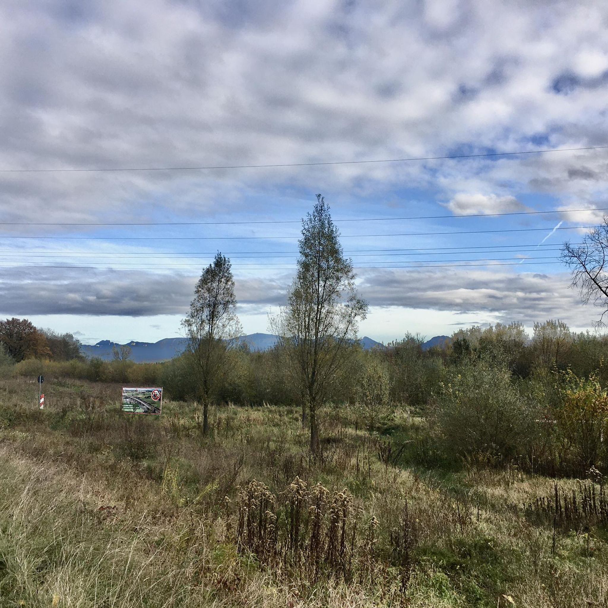
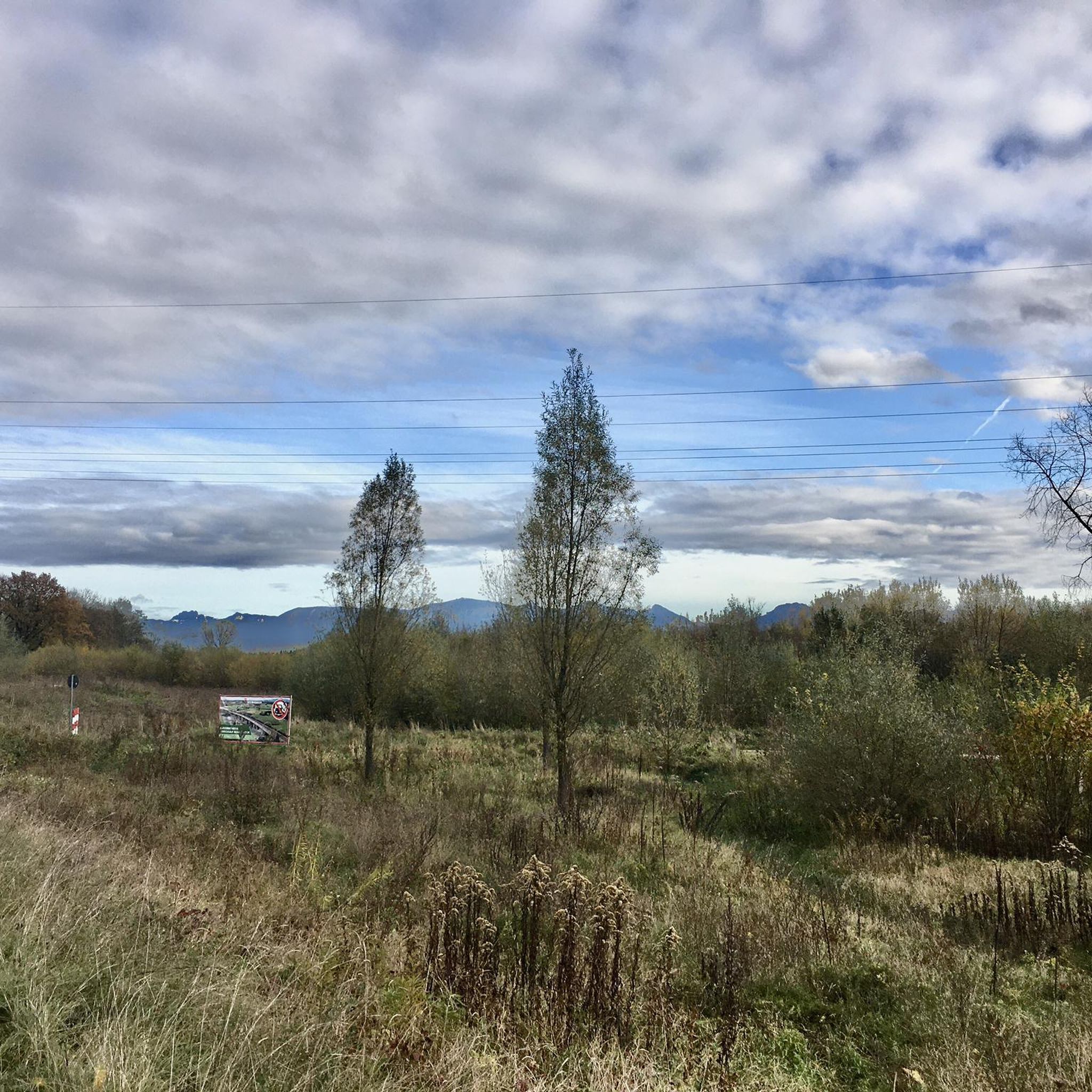
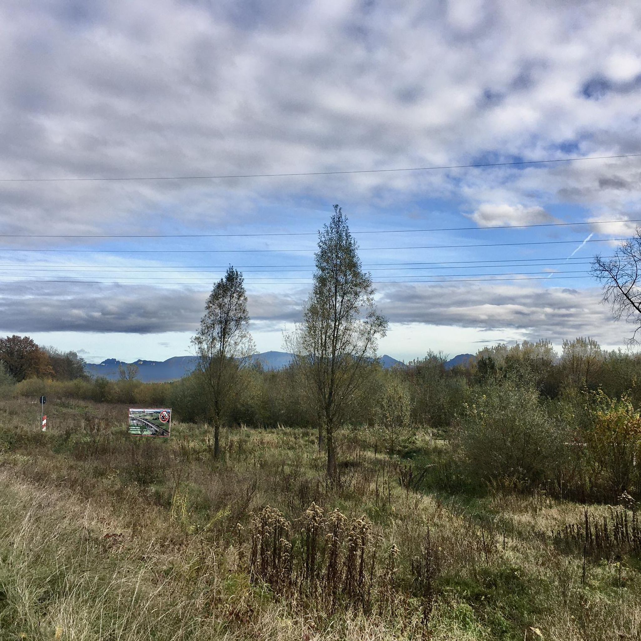
Very cool bridge, but unfortunately it doesn't fit into the landscape.
0
0
A beautiful cycle path runs along the Mangfall river. Small bays invite you to swim.
0
0

Between 2008 and 2011, the industrial monument was renovated; upon completion, it offers 12,000 m² of residential and office space, as well as an underground parking garage with 95 spaces. The former, enormous spinning mill now houses 42 modern loft apartments on the south and west sides of the building, along with approximately 5,000 m² of office space. The entire basement of the spinning mill serves as an underground parking garage. On the upper floors, the essential historical structural elements, such as vaulted ceilings, cast iron and concrete columns, and the old exterior masonry, were largely preserved. Since 2014, the Academy of Fine Arts at the Old Spinning Mill has been located there.
1
0
In recent years, extensive renaturation measures have been undertaken at the Maxmühle mill and in the municipalities of Bruckmühl, Bad Aibling, Kolbermoor, and Rosenheim, and these measures are to be continuously expanded. The weirs, some made of concrete and others of wood, which were installed in the riverbed to regulate the flow velocity, were already showing significant age-related damage. Renatured section of the Mangfall River Renatured section of the Mangfall River near Bad Aibling Mangfall River in Kolbermoor, heading west Confluence of the Mangfall and Inn Rivers in Rosenheim The weirs were removed from the river and replaced with fish ramps. The primary goal is to facilitate fish migration, as the once fish-rich river currently only maintains a significant fish population through stocking efforts by fishing clubs. In addition, the straightened banks of the Mangfall River have been reshaped to more natural characteristics, creating groyne-like structures that restore areas of slower flow along the banks. These are the natural habitats of fish fry and noble crayfish. Due to the damming of its tributaries and the Mangfall River itself, it lacks sufficient sediment. Geologically, there are concerns that the ongoing deepening of the Mangfall's riverbed could lead to landslides on the unstable, steep right bank (before the "Mangfall Knee").
1
0
In recent years, extensive renaturation measures have been undertaken at the Maxmühle mill and in the municipalities of Bruckmühl, Bad Aibling, Kolbermoor, and Rosenheim, and these measures are to be continuously expanded. The weirs, some made of concrete and others of wood, which were installed in the riverbed to regulate the flow velocity, were already showing significant age-related damage. Renatured section of the Mangfall River Renatured section of the Mangfall River near Bad Aibling Mangfall River in Kolbermoor, heading west Confluence of the Mangfall and Inn Rivers in Rosenheim The weirs were removed from the river and replaced with fish ramps. The primary goal is to facilitate fish migration, as the once fish-rich river currently only maintains a significant fish population through stocking efforts by fishing clubs. In addition, the straightened banks of the Mangfall River have been reshaped to more natural characteristics, creating groyne-like structures that restore areas of slower flow along the banks. These are the natural habitats of fish fry and noble crayfish. Due to the damming of its tributaries and the Mangfall River itself, it lacks sufficient sediment. Geologically, there are concerns that the ongoing deepening of the Mangfall's riverbed could lead to landslides on the unstable, steep right bank (before the "Mangfall Knee").
2
0

komootモバイルアプリでインスピレーションを得よう


さらに探索
他の地域の最高のランニングトレイル & ルートを見てみましょう。
