アスリングのおすすめランニングルート
4.4
(56)
334
ランナー
33
ランニング
アスリングでランニングを楽しめば、このエリアをより深く知ることができます。ランニングに適した美しいルートが見つかるように、komootがアスリングでのルートのコレクション全体を評価して選び抜いた、人気ランニングトレイルをご紹介します。ルートをクリックして詳細を表示し、他のユーザーがアップロードした役立つ情報や写真を閲覧しましょう。
最終更新日: 10月 5, 2026
4.6
(19)
32
ランナー
10.3km
01:04
40m
40m
中程度のジョギング. ある程度のフィットネスレベルが必要です。 全般的に舗装された状態です。あらゆるスキルレベルに適しています。
4.2
(6)
17
ランナー
10.2km
01:04
60m
60m
中程度のジョギング. ある程度のフィットネスレベルが必要です。 全般的に舗装された状態です。あらゆるスキルレベルに適しています。

4.2
(5)
14
ランナー
8.24km
00:52
80m
80m
中程度のジョギング. ある程度のフィットネスレベルが必要です。 全般的に舗装された状態です。あらゆるスキルレベルに適しています。
5.0
(1)
18
ランナー
13.6km
01:26
50m
50m
中程度のジョギング. ある程度のフィットネスレベルが必要です。 全般的に舗装された状態です。あらゆるスキルレベルに適しています。
4.0
(1)
11
ランナー
8.88km
00:56
70m
70m
中程度のジョギング. ある程度のフィットネスレベルが必要です。 全般的に舗装された状態です。あらゆるスキルレベルに適しています。
さらに多くのルートや他のユーザーのおすすめ情報を確認できます。
すでにアカウントをお持ちですか?
おすすめのツアーは他のkomootユーザーが実際に経験した何千ものアクティビティに基づいています。
無料アカウントで今日から始めよう
次の冒険が待っています。
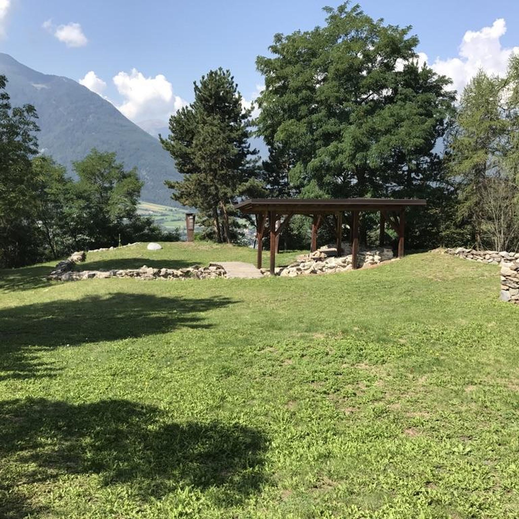
コミュニティからのヒント


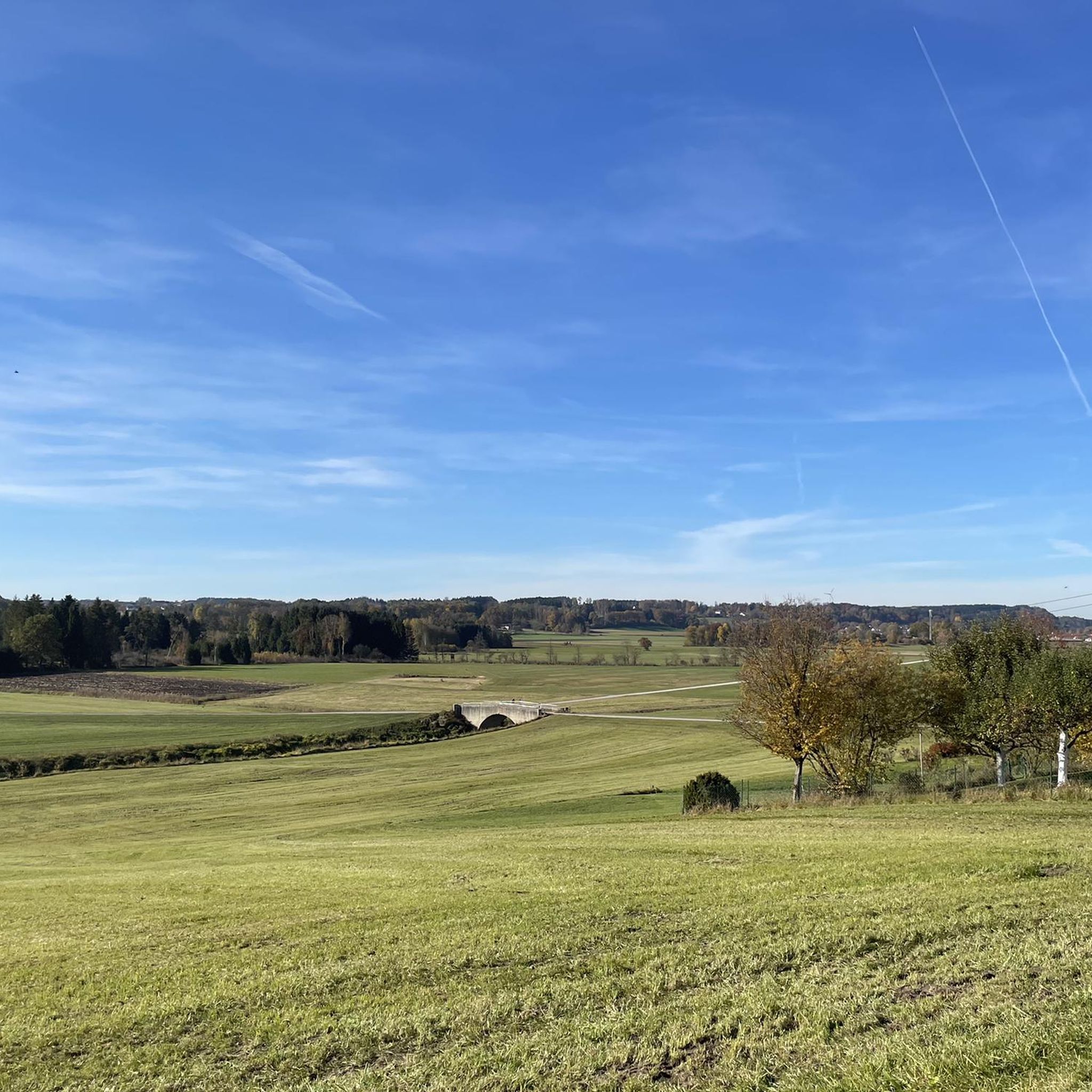
A Namw keeps his word. Nature almost as far as the eye can see.
1
0
The geographical coordinates are spherical coordinates that can be used to describe the position of a point on the earth's surface. The geographical latitude is measured from the equator to the north (0° to 90° north at the North Pole) and south (0° to 90° south at the South Pole), the geographical longitude from the prime meridian from 0° to 180° to the east and from 0° to 180° to the west. Parallels of latitude (lines of constant latitude) run parallel to the equator, longitudes (lines of constant longitude) through the North and South Pole. Source and further information https://de.m.wikipedia.org/wiki/Geographische_Koordinaten
1
0

The “The Degree Confluence Project” is an English-language website on which you can upload photos from very specific points on earth, the intersections of longitude and latitude. The aim is to document all intersections on earth with photos and upload them to the project website. Points that have already been visited can also be visited again and photographed to show possible changes. By the way, the site has been around for over 20 years, it was started in 1996 by Alex Jarrett from the USA. A point of confluence is the place where a line of longitude and a line of latitude intersect. There are about 64,000 such intersections on Earth. Of course, most of these points are in the sea, since the earth has more sea area than land area. All points in the sea are called “secondary points of confluence”. And because the intersections of longitude and latitude are naturally quite clustered near the poles, some intersections on land are also considered only secondary points. From the 49th parallel it hits every third point. Further points from the evaluation of the primary confluence points fall even closer to the poles. But there are still about 12,000 points left, all of which want to be visited and photographed. In Germany there are 32 primary and 15 secondary confluence points. One of these points is in the district of Ebersberg, something "Out of Aßling". Here the 48 degrees north latitude and the 12 degrees east longitude meet. We visited this point and took a photo. And since only from the 49th degree of latitude points are no longer counted as primary, the point at Aßling is a real primary point of confluence. Which is also beautifully situated.
3
0


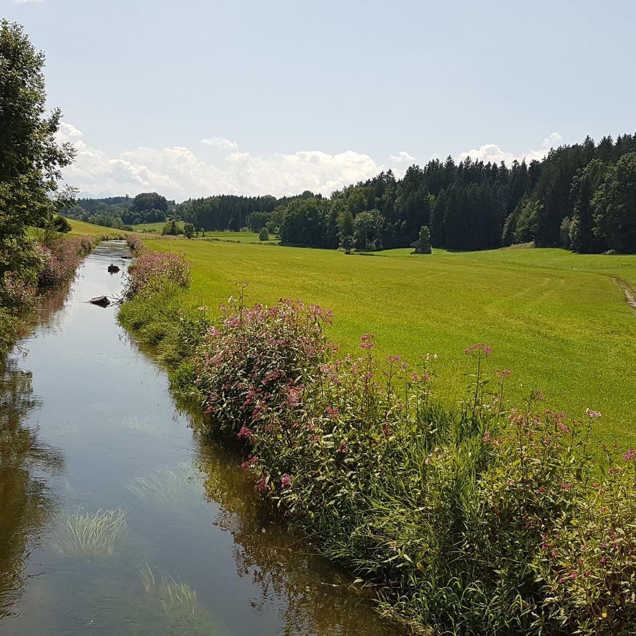
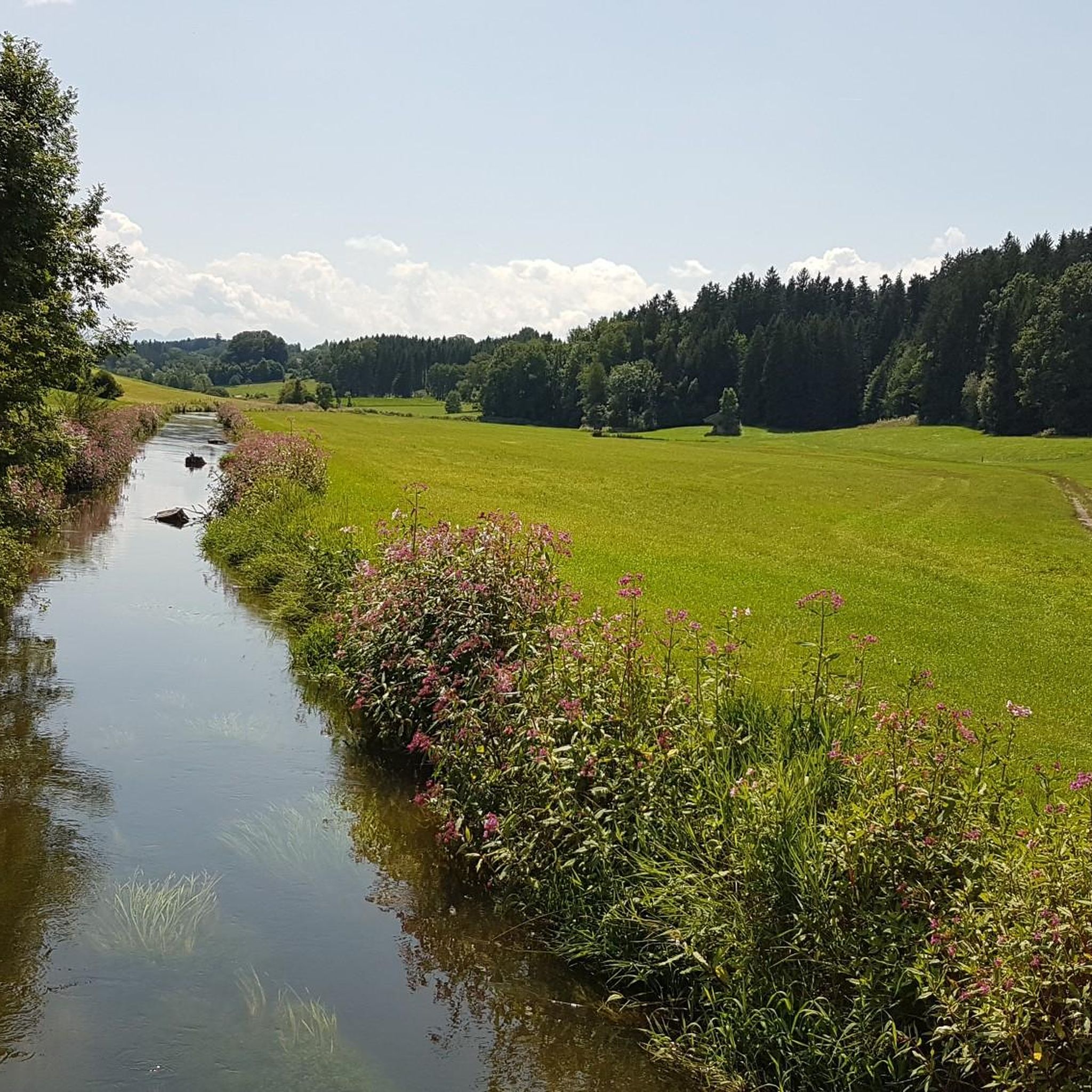
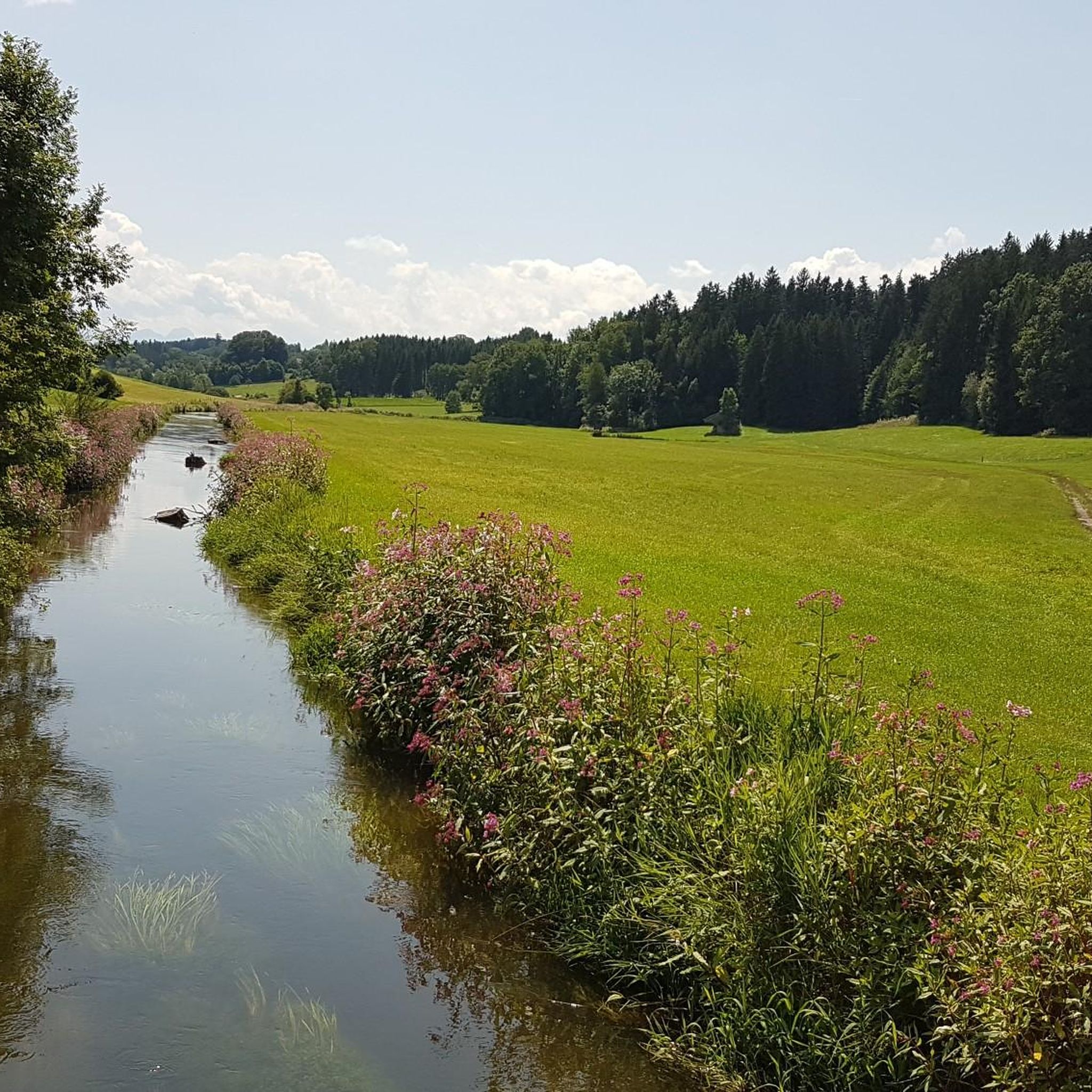
Beautiful path along the Attel. Occasionally one discovers one or the other beaver in the water. Great for hiking, walking, running or biking.
0
0
Nice walk, hike or bike path. With a bit of luck you will discover one or the other beaver in the Attel.
0
0
This boulder not only commemorates the 50th anniversary of 1947 - 1997 SPD Aßling - Loitersdorf, but also marks the intersection of the 48th degree of latitude north and the 12th degree of longitude east
1
0

komootモバイルアプリでインスピレーションを得よう


さらに探索
他の地域の最高のランニングトレイル & ルートを見てみましょう。
