バートハイルブリュンのおすすめランニングルート
4.4
(43)
970
ランナー
50
ランニング
バートハイルブリュンでランニングを楽しめば、このエリアをより深く知ることができます。ランニングに適した美しいルートが見つかるように、komootがバートハイルブリュンでのルートのコレクション全体を評価して選び抜いた、人気ランニングトレイルをご紹介します。ルートをクリックして詳細を表示し、他のユーザーがアップロードした役立つ情報や写真を閲覧しましょう。
最終更新日: 7月 10, 2026
140
ランナー
16.3km
02:15
550m
550m
難しいジョギング. 標準以上のフィットネスレベルが必要です。 全般的に舗装された状態です。あらゆるスキルレベルに適しています。
3.5
(4)
79
ランナー
10.1km
01:56
690m
690m
難しいジョギング. 標準以上のフィットネスレベルが必要です。 安定して歩行できる技術、丈夫な靴、高標高地での登山経験が必要です。

無料新規登録
4.0
(2)
57
ランナー
21.4km
02:56
640m
640m
難しいジョギング. 標準以上のフィットネスレベルが必要です。 安定して歩行できる技術、丈夫な靴、高標高地での登山経験が必要です。
4.6
(9)
58
ランナー
11.8km
01:19
80m
80m
中程度のジョギング. ある程度のフィットネスレベルが必要です。 全般的に舗装された状態です。あらゆるスキルレベルに適しています。
5.0
(2)
59
ランナー
12.0km
01:52
670m
670m
難しいジョギング. 標準以上のフィットネスレベルが必要です。 安定して歩行できる技術、丈夫な靴、高標高地での登山経験が必要です。
さらに多くのルートや他のユーザーのおすすめ情報を確認できます。
無料新規登録
すでにアカウントをお持ちですか?
おすすめのツアーは他のkomootユーザーが実際に経験した何千ものアクティビティに基づいています。

コミュニティからのヒント


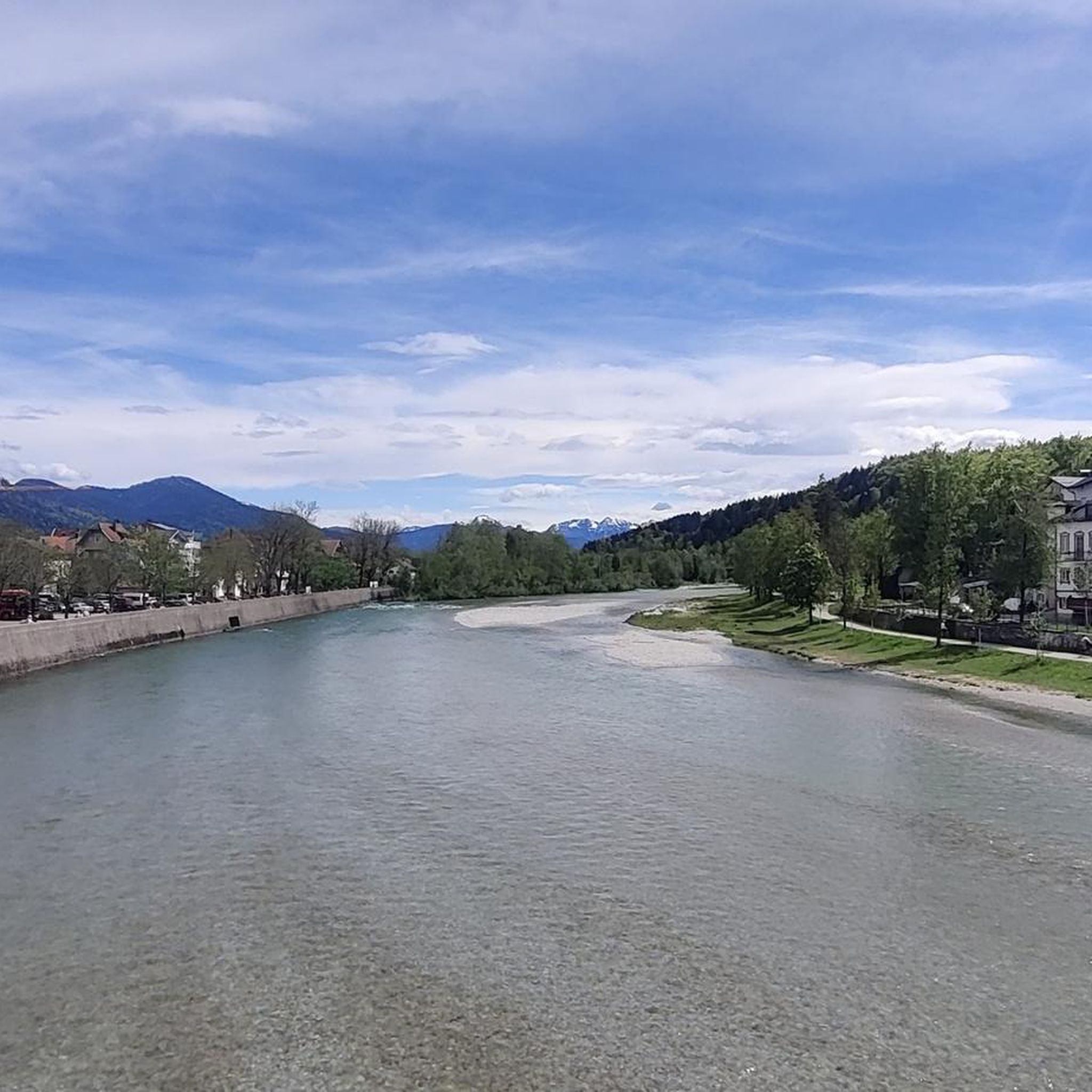
Beautiful section of the route on a training tour
0
0

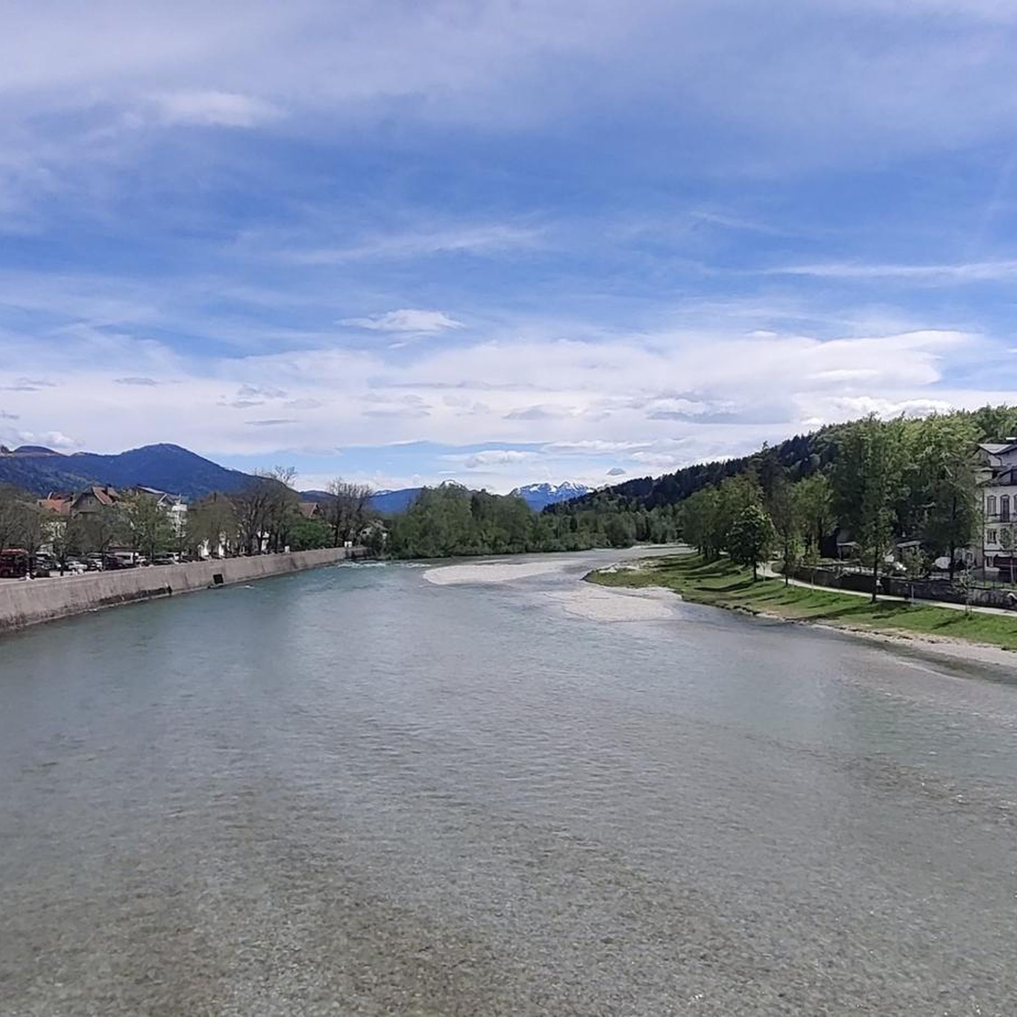
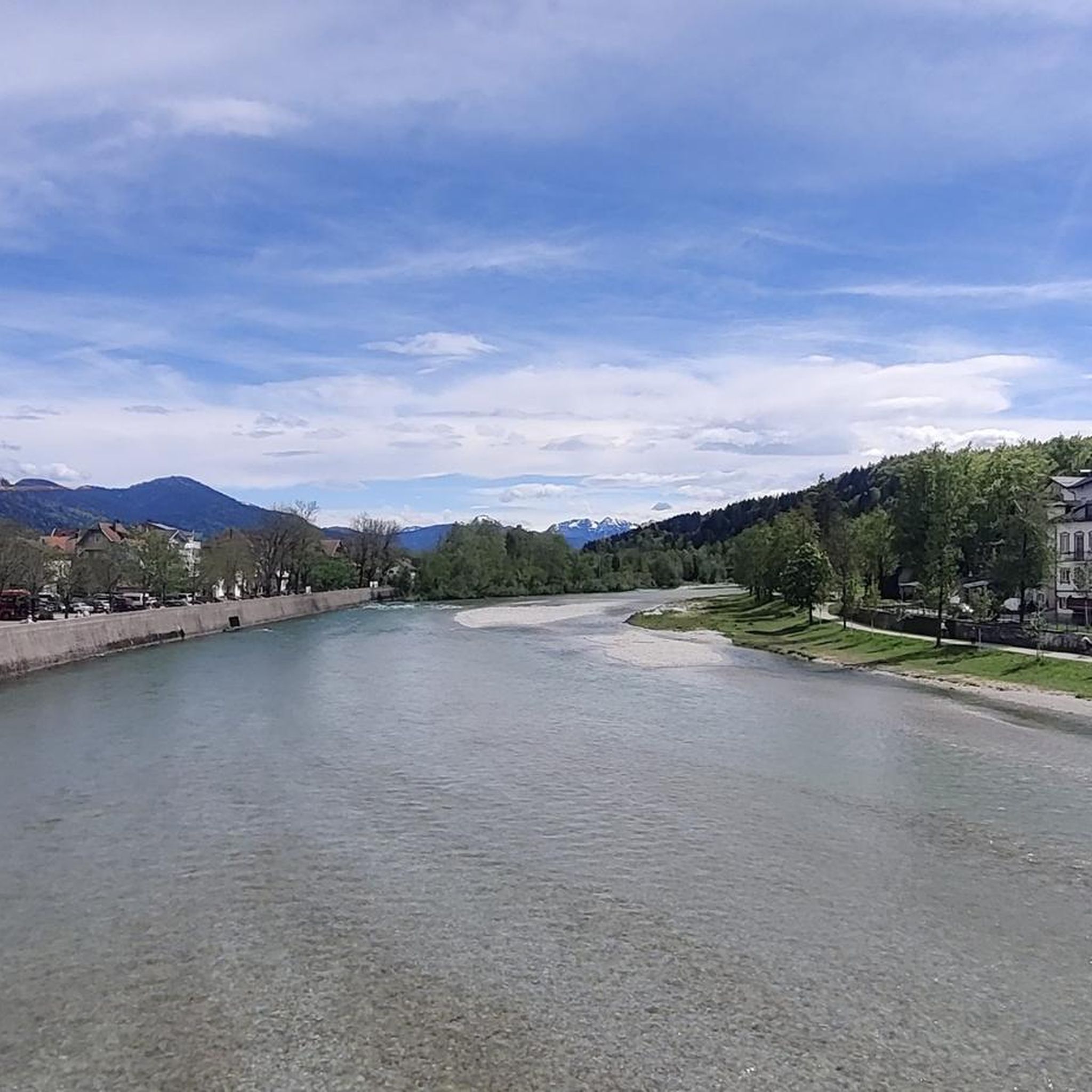
Beautiful bridge over the Loisach
1
0

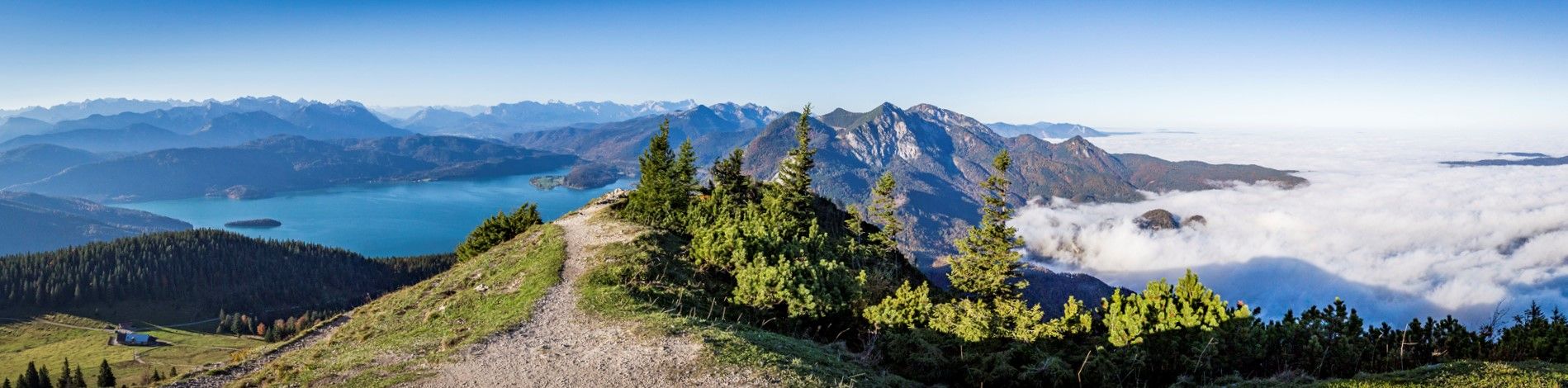
The Zwiesel, also known as the Zwieselberg, is a 1,348 m above sea level mountain in the Bavarian Alps near Bad Tölz. The mountain can be reached via an easy hike with a 620 m ascent from the Waldherralm car park in Wackersberg. The Zwiesel is located in the immediate vicinity of the Blomberg.
0
0

Very nice location...except for the annoying B472.
0
0

A beautiful, rather isolated summit cross near Zwiesel. The climb is easy (even doable with children) and leads through wooded areas throughout. Wonderful in summer if you're looking for a more shady ascent route 😊
1
0


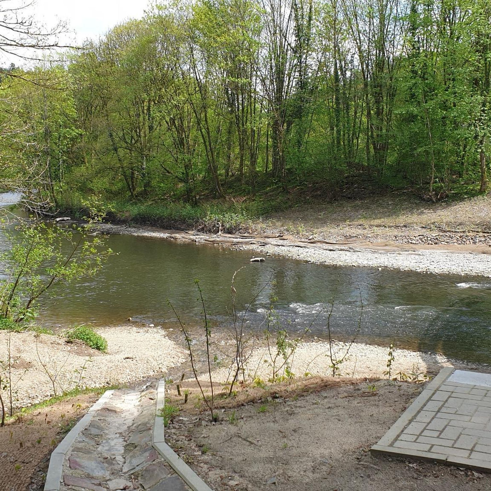
Opportunities to cross the Loisach River here in the moor are few and far between. This is one of them!
0
0

komootモバイルアプリでインスピレーションを得よう


さらに探索
他の地域の最高のランニングトレイル & ルートを見てみましょう。
