バラガナリーアッパーのおすすめツーリングルート
4.4
(12)
526
ライダー
40
ライド
バラガナリーアッパーでおすすめのサイクリングルートをお探しですか?行きたいルートを簡単に決められるように、このページではバラガナリーアッパー周辺の人気バイクライドをご紹介します。 ぜひ、お気に入りのルートを見つけてください。
最終更新日: 10月 14, 2026
5.0
(1)
5
ライダー
55.3km
03:43
710m
710m
Embark on the Slievenaman loop from Newcastle, a challenging touring bicycle route that spans 34.4 miles (55.3 km) and features a significant elevation gain of 2319 feet (707 metres). This…
2
ライダー
62.2km
03:51
360m
360m
Embark on the St John's Point Lighthouse loop from Newcastle for a moderate touring cycling experience across the scenic Lecale Peninsula. This route covers 38.7 miles (62.2 km) with an…

2
ライダー
32.5km
02:03
310m
310m
Embark on the Newcastle to Clough Castle loop, a touring bicycle route spanning 20.2 miles (32.5 km) with an elevation gain of 1014 feet (309 metres). This moderate ride typically…
4.4
(5)
65
ライダー
20.0km
02:12
610m
610m
難しい自転車ライド. 標準以上のフィットネスレベルが必要です。 全般的に舗装された状態です。あらゆるスキルレベルに適しています。
12
ライダー
17.6km
01:21
250m
250m
中程度の自転車ライド. ある程度のフィットネスレベルが必要です。 全般的に舗装された状態です。あらゆるスキルレベルに適しています。
さらに多くのルートや他のユーザーのおすすめ情報を確認できます。
すでにアカウントをお持ちですか?
おすすめのツアーは他のkomootユーザーが実際に経験した何千ものアクティビティに基づいています。
無料アカウントで今日から始めよう
次の冒険が待っています。
コミュニティからのヒント

FACEBOOK (ニューカッスル、ダウン県、ホーズ橋の歴史、2026年8月15日): https://www.facebook.com/HistoryofNewcastleCo.Down/photos/hores-bridge-over-the-spinkwee-river-sw-tollymore-was-built-in-1824-the-date-is-/754755631362196/ 「… スピンクウィー川にかかるホーズ橋、トリーモア南西部は1824年に建設されました。...」
1
0
Wikipedia(Tollymore Forest Park、2026-08-14): https://en.m.wikipedia.org/wiki/Tollymore_Forest_Park 「…パーネル橋は、18世紀後半にトリーモアを訪れたジョン・パーネル卿を記念して名付けられ、1842年に建設されました。トリーモアで最後に建設された石橋でした…」
2
0
ウィキペディア (Tollymore Forest Park, 2026-08-14): https://en.m.wikipedia.org/wiki/Tollymore_Forest_Park 「... ハーミテージは、ジェームズ・ハミルトン(第2代クランブラシル伯爵)が1770年代に、友人のジョン・モンタギュー、モンザーマー侯爵を偲んで設計した小さな石造りの避難所です。川の上の峡谷の斜面に建てられており、男性が釣りをする間、女性が避難する場所として使われていました。ハーミテージ内にはギリシャ語の碑文があり、「クランブラシルから、親愛なる友人モンザーマーへ 1770年」と訳されています。...」
2
0
Wikipedia (Tollymore Forest Park, 2026-08-14): https://en.m.wikipedia.org/wiki/Tollymore_Forest_Park 「… ホーン橋は、小さな暗渠化された小川を横切り、砂利道によって渡られます。橋の下の小川は、小道につながる板敷きの遊歩道で覆われています。1770年頃、初代または2代目のアールによって建てられました。...」
1
0

The vast coastline stretches out endlessly before you, and the panorama with the majestic Mourne Hills in the background creates a scene that is hard to put into words. The gentle waves touching the sand and the silence of the surroundings make you feel the vastness and freedom of this place.
1
0
This historic 12th century building is a typical example of an Anglo-Norman motte with a kidney-shaped bailey. The 7.6m high mound, which once housed a wooden tower, was later replaced by a stone tower house, the ruins of which can still be seen today. Access is via Clough's main road; there is a small car park, but it is not always well signposted. Access is usually permitted. The surrounding countryside, with views of the Mourne Mountains, offers a tranquil atmosphere that invites you to linger.
1
0
This picturesque spot is located between Dundrum Bay and Murlough Bay and offers impressive views of the surrounding countryside. The paths there lead through the Murlough National Nature Reserve, a 6,000-year-old dune system that is great for cycling. However, some sections can become slippery in wet weather, so care must be taken. A particular highlight is the Downshire Bridge, which connects the village of Dundrum with the nature reserve and provides a charming crossing over the bay.
1
0
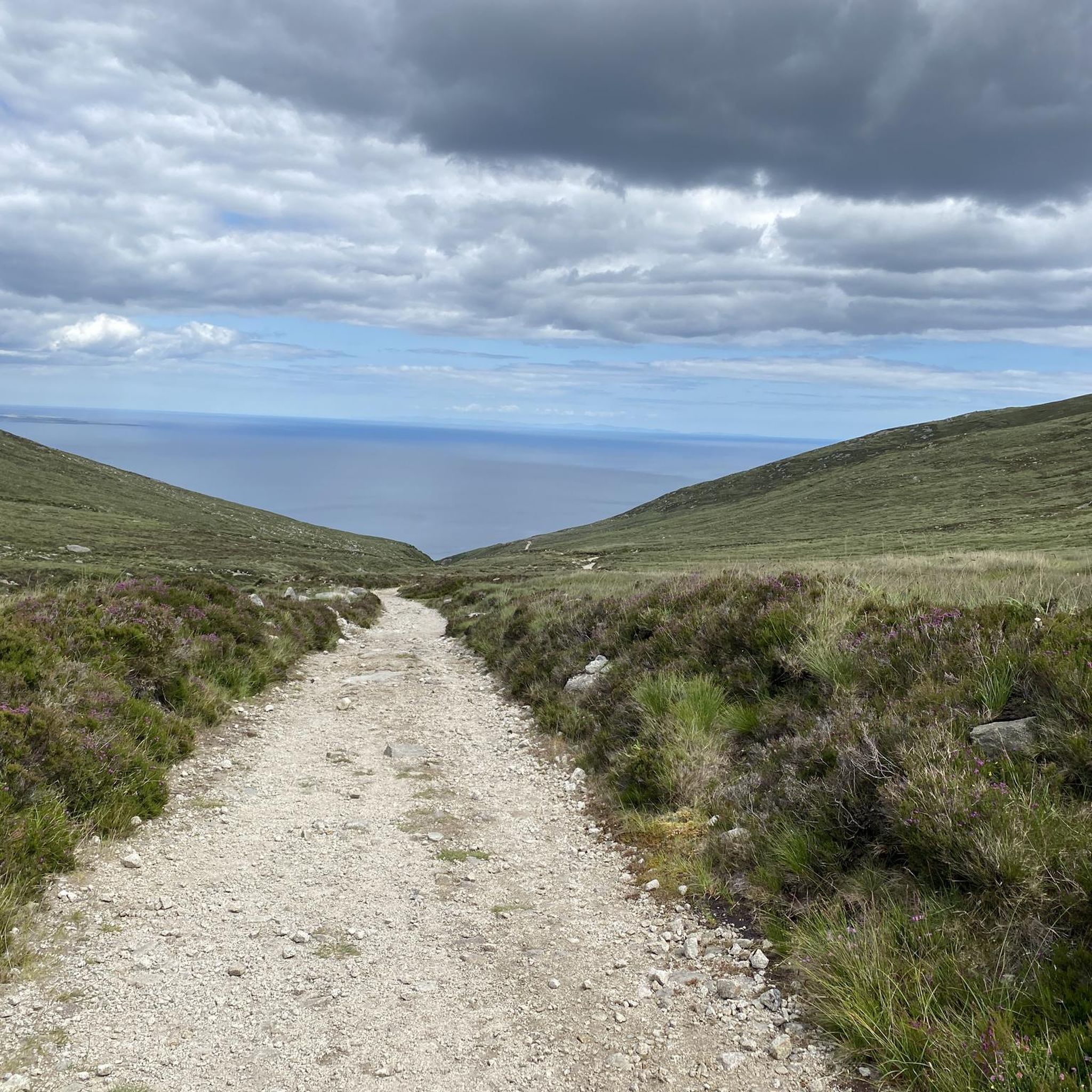
The gently ascending road winds through a wide, open landscape, surrounded by grassy hills and breathtaking silence. Only the wind and the quiet hum of the tires accompany you here as your gaze wanders into the distance. The climb may be challenging, but the view that opens up with every meter of altitude is worth the effort. Once at the top, you feel free and rewarded, as if you have conquered a piece of nature and then the reward comes with the descent.
0
0
バラガナリーアッパーでのの人気観光スポット

komootモバイルアプリでインスピレーションを得よう


さらに探索
他の地域の最高のサイクリングルートを見てみましょう。
