北東部のおすすめツーリングルート
4.2
(89)
1,022
ライダー
63
ライド
北東部でおすすめのサイクリングルートをお探しですか?行きたいルートを簡単に決められるように、このページでは北東部周辺の人気バイクライドをご紹介します。 ぜひ、お気に入りのルートを見つけてください。
最終更新日: 10月 12, 2026
3.0
(1)
5
ライダー
23.4km
01:35
280m
280m
中程度の自転車ライド. ある程度のフィットネスレベルが必要です。 全般的に舗装された状態です。あらゆるスキルレベルに適しています。
51.8km
03:35
790m
790m
難しい自転車ライド. 標準以上のフィットネスレベルが必要です。 全般的に舗装された状態です。あらゆるスキルレベルに適しています。

4.5
(4)
34
ライダー
145km
08:48
1,110m
1,110m
難しい自転車ライド. 標準以上のフィットネスレベルが必要です。 全般的に舗装された状態です。あらゆるスキルレベルに適しています。
5.0
(1)
19
ライダー
21.7km
01:26
100m
100m
初級者向けバイクライド. あらゆるフィットネスレベルに適しています。 全般的に舗装された状態です。あらゆるスキルレベルに適しています。
3.0
(2)
11
ライダー
72.8km
04:24
320m
320m
中程度の自転車ライド. ある程度のフィットネスレベルが必要です。 全般的に舗装された状態です。あらゆるスキルレベルに適しています。
さらに多くのルートや他のユーザーのおすすめ情報を確認できます。
すでにアカウントをお持ちですか?
おすすめのツアーは他のkomootユーザーが実際に経験した何千ものアクティビティに基づいています。
無料アカウントで今日から始めよう
次の冒険が待っています。

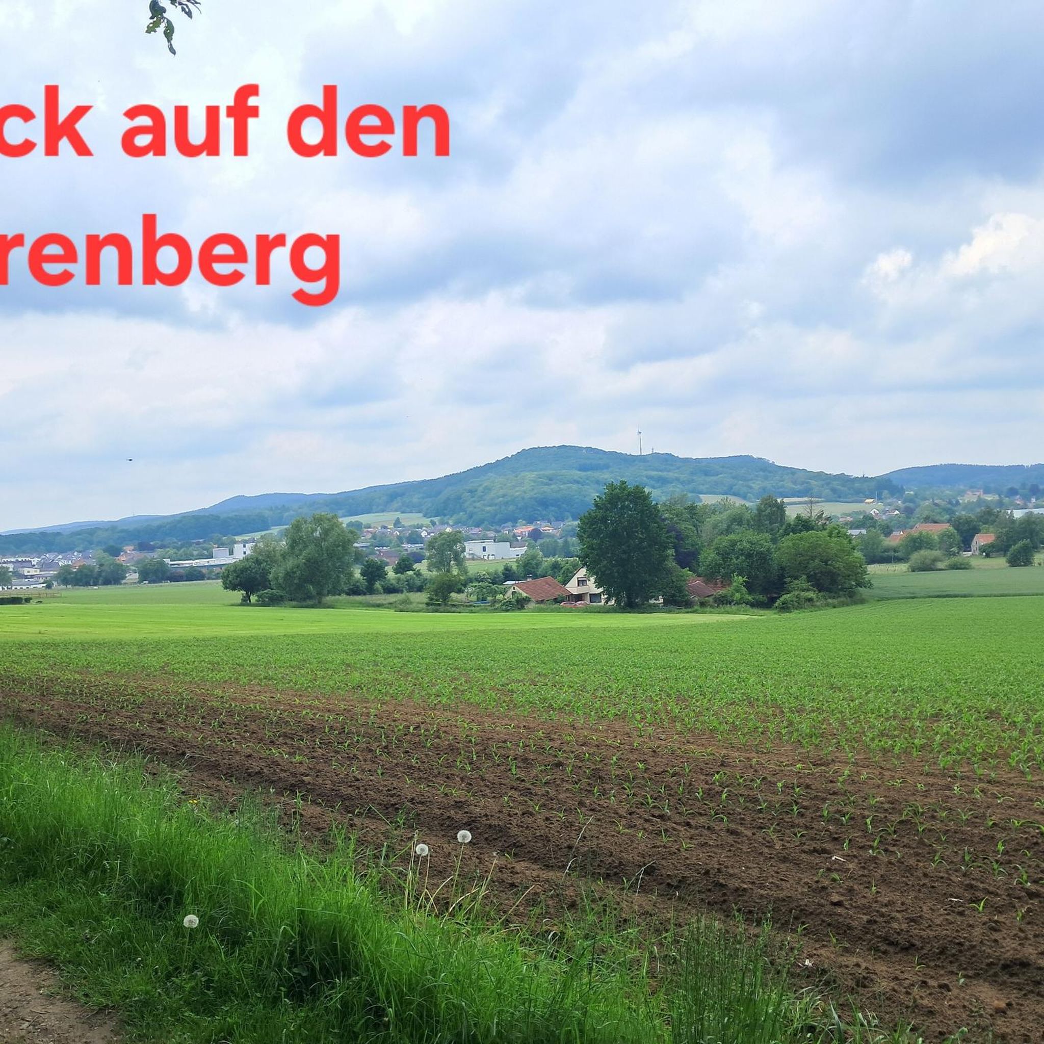
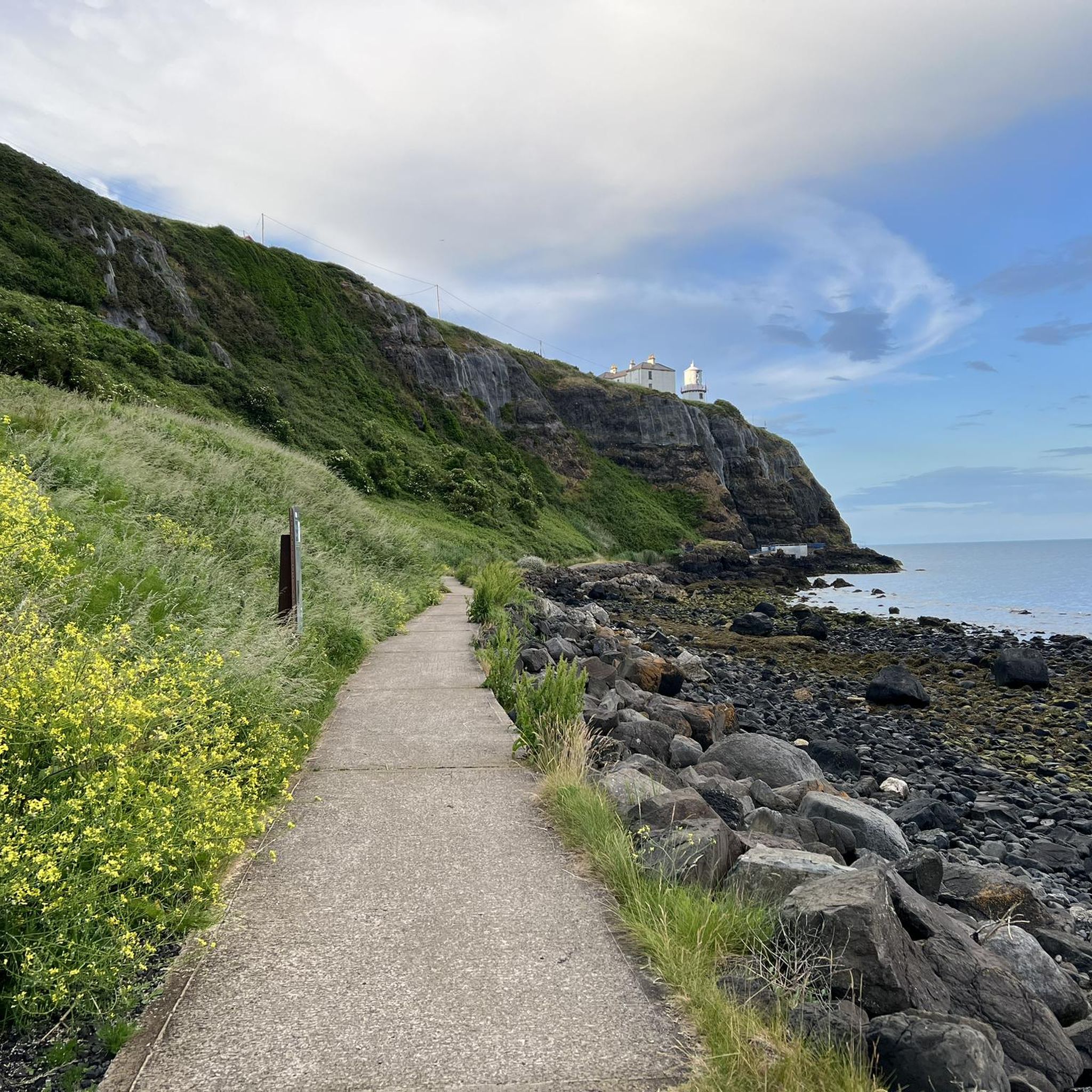
コミュニティからのヒント


William III of Orange was King of England and Ireland in personal union.
2
0

Impressive, massive fortress in an ideal waterfront location.
4
0
The bridge is named after Captain John Shaw of Oliver Cromwell's army, who built an oak bridge here in 1655. A stone bridge was built by Thomas Burgh in 1691, although this was destroyed by flooding, which led to it being replaced by the present bridge in 1709.
3
0


The path, which is part of National Cycle Route 9, offers a peaceful atmosphere that is ideal for relaxed bike rides - but walkers, joggers and dog owners also appreciate the route. The contrast between the quiet river and the partially flooded sections that can appear after heavy rain is particularly exciting. Sometimes the path leads directly to the water, and it almost seems as if the Lagan wants to reclaim a bit more space. The trees are reflected in the calm waters, which creates an almost mystical atmosphere in cloudy weather. Another highlight are the small, branching mountain bike trails that bring a bit of adventure to the tour. If you want a change and don't just want to follow the river, these trails offer a welcome change.
1
0
The path, which is part of National Cycle Route 9, offers a peaceful atmosphere that is ideal for relaxed bike rides - but walkers, joggers and dog owners also appreciate the route. The contrast between the quiet river and the partially flooded sections that can appear after heavy rain is particularly exciting. Sometimes the path leads directly to the water and it almost seems as if the Lagan wants to reclaim a bit more space. The trees are reflected in the calm waters, which creates an almost mystical atmosphere in cloudy weather. Another highlight are the small, branching mountain bike trails that bring a bit of adventure to the tour. If you want a change and don't just want to follow the river, these trails offer a welcome change.
0
0
北東部でのの人気観光スポット

komootモバイルアプリでインスピレーションを得よう


さらに探索
他の地域の最高のサイクリングルートを見てみましょう。
