ウンターヴァルトハウゼンのおすすめランニングルート
4.6
(238)
2,128
ランナー
233
ランニング
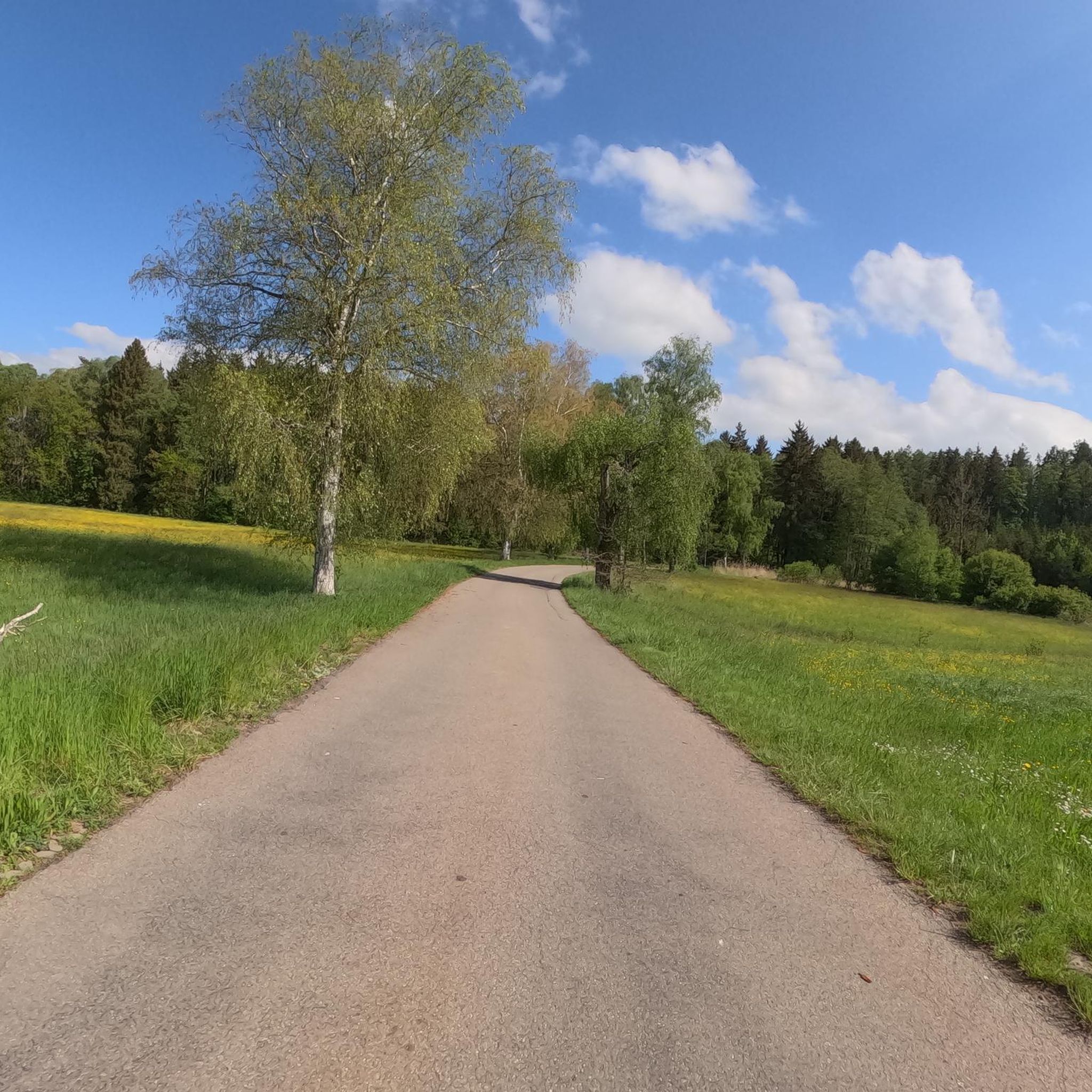
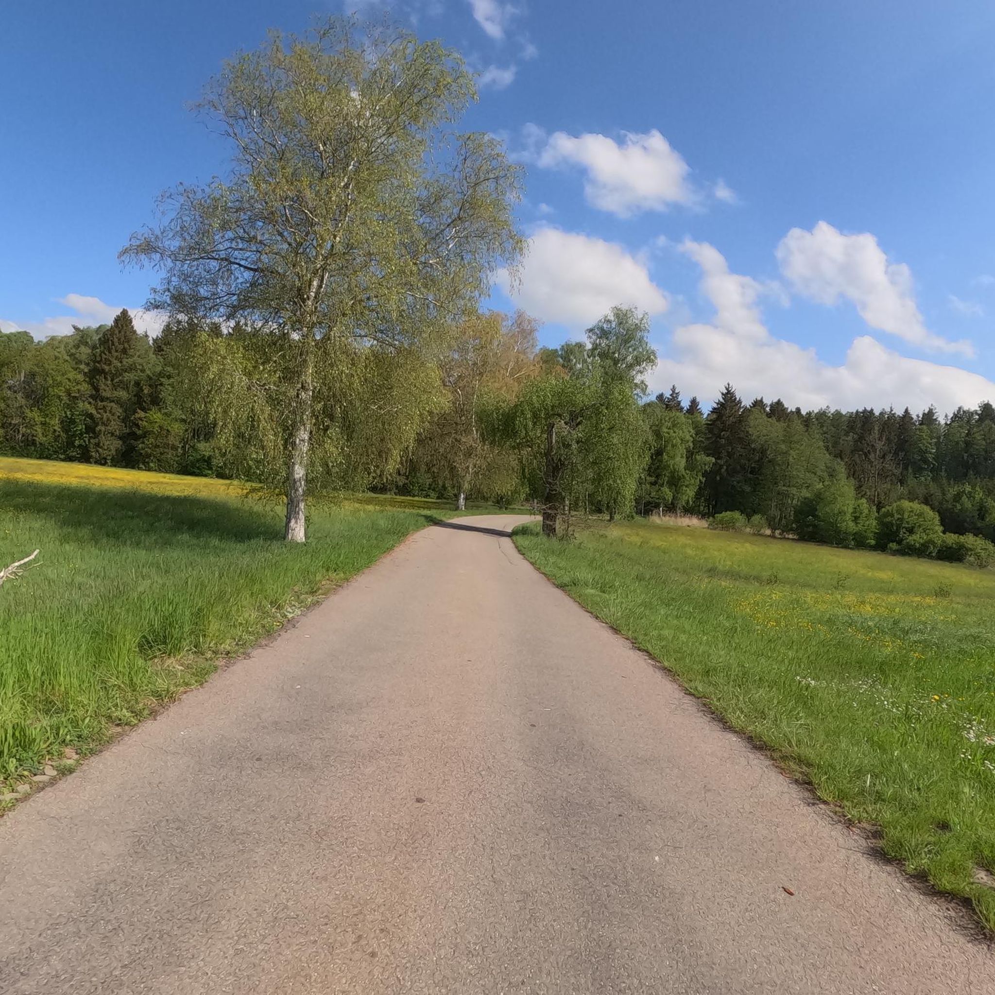
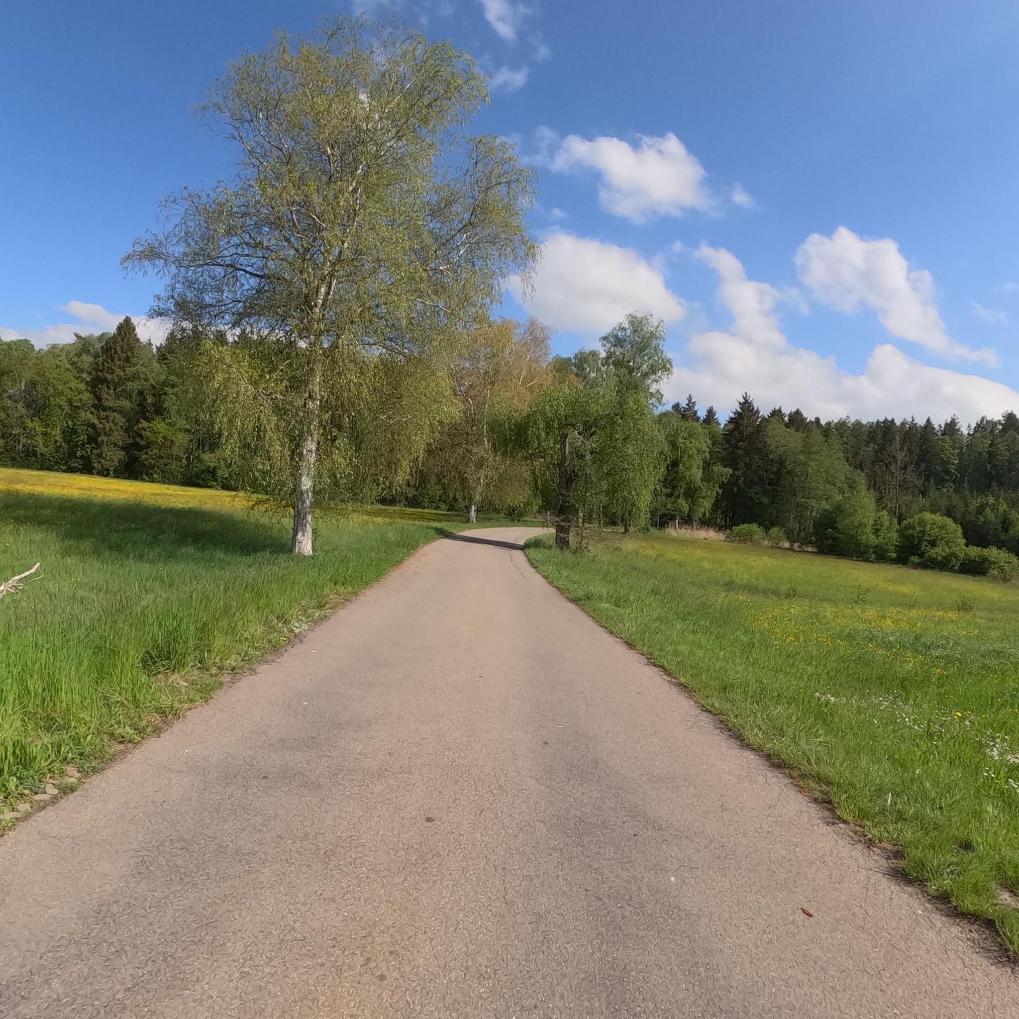
Unterwaldhausen周辺のジョギングルートは、起伏のある丘、緑豊かな牧草地、そして鬱蒼とした森に特徴づけられる風景を巡り、ランナーに多様な地形を提供します。この地域はドイツのラヴェンスブルク地区に位置し、アウトドアアクティビティに穏やかな背景を提供しています。広大なプフルンガー・ブルクヴァイラー・リート湿地帯に近いことから、ウッドチップの小道や森林ルートを含む、多様なランニング環境が楽しめます。この地域全体には、緩やかな登り坂と下り坂もあり、様々なランニングの好みに適しています。
Unterwaldhausen周辺のベストジョギングルート
- 最も人気のあるジョギングルートは、Running loop from Fleischwangenです。これは3.9マイル(6.3 km)のトレイルで、所要時間は39分です。このルートは開けた野原と木々の多い区間を縫うように進み、景色の変化を楽しめます。
- 地元ランナーに人気のもう一つのルートは、Running loop from Unterwaldhausenです。これは適度な難易度の3.8マイル(6.1 km)のコースです。このトレイルは地元の村の周辺や近くの自然地域を巡ります。
- 地元ランナーに愛されているのは、Snowy Landscape View – Goller Observation Tower loop from Riedhausenです。これは8.0マイル(12.9 km)のトレイルで、展望タワーのある変化に富んだ地形を巡り、所要時間は約1時間20分です。
- Unterwaldhausen周辺のジョギングは、起伏のある丘、開けた牧草地、そして鬱蒼とした森に特徴づけられ、リラックスしたジョギングと緩やかな登り坂のあるルートの両方のオプションがあります。このネットワークは、簡単なものから難しいものまで、様々なレベルの能力に対応するオプションを提供しています。
- Unterwaldhausenのルートは、komootコミュニティから高く評価されており、200件以上のレビューで平均4.5つ星を獲得しています。2000人以上のランナーがkomootを利用して、Unterwaldhausenの多様な地形を探検しました。
最終更新日: 8月 22, 2026
10
ランナー
6.36km
00:40
50m
50m
中程度のジョギング. ある程度のフィットネスレベルが必要です。 全般的に舗装された状態です。あらゆるスキルレベルに適しています。
8
ランナー
6.11km
00:38
50m
50m
中程度のジョギング. ある程度のフィットネスレベルが必要です。 全般的に舗装された状態です。あらゆるスキルレベルに適しています。

無料新規登録
5
ランナー
9.61km
01:00
60m
60m
中程度のジョギング. ある程度のフィットネスレベルが必要です。 全般的に舗装された状態です。あらゆるスキルレベルに適しています。
4
ランナー
12.8km
01:20
80m
80m
中程度のジョギング. ある程度のフィットネスレベルが必要です。 全般的に舗装された状態です。あらゆるスキルレベルに適しています。
3.0
(1)
7
ランナー
8.43km
00:53
110m
110m
中程度のジョギング. ある程度のフィットネスレベルが必要です。 全般的に舗装された状態です。あらゆるスキルレベルに適しています。
さらに多くのルートや他のユーザーのおすすめ情報を確認できます。
無料新規登録
すでにアカウントをお持ちですか?
おすすめのツアーは他のkomootユーザーが実際に経験した何千ものアクティビティに基づいています。
無料アカウントで今日から始めよう
次の冒険が待っています。
ログインまたは登録
コミュニティからのヒント


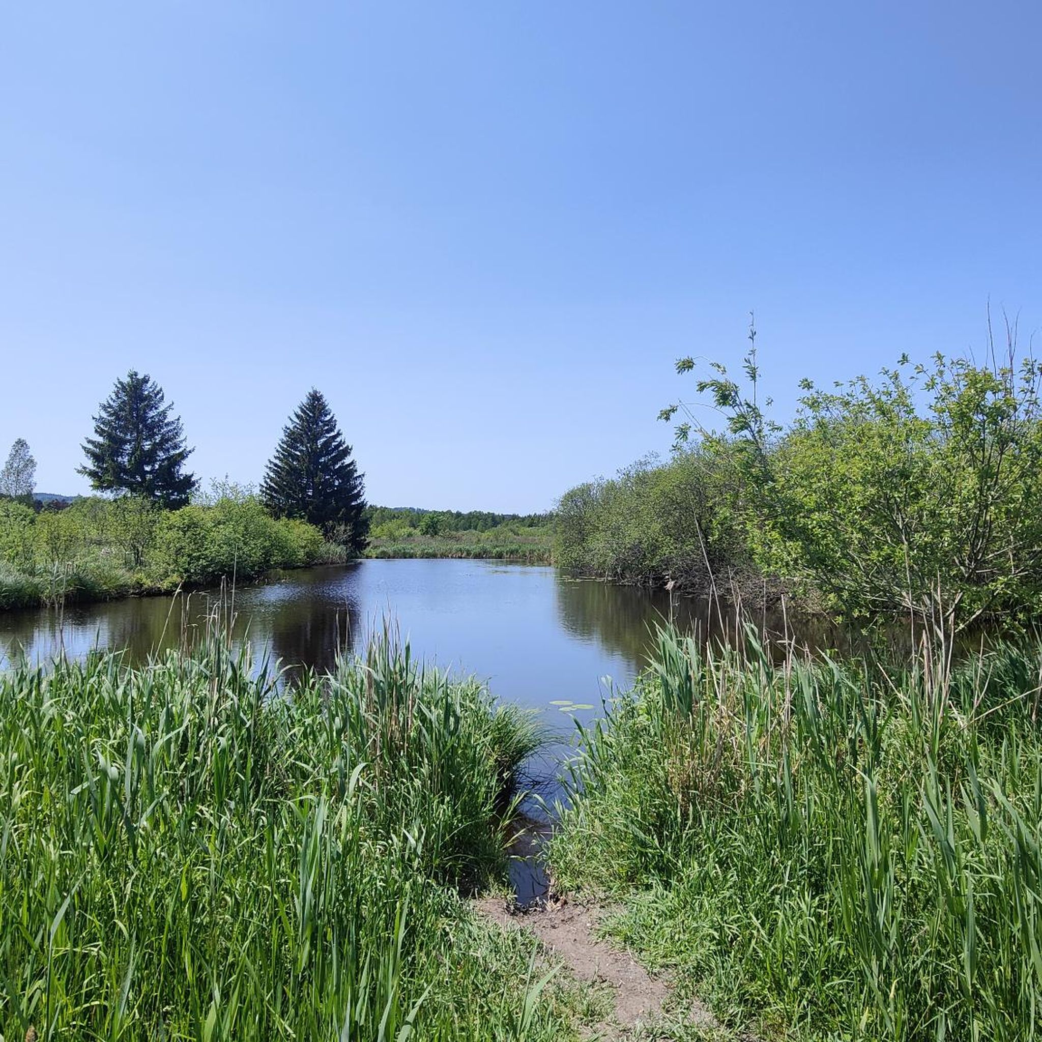
The Pfrunger-Burgweiler Ried (formerly Pfrunger Ried), with its 2,600 hectares, is the second largest contiguous moorland in southwest Germany after the Federsee. The Ried lies at an average elevation of 610 m above sea level in the districts of Ravensburg and Sigmaringen, near the municipalities of Wilhelmsdorf and Ostrach. It is surrounded by Tertiary molasse uplands, which reach their highest elevations at Rinkenburg (718 m above sea level) and Höchsten (837.8 m above sea level). Only small parts of the moorland, which once covered almost 3,000 hectares, have survived. Almost 2,000 hectares have been converted to grassland, and about 400 hectares are planted with birch and black alder trees. 120 hectares of water bodies were created by peat cutting; thus, the lowland and intermediate moor areas in particular have disappeared, with only a few remnants. However, the raised bogs have been largely preserved and cover an area of almost 150 hectares. The Pfrunger-Burgweiler Ried Nature Reserve has existed since 1980, covering an area of 780 hectares. It is intensively managed both scientifically and through experiential education and is accessible to visitors via several nature trails. Today's bog area is the remnant of a post-glacial lake that gradually filled with sediment and mineral deposits after the melting of the Rhine glacier, thus partially silting up. This gave rise to fens and, in some places, raised bogs above them. These areas were characterized by depth and wetness and were unsuitable for permanent human settlement. However, mineral infiltration also led to the formation of permanent islands on which the first permanent human settlements emerged. The core of the area, however, remained uninhabited and was considered uncultivable, inferior land. Source: https://de.wikipedia.org/wiki/Pfrunger-Burgweiler_Ried
3
0

From the almost 39 meter high Bannwaldturm you have a sensational panorama over the large moorland area of the Pfrunger-Burgweiler Ried nature reserve. Highly recommended, don't be put off by the 219 steps.
5
1


You can take a comfortable and inexpensive break here during a bike ride. Definitely worth a visit. 😉
3
0

https://www.haerles-hofcafe.de/ ....always nice to stop by Härles Hofcafe. Your body and soul are well taken care of and if necessary you can also connect the charger for your e-bike to a socket
3
1

The Pfungener Ried is particularly interesting for its animals and plants. I've been there several times.
3
0
ウンターヴァルトハウゼンでのの人気観光スポット

komootモバイルアプリでインスピレーションを得よう


さらに探索
他の地域の最高のランニングトレイル & ルートを見てみましょう。
